Mount Rainier National Park (MRNP) is filled with glorious places to visit. Its visitors justifiably flock to the well-known destinations: Sunrise, Paradise, Camp Muir, Summerland, Spray Park and Comet Falls to name just a handful. But there are dozens of other wonderful places — less well known and perhaps a bit more difficult to find — that have a beauty all their own. Longtime Mountaineers trip leaders, Gene Yore and Mickey Eisenberg, call these places “Our Secret Rainier.” This is the sixth of a periodic installment from Gene and Mickey on these gems in the park.
Mount Rainier National Park has over 100 climbable peaks — not counting Mount Rainier itself — either within or immediately adjacent to the Park boundary. Most are scrambles, a few are climbs, and 15 peaks are reachable as hikes.
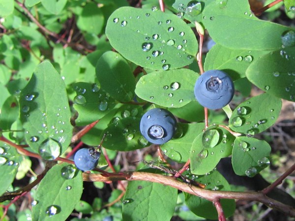
 Fresh Mountain Huckelberries. Photo by Mickey Eisenberg.
Giant Views and Giant Trees
One of the nice things about winter, other than skiing and
snowshoeing, is to plan next summer’s outings. This installment of Our Secret Rainier offers a lovely hike to anticipate. Huckleberry Creek Trail - a seldom-visited gem of a trail in the northern part of the Park has it all: Alpine vistas and open terrain in the upper portion and a forested lake, mountain streams, and massive- ancient trees in the lower portion. There are giant views of Rainier for the first portion of the trail and giant Douglas Firs and Western Hemlocks at the completion of the trail. This hike is aptly named for the gazillion huckleberry bushes along the trail. We promise solitude as few Park visitors venture forth on this trail.
Route Description
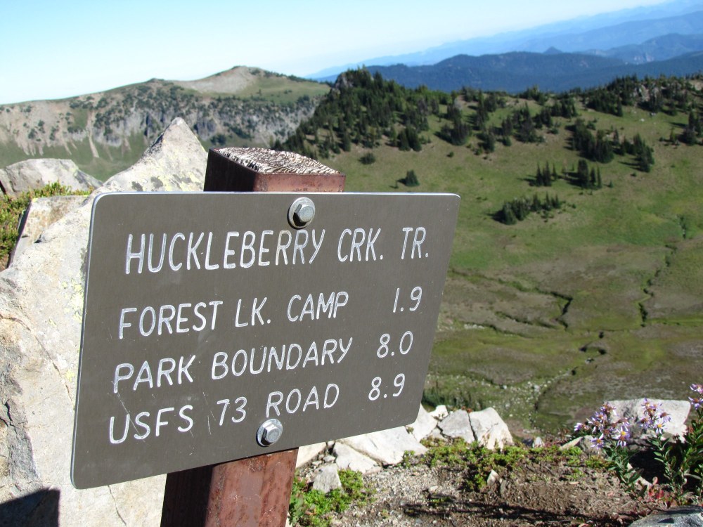
Leaving from Sunrise, climb Sourdough Ridge (the ridge above the parking lot) and turn left toward Frozen Lake. Turn right (north) .4 miles along the ridge at the directional sign to the Huckleberry Creek Trail. Stay on trail until for 9 miles until it reaches FS 73. You will come to an abandoned patrol cabin 1 mile south of the FS 73 trailhead and you will cross the national park border .9 miles south of the FS 73 trailhead.
Directions to Trailhead
We suggest doing this hike as a one-way traverse of 9 miles starting at Sunrise and finishing at FS Road 73. For the one-way traverse cars must be set at Sunrise and along FS road 73. To set the FS 73 car leave SR 410 onto FS 73 and travel 5.9 miles to a cement bridge over Huckleberry Creek (approximate elevation 3000’). Parking is readily available east of the bridge. The TH is east of the bridge and marked with a sign (this is where you will be exiting the trail). Now travel in the second car to Sunrise. The road to Sunrise (elevation 6400’) generally opens after July 4th. During heavy snow years the trail out of Sunrise may be snow covered until mid to late July.) If you start the one-way traverse from Sunrise the trail has a gain of 400’ and a fall of 3800’. If you start from FS 73 there is a gain of 3800’ and a fall of 400’.
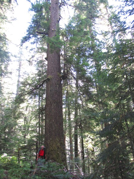
 Big tree near northern end of the trail. Photo courtesy of Mickey Eisenberg.
Notes
This trip, especially when starting from Sunrise, can easily be combined with an easy scramble to McNeeley Peak. This will add 1.5 miles and approximately several hundred feet of gain. If you have only one car we suggest starting at Sunrise. Prospector Creek (approximately 3.5 miles from Sunrise) is a good turn around point. Copious flowers will be abundant in the Sunrise area in mid July to September and there are many mushrooms along the trail in late summer (especially following a rainfall). And don’t forget the copious huckleberries in late August.
Huckleberry Creek Trail
- Skill level: Moderate hike
- Beauty: 7 on a scale of 10 (choose a clear day for this one)
- Distance: 9 mile one-way traverse
- Elevation gain: 400’ if you start at Sunrise 3800’ if you start at FS 73
- Total time: 5 hours if you start at Sunrise 7 hours if you start at FS 73. Setting cars will require an extra 90 minutes
- Best season: Mid-July until first snow or road to Sunrise closes
- Maps: USGS Sunrise, White River Green Trails Mt. Rainier East, Greenwater
- Equipment: Hiking gear
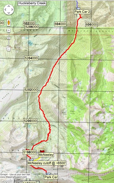
 Hiking route.
By Gene Yore and Mickey Eisenberg
WANT TO LEARN MORE?
Guide to 100 Peaks at Mount Rainier National Park is available as an enhanced iBook for the iPad on iTunes and in tablet eBook and smartphone eBook by Mountaineers Books.
MAIN IMAGE of a Sign on Sourdough Ridge pointing to trail. Photo by Mickey Eisenberg
This article originally appeared in our Summer 2018 issue of Mountaineer Magazine. To view the original article in magazine form and read more stories from our publication, visit our magazine archive.
 Gene Yore