Summoning my life’s longest, most formative journey, I sometimes put the maps of my arctic traverse end to end. When I do, all the wilderness I could ever want spreads across my living room floor, a smorgasbord of possibilities. “You must walk like a camel,” Thoreau counseled, “which is said to be the only beast which ruminates when walking.” And I did.
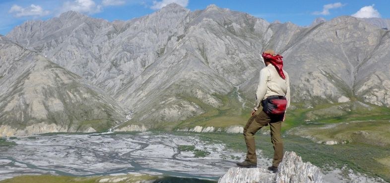
Riven by glacial valleys, shoaled by the coastal plain, Alaska’s largely treeless Brooks Range spans the state’s entire width, arcing east to west, a thousand miles scaled down here to just thirteen feet. The dot-and-dash line of the Continental Divide, which I crossed numerous times, squirms on the mountainous spine, splitting waters headed north to the Arctic Ocean from those southbound for the Bering Strait. To save weight on my sixty-day endeavor, I kept a journal on the maps’ backs and in their margins. It was a quest whose magnitude I’d desired yet dreaded for decades and that I had finally planned throughout one year. At the time I ventured out, fewer people had done this traverse alone and in one push than have visited the oceans’ deepest spot, the bottom of the Mariana Trench, and each had done so on wildly diverging routes.
I first set foot in that country in 1990, as a University of Alaska anthropology student doing graduate research. The National Park Service wanted to know which areas of Kobuk Valley and Gates of the Arctic National Parks Eskimo and Athabaskan hunters and gatherers had used in the past. If those groups could establish prior claims, they would be entitled to forever hunt, trap, and fish in those preserves. I learned much about the region’s topography from Inupiaq elders north of the Arctic Circle. For my unfinished dissertation, I studied how a boreal people, the Gwich’in, who until recently had led nomadic subsistence lives, construe place, how maps form in their minds, and if landscapes forge personalities.
From early adulthood, I’d shared those northerners’ peripatetic streak and love for stark country. In lieu of their guidance, maps and books had fostered my independence, nudging me into new terrain. Too much Jack London at a susceptible age, perhaps. I’ve based many life choices on scenery and concomitant open space, which has not always panned out. After only six years, I quit anthropology, in part because, like the cultural critic and English professor Marie Louise Pratt, I couldn’t stomach that with too few exceptions, such interesting folks doing such interesting things wrote such boring books. I neither could handle postmodern constructs then in vogue that diluted the rich flavors of reality, even nature’s importance, in so many vertiginous words. Still, my academic training and interests have informed my nonfiction and wilderness guiding, careers short on pay raises and promotions that I’ve stuck with for more than two decades.
“I can drop you anywhere with a map, and you’ll find your way home,” a former outfitter boss told me. I do and, I might modestly add, always on time for the air-taxi pickup. Hers ranks among the highest of compliments, like praising a brain surgeon for his sutures and steady hands. I wish there were similar aids for living my life, diagrams that recommend pathways from dream to goal, that warn of dangerous detours and dead ends. Seeing map contours, I envision landforms and watersheds and, given the writer I am, build whole inner worlds.
The maps aligned in my living room are relics, frayed, taped at the folds, as I consulted them often, frequently in a drizzle, seeking guidance from a two-dimensional oracle. The occasional bloodstain or squashed mosquito proves that my words did not come easily but had to be earned. All formerly blank spaces now crawl with my cursive script, with life transposed into text, the work of a nature accountant or ambulant graphomaniac. The map panels, too, are annotated, with my symbols for caches, campsites, the airstrips’ lifeline to civilization—and my route worming into the wildlands.
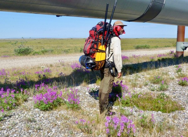
Following map contours step by laborious step, I’d quickly wised up to the cartographers’ code. Bunched chocolate-brown lines meant steep climbs or descents; hedgehog marks promised squelchy swamps; robin’s-egg blue stood for lakes, ponds and rivers, or finely striated snowfields and glaciers; that same hue spelled wet crossings, creek side coffee breaks, slippery footing.
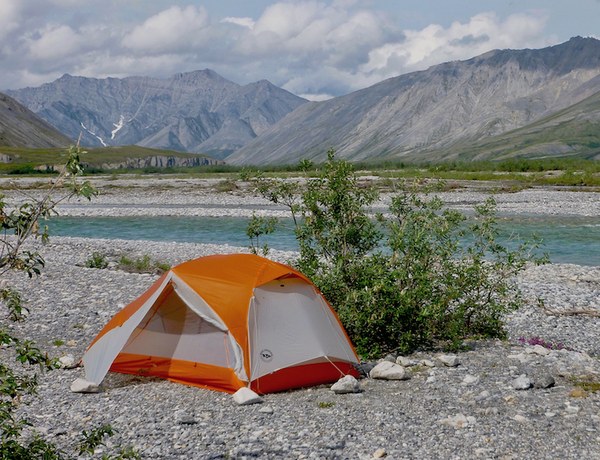
What the ten US Geological Survey quadrangles fail to show: tussocks, the knee-high vegetation humps taxing my knees, ankles, and spirit; the bushwhack up Ekokpuk Creek, the trip’s worst section, not even hinted at by the usual mint-green patches on the map; the vigor of streams I forded that made hiking poles thrum; veils of mosquitoes that shadowed me eager for a meal; grizzlies that circled downwind for a rank whiff of me, which normally—but not always—sent them bolting. Though I did not mark wolf encounters on these sheets, I can to this day pinpoint each one to within a mile even without my dense notes.
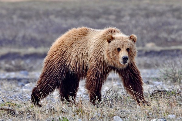
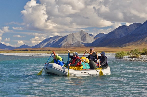
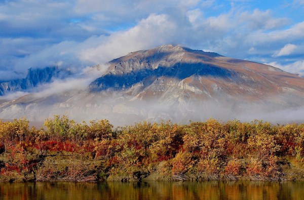
The maps do not hold the metal taste of spring water so cold it induced ice cream headaches. They do not carry the perfume of crushed heather or Labrador tea, the soughing of breezes or the tang of August blueberries. They omit the fog that blotted out Peregrine Pass, the wind gusting in Noatak Valley, the rain that soaked me for thirty consecutive days. You will not find in them, either, the image of me afterward, reduced by twenty-five pounds yet refined somehow, distilled to a new essence, with mental dross and routines stripped away. Six hundred miles walking and four hundred rowing the Noatak River, all by myself, had reopened my eyes to nature’s small, quiet wonders.
The blue swath on my westernmost map—the Bering Strait, terminus of my traverse—stretches south to encompass my then-hometown, Nome. Now residing roughly a hundred miles from the Arctic Circle, in the state’s center, its Golden Heart City, Fairbanks, I keep feeling close to the Brooks Range, locus of my desire. In this world, I realize once again, there are no topographic margins. Unlike a sphere rendered in two dimensions, a Mercator projection, Earth has no here or there, no beginning or end. Like the segments arrayed on my floor, maps and dreams and the worlds maps encrypt are connected.
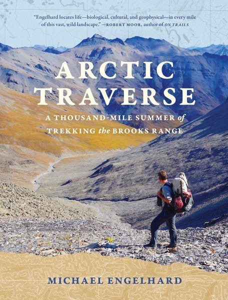 Michael Engelhard is the author, most recently, of Arctic Traverse: A Thousand-Mile Summer of Trekking the Brooks Range, the memoir from which this essay has been excerpted. Trained as an anthropologist, he lives on the outskirts of Fairbanks, in a cabin without running water, and has worked for over twenty-five years as an educator and wilderness guide.
 Michael Engelhard
