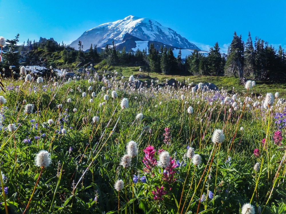
Mount Rainier is a favorite destination for Mountaineers members for activities like wildflower hikes, snow skills practice at Paradise, or a Basic alpine climb in the Tatoosh Range. But park entrances and roads can get quite congested, especially on sunny summer weekends. Hours-long waits at the Nisqually entrance near Ashford are common, and finding parking can be the crux of the trip.
In response to increased visitation, the Park is currently looking into strategies to address congestion and protect natural resources. This planning process is called a Visitor Use Management Plan, and they’re specifically looking at the Nisqually-to-Paradise corridor. This popular access point is located on the west side of the park and includes the Nisqually Entrance near Ashford, to Longmire and Cougar Rock, all the way up to Paradise. The plan will establish strategies to manage increased visitation while also protecting the park’s magnificent natural landscapes.
Key Issues and Goals
Like many national parks and public lands, Mount Rainier grows in popularity each year. The park experienced a 30% increase in visitation between 2008 and 2018, and 70% of annual visitation occurs between July and September. The management plan seeks to address a number of current issues, including traffic congestion leading up to the park entrances and on the Nisqually and Paradise Roads, congestion in parking lots, quality of the visitor experience, damage to subalpine meadows, and protection of culturally significant park features like roads, trails, and bridges.
The Park has several goals for this plan, including:
- Reduce roadway congestion and improve the visitor experience.
- Disperse visitors throughout the many destinations in the park.
- Provide trip planning and crowding condition information to visitors.
- Enable visitors to easily navigate and find parking in the corridor.
- Restore and maintain trails and meadows to desired conditions.
- Preserve and interpret culturally significant park features.
Last summer, the Park asked for feedback on visitor’s experiences in the Nisqually-to-Paradise corridor and what potential solutions they should consider. We shared this opportunity with our community and provided comments on behalf of The Mountaineers. After considering the feedback they received, the Park has developed a number of potential management strategies.
Potential Strategies
The Park is seeking feedback on the following potential strategies to address congestion and protect natural and cultural resources:
- Reservations and Timed Entry: In order to address congestion issues, the Park is considering timed entry systems for corridors like Nisqually to Paradise, as well as parking lot reservations for specific areas like Paradise or specific lots.
- Trip Planning: The park would like to improve visitor information outside the park, as well as improve trip planning information through the park website and app, social media, and a media press campaign.
- Winter Use: Winter use of the park has increased in recent years, so the park is considering adding an additional gate at Cougar Rock to allow access between Longmire and Cougar Rock on days when the road to Paradise does not open, as well as expanding the camping season at Cougar Rock.
- Paradise: The Paradise area is understandably popular, and parking can be challenging. The park may look at improving trails and directional signage throughout the Paradise area, formally converting parts of the Paradise picnic area to day-use parking, and designating some parking areas as day-use only or overnight use only.
- Cougar Rock Picnic Area: While parking is often full at Paradise, there are often unoccupied parking spaces in the Cougar Rock Picnic Area Lot. Potential strategies include using this area as trailhead parking for the Wonderland Trail, redesigning the picnic area to serve as remote parking for a potential shuttle, and redesigning a portion of the lot to provide additional campsites.
- Westside Road: Vehicle access on this road has been restricted due to flood damage, but if more road sections could safely be open to vehicle traffic, there could be a potential for road-based tours of the area.
- Shuttle Ideas: Shuttles may be a way to help visitors move around the Paradise area without relying on personal vehicles. One proposed option is a Cougar Rock to Paradise shuttle, and another idea is to run two Paradise loops between the upper lot, lower lot, and Paradise Picnic Area.
Learn more about these ideas in the park’s story map.
What Do You Think?
Mount Rainier National Park invites you to submit your comments, questions, and feedback on these proposed strategies on the project website through September 14. We strongly encourage Mountaineers to comment and share how you use the park, and how your visits might be affected by these proposed changes. We also encourage you to share any other ideas and solutions you might have that aren’t included in the park’s list. Like all public lands, Mount Rainier National Park is your park, so please speak up!
 The Mountaineers