It seemed important two years ago to better know Seattle’s Central District (CD). After leading more than 50 Urban Night Walks (then known as “Night Hikes”) on Seattle Stairway Walks (2013) routes, a keener feel for the CD was in order. Nothing beats walking a neighborhood and soaking in the casual interactions with people and places. Active navigation with many turns sharpens attention to landmarks and the shape of the land.
The CD has been an important neighborhood for my family. Both our Seattle granddaughters are persons of color, and their mother grew up in the CD, a proud Garfield High School and UW graduate. Their grandmother still lives in the family home, and their great-grandfather was a Tuskegee Airman, a Red Tail pilot in WWII. We decided to lead weekly transects of Seattle’s Central District to trace the outlines of the redlined neighborhood and better understand our family history.
A trial Gaia route showed that a 27-mile CD perimeter walk was too much for an evening. The solution was four back-and-forth routes, one a week, with the first near Madison Avenue and the last south of I-90. Our primary reference was a terrific UW civil rights resource—an academic study of “redlining” to maintain Seattle’s racial, ethnic, and religious segregation.
The walks garnered enough interest that they had waitlists in 2021 and 2022. Sometimes a CD resident joined us—including Jimmy Hendrix’s classmate one night. Folks would ask us if we were protest marching. One guy leaned out the window of his car wondering about a head-lamped group of older white folks walking through his neighborhood after 8pm. He took our photo on the church steps so his friend would believe his story about the group and the location.
In this sixth winter of leading night walks, I continue to instruct Wilderness Navigation but now also teach On-Trail Navigation. The learning problems are the same: most students achieve new competencies, but soon after the class ends many of the procedural skills (e.g. compass to map bearings) begin to erode as participants follow the leader on activities instead of navigating their own route. On city night walks, participants follow and take care crossing streets. Sometimes they are as captivated by the stars as they are by sunsets and city lights. But they’re not navigating, they’re following the leader and staying in front of the sweep.
We’re doing it differently this year. The urban night walks are now not-so-subtle attempts to grow navigation skills and combat their decay. I attach gpx route files to the Hello Walker letter, inviting them to download and study the route. A few print their own maps. At the expense of a 4 to 6-mile walk lasting a little longer, the urban walk experience is changing.
Everyone is issued an 8.5 by 11, black and white GaiaGPS route map optimized for the walk. Symbols are sparse but sufficient for helping answer the question, “What do you expect to see on your route?” I trace my map route with a highlighter or Sharpie – quick, cheap and visible. Sometimes I outline the participant routes, too.
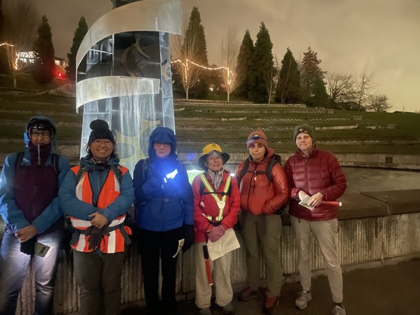
 Seattle Urban Night Walkers reflect on civil rights leader Martin Luther King's legacy at the memorial park, 2200 Martin Luther King Jr Way S.
We review the route at the meet-up, a central part of the briefing. Walkers, with their finger on map, are asked to answer the Mountaineers Five Questions to Remember, soon to be enshrined in next year’s Freedom of the Hills, 10th edition.
- Where am I? [Meet-up/finish location.]
- What is my destination (target)? [Usually a major turning or civic structure.]
- What route will I take? [Answers vary but we review my intended route.]
- How long will it take? [Posting states about 2mph and there’s a scale.]
- What do I expect to see along the way? [Elevation gain/loss? School? Hospital?]
In our Navigation field trips we frequently repeat the 1-2-3-4-5. In the city there could be 8 directions changes (turns) in 20 minutes. For the first several turns I ask them, “Which way?” They confer and announce. We turn. The key is to keep sending them back to the route on the map in hand.
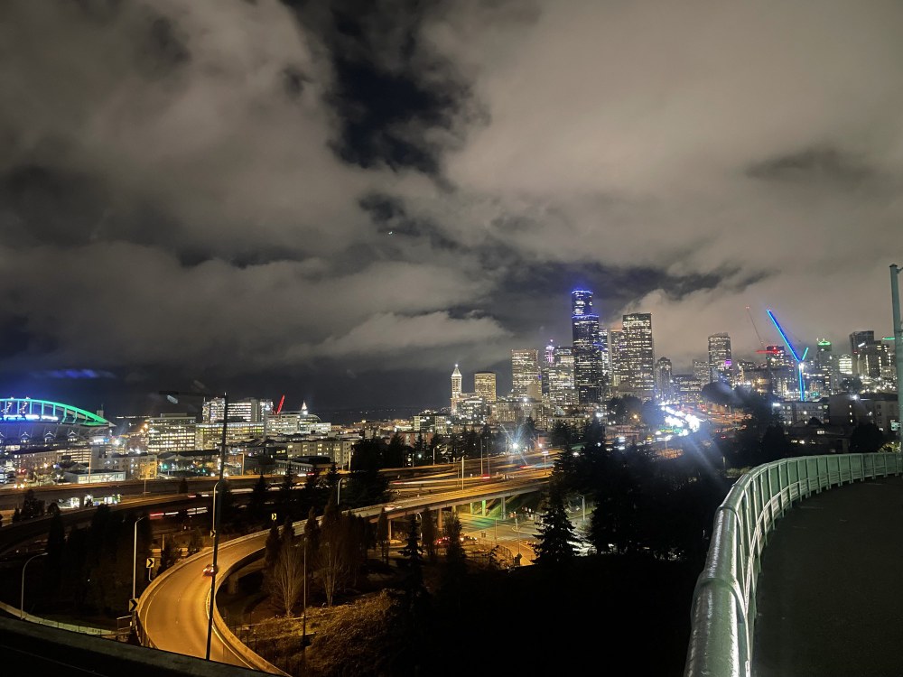
Sometimes we stop for a view, plant identification, photo or conversation—a good time to consult the map and think about distance already travelled. Sharper navigation skills compel us to listen for the stories the land can tell us. Smaller homes inside the redlines speak to less favorable mortgages and greater obstacles to building generational wealth.
Terrain and feature reading remain paramount skills, and just like in the wilderness, our urban streets have their own navigational markers to guide us. The Black ancestors of Central District residents relied on more natural navigational cues, like the "drinking gourd," also known as the North Star. Our North Stars are sometimes telecom towers, other times an illuminated church steeple or Beacon Hill’s Art Deco Pacific Tower. Where are we in relation to them? Were they central to redlined folks? Are we at the bottom of a drainage and where does the water go?
Seattle is rich in topographic variety, plants, culture, and views. By improving our navigation literacy and practice, we can celebrate that richness while we come closer to understanding the history of our city.
Add a comment
Log in to add comments.I can highly recommend this series. Wonderful history and lovely walks with great views (yes, even at night!) Thanks, Peter!
 Peter Hendrickson