The Teely Creek trail has much to offer hikers: fishing, camping, swimming, geocaching, and a relaxing atmosphere amidst an old growth forest. Read on to learn more about this incredible area, and how you can make the most of your trip if you decide to explore the trail.
Gain: 2206 feet if going up to Cora Lake, 800 feet to Granite Lake
Length: 11 miles roundtrip if going to Cora Lake (connecting with the Big Creek Trail #252); 8.6 miles roundtrip if going to Granite Lake
Pass/Entry Fee: Northwest Forest Pass
Note: Mountain biking trail and no motorized use (Mar 1-Jun 30)
Bring: 10 Essentials, swim gear, bug spray
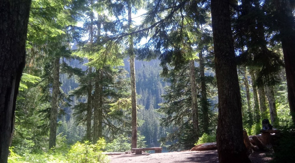
The Teely Creek trail begins on Forest Service Road 8410, trail #251, and descends through a lush conifer forest filled with old growth Douglas firs, vine maples, mountain hemlock, and many different wildflowers. The trail is a bit overgrown in several spots but easy to manage on the way to Pothole Lake (also known as Bertha May Lake).
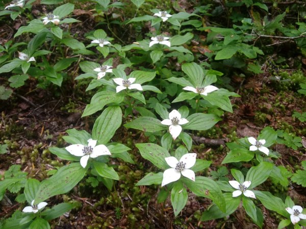
 Bunchberry. Photo by Regina Robinson.
At just about a quarter of a mile, drop down to the lake. Sit upon washed-up logs and take in the view. The lake is a chocolate brownish green, with abundant fish. From here the trail heads south, skirting the lake. After crossing over the stream on a broken wooden bridge, the trail ascends and quickly connects with the Osborne Mountain trail #250.
If you aren’t paying attention to your surroundings this intersection is easy to miss, especially when one is in the groove of going uphill. The Osborne Mountain Trail continues its uphill journey; however, to head towards the lakes make the sharp left, heading south towards Upper Bertha May Lake at just about 2 miles.
Bertha May Lake is a prime fishing location, as the edges are filled with downed trees to create the perfect habitat for fish. The waters are crystal clear and cool, making this stop a delightful place for a snack break. Continue east on the trail as it follows the lake, offering you brief glimpses of the water through the trees. Head past the lake and continue on the wide soft path towards Granite Lake, which is just under three fourths of mile past Bertha May Lake.
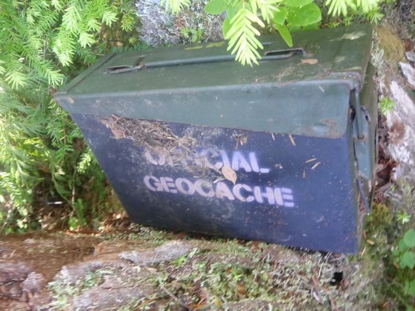
At 4 miles reach the sparkling turquoise Granite Lake with its soft white sandy beach, absolutely perfect for swimming. The group stopped and had another snack break while three of us set about locating a geocache that was up on a short rise just north of the lake. We scoured the dense underbrush searching for a green army box filled with treasures. After crawling through trees, shrubs, and vines, the cache was located within two feet of the actual GPS location. We were delighted that it had been found.
 The found geocache. Photo by Regina Robinson.
After Dan Lipp had signed our names and date, he returned the geocache to its hidden spot beneath the stump. We then gathered up our fellow hikers and continued south on the trail heading up to Cora Lake. Just past Granite Lake the trail begins a short, steep climb up to a ridge. At the crest of the ridge the trail quickly descends through a forest filled with pinesap, sidebells, devils club, salmonberry, bunchberry, and more. As we descended lower into the valley the trail began to become more overgrown, the devils club and salmonberry encroaching on the trail.
At close to the 6-mile mark we began to climb back uphill. Here, I suggested we split our hiking party, as one member of our party was completely unused to both the heat and the elevation gain. I suggested that the four stronger hikers continue their hike to Cora Lake, while I hiked the other member back to Granite Lake. We reached the lake just before 2:30pm. She and I ate another “lunch” and decided that we’d go for a much-deserved swim.
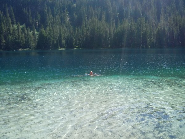
Granite Lake was absolutely amazing, with soft white sand that’s nearly unheard of in alpine lakes. That paired with its cold clear water made swimming in this alpine lake a treat. And having this lake all to ourselves was absolutely magnificent.
 Regina enjoying Granite Lake. Photo courtesy of Regina Robinson.
My hiking partner and I had the place to ourselves for an hour before the rest of our party arrived. Hands down, we all agreed that this alpine lake was the favorite swimming spot among all of us. We lounged, swam, and dunked our toes for another hour and half before deciding it was time for dinner.
The hike back to the car wasn’t too hard on the knees, though few places were soft and sandy making your footing a little tricky - but it is nothing that being slow and patient couldn’t fix. On the way we stopped to admire the last views of Mt. Rainier before arriving at the parking lot. Overall the Teely Creek Trail was pretty amazing, making for an easy and relaxing day.
Directions: From Elbe, drive HWY 706 East for 10 miles, turn south onto Skate Creek Road (FS Road 52) and drive for about 5 miles. Make a right onto Forest Service Road 84 and drive for about 1.5 miles before turning right onto FS road 8410. Stay on 8410 for 3.5 miles to the signed trailhead.
 Regina Robinson