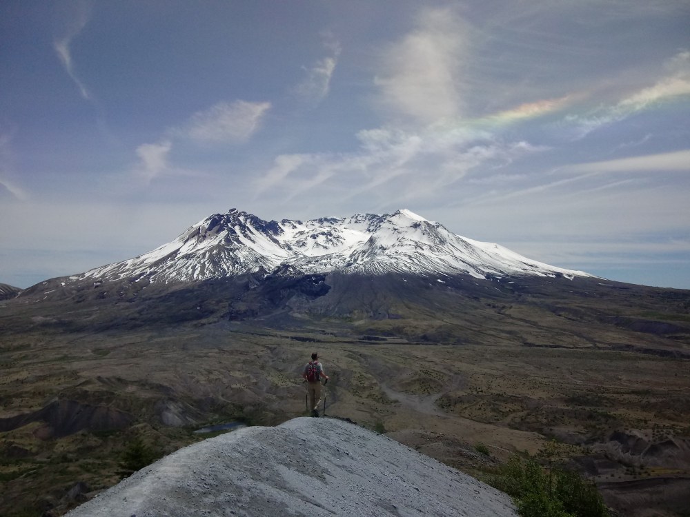
Harry’s Ridge and the Devils Point at Mount St. Helens are two hikes with jaw dropping views accessible out of the Johnston Ridge Observatory, named after David Alexander Johnston the volcanologist who was killed in the 1980 eruption. Visiting is both a monument to destruction and death and renewal and rebirth.
David, along with his colleagues, saved thousands of lives by convincing authorities that Mount St. Helens was unsafe for tourists and homeowners alike, forcing the area to be closed despite repeated actions to reopen the area. Johnston Ridge, the Toutle river valley, and the Cowlitz river valley, along with the Windy Ridge, were all popular with recreationists, and they took a beating when the lateral blast blew out the side of Mount St. Helens. David's research and work largely protected the public from harm on that fateful day.
Harry’s Ridge and Devils Point trails are often overlooked at the Johnston Ridge Observatory, as many folks are taking in the movies, exhibits, and hands on activities inside. If you have time after your hikes, certainly take in the theater presentation and interpretive exhibits at the visitor’s center.
Driving Directions
From Castle Rock, proceed 52.2 miles to the end of Hwy 504 at Johnston Ridge Observatory. At 42.6 miles, the road forks -- take the right fork (heading initially downhill) and proceed a further 8.8 miles to your destination. There is ample parking here, as it is a popular tourist destination, but not many visitors venture beyond the center and the paved trail.
Additional Resources & Consdierations
Parking Pass/Entry Fee: National Monument Fee Open daily from 10am-6pm. Admission $8 for adults, children 15 and younger are free. A federal America the Beautiful Pass, such as a Senior Pass, is accepted for admission.
- Current Conditions
- Cascades Volcano Observatory Weekly Update
- Mt St Helen's National Volcanic Monument Map
Harry's Ridge
Harry’s Ridge is named after Harry Randall Truman, who refused to leave his lodge and home at Spirit Lake. The former prohibition bootlegger once said, that “If the mountain goes, I’m going with it.” Sadly, Truman became true to his word on May 18, 1980. He and his beloved cats are now buried under several hundred feet of volcanic debris.
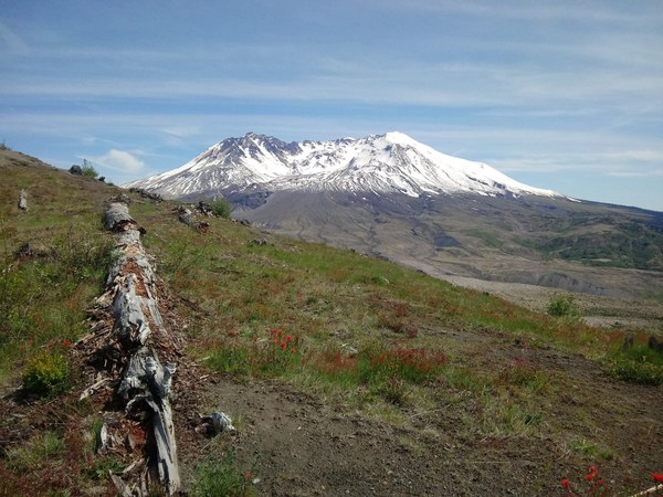
The hike today to Harry's Ridge offers excellent views of the blast zone of Mount Saint Helens eruption and her fiery past. From Harry’s Ridge you can see the blast pattern from the eruption heading up and over Harry’s Ridge deep into the Mt. Margret backcountry. If you haven’t visited the often overlooked Windy Ridge side of St. Helens- it is a must see.
Views from Harry’s Ridge are amazing even on a cloudy day. Native American’s legend states that two brothers, Wy’east and Klikitat, were in love with the fiery maiden Loowit, who could not choose between them. This caused the brothers to fight over her. The brothers fighting caused the land bridge, the Bridge of the Gods, over the Columbia River to collapse. The god Sahale was angered to the point that he turned the lovers into mountains. That's why today Klikitat (Mt. Adams) bows his head towards his love Loowit (Mount St. Helens), as Wy’east (Mt. Hood) stands majestic and looking toward Loowit, who stood dressed all in white.
Today the view of Loowit is much different.
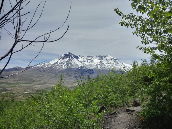
The Hike
Leaving the visitors center take the path uphill across from the entrance doors as it zigzags up the hill to another view point of St. Helens. Don’t forget to stop and read the informative plaques telling the story of Loowit’s past, present, and future outlook.
From the viewpoint drop down to the Boundary Trail 1 for approximately 3.2 miles, then connect to trail numbered 208 which leads up to the junction, left follows the Boundary Trail #1 up to the Mount Margaret backcountry, the spur trail goes right uphill on 1E, is a .08 mile spur trail off the Boundary Trail #1 that leads to an old monitoring station with the outstanding views of Spirit Lake and Mount St. Helens and surrounding volcanoes. It is one of the most popular day hikes in the area and it can often be crowded and very hot in the midday summer sun. So come prepared to enjoy this well loved trail from Johnston Ridge Observatory.
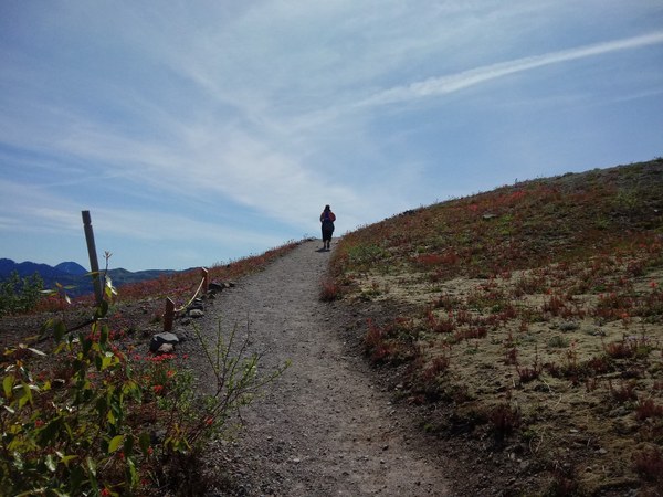
Hiker on Boundary 1 trail l Photo by Regina Robinson.
The trip is approximately 8 miles depending on if you add in any additional exploration.
Things to remember
Harry’s Ridge trail is exposed to the weather and elements. In the summer sun it is hot and dry with no water and very little shade. Come prepared for full exposure to the elements as trees are few and far between. I recommend at least 3 liters of water, hats, sunglasses and sunscreen. I brought 3 liters and drank it all, most of the folks we met on the trail had little to no water left and they were still 2 ½ miles from the visitors center.
If you feel you are becoming overheated and exhausted you may be experiencing heat stroke or heat exhaustion. Learn how to take precautions to prevent heat related illnesses.
Devils Point
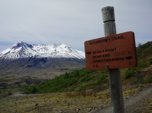
On our way back from Harry’s Ridge viewpoint we detoured ½ miles roundtrip to the Devils Point. Devils Point is the terminus of what used to be the Devil’s Elbow trail which closed in 2016, but you can see the rocky remains skirting the backside of the new boundary ridge trail. From the Devil’s Elbow you can get a much closer view of the majestic Loowit.
- Length 8.2 miles, roundtrip
- Elevation Gain: 970 ft.
- Highest Point: 4752 ft.
- Difficulty level: moderate
- Amenities: restrooms and potable water at the visitor’s center
- Pets: No
 Regina Robinson