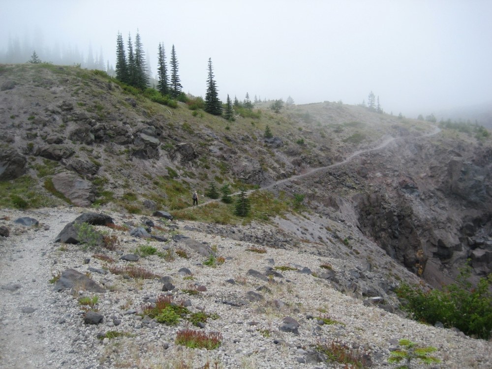
Our hike this month takes us to Mt. St. Helens’ Ape Canyon trail. The trail takes its name from Sasquatch sightings back in the early 1920s. Not only is the trail rich in local folklore and legend, but geological history as well. Hiking up to the Loowit trail you can view the geological history of Mt. St. Helens. The hike follows an ancient lahar debris flow on one side of the ridge and the Ape Canyon on the other side, and views of both can be glimpsed through the trees.
- Length: 15 miles roundtrip (from the parking lot it is about 5.5 miles to the Loowit trail junction) where we extended our hiking.
- Gain: 1550 ft
- Highest point: 2800 ft
- Pass/parking fee: Northwest Forest Pass
- Pets: No
- Shared trail: Mountain bike trail
- Bring: Water, camera, 10 Essentials, blue bags (consider carrying out waste up on the Loowit trail as the area is a delicate ecosystem trying to rebuild itself)
According to USGS, Ape Canyon’s volcanic stage ranged from 300-35 ka, (ka is short for kilo-annum, meaning thousands of years). During this stage the lava domes erupted westward in two periods. The first eruptive period occurred 300-250 ka; the second eruption occurred 125 to 35 ka. You can clearly see the ash layers closer towards the Loowit trail. During the Ape Canyon period, rocks were altered hydrothermally, meaning that the ground water was super heated, helping to create the many lava domes. Butte Camp (covered in a previous issue of “Did You Know”) is an exposed lava dome formed during this Ape Canyon Period.
 The Profile of Mount St. Helens through Time
The Ape Canyon trail is amazing even in the fog and rain. It is a trail shared with mountain bikers. We met one biking group from Japan, some gentlemen from Portland, and another group from Seattle. All the riders were paying attention to the trail, kind, and easy going. A couple of them were happy to stop, chat, and share a snack. Kudos to the 8-year-old boy out with his dad - little dude, you rock!
For the first mile the trail is a gentle climb through young trees, ferns, mushrooms, and wildflowers. The trail parallels the Muddy River lahar flow. In several spots the lahar debris flow can be viewed. Even on this foggy day we stopped at every view point. The views become better the higher you climb. Even in the fog and rain, when the clouds parted, the views were stunning.
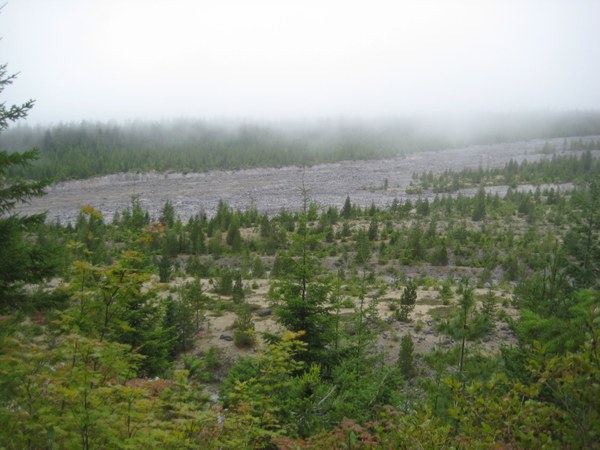 View of the Muddy River lahar | All photos by Regina Robinson
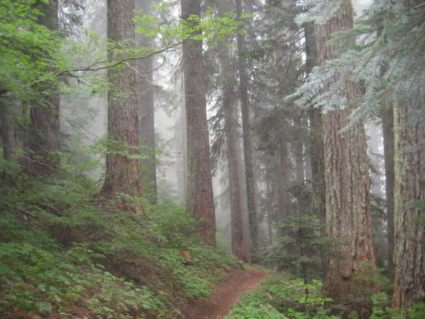
Climbing up over the first hill, you start to ascend into an old growth forest that is dense and lush. There are several notable trees that are wide and strong. Definitely worthy of a hug and a thank you for being here! These mighty sentinels have stories to tell.
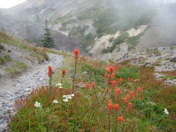
At about the 2-mile mark you begin climbing steadily. After three miles you reach a shoulder and traverse a wise area where a camp spot is available (no water though). Here, views open up and you are able to see over Ape Canyon. At the 4-mile mark the views open up and wildflowers increase. At the 5-mile mark the views even in the fog are stunning.
At roughly the 5.2 mile mark the trail becomes steep and precarious. Be cautious, and if you have a fear of heights, I suggest keeping as far left as possible. In several spots there are washouts and a false move will send you head-first down the trail.
When the Ape Canyon trail and the Loowit trail meet there is a wide sandy spot. This is a great place to stop, have snack, and take in the views. We chatted with the Forest Service volunteers who were replacing the trail signs for the Loowit and Ape Canyon trails.
We were hoping for views of Mt. St. Helens like we had when we hiked Butte Camp; however, it was not to be. Washington’s mountains are great for creating their own weather systems. Instead of below we enjoyed the cool gray fog.
Butte Camp hike view: 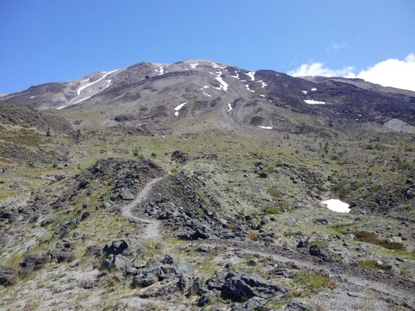
The view we got instead: 
At the junction you have options to extend your trip. Going left with take you to June Lake (#216B) in about 8 miles. You can also turn right and head towards the Plains of Abraham on trail #216D. After chatting with the Forest Service volunteers, we chose to go right towards the Plains of Abraham to extend our trip while the weather held. Hike across pumice and cinder from Mt. St. Helens’ explosive past. Boulders of solidified lava are frequent and warrant inspection.
The name “Plains of Abraham” comes from Mt. St. Helens’ May 1980 pyroclastic flow. Many folks think this area would be devoid of life, but many flowers were blooming in this barren environment. We hiked for another two miles. Ultimately the weather was the deciding factor in us turning around early and heading to back to the car.
This area certainly deserves more exploration; I cannot wait to get back!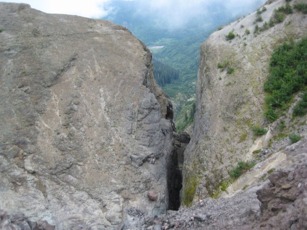
When my hiking partners and I got back to the car we decided to head over to Lava Canyon for the short hike down to the falls. Lava Canyon is right next to the Ape Canyon trail so it is a doable second hike.
Directions
From Woodland WA, take Lewis River Road (SR 503) east for 32 miles. Continue east on FR 90 for 3.2 miles, then veer left on FR 83 and proceed 11.2 miles to the trailhead.
From Cougar WA take Lewis River Road east for 2.8 miles. The road then changes to Forest Road 90. Continue on Forest Road 90 to Forest Road 83, approximately 4 miles, and turn left. Drive along Forest Road 83 for 8.4 miles to the Ape Canyon Trailhead. The trailhead is on the left just before the end of the road at the Lava Canyon Trailhead.
- Fees: Forest Service pass
- Facilities: Composting toilet. No water.
- Located: At the end of Forest Service Road 83
Lava Canyon Trail #184 features a paved trail to the waterfall. The suspension bridge is closed due to cable damage; if you want, you can hike to the closed suspension bridge, continue across the upper bridge, cross over some rocks, then climb down a 30-ft metal staircase, continue down a slick rock face (it is extremely steep, often wet and slick), and pass next to a looming rock wall. Just past the wall is the bridge.
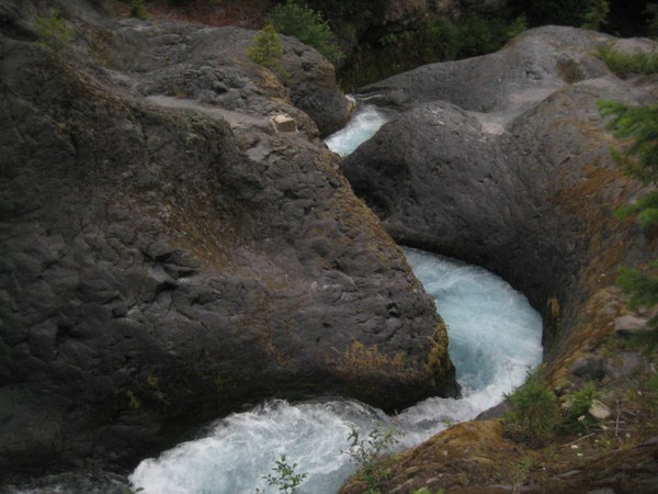 VIEWS OF THE MUDDY RIVER AND LAVA CANYON FROM THE BRIDGE.
Before Mt. St. Helens’ explosive eruption in May 1980, the canyon lay obscured by dense forests. During the eruption a pyroclastic flow of hot gas, ash, and pumice sheared off 30 feet of the Shoestring glacier, causing a thick muddy slurry to surge down the sides of Mt. St. Helens. This slurry ran down the Muddy River drainage. This wall of mud and rock 15 feet high swept through the canyon, exposing what we see today.
 Regina Robinson