Trip Report
WS - Almost Maiden Peak East via Deer Ridge
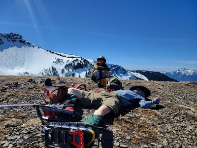
An unexpectedly gorgeous (yet very warm ;) outing with stunning views of Baldy, Gray Wolf Ridge, Walkinshaw and the Strait of Juan de Fuca. This ~16 mile/~5000’ gain workout had an obvious stopping point (47.93758°N 123.31260°W, just shy of avalanche terrain) where the fine art of ‘snowshoe snoozing’ was honed to perfection. [lead photo by Leaf Petersen].
- Sat, Apr 29, 2023
- Winter Scramble - Deer Park to Maiden Peak
- Deer Ridge
- Scrambling
- Successful
-

- Road suitable for all vehicles
-
Negligible snow on the Deer Ridge trail (70+°F temperatures!), then snowshoe conditions through Deer Park (laborious even with snowshoes), with similar conditions (alternating with substantial stretches of snow free trail) on the Deer Park - Obstruction Peak trail. Micro-spikes were not used.
We had originally intended this as clockwise loop (Slab Creek trail, along the Gray Wolf River, 3 forks to Deer Park, return via Deer Ridge Trail) to checkout Robert Wood’s Baldy Trail for a future trip. With some greatly appreciated beta (from a Friday evening trail runner) we shifted plans to an ‘out and back’ using the Deer Ridge and Deer Park - Obstruction Peak trails to Maiden Peak.
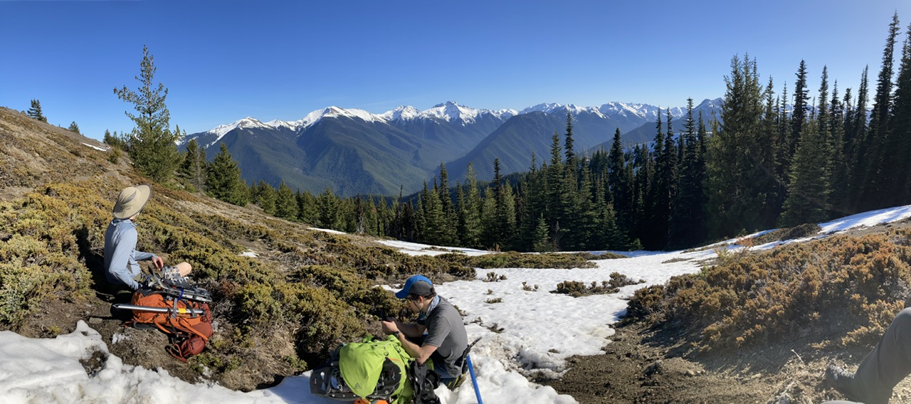
We had some great views along the way…
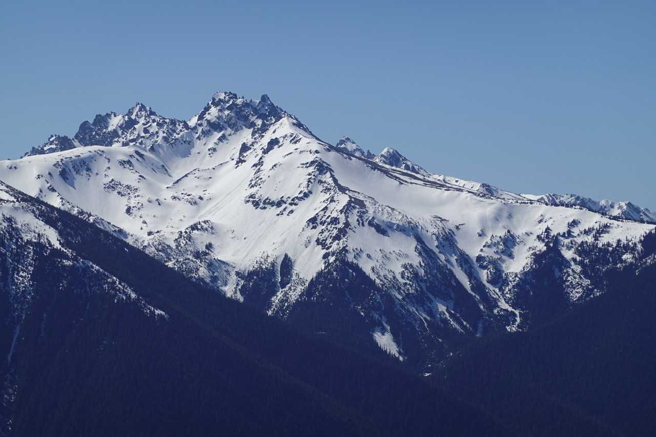 (Mount Walkinshaw by Leaf Petersen)
but due to avalanche concerns….
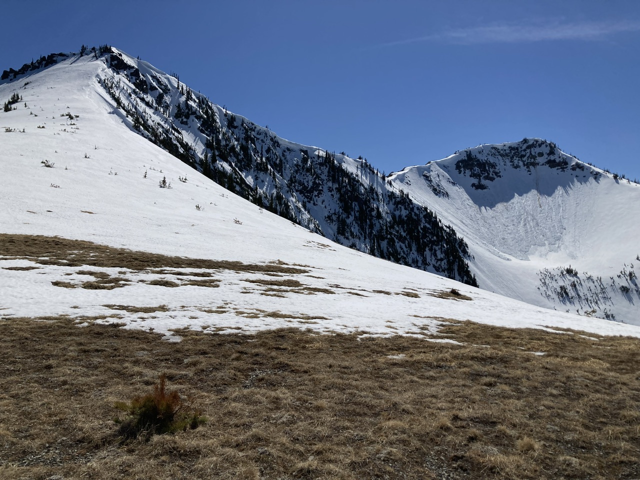
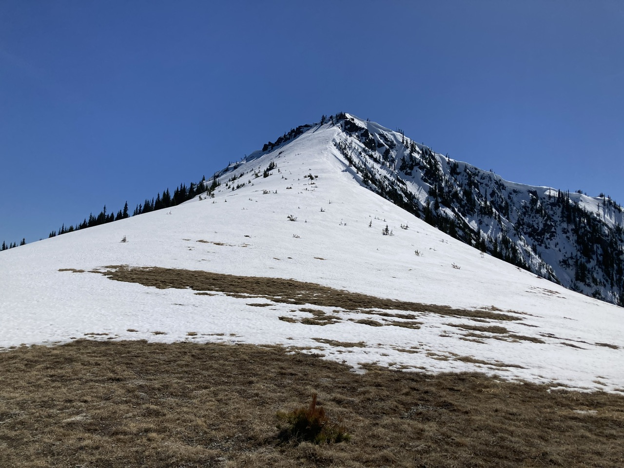
our ‘summit’ was a flat area at 6000’ just north of Maiden Peak East [47.93758°N 123.31260°W]: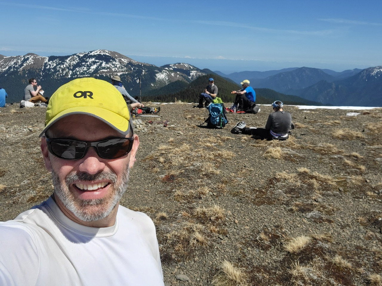 (By Leaf Petersen, Deer Park and Blue Mountain in distance).
A great day in the mountains and a nice ‘shoulder season’ venue (essentially no other parties due to the Deer Park Road being still closed by snow). Including a number of substantial breaks the total time was 11 hours (6 hours on the ascent, 5 hours on the descent) for this ~16 mile/~5000’ gain outing. Trip photos can be seen here.
 Dave Morgan