Trip Report
Winter Scramble - Point 5692
Hard to imagine squeezing more ‘getting away from it all’ plus gorgeous views into 2 days than this immersive outing. The Longmire/Westside Road junction (at the locked gate) provides reliable access as well as ensuring a good workout (~5000’, ~27 miles spread over 2 days).
- Sat, Jan 28, 2023 — Sun, Jan 29, 2023
- Winter Scramble - Point 5692
- Mowich Lake to Westside Road
- Scrambling
- Successful
-

- Road suitable for all vehicles
-
The Saturday schlep up the Westside Road (~10.7 miles to near the Klapatchie Park trailhead) was the most arduous snow conditions on this trip with a significant crust breaking through to softer snow beneath (we donned snowshoes at Dry Falls, the summer ‘end of drivable road’). The Round Pass connector trail was much easier with more consolidated snow overlain by minimal fresh snow. Sunday conditions were much better with very cold temperatures in the teens. Our ascent of Point 5692 had powder snow over a solid base. The exit road walk was much easier/faster due to the low temperatures solidifying the crust, allowing us to walk without breakthrough for substantial portions. A word to the wise, If you’d like to ensure continued use of your water filter(s) in cold temperatures, ensure they are kept above freezing before use (especially when pumping water just above freezing).
The departure on Saturday was gated by obtaining our camping permit at the Longmire Museum which opened at 9am. What with one thing and another it was ~10am before we started walking the Westside Road. Although the forecast was for heavy snow midday, it never really transpired.
We crossed the South Puyallup River bridge at ~2:30pm…
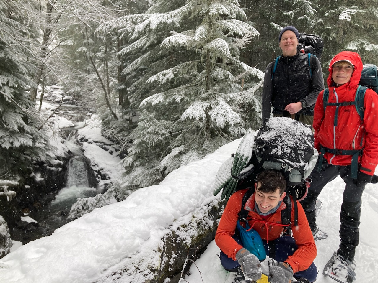
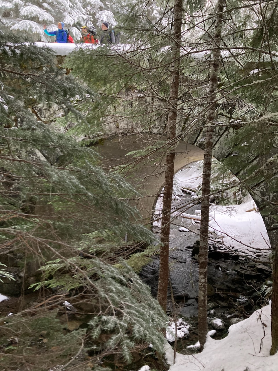
…and the St. Andrews Creek Bridge just after 4pm:
We had originally intended to camp near unnamed lake 4525 (another 1000’ higher), but with sunset imminent we opted to camp in the vicinity of the Patrol Cabin. We greatly enjoyed preparing meals on its snow free porch with solid benches (the ‘not blocked by snow’ outhouse was an added bonus ;).
On Sunday the snow conditions were perfect for our ascent of Point 5692:
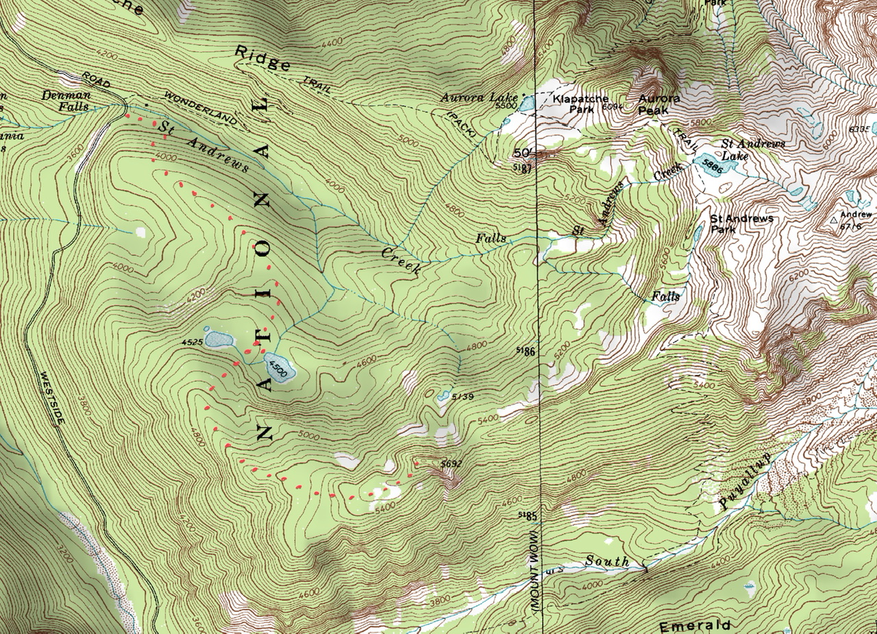
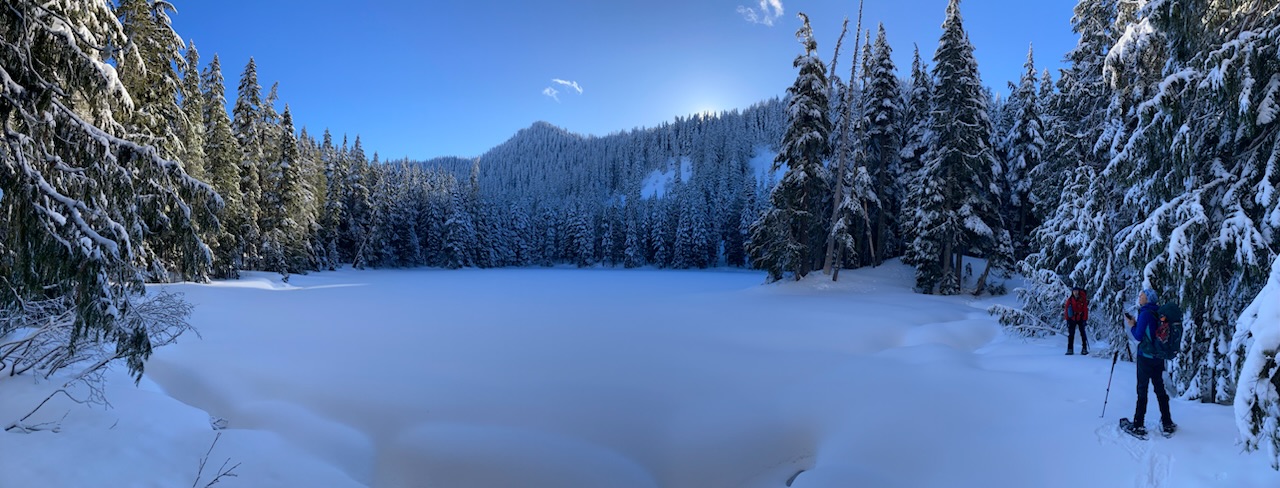
A short time after our morning departure saw us at the west shore of the easternmost unnamed lake 4500 (our objective, Point 5692 is the ridge high point left of the rising sun):
With the fantastic snow conditions we were soon passing through gorgeous open areas W of Point 5692:
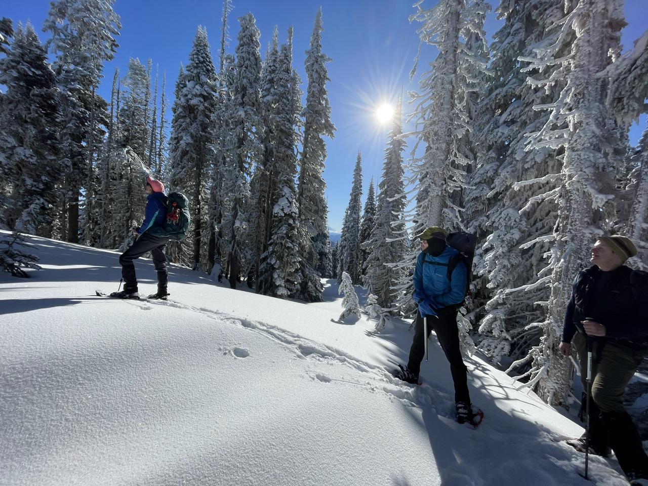 (By Jesse Bengtsson)
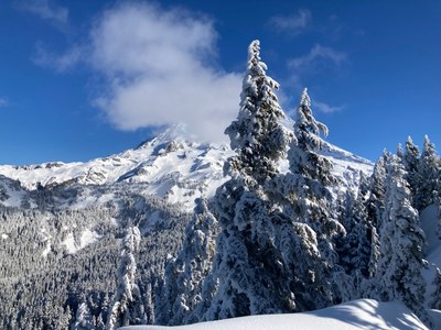
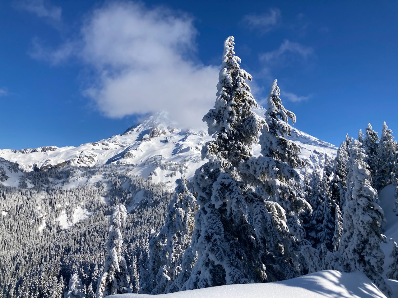
We arrived at the summit area just before noon for great views of Mount Wow…

… a certain 14000’ mountain (note Tokaloo Rock and Tokaloo Spire left of the fir tree)…
… and a potential 3 day winter trip to Aurora Peak (via its forested NW shoulder to avoid avalanche hazards):
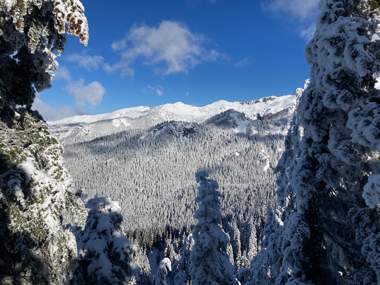
Views of Sunset Park and the Pugetopolis lowlands remind us of the many miles ahead of us…
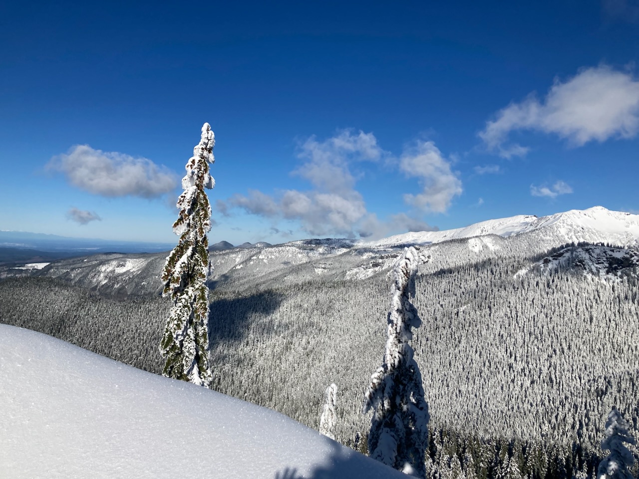
… and sufficiently motivated we started our descent:
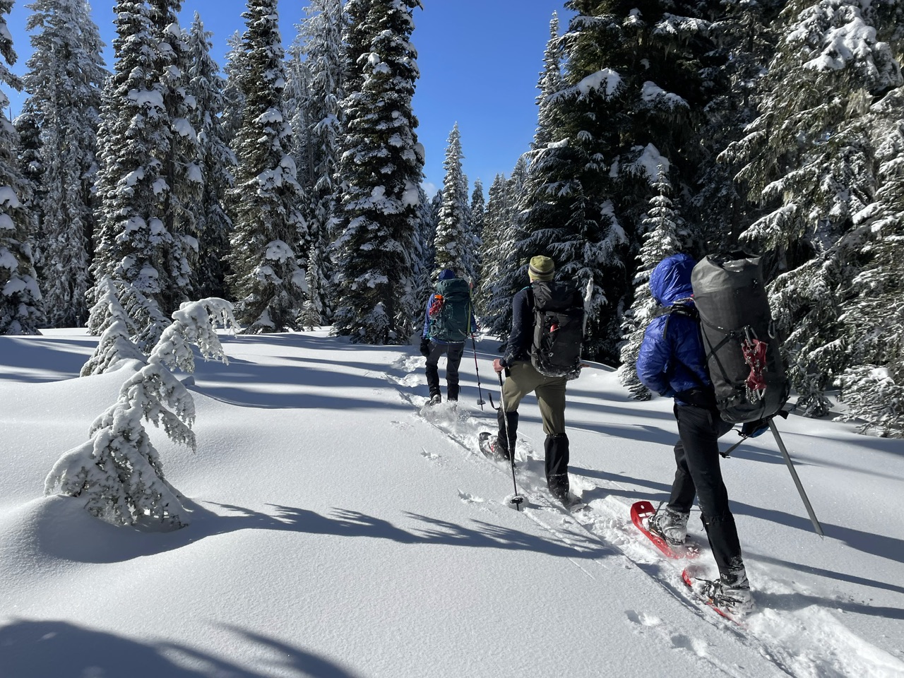 (By Jesse Bengtsson)
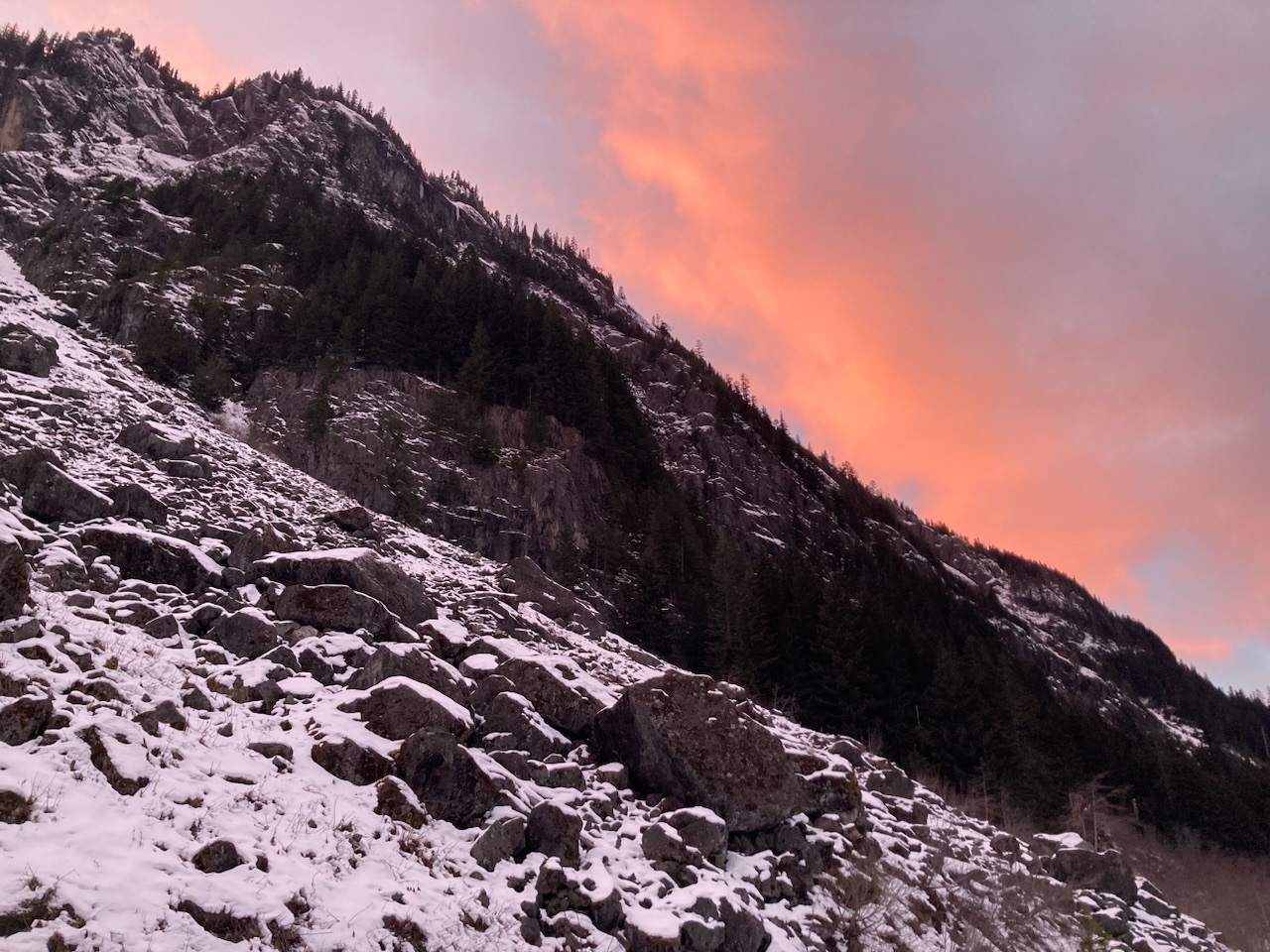
By 2pm were back at our campsites, packed up, and snowshoeing our way homeward. We were treated to a rosy sunset glow above the cliffs of Mount Wow (near Dry Falls) followed by ~1.5 hours of headlamp travel to the cars:
A fantastic trip with almost perfect weather conditions. What with our camping near the Patrol Cabin our ~5,000’ elevation gain was more evenly distributed between the two days (greatly appreciated at the end of the 1st day). This is probably the best way to do this trip, especially if staying an extra night to visit Aurora Peak. It took ~6 hours to reach the Patrol Cabin area on Saturday, ~4.5 hours to travel the same segment on Sunday (with its much better snow conditions/minimal elevation gain), and ~4.5 hours out and back to Point 5692 for a total of 9 hours on Sunday. A great winter venue. Photos from this and other trips in this area can be seen here.
 Dave Morgan