Trip Report
Winter Scramble - Mutton Mountain, Noble Knob
Stunning views on a tempestuous and very strenuous traverse (5000’ gain/15 miles, with an incoming winter storm adding to the drama). Side hill snowshoe travel was complicated by challenging ‘snow over ice’ conditions.
- Sat, Feb 26, 2022
- Winter Scramble - Mutton Mountain
- Mutton Mountain
- Scrambling
- Successful
-

- Road suitable for all vehicles
-
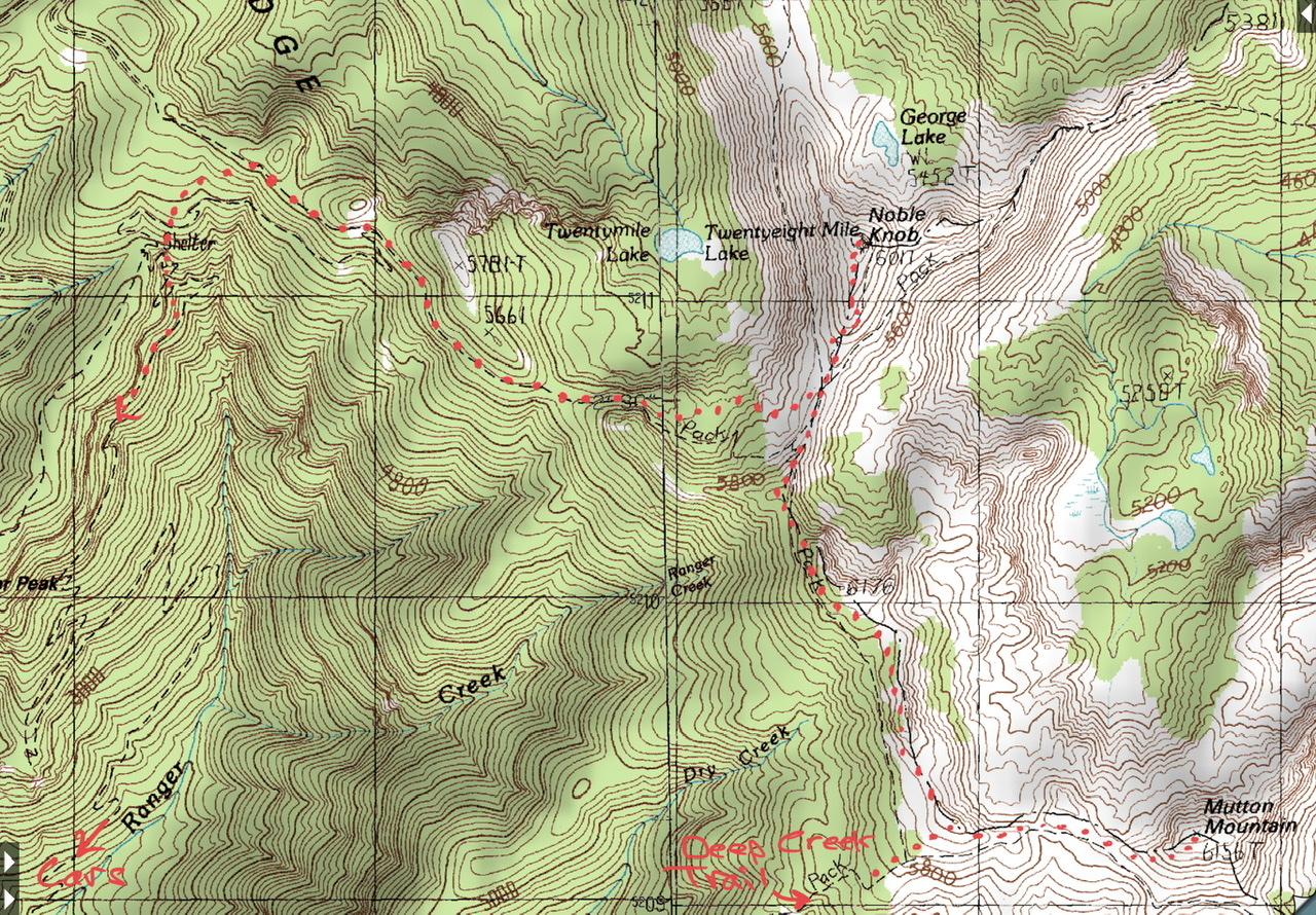
This counter-clockwise traverse used the Deep Creek Trail for ascent, descended via the Ranger Creek Trail, with side trips to Mutton Mountain and Noble Nob (see map). Parties repeating this traverse might want to prepare with an out-and-back trip to Noble Knob via the Ranger Creek Trail (helps with finding the trail at the end of a very long day). Parking near the Ranger Creek Airstrip turnoff was used to facilitate quick access to the cars at day’s end (unfortunately the official parking in this area was blocked by snow pushed aside by snowplowing, yet we were able to find adequate shoulder/wide spot parking to accommodate our party without blocking plows or other traffic).
We brought snowshoes, micro-spikes, and crampons, yet did not end up using the crampons (came close several times). An unusual condition in this area (maybe not so unusual as it was also present on May 8th, 2021 where we used crampons exclusively) is a relatively shallow layer of snow overlaying a very hard layer of ice (difficult to puncture with ice axes, even when using considerable force). The ability of our snowshoe rails/claws to grip this ice were quite variable, such that traversing and/or descending any slope of non-trivial steepness was ‘attention getting’. The steep slope traverse just W of Point 6176 (High Dalles Point) was particularly so, and on future trips it might be better to ascend Point 6176, then follow the ridge crest. We had originally planned to go out and back to/from Noble Knob along the connecting ridge, but due to this condition we opted to follow the ridge crest out to Noble Knob, then return by closely following the trail to the 5450’ pass (see map below). This adjustment allowed us to avoid traversing/descending the very steep slopes on the SW aspect of the ~5800’ ridge SE of the 5450’ pass. This unusual snow/ice condition also caused us to defer our descent to the site of the old shelter. We continued along our traverse altitude of ~5400’ until reaching gentler slopes N/NE of the shelter site. Finally, the trails in the area just below the shelter site are very confused by downed timber/brush, yet we were able to intersect the ~4700’ leg of the trail (and our path home) by heading S/SE from the shelter site using a steep descent that was close to the fall line.
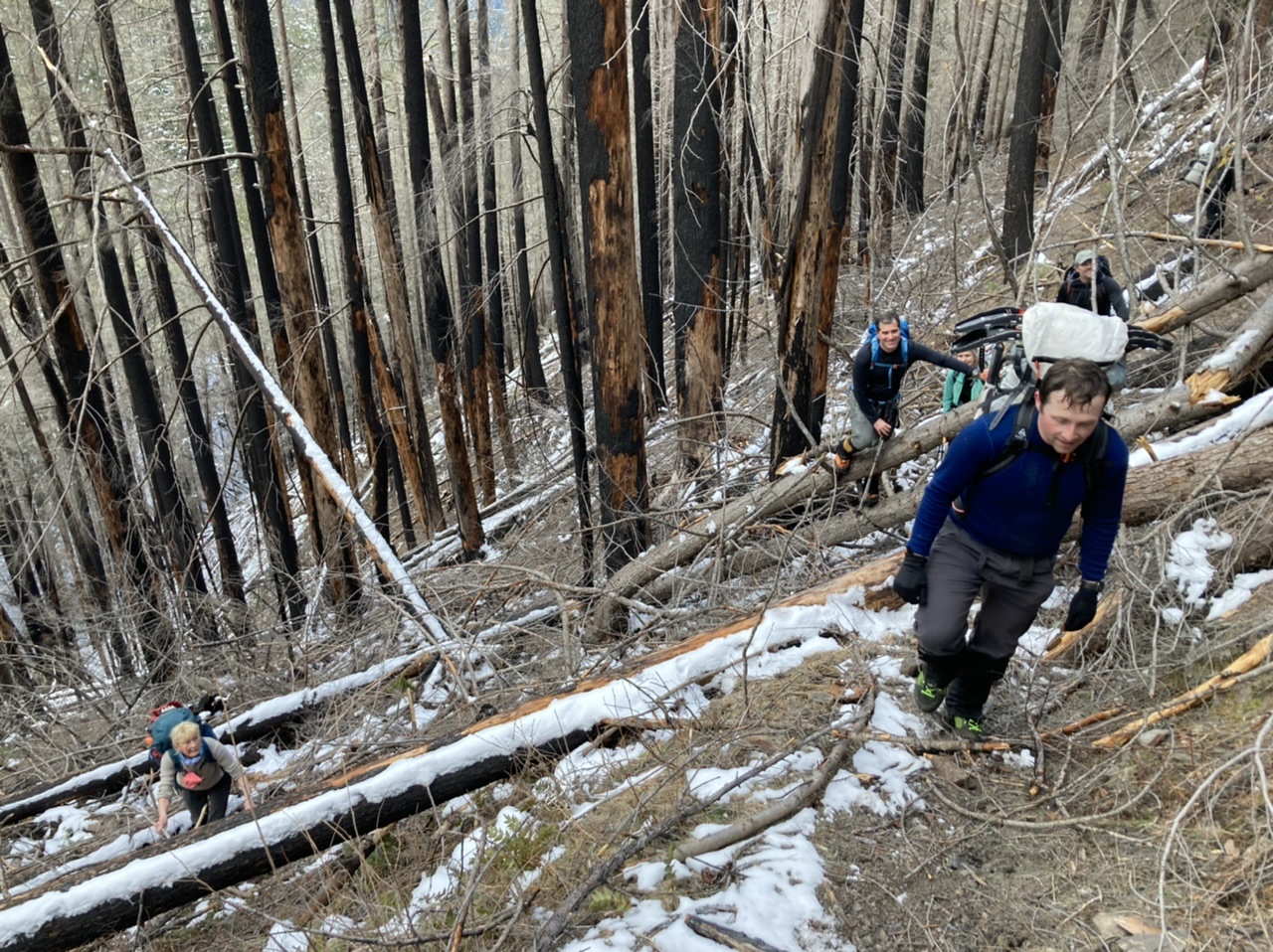
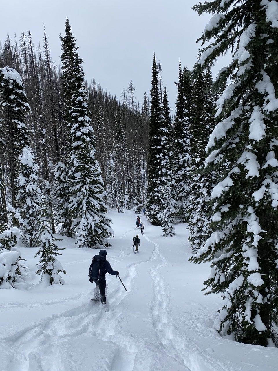
Starting from near the cars and on the lower parts of the Deep Creek Trail there were numerous and substantial amounts of downed timber (probably related to the forest fire as there was much less of it along the mostly non-burned Ranger Creek Trail):
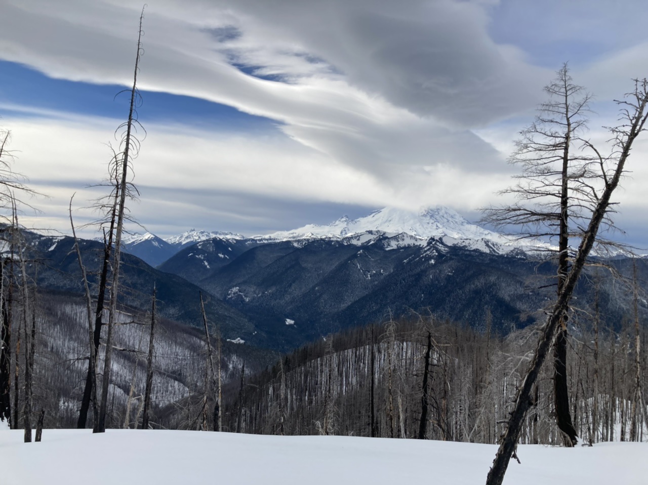
A bit higher and we see signs of the incoming winter storm on the lee side of Mount Rainier:
From the high point at 6040’ we ponder our ‘out and back’ to/from Mutton Mountain:
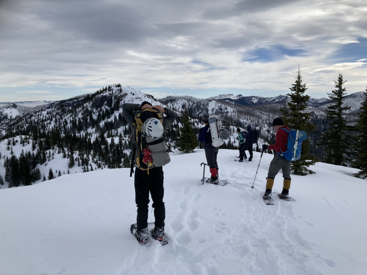
From the summit of Mutton Mountain, our remaining traverse to Noble Knob (far right) with High Dalles Point (Point 6176) in the middle:
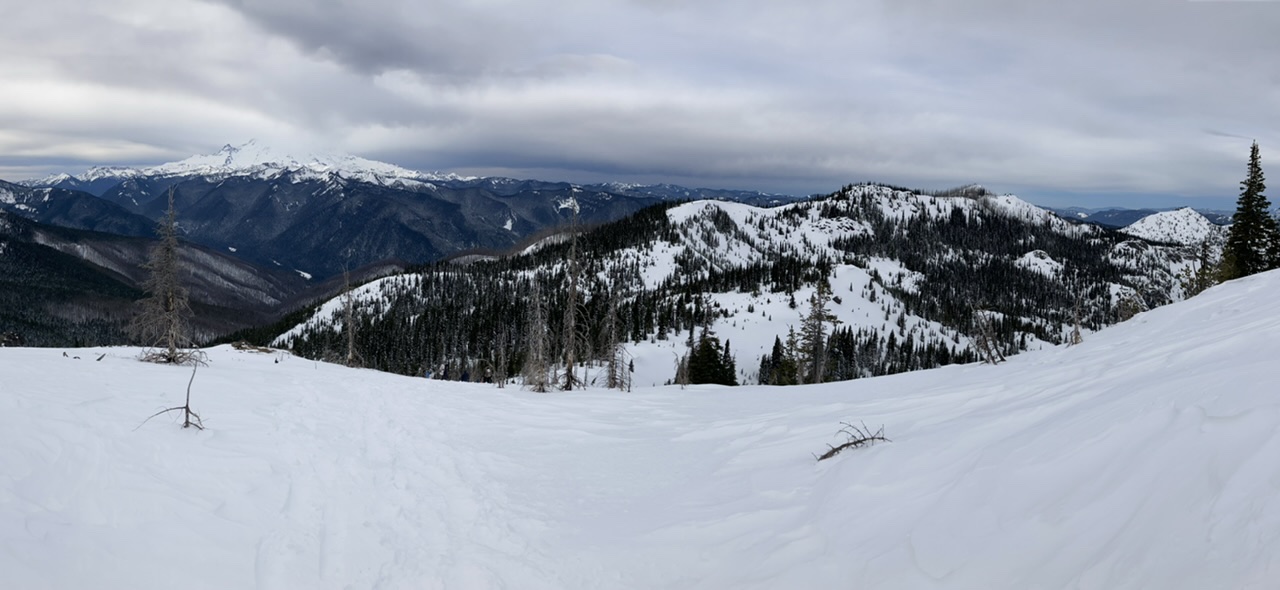
Just before our traverse across the steep W/SW aspect of High Dalles Point (note the shallow snow layer with ice immediately below):
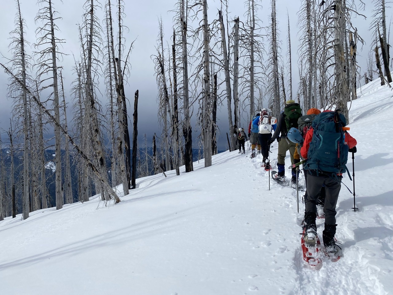 (by Erin Vagely)
Approaching the ridge leading out to Noble Knob:
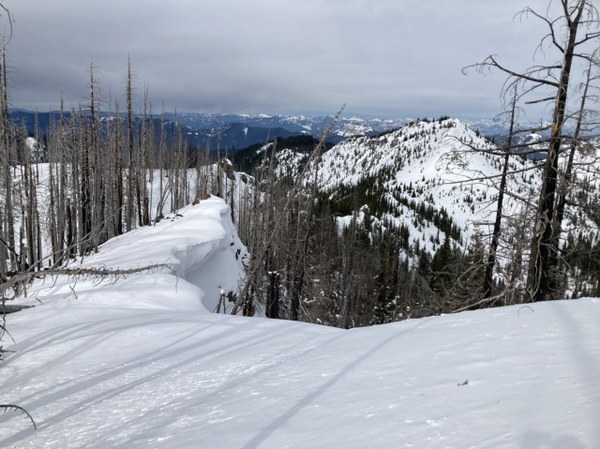
On the ridge crest leading to Noble Knob:
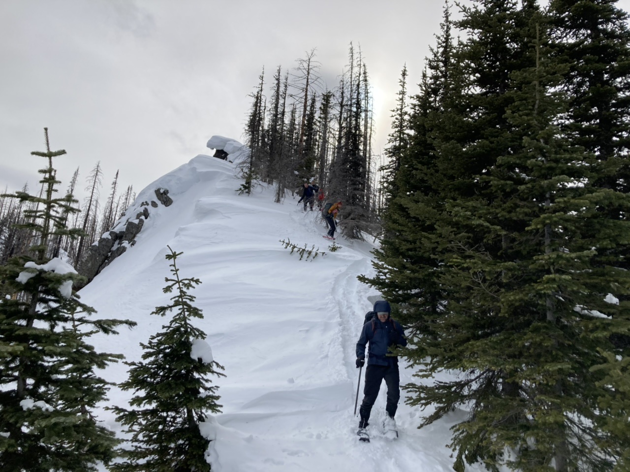
The summit of Noble Knob (a video alluding to the windy conditions can be seen here):
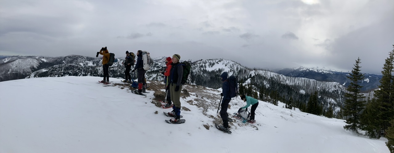
A closer look at the route to/from Noble Knob. We descended the ridge immediately above Erin on our way out to Noble Knob, then traversed at shoulder height (roughly 5400’) to reach the ~5450’ pass (to resume our traverse on its far side):
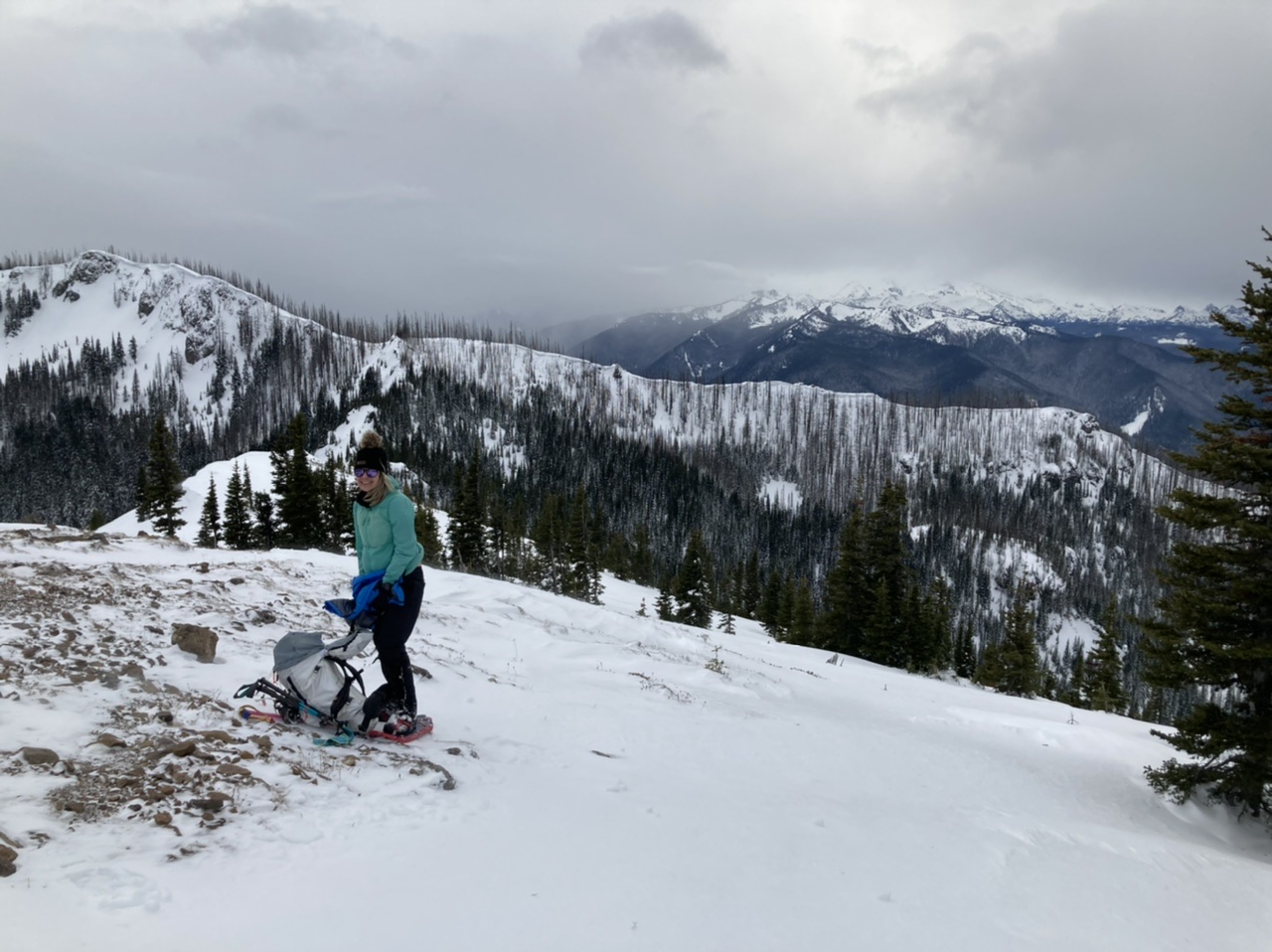
Relatively calm conditions at the low spot just south of Noble Knob:
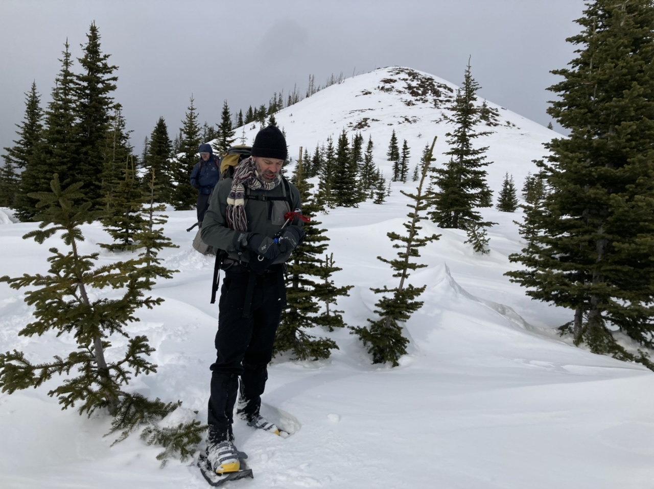
… and a downright balmy spot (no wind at all) on our way to the 5450’ pass:
 (by Erin Vagely)
Following a relatively moderate traverse at ~5500’ (compared to the slopes S/SW of High Dalles Point) we reached the old shelter site at ~5pm for a well deserved break. After casting about a bit (see details in route conditions) we found the Ranger Creek Trail and were soon headed back to the cars, which included ~1.5 hours of headlamp travel.
Our total trip time was just under 12 hours (including breaks):
- 4.5 hours: Cars to Mutton Mountain (7:30am-Noon)
- 2.0 hours: Mutton Mountain to Noble Knob turnoff (Noon-2pm)
- 1.5 hours: To Noble Knob and return to 5450’ Pass (2pm - 3:30pm)
- 1.5 hours: 5450’ Pass to Shelter Junction (3:30pm - 5pm)
- 2.4 hours: Shelter Junction to Cars (5pm - 7:20pm)
Photos from this and other trips to this venue can be seen here.
 Dave Morgan