Trip Report
Sea Kayak - Turn & Doe Islands
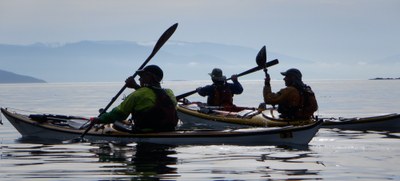
A 2 day trip through the San Juan islands, camping on two beautiful islands, and using tidal currents for considerable boost through most of the route.
- Tue, Apr 27, 2021 — Thu, Apr 29, 2021
- Sea Kayak - Turn & Doe Islands
- San Juan Islands from Anacortes
- Sea Kayaking
- Successful
-

- Road suitable for all vehicles
-
Currents are the most important consideration. You want morning ebb currents
and afternoon flood currents. Currents that work for the Friday Harbor trip or
the Doe Island trip work for this trip. Below I make note of the currents
during our trip as a guide.Our moving average speed for this trip was 4.1 knots.
Doe island is small, with limited camping. If you arrive late on a
summer Saturday, there may not be enough tent sites. Note that there is a
forest site on the north side of Doe, up from the dock. Hammocks will solve the
problem of uneven ground.I solved the problem of crowding by running this trip mid week in April. We had
a fortunate weather window, so this worked out great. Winds were minimal.
During the evening on Doe Island, there was enough precipitation that we all put
on our rain jacket but did not otherwise alter our activity. Best of all, the
islands were empty. We had them to our selves and the sties had a feeling of
freshness.We saw many porpoises, river otters, sea lions, and one whale at a distance.
Day 1: Washington Park to Turn Island
Currents
- Rosario max ebb 10:00 at 3.7kt
- San Juan Channel max flood 15:30 at 4.9kt
Departed Washington Park at 8:45 to catch the ebbing current in Rosario. Typically saw speeds of 6-7kt while in the center of Rosario.
15 minute stop at small beach near Watmough Head.
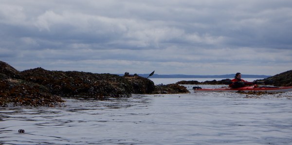
The south shore of Lumi is beautiful but there is a light current running against us for most of this leg.
Arrived Iceberg Point about noon where we took nearly an hour lunch break.
Launched at 13:00 and paddled east of Long Island to the tidal race. Today, the standing waves were well east of the rocks and not well formed for surfing.
We punched into the main current and saw speeds of 8 to 9 kt through Cattle Pass. We were able to ride the current most of the way to Turn Island, making for a quick passage.
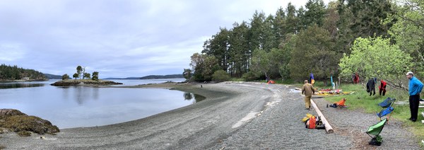
Arrived Turn Island 15:00. We were the only party camping on the island this evening. Weather dry, light overcast, cool. No bugs to bother us. Enjoyed relaxed afternoon and evening.
Day 2: Turn Island to Doe Island
Currents
- Upright Channel max flood 13:10 at 2.7kt
- Peavine Pass max flood 16:00 at 2.3kt
- Peapod Rocks max flood 18:40 at 4.1kt
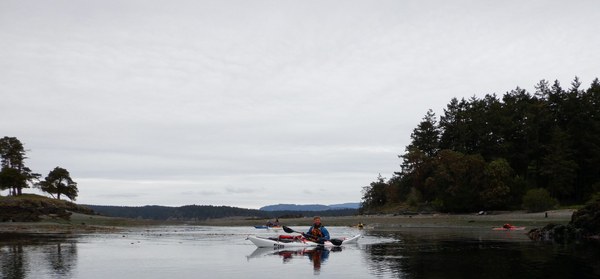
We departed Turn island at 11:50. The current in San Juan Channel was still ebbing. We went around the north side of Turn and ferried into upright channel. There we had a moderate current assist. We passed up a bathroom break at Odlin County Park. Instead, we stopped on the rocky shore near Upright Head, which is marked as Public Shoreline. In calm seas, it was easy to step out of our boats of a pee break.
We crossed to the Blakely Island Marina where we landed right of the dock and took a break on the grass just above. The store was closed for the season and no open bathrooms were found.
At this point, we were ahead of schedule and took a long lunch break. We watched the current change from slack to flood.
At 2:45 we launched to catch the flood through Peavine.
Arrived Doe Island about 15:30. We landed on the south shore pocket beach. The beach located just north of the eastern tip was mainly exposed rock at this time. A small trail provides easy access to camp sites. There was enough space above the 8.5ft high tides for our 6 boats.
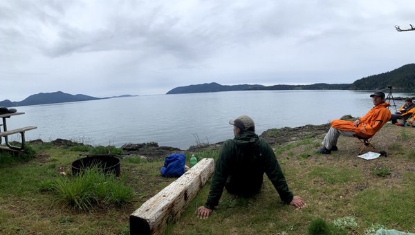
Again, we were the only party camping on the island. A very light rain started as we were landing and continued through 20:00. It was enough that we all put on rain jackets but otherwise sat comfortably in the open.
If we had launched later, currents would have been more favorable for us.
Day 3: Doe Island to Washington Park
Currents
- Lawrence Point slack at 7:30 and max ebb 11:0 at 2.3kt.
- Towhead Island max ebb 10:30 at 0.7kt
- Bellingham Channel max ebb 10:45 at 5.0kt
Up at 6:00 for an 8:10 launch. Weather dry with moderate temperatures. Winds light and variable through the day.
We paddle to Lawrence Point, alternately in favorable and contrary currents.
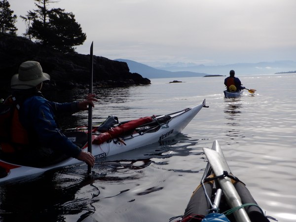
From Lawrence we enter the south flowing current and ferry on a course to take us into Bellingham Channel. It is about a 30deg ferry angle. I’ve chosen Bellingham Channel for two reasons. First, there are two camp sites that offer great break opportunities. More importantly, it will be far easier to cross to Washington Park. If one goes down Rosario Straight, one must cross the strong ebb currents from both Bellingham and Guemes channels at an unfavorable angle.
We have good current assist to Pelican Beach, arriving by 9:45. From there we paddle through he Cone Islands. These are owned by Washington State Parks, but never developed for use. That’s good, as they serve as a wildlife sanctuary.
From south of the Cone Islands to Cypress Head there is minimal current. The current increases as we approach Cypress Head and sweeps past the northern point of the headland forming a strong eddy line with large boils and whirlpools.
We take our second break on the Tombolo. There are extensive trails through Cypress Island, accessible from both Pelican Beach and Cypress Head.
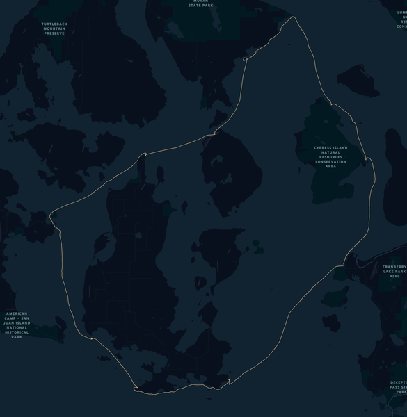
After the break, we exited the bay and caught the current. This easily carried us into the center of Bellingham channel. Great current assist through here. We pass east of buoy “4” then easily ferry to Shannon Pt and Washington Park, arriving 12:23
 Tom Unger