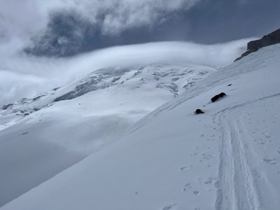
Trip Report
Basic Alpine Climb - Steamboat Prow
Enjoyable skin/ski of Steamboat Prow in good conditions.
- Mon, May 30, 2022
- Basic Alpine Climb - Steamboat Prow
- Mount Ruth (Mount Rainier)
- Climbing
- Successful
-

- Road suitable for all vehicles
-
Highway 410 was open to the White River entrance to the park, and the road to the White River Campground was open as well.
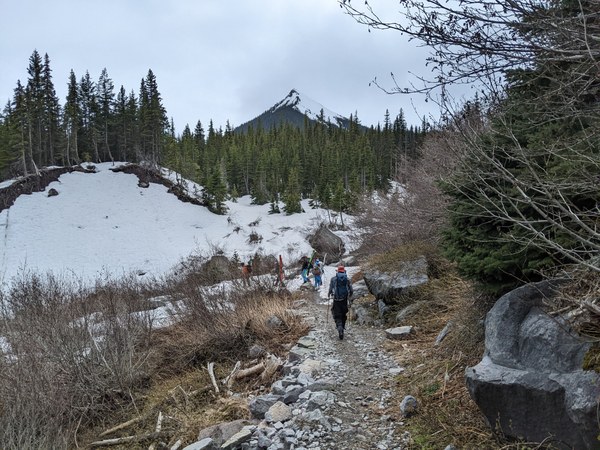
The approach trail started out under a few feet of snow at the Glacier Basin TH. We (optimistically) started out skinning from the TH and worked around a few breaks and some trees/brush across the trail, but after a half-mile or so and with long breaks in skinnable snow, we put skis on packs and hiked in our boots. At about 1.5 miles in, continuous snow resumed with about half the party skinning and half continuing in boots. Trail runners (possibly with microspikes) might have been good up to Glacier Basin, but rough and alternately soft and icy snow made boots a good choice for travel. A couple of narrow snow bridges over creeks that were skinnable on the way in had been stomped/chopped into more manageable shape by the time we exited in the afternoon.
In the Basin, the snowpack was deep enough that the Inter Fork of the White River only showed through in a few places, so crossing was straightforward. There was evidence of significant wet-loose activity on many aspects (anything below exposed rock on the toe of Mt Ruth or St Elmo Pass) as well as some smaller slab avalanches on steeper S aspects.
The Inter Glacier was fully sealed up with snow conditions ranging from soft in the basin (unsupportive to boot traffic, based on other travelers we observed) to icy/firm/hard above Camp Curtis.
Our crew started out at 7:30 from the White River campground and alternately skinned and booted our way up to Glacier Basin, where we were greeted by unexpectedly clear skies for our ascent to Steamboat Prow. (Visibility deteriorated later.)
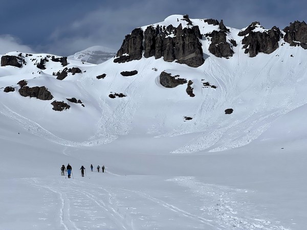
Along the N flank of Mt Ruth, we stopped, took note of the visible evidence of avalanche activity and reaffirmed our travel plan. We skinned the usual path along the W flank of Mt Ruth, ascending to around 8150' before turning SE to attain the low point in the ridge between Mt Ruth and Steamboat Prow, located right above Camp Curtis.
At this point, we briefly split the party, and one of the climb leaders took a group of three to the summit of Mt Ruth while the rest of the group continued on to the top of the Prow. (This was a bonus of having three climb leaders on the roster.) The Ruth group reached the summit and then made good time catching up to the rest of the group on the summit of the Prow. While the air was warm and still on the Inter Glacier, the wind was cold and strong along the ridge, and some of the party opted to put on ski crampons for the icy conditions.
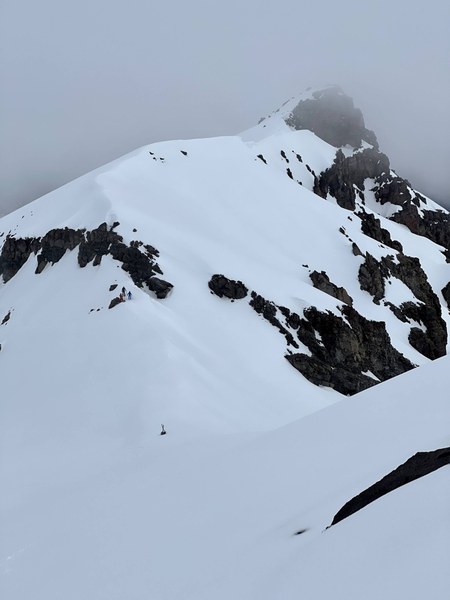
Here's a view of the Mt Ruth summit from above.
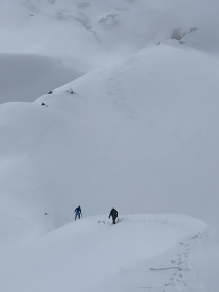
And here's a view of the group descending from the summit of Ruth with the rest of the party in the distance.
Visibility opened up enough to offer good views of the Emmons, Little Tahoma, and the upper mountain on Rainier.
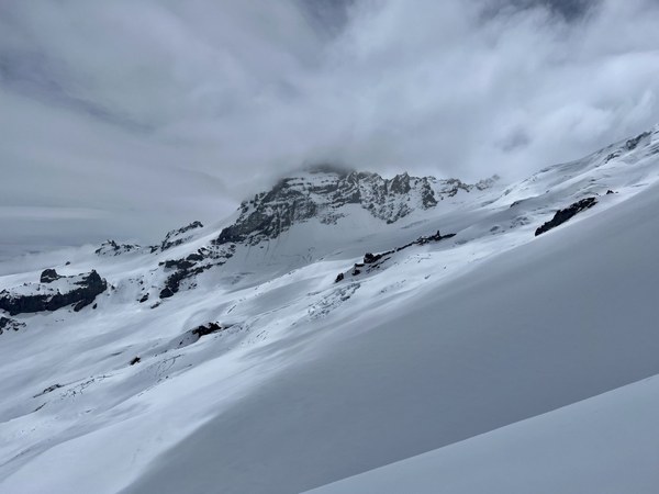
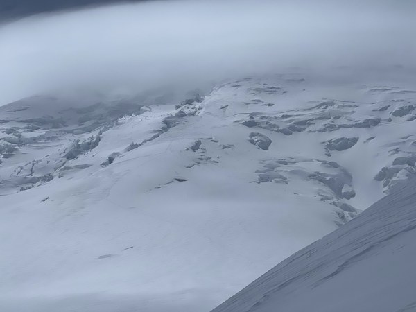
The party rendezvoused on the top of the Prow as planned, transitioned quickly, and had a fun if challenging at times ski down to the basin, with the snow transitioning from breakable crust to firm snow to corn to soft snow in the basin.
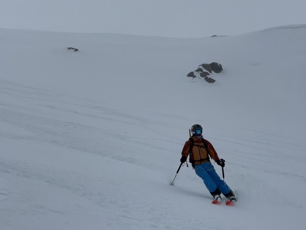
Total time from TH to TH was about 8.5 hours — 5500' of gain and 11.5 miles of distance for the Prow only, 5700' of gain and 12.5 miles for the Prow plus Ruth.
 Paul Brown