Trip Report
Alpine Scramble - Treen Peak
Steep and beautiful!
- Sun, May 16, 2021
- Alpine Scramble - Treen Peak
- Treen Peak
- Scrambling
- Successful
-

- Road recommended for high clearance only
-
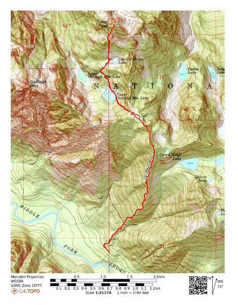
The last few miles to the Green Ridge TH is in pretty poor shape. One particular dip was especially bad.
This scramble was on 5/16, a beautiful day.
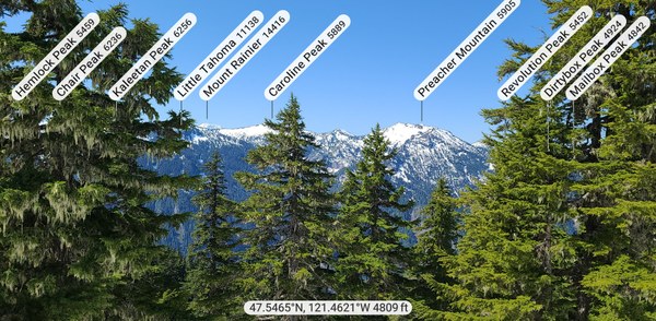
Our group of 9 started up the Green Ridge Trail (1320') around 7am. It's a steep trail from the start and stays that way. Except for the occasional logs to crawl over, it's in pretty good shape. At about 3500' the trail splits with the trail heading northeast going to Green Ridge Lake and our trail continuing straight up. Around 4300' we hit continuous, consolidated snow and the steepness eases some as we follow a ridge for a short time.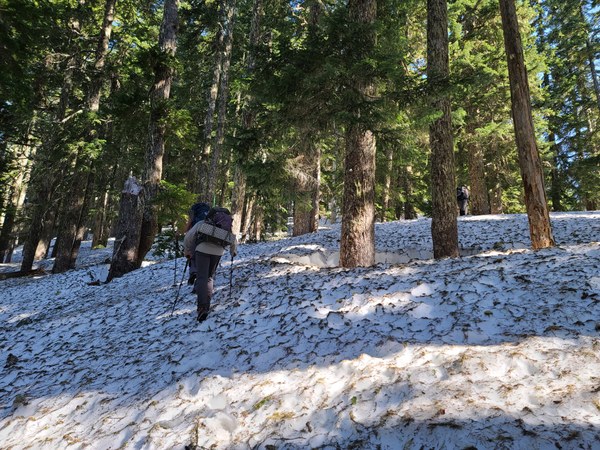 Looking south from the ridge, we get some views of local peaks.
 Once we've climbed to about 4800' we have to descend about 800' to the 2 lakes below. The first one is Upper Garfield Lake.
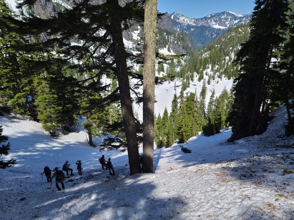 We now have a good view of Treen Peak on our right.
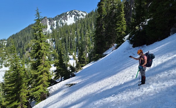 We will drop almost all the way down to Upper Garfield Lake. The Garfield peaks are beautiful.
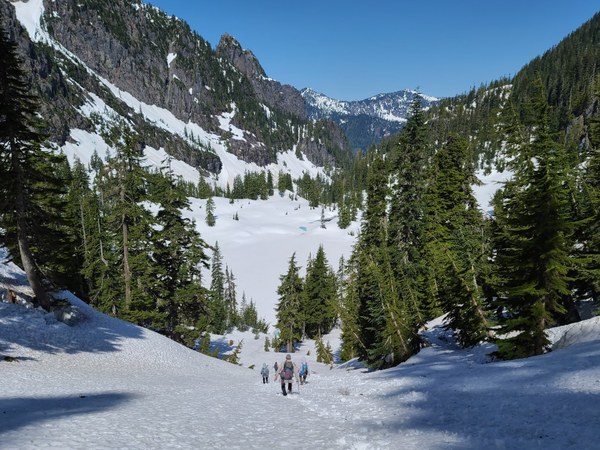 We pass by the east side of Garfield Lake and head for Charlie Brown Lake.
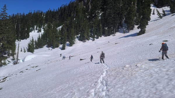
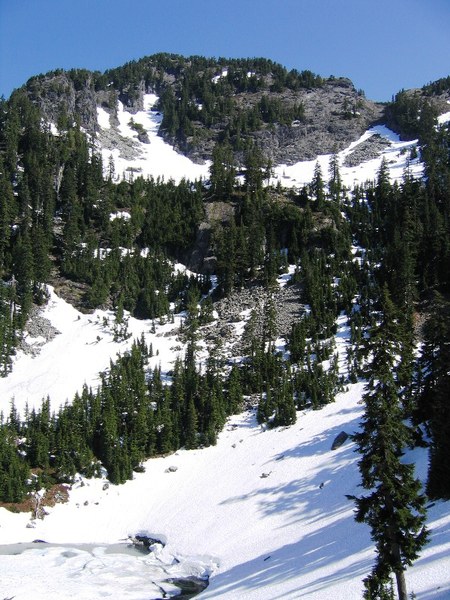 Taking a break at the snow covered Charlie Brown Lake and assessing our route. Navigation has been easy until this point.
 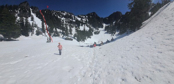 Tracks we had from 2 others did not take the route we did. The other route appeared to have moats and looked more sketchy. From the saddle (as shown from the above photo) we dropped down on climbers left to navigate around the rock and found a nice snow ramp up. Many thanks to Jason W for doing a bit of scouting and finding this less sketchy and steep route! It worked out great for us. The photo below shows our route from Charlie Brown Lake. You can see that rock formation (circled in red) from Charlie Brown Lake.
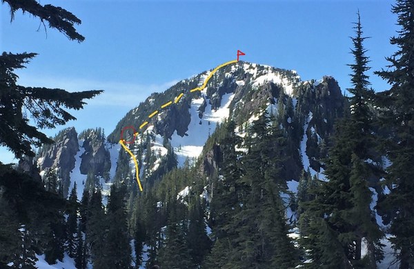 Heading up.
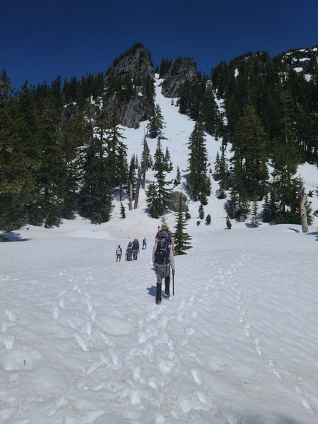 Admiring the views and looking down at the route our track had us coming up. Really glad we didn't do it that way.
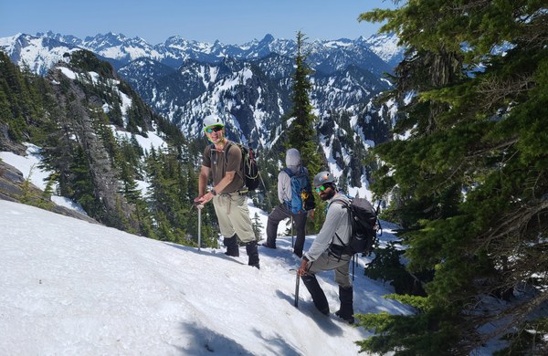 Almost to the saddle. Such a warm day. We tried to stay in the trees when possible where the snow was better and to help keep us cooler. Thanks for the photo, Xiulan.
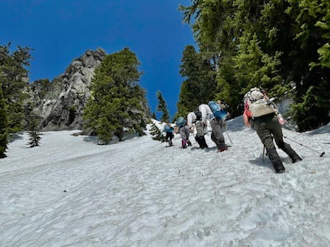 From the saddle we dropped about 50' and start traversing (maybe 100') towards the snow ramp that will take us to the summit.
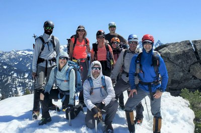
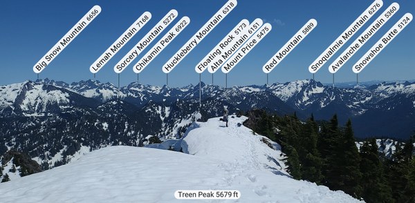
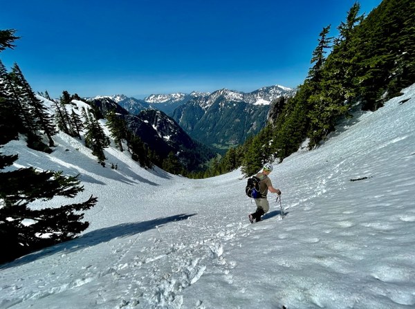 Summit success.
 Amazing 360 degree views on this fine day!
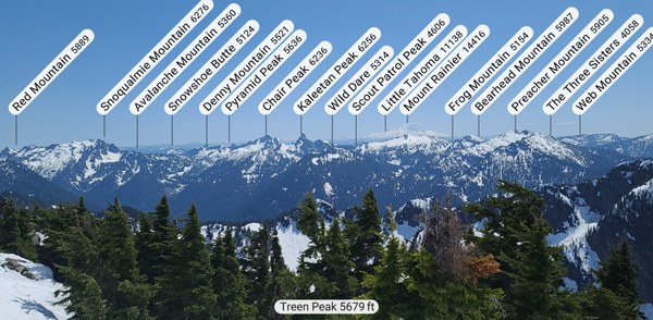
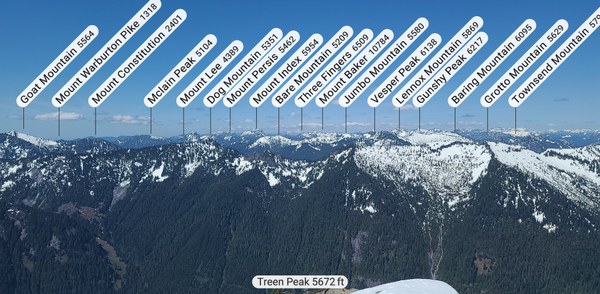
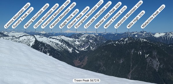 We depart about a hour later. Almost at Charlie Brown Lake again where we refill our water bottles. It's about 4pm by the time we leave here.
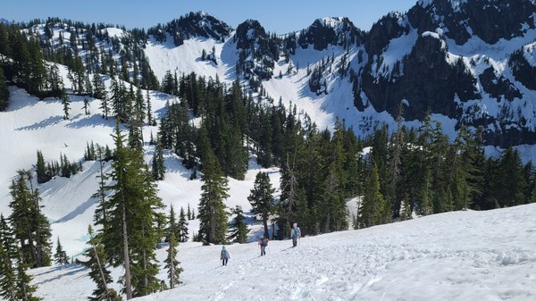 Just about to pass Upper Garfield Lake again. No one is looking forward to the 800' we need to climb up to get out.
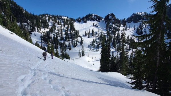 Xiulan's photo of us climbing up that 800'
 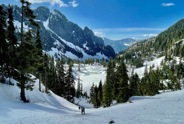 Back at our cars about 13 hours later. Averaging everyone's tracks came out to be about 7 miles/6200' for the day. What a beautiful day with such a great group!
 Susan Shih