Trip Report
Alpine Scramble - Seymour Peak/East Ridge
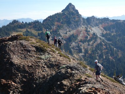
Fall color scramble up Seymour Peak's east ridge
- Wed, Oct 5, 2022
- Alpine Scramble - Naches, Yakima & Seymour Peaks
- Naches, Yakima & Seymour Peaks
- Scrambling
- Successful
-

- Road suitable for all vehicles
-
The route between the PCT and the peak involves following a variety of game trails and boot paths. They are fairly easy to follow and find again when you lose them. Heading up toward Seymour at about 5400 feet is where you head SE up the slopes still along boot paths up to saddle between Dewey and Seymour. Then head west along eastern ridge of Seymour along a boot path. There are two sections of class 3 rock with some minor exposure but solid rock. There is one brief slope of steep and loose nasty rock before the final upper summit ridge.
GPS track: https://www.gaiagps.com/datasummary/track/8d47a181597bd4971e8319b663008de3178e3bfc/
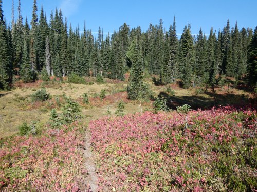
Parked at Tipsoo Lakes parking lot and hiked trail up to the PCT, crossed the pedestrian overpass, then hiked the PCT south. Nice fall colors along the trail.
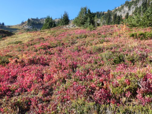
At the junction with the Naches Peak Loop trail we stayed left on the PCT and descended toward Dewey Lakes. We hiked down one big switchback, then about the same distance on the second big switchback until we left the trail. We left the trail on a boot path and headed south on a ridge like feature following the game trails/boot paths. We hiked past several pretty little secluded meadows and crossed the little Dewey Creek. At 5400 feet we soon then headed up SE toward Dewey Peak-Seymour Peak saddle, mainly following paths and whenever they vanished we continued up the slopes in same direction and would find the path again. We gained the 5900 foot pass on the ridge between Dewey and Seymour.
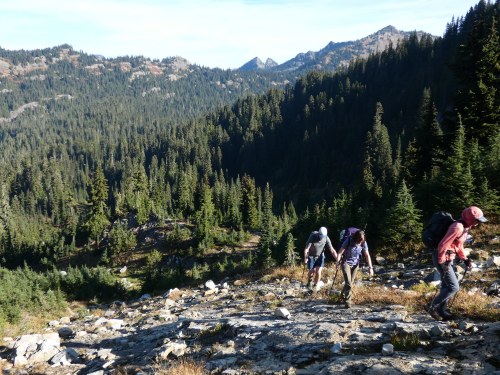
We then followed the path west on the eastern ridge of Seymour Peak. The path led us up to the start of the rock scramble section, featuring a section of class 3 rock that was solid and straightforward with just a bit of exposure.
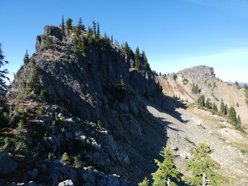
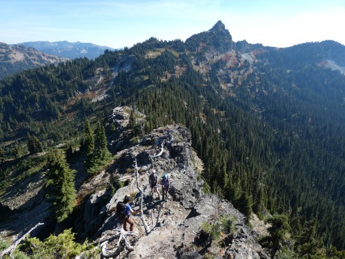
Beyond this section, there was a bit more boot path that led us to a big notch. We scrambled down solid class 3 rock into the narrow notch that did have steep exposed gullies on both sides. On the other side of the notch we had to scramble up a bit of a nasty steep and loose slope, although it was brief. That led to one final boot path along the ridge to the summit. There were two little twin summits so we made sure to visit both. So unlike what many previous misleading route descriptions and trip reports mention, the east ridge of Seymour is indeed class 3, not class 2. Either way, pretty straightforward.
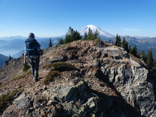
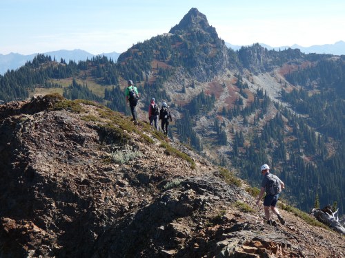
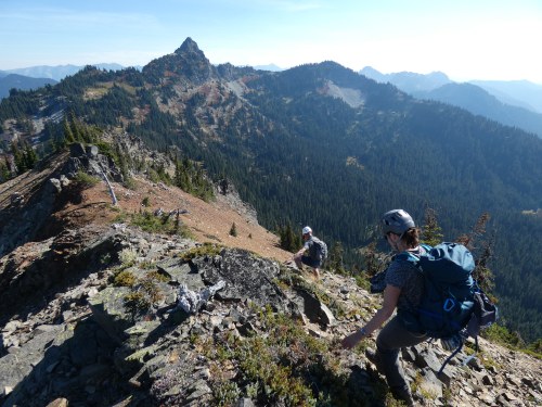
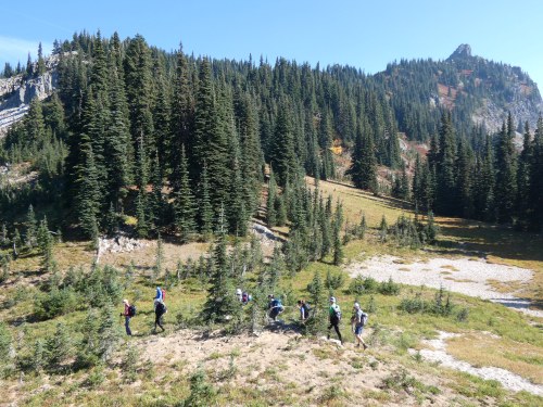
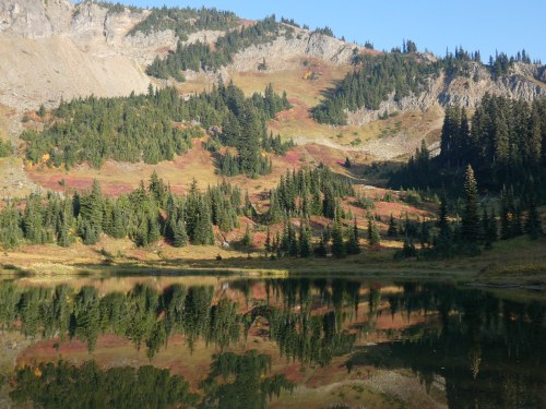
We retraced our route all the way back up to the junction with the Naches Peak Loop Trail. We turned westbound and hiked the Naches Peak Loop Trail clockwise past the picturesque pond with fall colors everywhere. Sadly the smoke from the Goat Rocks Fire moved in and thick haze ruined the view of Rainier, so I couldn't get the photos I wanted to.
 Chris Pribbernow