Trip Report
Alpine Scramble - North Petunia Peak
Nothing like a rain shadow to make your day, and this NE Olympics version did not disappoint on this trip to North Petunia. Flowers, pristine lakes, sun warmed rocks (for sitting ;) and sweeping views made for a great time.
- Sat, Jun 15, 2024
- Alpine Scramble - North Petunia Peak
- Petunia Peaks
- Scrambling
- Successful
-

- Road suitable for all vehicles
-
Perfect route conditions with only a few easily avoided snow patches. Brought micro-spikes but did not use them (primarily for South Petunia, which we skipped to ensure a rapid descent in the event of lightning). In spite of voluminous clouds in the distance at all compass points, we had almost continuous sunshine the entire day (our own private island of good weather). Neither heard nor saw thunder/lightning the entire day.
We’d originally planned a long traverse along Happy Lake Ridge to Aurora Peak via Barnes Creek, but with the possibility of thunder/lightning we really needed a venue that ensured a quick descent. The thunder/lightning forecast was surprisingly consistent across western Washington, and we were becoming somewhat disheartened of finding a reasonable alternate venue. Fortunately we remembered a similar set of conditions on September 7th, 2019 (trip report here) with thunderstorms all around, yet a sunny island at Petunia Peak (due in no small part I’m sure to the NE Olympics rain shadow). North Petunia Peak was our choice.
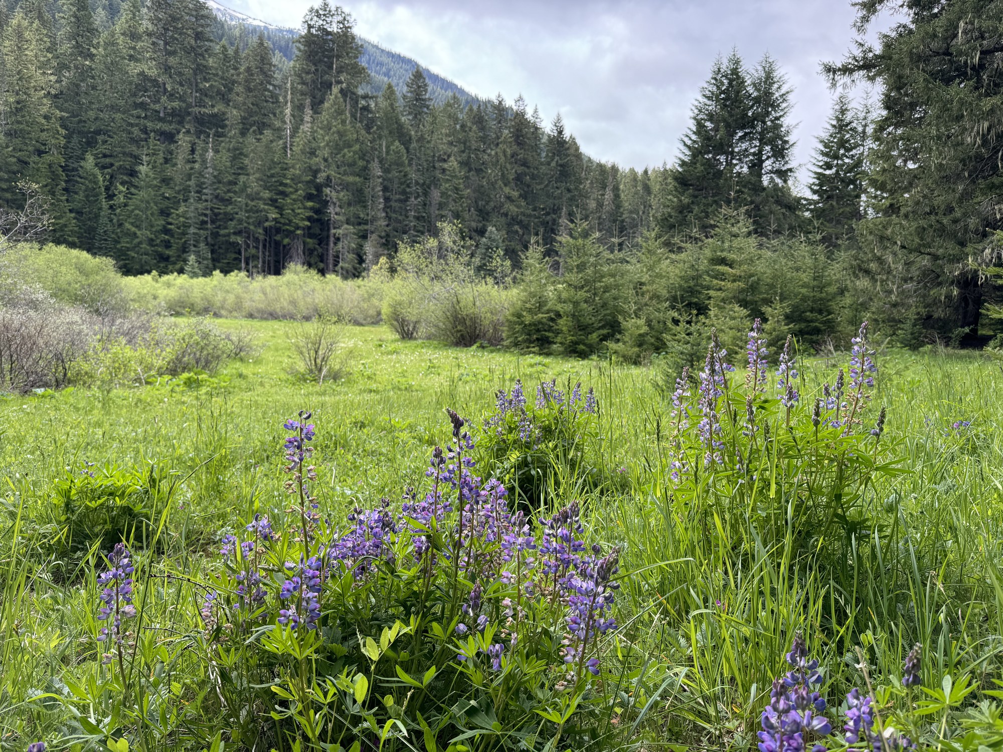
Many signs of recent rain in the morning (deep pools of water on the road near the Edmonds ferry terminal), but the parking lot was dry at the Upper Dungeness trailhead and a short time later we were enjoying gorgeous flowers in the meadows at the base of the fisherman’s trail to Goat Lake (just west of Camp Handy)…
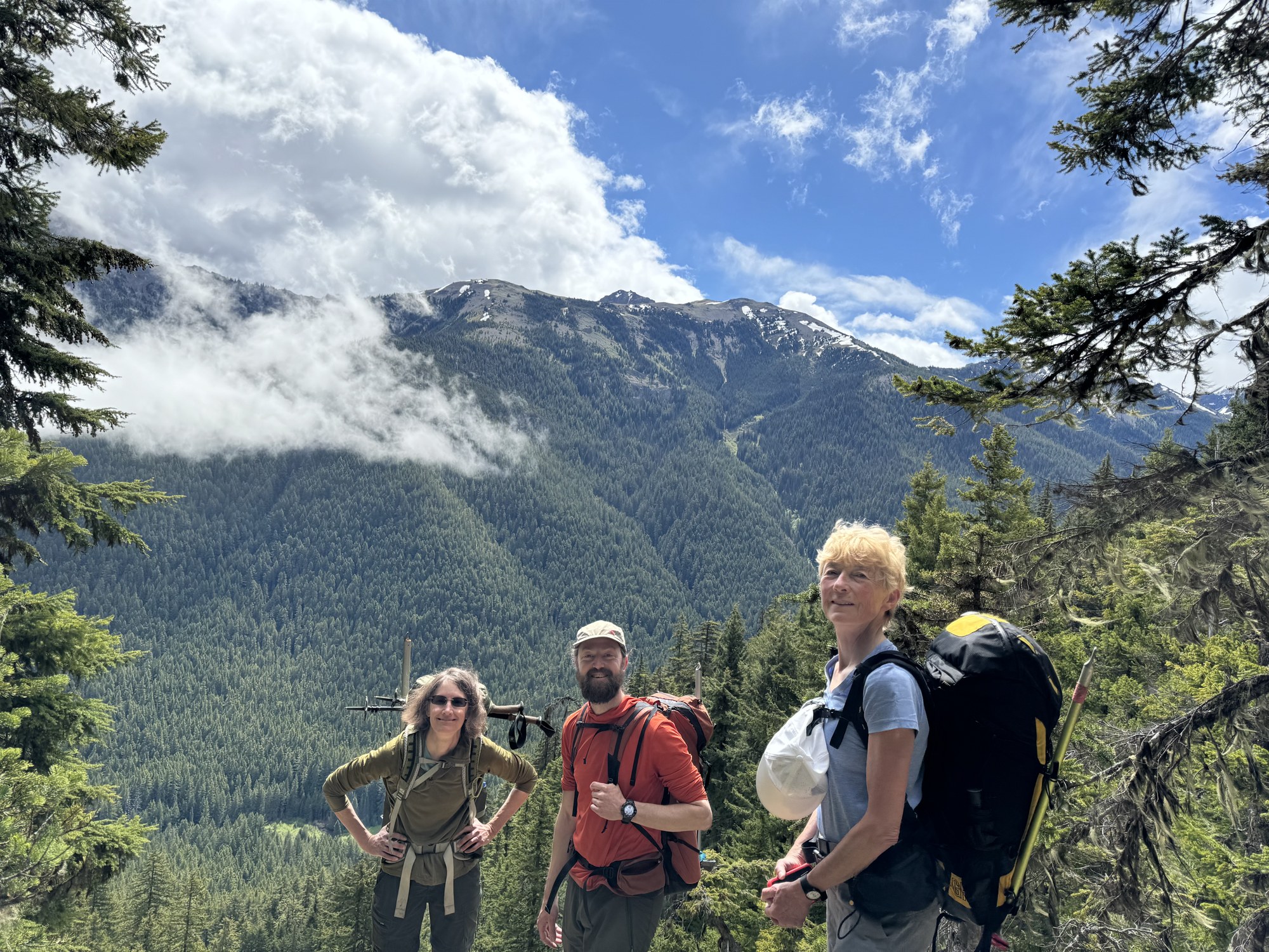
… soon followed by beautiful blue skies on our steep ascent.
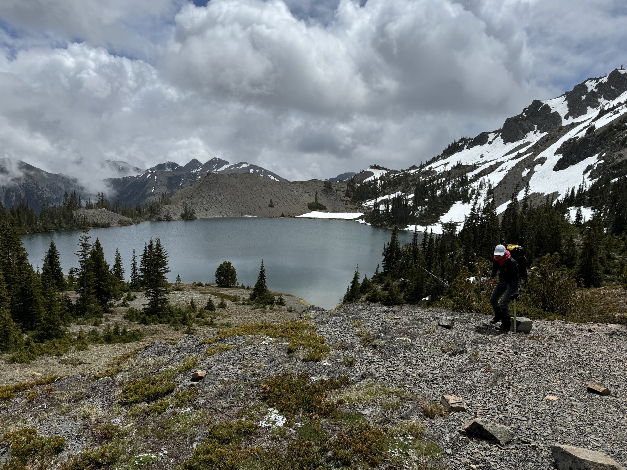
We took a substantial break a Goat Lake and greatly enjoyed the bone warming rocks (and sun) while the clouds continued their harmless billowing.
We continued our ascent towards North Petunia…
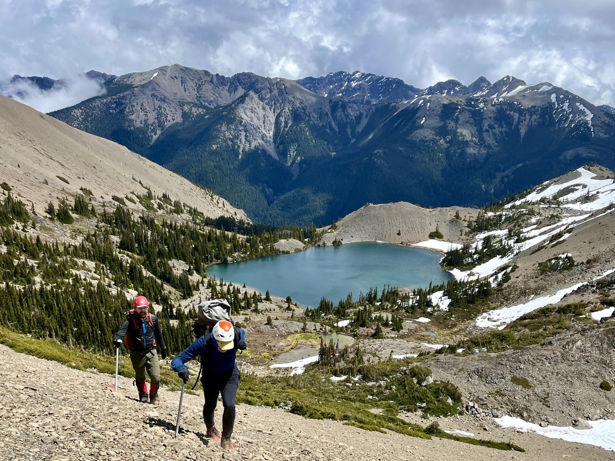
By Nina Crampton
… and soon reached the ridge crest between North and South Petunia (South Petunia on the right).
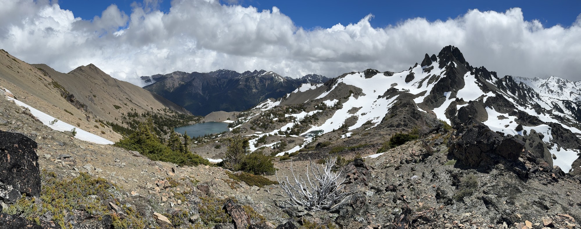
From the ridge crest we could finally see Royal Basin, with Royal Lake completely melted out and the upper basin still snow covered.
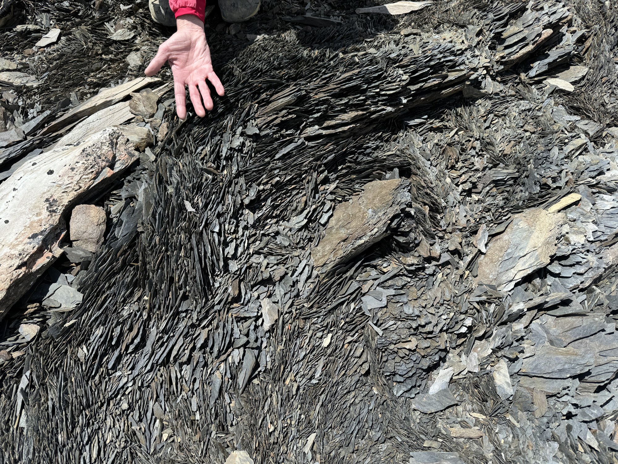
Some interesting, almost organic/life like shale along the ridge to North Petunia.
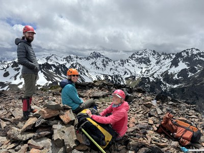
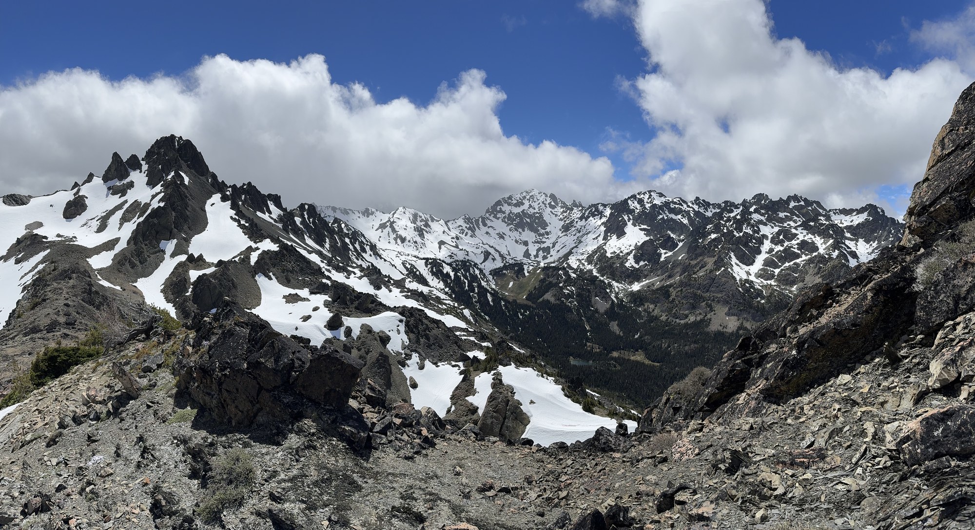
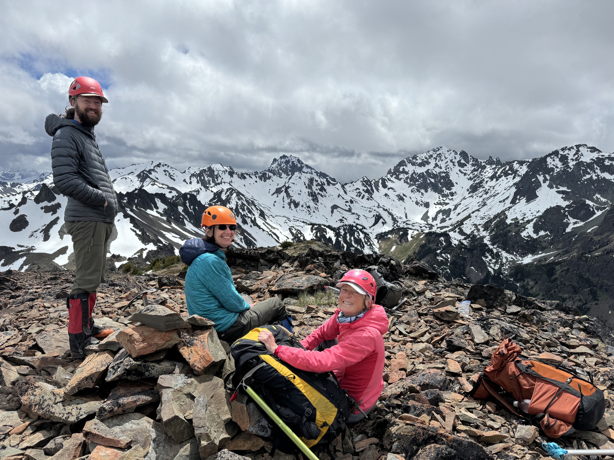
At the summit of North Petunia, still in our own private warm rock sun island. Mount Mystery in the center, Mount Deception is on the center-right.
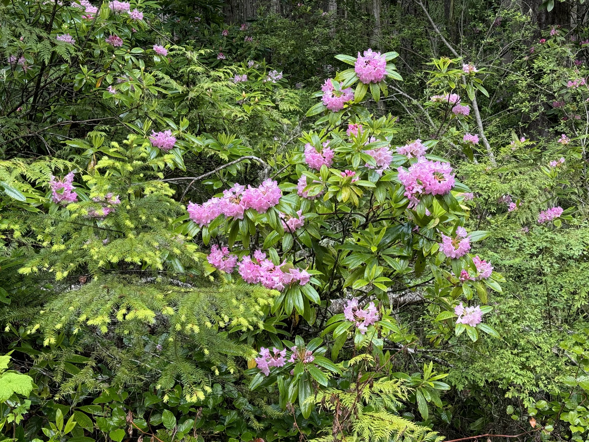
As promised, the descent was quite quick with the Rhododendrons out in force at lower elevations.
A perfect day in the mountains. As is so often the case the actual conditions were much better than the forecast. A strenuous trip of ~4600’ gain spread over ~12 miles (round trip). Our total time was 9.5 hours (5.5 hours on the ascent, 4.0 hours on the descent), with several substantial breaks here and there. Photos from this and other trips to this venue can be seen here and here.
 Dave Morgan