Trip Report
Alpine Scramble - Mount Pugh
A strenuous scramble with rewarding 360° views on the top
- Sat, Jul 6, 2024
- Alpine Scramble - Mount Pugh
- Mount Pugh
- Scrambling
- Successful
-

- Road suitable for all vehicles
-
Road is rough but passable, and there was a Prius that made it to the TH. We arrived at the TH around 7:30ish, and there were four cars already. Bugs were definitely there at the parking lot and the lower portion of the trail, but they were mostly gone by the time we got up to Stujack Pass.
Trail was snow-free till Stujack Pass (5,750 feet). From there to the razorback ridge (6,120"), there were snow fields to cross, and ice axe was 100% necessary. Snow was soft enough for us to kick solid steps in in the late morning. I would still bring crampons for the next week or so just in case, as a climber on his way down told us he needed crampons in the early morning (9ish).
Also, make sure to bring plenty of water (3.5L minimum). There was no water source (other than snow) past Lake Metam, and the lake itself was so stagnant that I didn't feel comfortable filtering water from it.
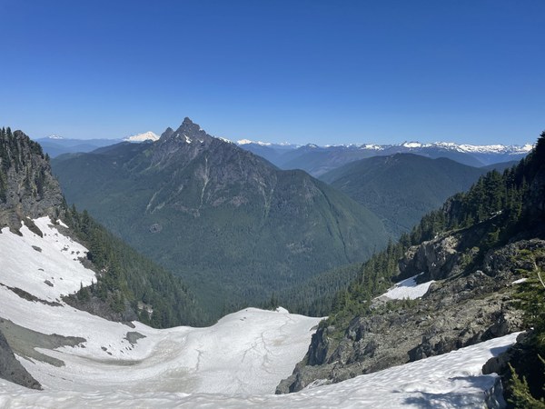
Looking at the snowfield on the other side of Stujack Pass with White Chuck Mtn in the background. The trail going up to Stujack Pass was snow free.
Here is my GPS track on Strava, and you might find this WTA trip report helpful.
Everyone linked up at the TH (at roughly 2,000") around 7:30am. We did a quick debrief and gear check-in and got going right around 8am. We were moving at 1,000 vertical feet per hour and took a 5-min break every hour. We made it to Stujack Pass (5,750 feet) right around 11:30AM. We took a longer break there, got our ice axe out, and put on helmet/mountaineering boots. It was mostly scrambling terrain from the pass to the Mount Pugh summit.
There were 3 major snowfields we encountered during our ascent. The first one covered the switchbacks from Stujack Pass to the ridgeline. I would strongly recommend using ice axe here for walking in balance, and crampons might be needed if you ascend this snowfield early in the day when snow can be hard still.
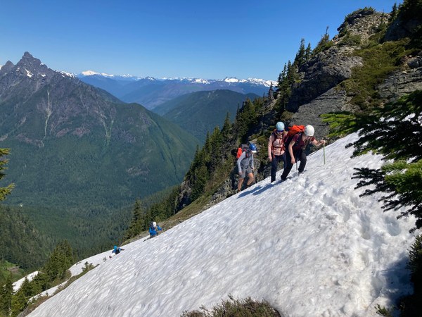
The snowfield at the ridgeline (at ~6.800") wasn't bad but made navigation a little difficult. I don't think it should be an issue after one more week of warming.
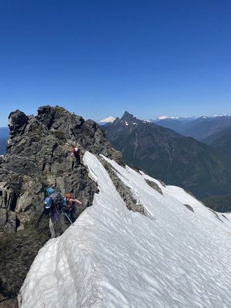
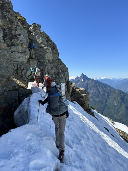
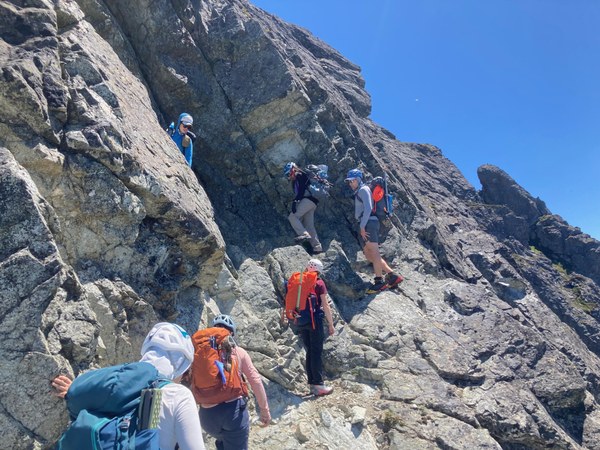
The last snowfield we had to cross was when we were getting closer to the summit (past the ridge and rock scramble section). The rock scramble portion was lots of fun. The moves were not hard, but some exposure was there for sure.
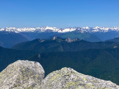
We made it to the summit a little after 2:10pm. We took a much-needed break there and took in the summit views.
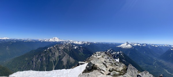
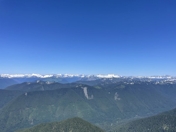
Here are the summit group pics:
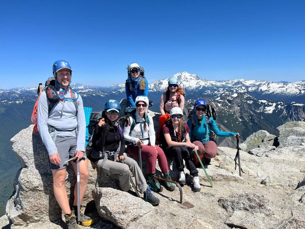
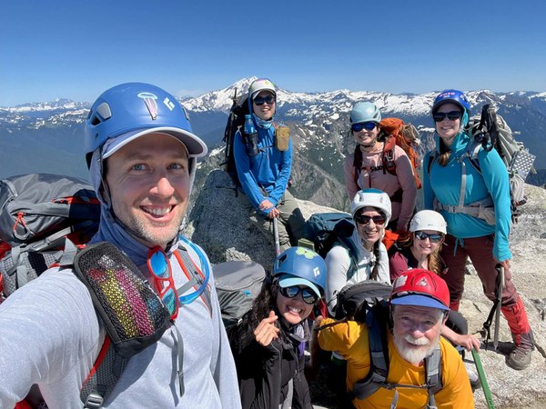
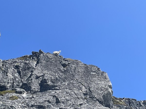
Going down was uneventful. We did spot a goat :) We returned to car at 6:40ish in the evening. According to my Garmin watch, the whole C2C trip was 10 hour 42 minutes.
 Ambrose Zhi