Trip Report
Alpine Scramble - McClellan Peak
Great alpine scramble, from one end of the Enchantments to the other.
- Sat, Jun 30, 2018
- Alpine Scramble - McClellan Peak
- McClellan Peak
- Scrambling
- Successful
-

- Road suitable for all vehicles
-
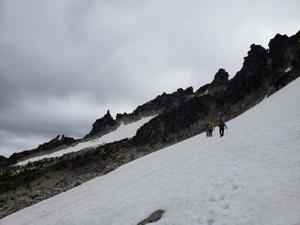
Aasgard Pass is 99.9% snow-free, except the one usual spot with a sidewalk stamped into it. The "core" can be traversed in sneakers, despite having sizable snow patches. They are all crushed down to hard trail by now. The snow slopes on McClellan's north side were barely soft enough for boot kicking, but we elected to use crampons on the steepest portions. Bought them, might as well use them.
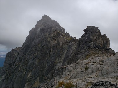
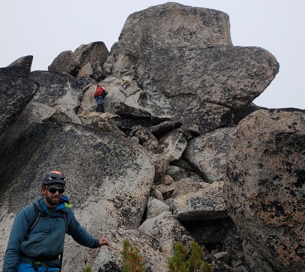
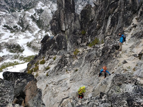
From the notch above The Prong, the summit is further than expected. Most of our group ascended somewhat tricky slabs on the southwest side and an easy chimney to the summit. If you walk around to the southeast side, however, there is a truly easy class 3 scramble to the summit.
I'd be warry of the snow leading to the Prong in late season; it's probably bulletproof.
Trip began at one of the sausage places in Leavenworth Friday evening. You can never have too much 'kraut and mustard before a big day (or can you?). We pointed at maps, discussed the route and were off to the Stuart Lake Trailhead, leaving one car at Snow Lakes Trailhead. Amazingly, there was a party going on late into the night at the trailhead, including music that didn't stop until midnight. About a thousand climbers got up at 2:30am, jingling their racks on their way wherever. We didn't sleep much and almost got run over by someone trying to park their car incredibly fast on top of the tent.
Hit the trail at 5am. Everyone's hiked this thing a million times. I didn't feel well and we slogged to the top of Aasgard by 9:15. Hiking through "the core" proved simple. Exposed granite, compact snow. After a much-needed stop at a toilet in a larch grove (too much 'kraut?), we came to the top of the hill above Perfection Lake and opted to downclimb a series of huge steps and a hidden gully in order to pass south of the lake. Easy enough, and fun to find a way down what looks like a cliff from the other side.

Ascended somewhat steep grassy slope and rock to gain the ridge leading to the first snowfield on McClellan's north side. The two big snowfields are separated by a grassy step with larch. We put on crampons before making the steep ascend toward The Prong. A section of class 3 rock leads to the ridge where you look across at the summit.
You need to traverse a ways to the south side of the peak. Lower is better. We came to these slabs described in the beta. One move was nearly class 4, but not terribly exposed. Probably easier if you're tall. Once on the summit, you can see the obvious, easier way up on the southeast side (pictured below). Takes probably 2 extra minutes to walk that far around the block. No clue why anyone would write a guide book that doesn't mention this.
 We were falling behind on our 15 hour schedule and didn't stay long. After some TJ's peanut butter cups, we downclimbed the rock by The Prong, cramponed up, and descended the snow as far as we could, making a beeline for the trail at Lake Viviane. Easy route-finding. Switched back to trail runners and hiked 10 more miles without saying much to each other. I was struck by how scrambley the Snow Lakes side is, but it's not a very interesting hike. Particularly the last 2 miles, which we jogged.
We made our 15 hour goal, but weren't able to retrieve the second car in time to get to Heidleburger for double nasties with cheese before closing time. Had to settle for a Le Croix and some potato chips we had stashed in the car. I think McClellan is a great scramble, requiring use of several skills. Problem is, it's in the middle of the Enchantments. I highly recommend it for anyone camping in the core. GPS track here.

 Brian Hill