Trip Report
Alpine Scramble - South Slide Mountain
Getting in one last scramble out of the Sunrise side of Mt. Rainier. A beautiful fall day on a non-technical scramble
- Sun, Oct 8, 2023
- Alpine Scramble - South Slide Mountain
- South Slide Mountain
- Scrambling
- Successful
-

- Road suitable for all vehicles
-
Road is open until 10/10/23. There was no line into the park at 7:30am
We met at 6:30am at the USFS in Enumclaw. Scrambler Adam Dodge also was leading a trip to Goat Island Mountain leaving from the same location. Once we got all the scramblers on the right trips, we divided into our cars and headed up to Sunrise Point.
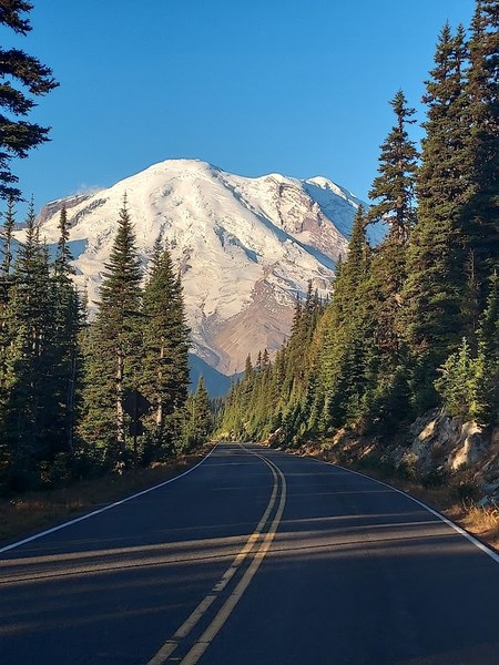
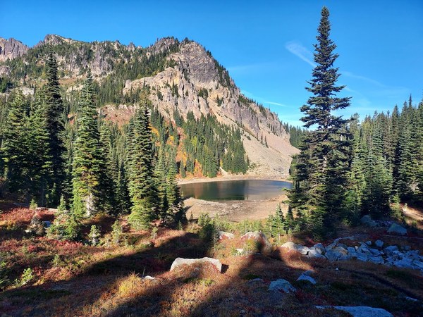
Once at our trailhead, we got our gear together and were off at 8:00am. The first section of the trail is a 400 foot descent down to Clover Lake. We took a quick layer break and continued the up and downs past Dick's Lakes and then to the turnoff to Brown Peak which is just before the descent down to Upper Palisades Lake. Our total time on this 3.5 mile of the Palisades Lake Trail was 1.5 hours.
After a quick water and snack break we turned east and ascended a boot path up the 300 feet to the summit of Brown Peak. Though there are no views from the top of Brown, we had some great shots of Marcus Peak in front of Mt. Rainier on our way up. We were at Brown Peak at 2.0 hours.
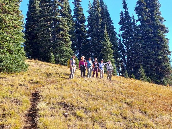
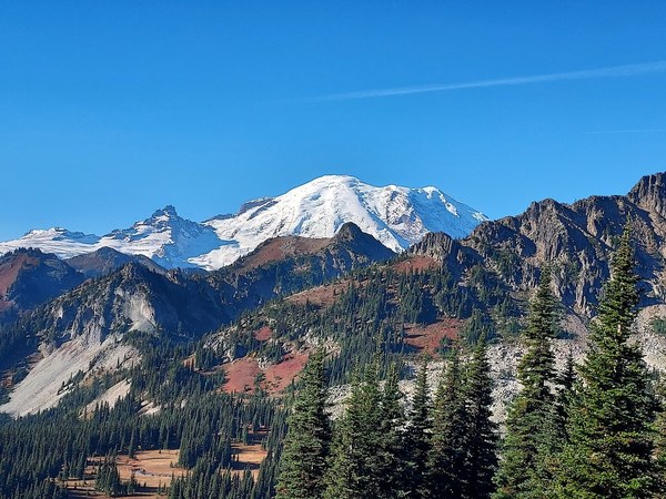
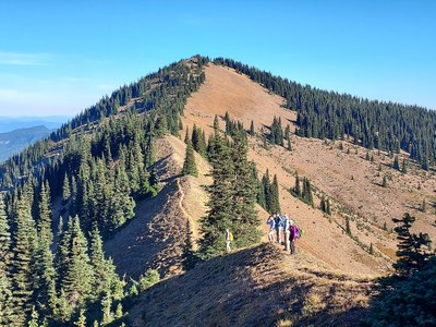
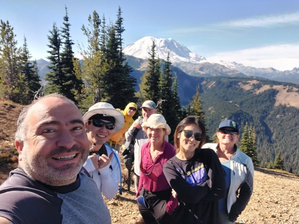
After our summit selfies, we turned north and ran the ridge from Brown Peak to the false summit of South Slide. Once the past the false summit, it was a quick run of the ridge over to South Slide. We arrived at the peak at the 2h 45 minute mark. South Slide itself isn't really anything more than a walk up. A T-1 is probably generous. I couldn't really tell what part of the South Side peak was the high point. There is a small saddle with one possibility on the north side and the other two on the south, but we hit all three high points for good measure. We had a nice leisurely lunch break before heading back the way we came.
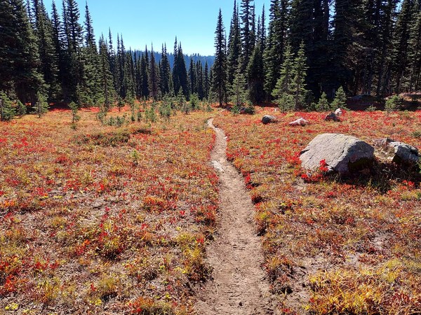
We were back at the car just before 2:00pm. 5h 58min car to car. The hardest part of the scramble was the hike out. Both the what I named, "heartbreak hill" just before Clover Lake, and the final 400 feet out of the basin back to the parking lot were killers in the warm afternoon sun, hence why I only gave the trip 4 out of 5, but the yellow, orange, and reds of the huckleberry leaves and the views of the surrounding peaks with the fall colors more than made up for any minor discomfort in the moment.
One more note. Contrary to the route description on the website, the correct mileage and elevation is 9.9 miles round trip and 1,900 feet of cumulative elevation gain. Probably an S2 and T1 and even the T1 is kind of generous.
 Paul Kallmann