Green Trails Maps
Hi Green Trails Customer!
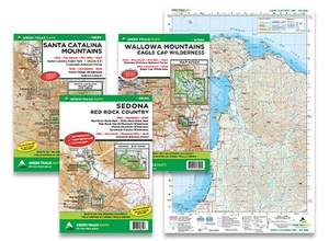
If you’ve come here, then you know that Mountaineers Books has partnered with Green Trails Maps to distribute its product line. We are excited about this partnership and the opportunity to provide you with maps and books in the same order.
If you are an existing buyer of Mountaineers Books, you can now add maps to your orders, and if you're new to Mountaineers Books we hope you'll now find books to complement your maps.
Have a correction you'd like to submit for a Green Trails map? Fill out our form here.
WHAT'S INCLUDED* ON A GREEN TRAILS MAP?
- Trails coded for hikers only, hikers and bikes, horses, X-C skiers, snowmobiles

- Includes icons for picnic areas, tent camping, RV spaces, bathrooms, backcountry toilets
- Icons for points of interest, waterfalls, springs, gates, parking areas
- Identifies dot-to-dot trail distances, contour intervals, adjacent map numbers, permits required
- Land designations such as national and state parks, national forest wilderness, DNR land, private land, Indian reservations
* Some information will vary by map
what format do maps come in?
- CLASSIC MAPS. 12 x 18 (shipped half-folded flat, unless otherwise requested), 15-minute coverage, paper, $8 each
- S MAPS. 18 x 24 (shipped folded, 6 x 9; exceptions: Henry Coe State Park is 6 x 8, Central Park NYC is 3 x 8), waterproof, tear-resistant, ultralight, $14 each
- SX MAPS. 22.5 x 30 (shipped folded, 6 x 9) 60% more covered area than Classic maps, waterproof, tear-resistant, ultralight, $18 each
- SXL MAPS. 22.5 x 36 (shipped folded, 6 x 9), waterproof, tear-resistant, ultralight, $20 each
RETAILERS: Please let us know if you need any additional information about Green Trails Maps or our list of more than 700 outdoor recreation, lifestyle, and conservation books. To order, set up an account, or receive additional information, please contact customerservice@mountaineersbooks.org or call Alison Crabb, our Customer Service Manager, at 800-553-4453 x6053 or 206-521-6053, or you can look for your local sales representative. Download an order form for Green Trails Maps.
Download Printable Index Maps:
Region 1: Washington, Oregon, Canada
Region 2: California & Nevada
Region 3: Nevada, Utah, Arizona
Not with a business? Browse and purchase maps here or use the map feature below.
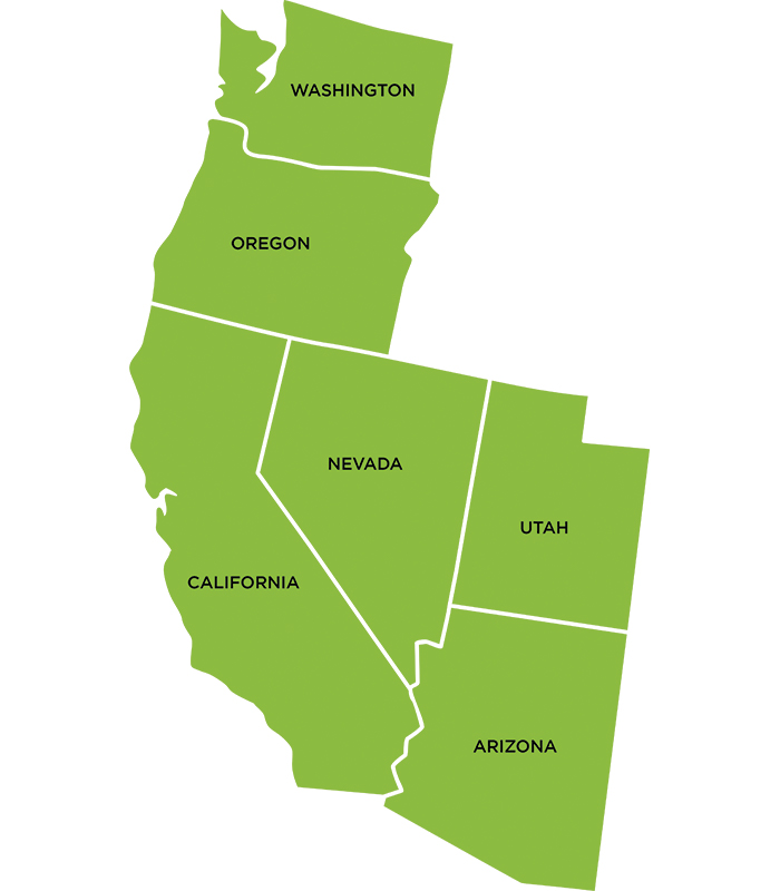
Click on the map to see Green Trail maps for each state

