Trip Report
Winter Scramble - Burnt Park, Palisades, Marcus Traverse
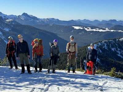
A gorgeous transition season traverse with absolutely perfect weather (albeit a bit chill ;). The shorter day kept us moving right along, and with the normal closure of roads into the White River area we had the north side of Mount Rainier all to ourselves.
- Sat, Oct 28, 2023
- Winter Scramble - Burnt Park Loop
- Huckleberry Creek
- Scrambling
- Successful
-

- Road suitable for all vehicles
-
Just the prior week there were 60°F shirt sleeve temperatures at Mowich Lake, but with a substantial midweek storm to ‘flip the switch’ we had inches of snow up high and 20°F in the morning (brrrrr ;). The shade kept things chilly ascending the NW aspect of Point 6327 (kicking steps in frozen ground was challenging), but with a bit snow at ~4500’ we transitioned to micro-spikes for more secure travel. As the day wore on folks would intermittently toggle in and out of micro-spikes (due to balling up), but we found them extremely useful on our ascent of the NW ridge of Palisades Peak (as well as the descent from Point 6218 NW of Marcus Peak). We skipped the summit of Marcus Peak to ensure a ‘mostly daylight’ descent from Point 6218 (necessitated slower going on portions our route with shallow snow over rock/talus). Prior to this trip we had anticipated the following possibilities (depending on the conditions we encountered):
a) Original route
b) Original route but skip actual summit of Marcus (pass close to it)
c) Just circle Burnt Park counterclockwise (less elevation gain/distance):
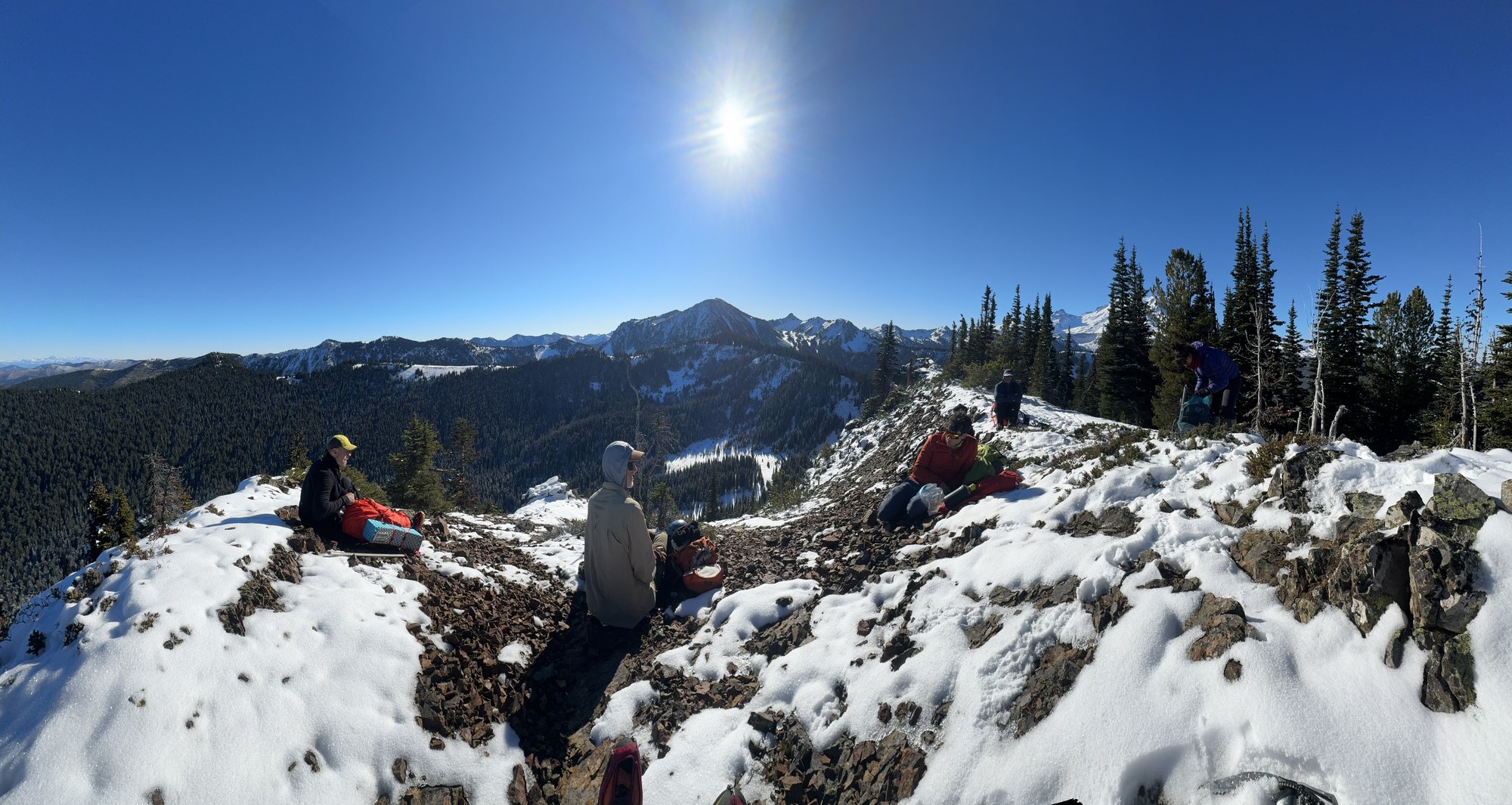
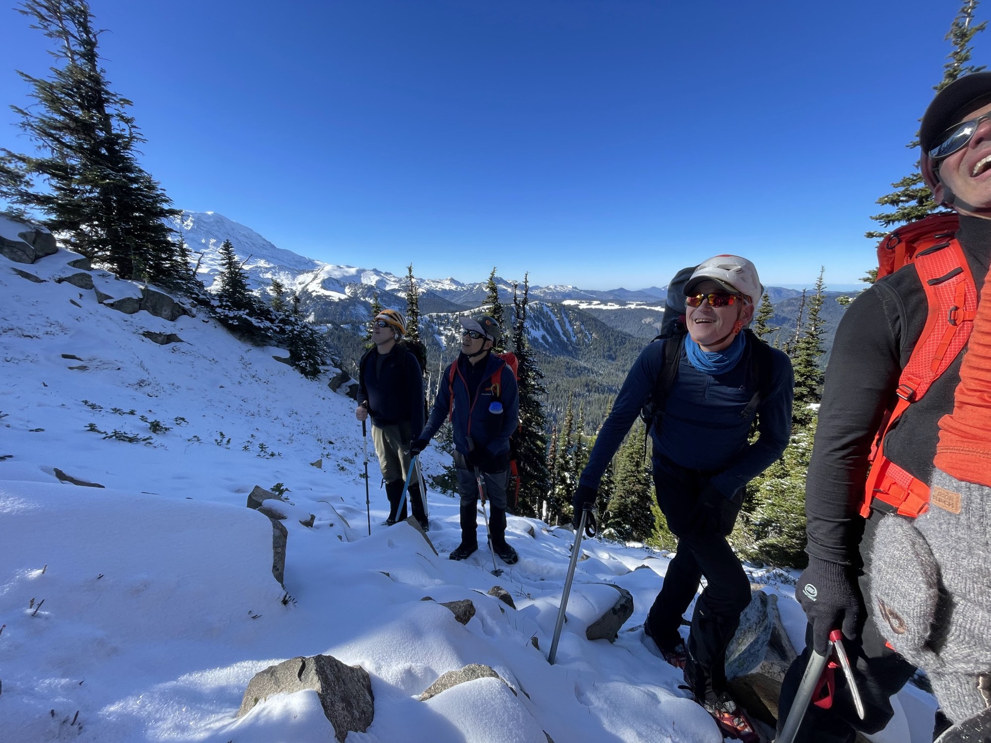
After a nippy predawn departure from the Huckleberry Creek Trailhead (7am) things stayed chilly all the way to Point 6327 above Burnt Park where ‘basking in the sun’ (plus a bit of brunch) became our primary activity.
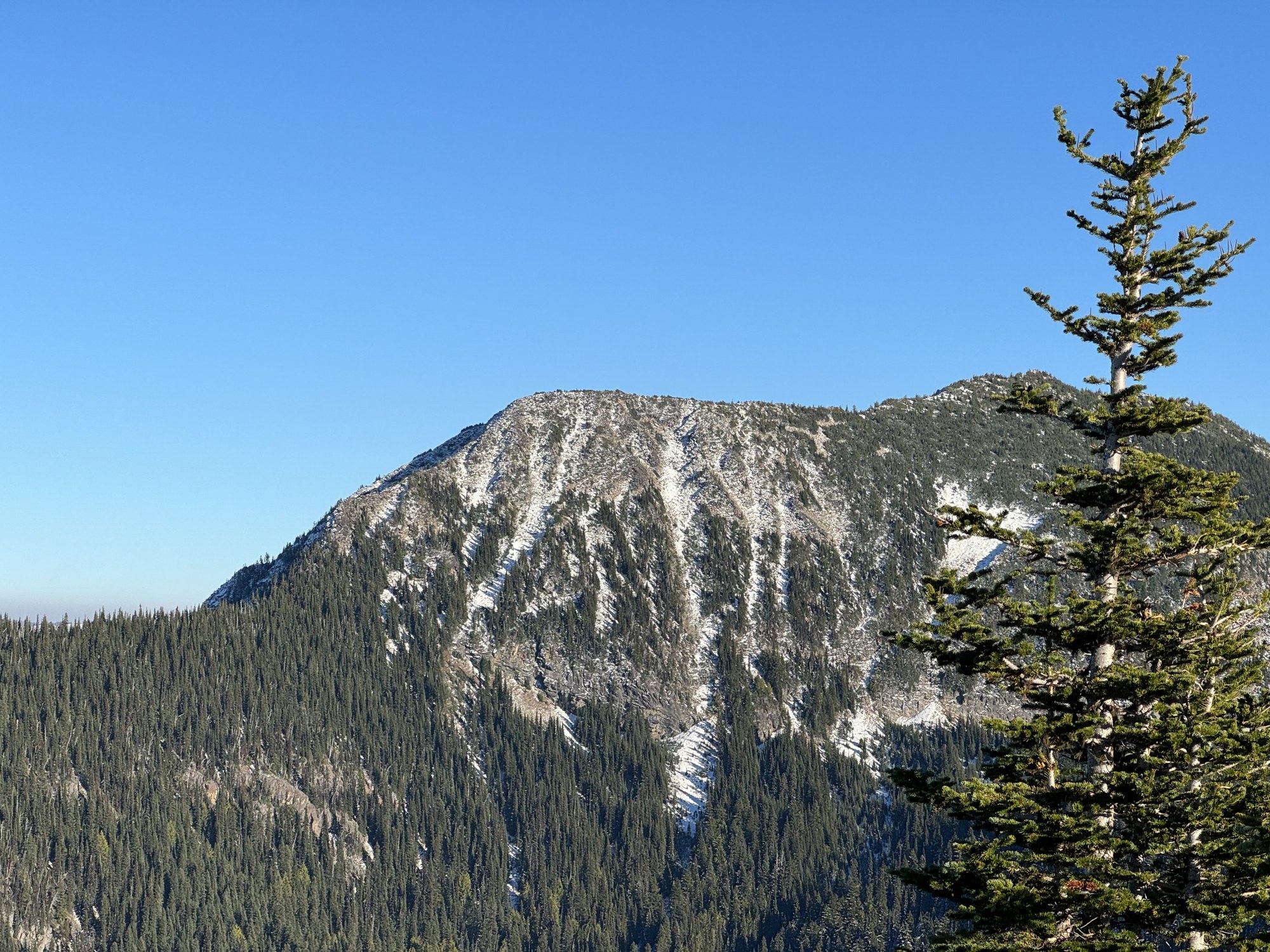
Our next challenge was the NW aspect of Pallisade Peak, the center peak in the prior photo, and the left most ridge in this photo (the shady part bordering the sunlit rock, shown here later in the day taken from the ridge containing Point 6218).
On the traverse to The Pallisades it was back into the deep freeze, more micro-spikes!
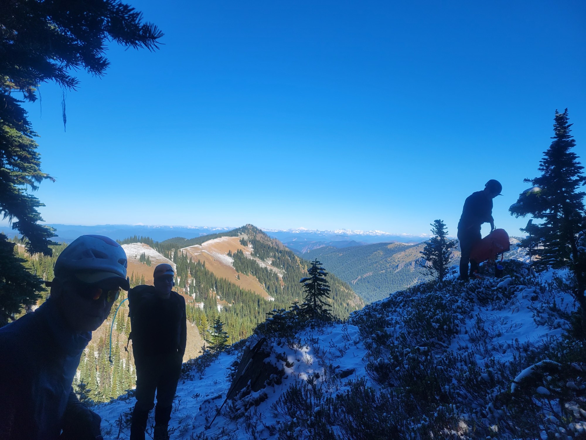 (By Leaf Petersen)
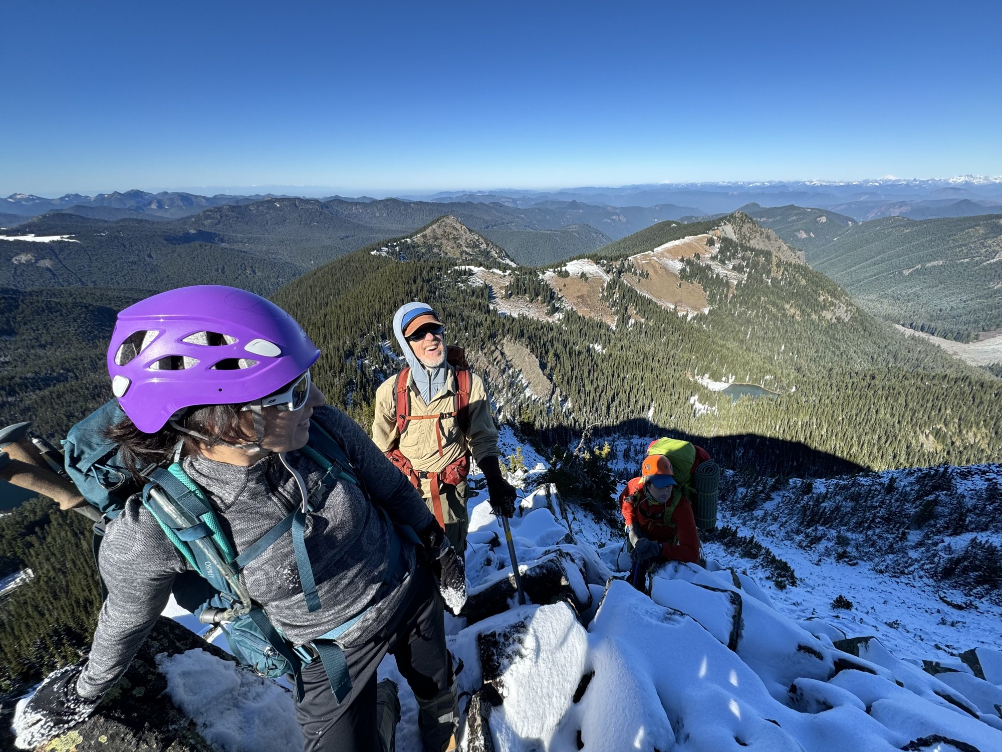
A bit of sun on the steepening ridge…
(By Jesse Bengtsson)
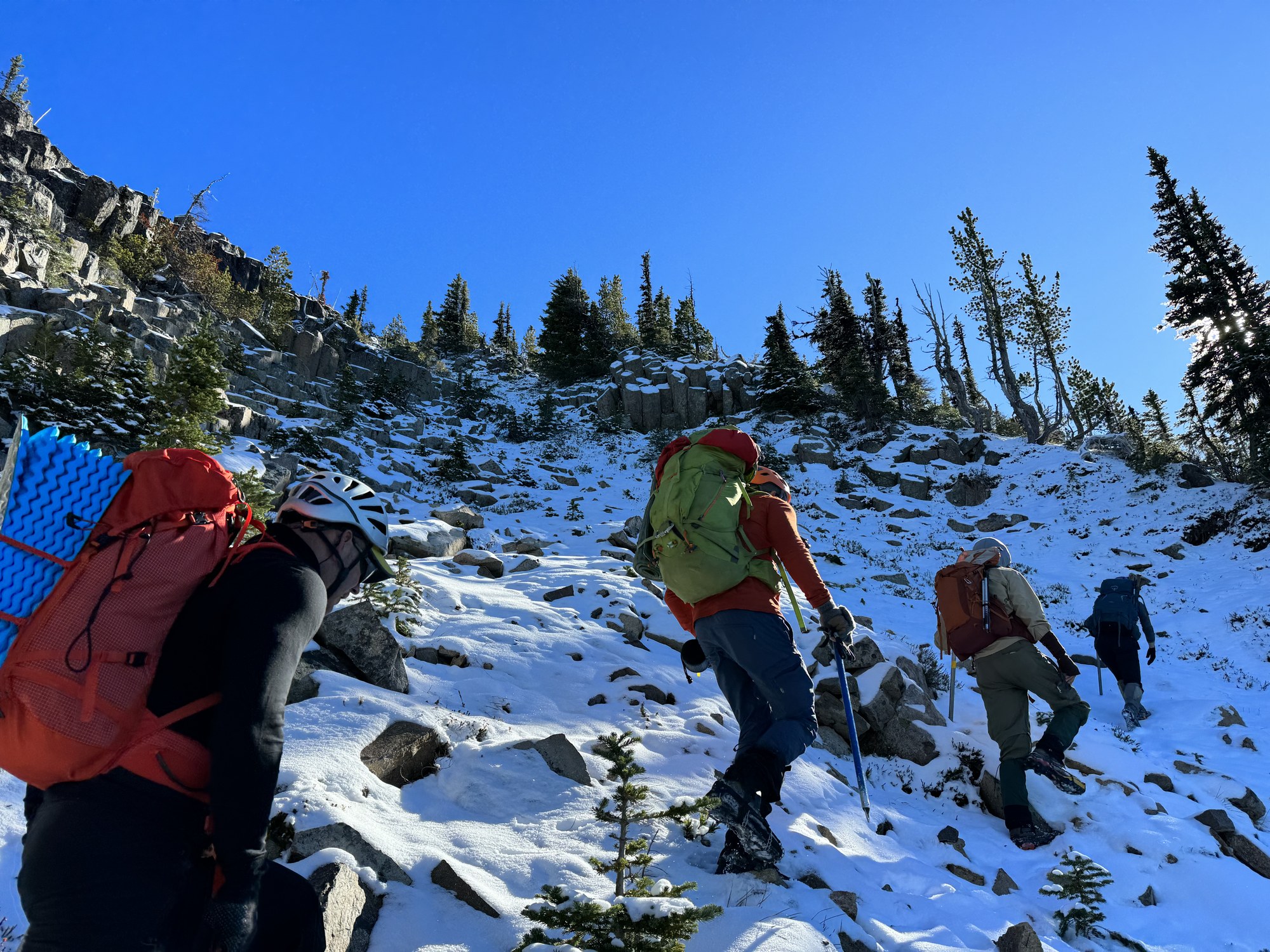
… with intermittent bowls bordered by columnar basalt taking us back into the shade.
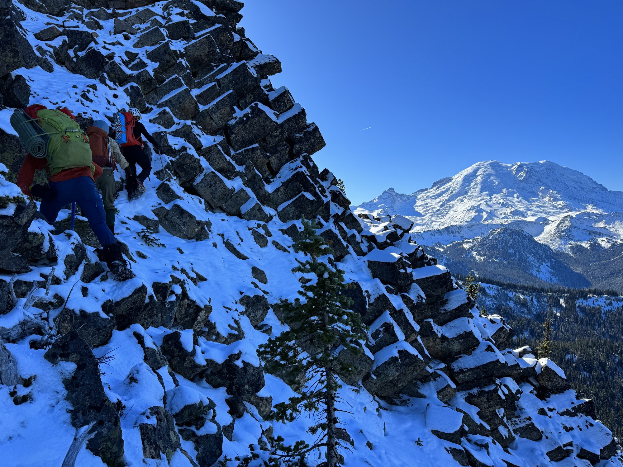
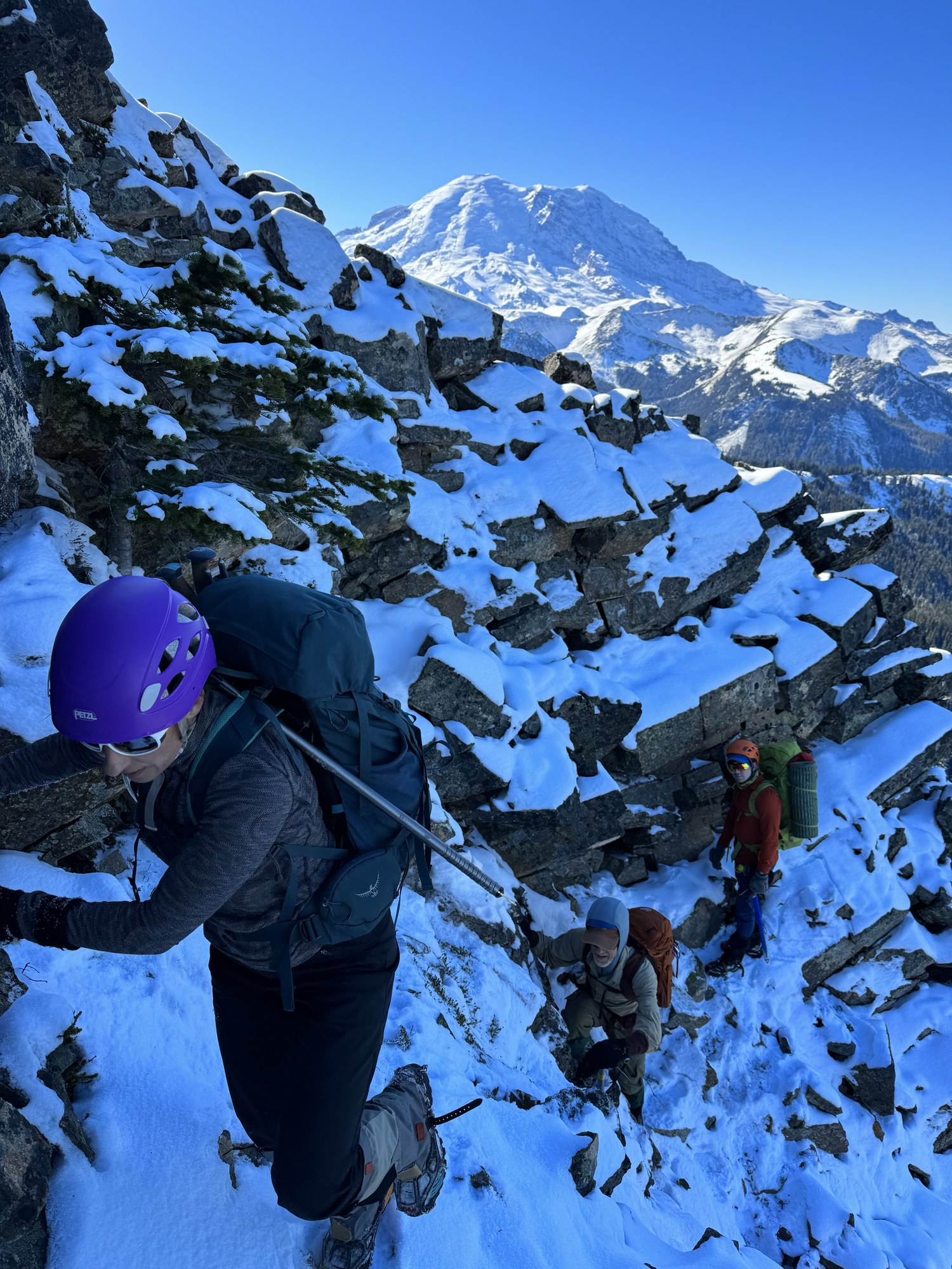
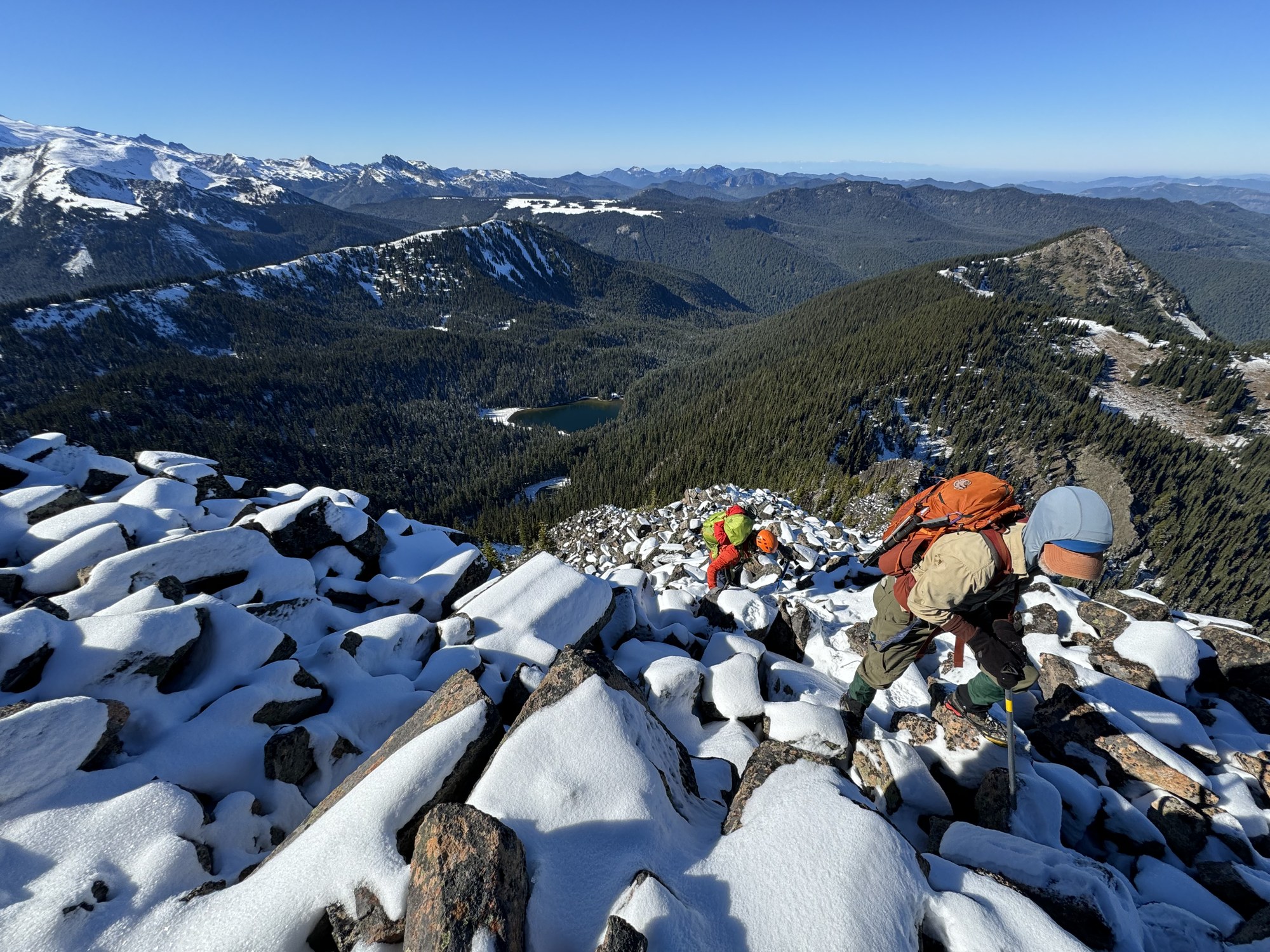
Finally, back into the sun with the hardest parts behind us.
Our afternoon destination comes into view, Point 6218 (seemingly just below Grand Park in this photo).
Still a ways to Pallisades Peak…
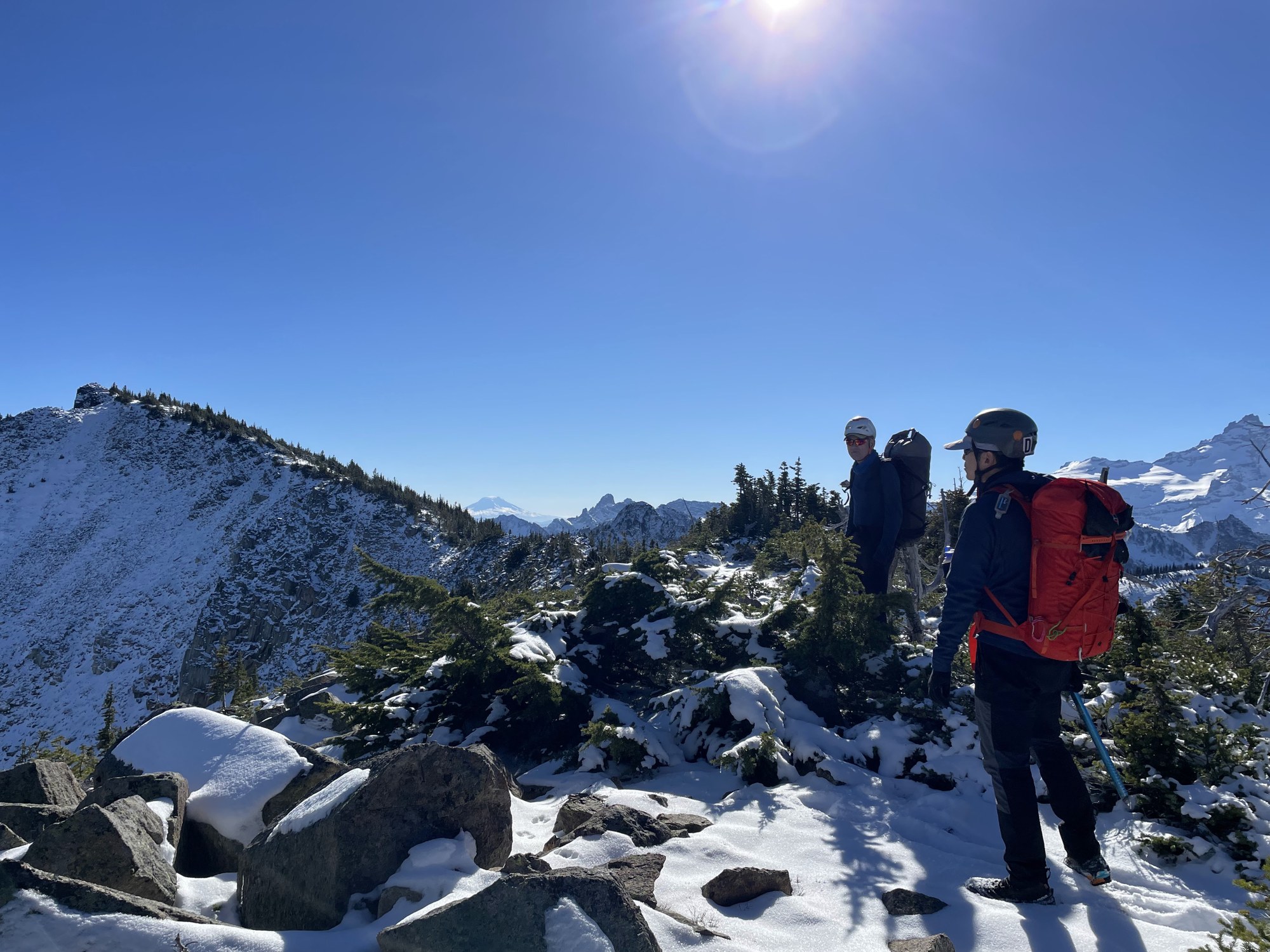 (By Jesse Bengtsson)
… and a welcome break at the summit.
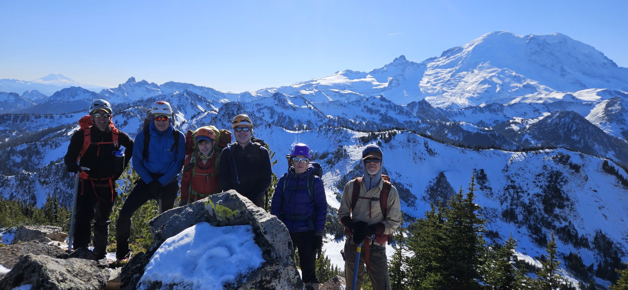 (By Daniel Moon)
With ~3 hours to sunset (yikes) we opt to skip Marcus Peak (and its slow going snow over rock)…
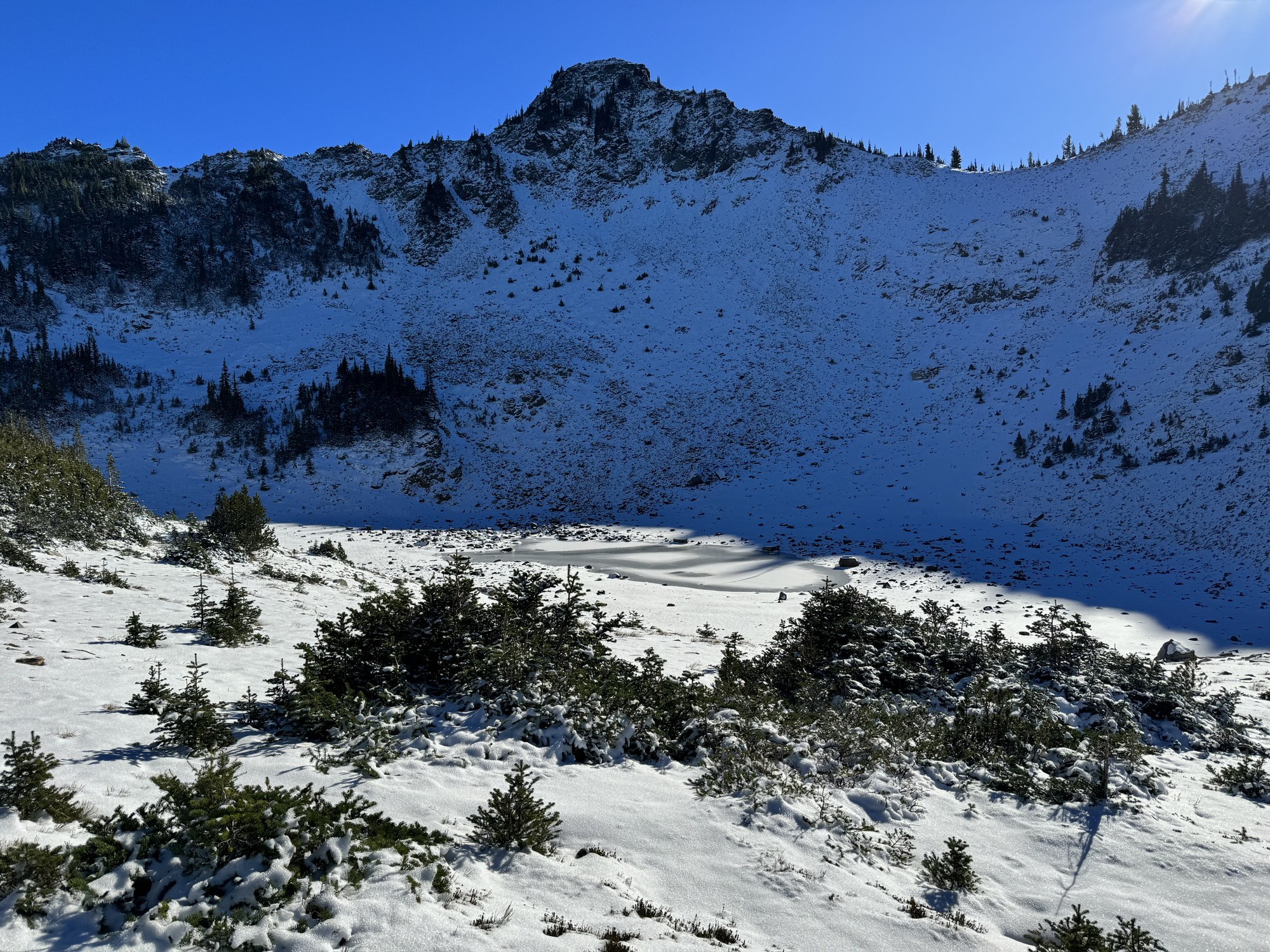
… but make good time to the ~6700’ viewpoint a half mile NW of Marcus (it is now 2 hours to sunset).
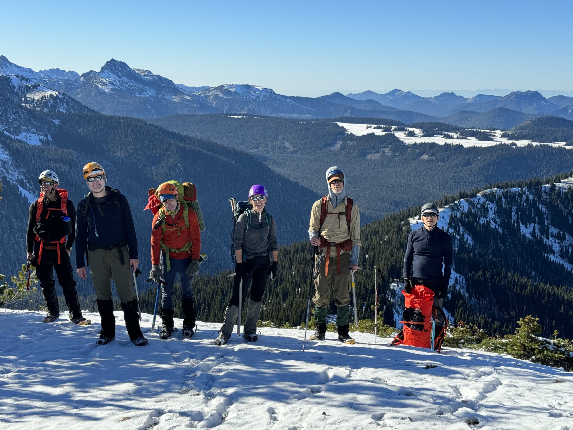
Point 6218, ~2200 vertical feet above the Huckleberry Creek trail, yet only 3/4 miles (as the crow flies) . Highly motivated by the remaining hour to sunset we begin our descent through steep brushy terrain (on a bearing of ~300° true).
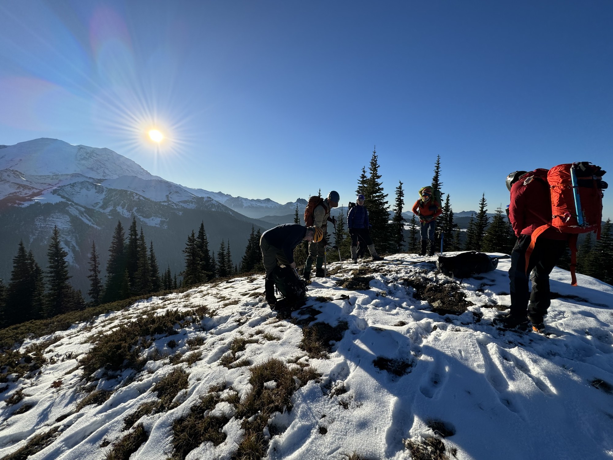
Part way down, a last glimpse of the Mount Fremont Lookout as the sun sets…
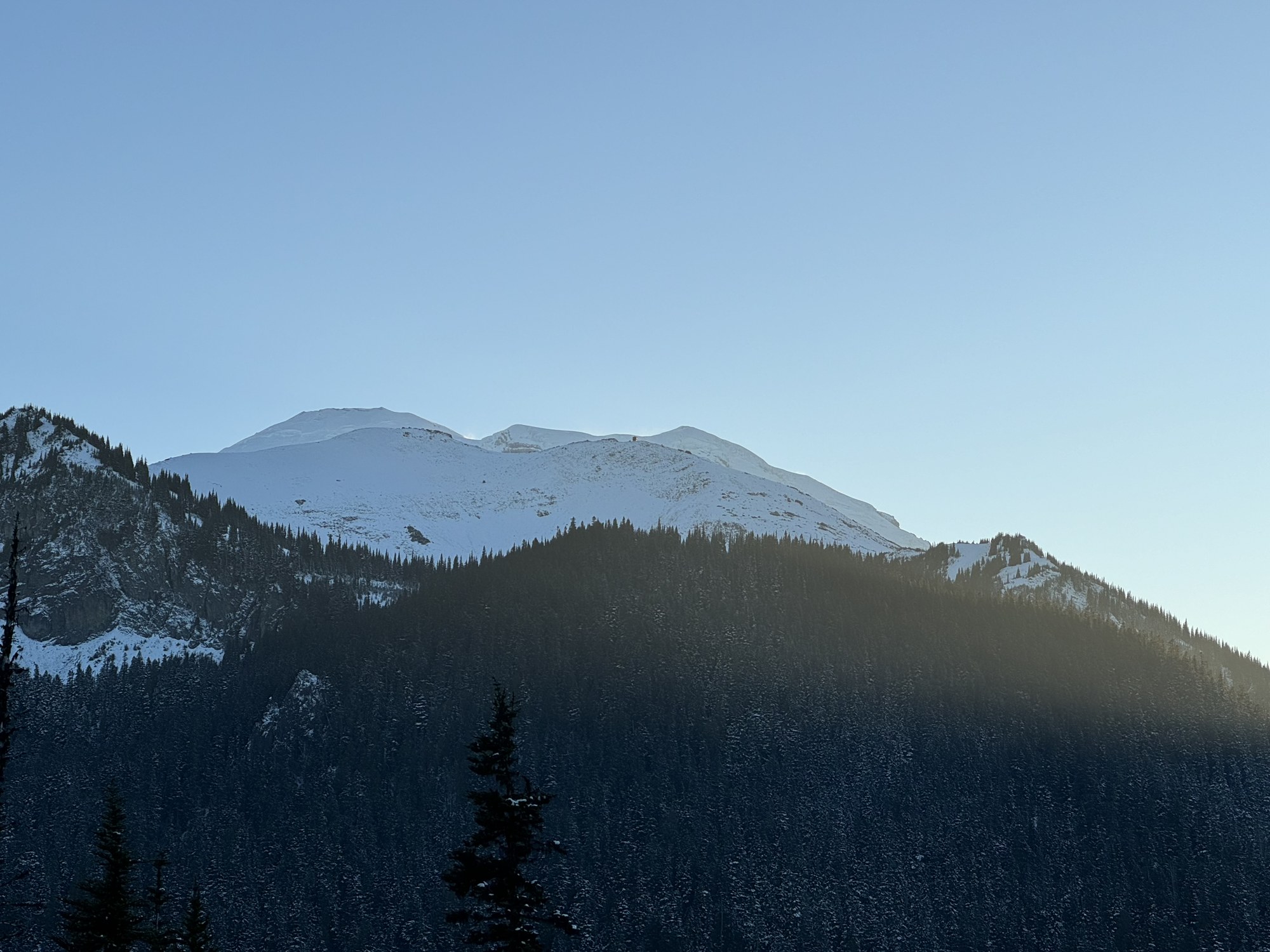
…and yet we still have a bit of dusk which gets us below a final cliffy spot before all is dark (and the headlamps come out). Half an hour more through relatively gentle slopes and open forest sees us at the Huckleberry Creek Trail (elevation 4,040’) at 6:30pm. Another 1:45 of well maintained (and mostly flat) trail sees us back to the cars at 8:15pm.
A great day in the mountains with stunning scenery and not another party in sight on this 14 mile, 5000’ elevation gain trip. Our total time was just over 13 hours with 4 hours to Point 6327, 3 hours to Palisades Peak, 2.5 hours to Point 6218, and just under 4 hours back to the cars. Photos from this and other trips to this venue can be seen here.
 Dave Morgan