Trip Report
Winter Scramble - Slide Ridge
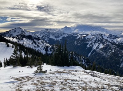
A great new Winter Scramble on the ridge containing Slide Mountain near the Ranger Creek Airstrip on Highway 410. Stunning views in all directions with ~4000’ of gain over ~11 miles (round trip).
- Sat, Jan 16, 2021
- South Slide Mountain
- Scrambling
- Successful
-

- Road suitable for all vehicles
-
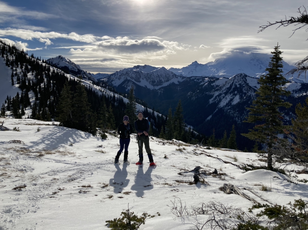
Recent rains have substantially reduced snow depths, as well as reducing avalanche hazards (negligible in any event for this route). Snow free until ~3600’ with ice-like compacted snow on the trail requiring micro-spikes at that point. The most challenging part of this trip was a ~0.5 mile section of the Suntop Trail at ~4800’ (just West of Fawn Ridge). Snow completely filled in the trail cut, and recent rains left an icy crust. Some found snowshoes the best tool for this part, using an odd ankle/leg twist to keep snowshoes flush with the snow surface (tips/traction bars angled uphill):
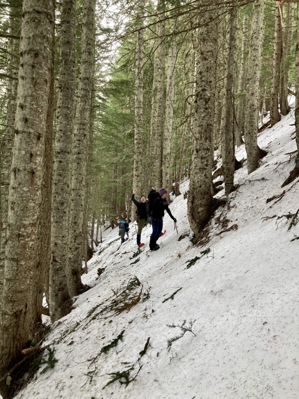
while others slogged it out by simply kicking steps through the crust (boots, not snowshoes). Descent through this section was made easier by warming conditions and footsteps left over from the ascent. Snowshoes were used continuously above this point.
The day started from the Suntop Trailhead on the west side of the Ranger Creek Airstrip. Although we parked on the east side of the airstrip (after negotiating nasty world class potholes through the camping area), in the future we’ll drive and park on the road just west of the strip. We left the Suntop Trail just east of Point 5585 at an elevation of ~4760’ (current trail is lower than the ~5000’ shown on maps) to follow a forested ridge that brought us to the crest at ~5500’:
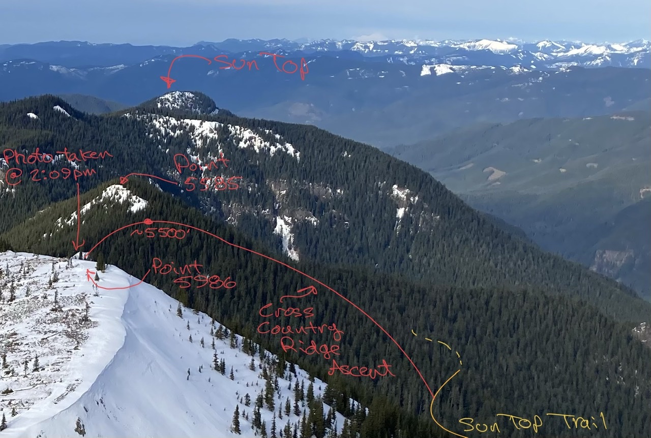
The remainder of the trip simply followed the ridge crest (replete with animal tracks). First up were views of Snoquera Falls, Little Ranger Peak, Noble Knob, and Mutton Mountain:
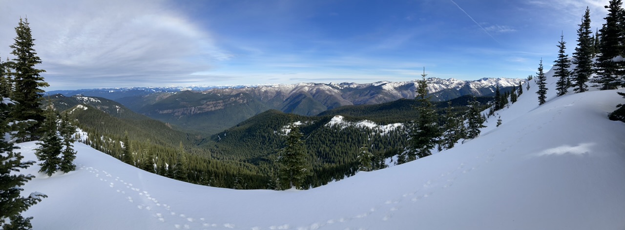
The views got even better at our official ‘summit’ of Point 5986 with great vistas of Mount Rainier to the south:
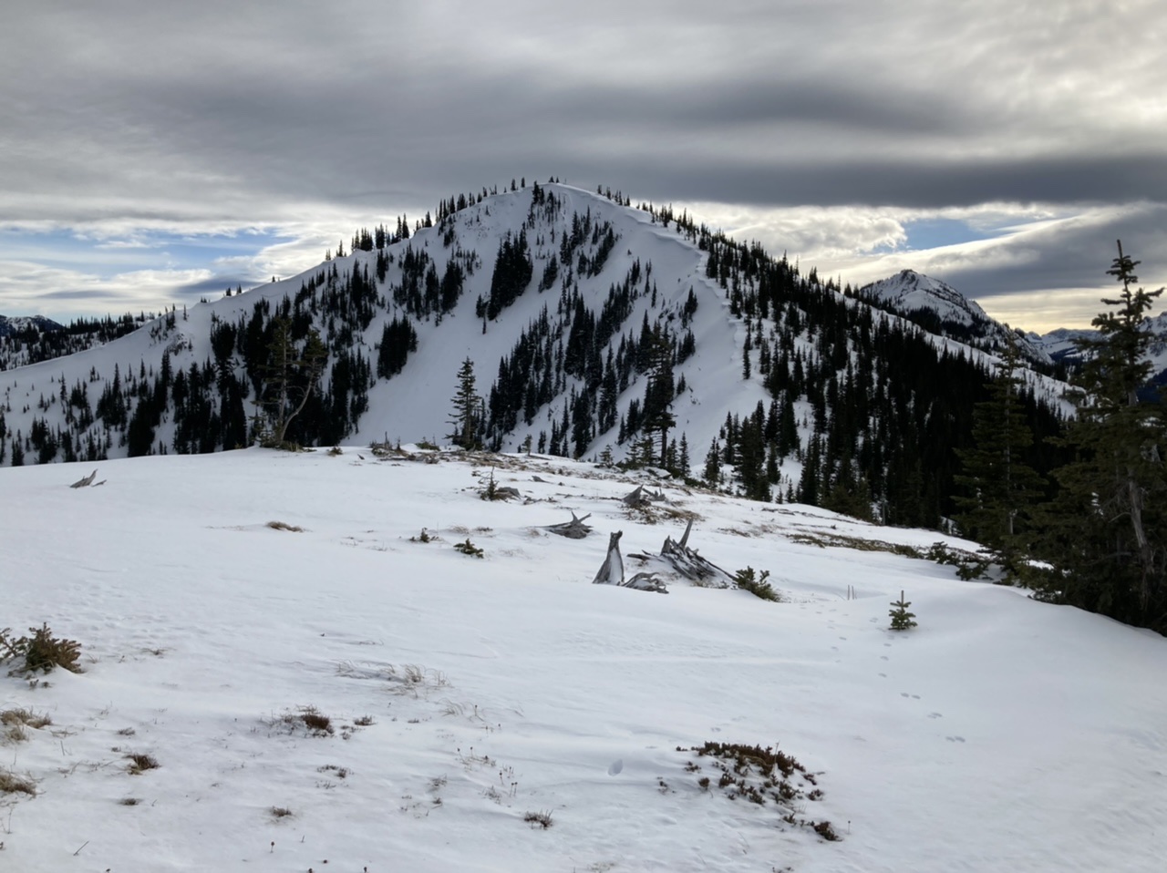
A few of us with extra calories continued on a 30 minute round trip jaunt south to the slightly higher unmarked summit (ca 6240’):
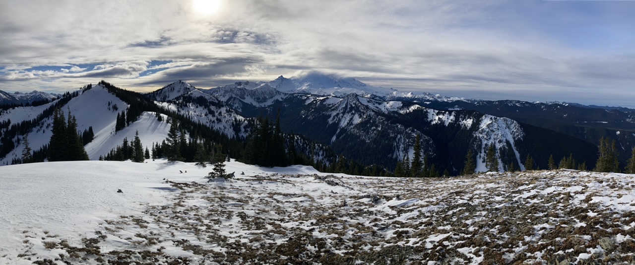
yielding an even better panorama:
This was the limit of our trip, so at 1:20pm we headed down to rejoin the remainder of our party:
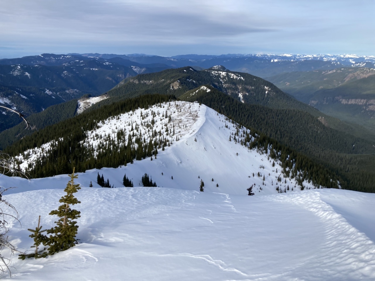
Stronger parties on future trips might consider an additional mile (~2 miles round trip) to the official summit of Slide Mountain along a ridge crest affording negligible avalanche hazards. A great day in the mountains (5 stars were it not for the crusty snow traverse hard part), with a total time of 9 hours (5.5 hours on the ascent, 3.5 hours on the descent, sunset arrival at cars). Photos from this and other trips to this venue (all seasons) can be seen here.
 Dave Morgan