Trip Report
Sea Kayak - Hakai Protected Area
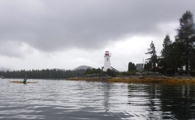
Hakai is a beautiful archipelago similar to the Broken Island Group but much larger. It also includes narrow channels that (winding there way over amazing distances and connect bodies of water) and inlets. We spent 17 days paddling 174nm Klemtu-Calvert Island-Shearwater-Bella Bella.
- Fri, Aug 2, 2019 — Mon, Aug 19, 2019
- Sea Kayak - Hakai Protected Area
- Hakai Protected Area
- Sea Kayaking
- Successful
-

- Road suitable for all vehicles
-
Much of this trip was outer coastal, but there we no surf landings. The weather was benign during our trip, but it can be quite rough.
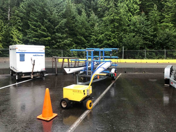
B.C. Ferries provides transportation from Port Hardy to Bella-Bella, Shearwater, and Klemtu. Booking is a good idea to ensure they have kayak carts for you. If your plans change, they will fit you on board somehow. Call for reservations and be sure to indicate you are bringing kayaks, which cost an additional $10. Once in Port Hardy you can load (mostly) empty boats on Ferry racks on wheels, done best the evening before. Ensure you get tags from the terminal with the destination. In the morning be there by 5:30am for the 7:30am departure. Load gear into the correct baggage train car matching your destination. Fuel bottles have to be handed to the crew for flammable storage. On the return trip a kayak reservation is not absolutely required but it ensures there will be a kayak rack shuttled up from Port Hardy. In any case, they will get you and your boat on if plans change.
Dining, shower, and comfortable seats are available. There is no Wi-Fi.
B.C. Ferries no longer do wet drops along the way.
Most days had 8am launch time to avoid afternoon winds. Conditions were as mild as it gets for our particular trip. Some light winds-nearly always against us no matter our direction of travel- and seas that never exceeded one foot (except 2’ clipotis on one or two occasions).
Day 1 port Hardy to Klemtu boat ramp. 1nm 8/2/2019
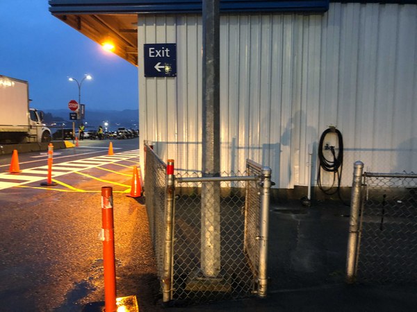
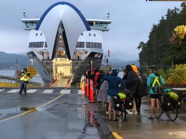
Left cars at North Coast Backpackers Hostel. Shuttled gear and people in our VW van at 5am. Gear loaded into baggage cart. Fuel given to crew for storage in hazardous goods locker. Good food onboard. Landed 3pm and moved boats and gear down kayak-unfriendly rocky slope at high/outgoing tide. Paddled 1nm to Klemtu village boat launch. Various First Nations visitors welcoming and warned of bear in area. A 2am contingent was belligerent; alcohol may have been involved. Bugs a particular nuisance.
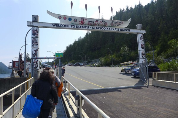
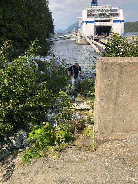
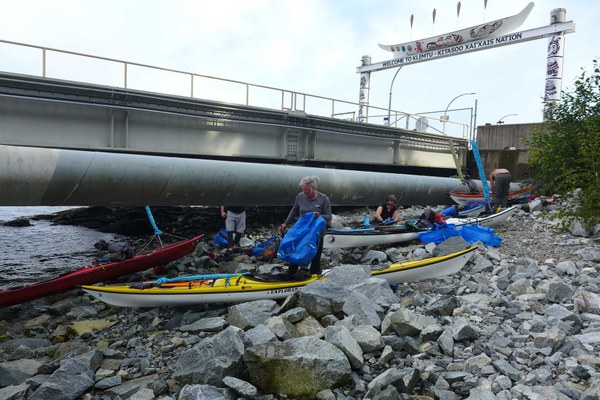
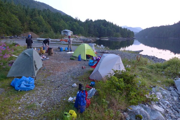
Day 2 Klemtu to Dallas Island. 18nm 8/3/2019
Modest ebb helped mitigate 10kt headwinds. Dallas Island camp 4* with beach and wood tent sites and spectacular view.
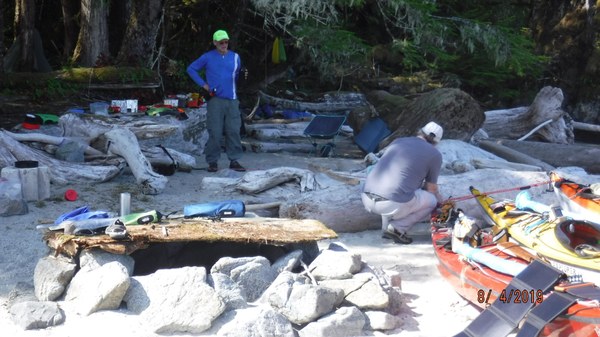
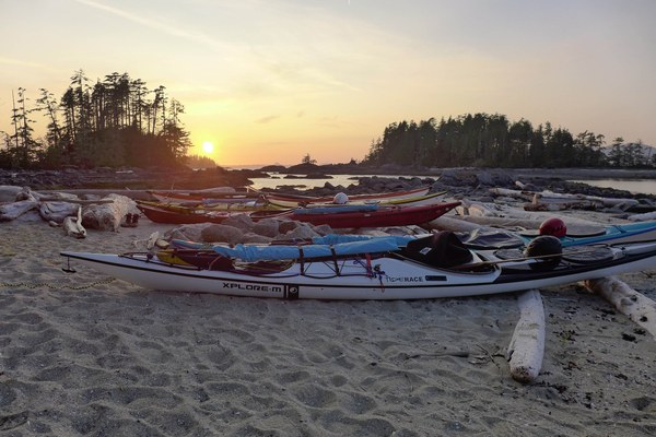
Day 3 Moss Passage watering expedition 8nm. Good water. 4 sites identified. 8/5/2019
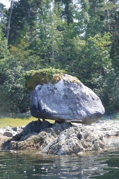
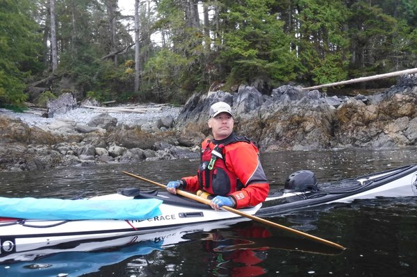
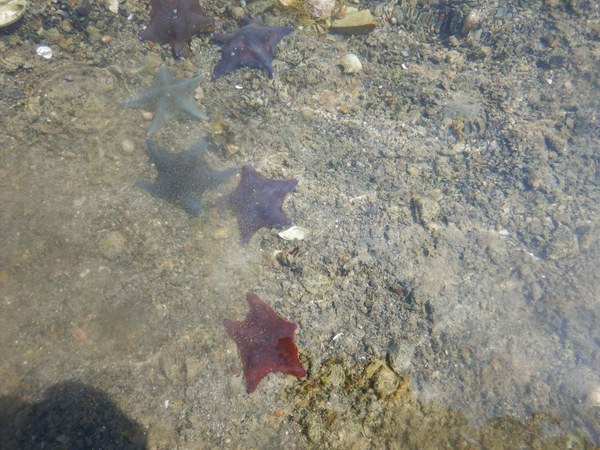
Day 4 Dallas Island to Yaakele Lagoon. 12 nm 8/6/2019
Swung past Ivory Island manned lighthouse. Crossed to Cape Swain and traversed Athlone Island coast. Stopped in at the King Pacific Fishing Lodge for water.
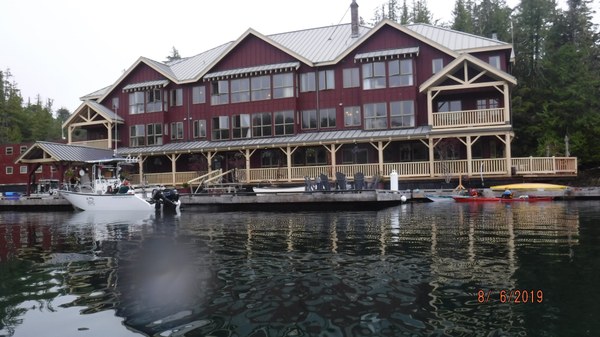
Camped in Yaakele Lagoon with spectacular view of tidal rapids waterfall. Played in foam pile and current at base of falls. Absence of debris line- tents moved from beach to grass.
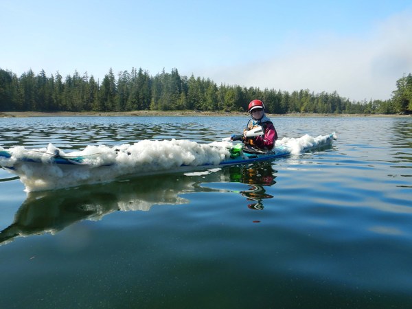
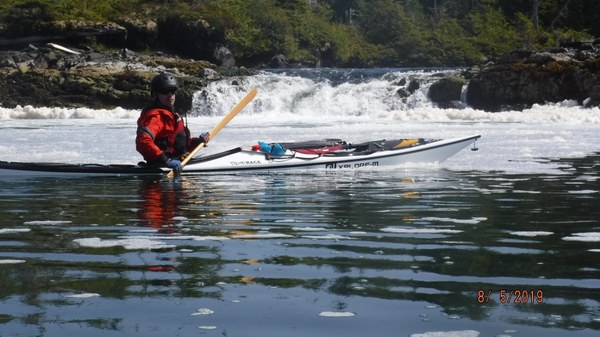
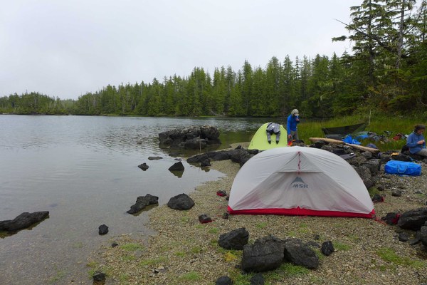
Day 5 Yaakele Lagoon to McMullin Island 16nm. 8/7/2019
Beautiful outer coastline. Checked out Wuertle Island Central; rocky access at low tides. Stopped at Cape Mark campsite and decided to move on- long carry, not much beach left for tents st high tide. Reached main campsite at McMullin; 12 member tour group arrives just after us. “Spirit of the West” insists they need the space. We move to satellite camp on island six SE. of main camp on Island 23. View not quite as good but four star otherwise.
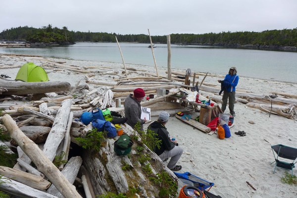
Day 6 McMullen Island to Snipe Island 10nm 8/8/2019
Paddled the West coast of Goose Island and found good water at second cove down at 58’ latitude. Great camp at Snipe except that motorboats come here to anchor up; one skiff of people were camping down the beach. Walking anti clockwise there are fresh-ish water cisterns suitable for clothes washing and in a pinch drinking water.
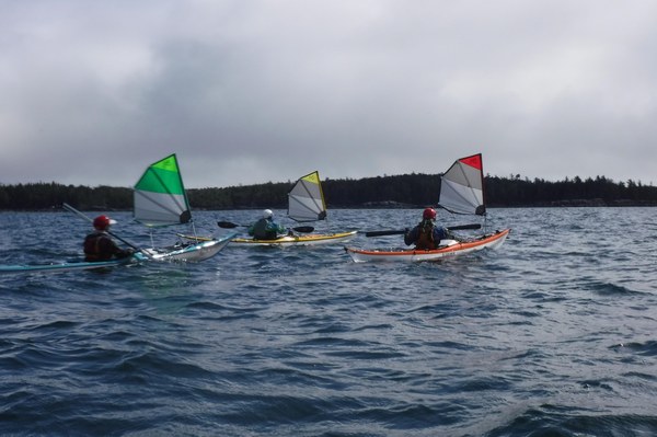
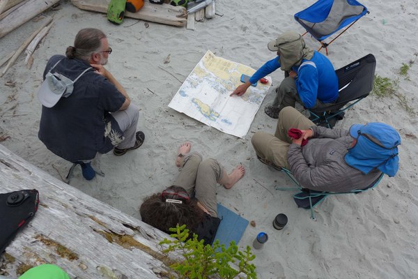
Day 7 Snipe to west coast of Goose day trip 10nm 8/9/2019
Intertidal areas around these islands requirement to hire tides to traverse. We had a small portage between Gosling and goose islands. We attempted to go north in the passage between Swan and Goose but had to turn back at the inter-title area between the north tip of Swan and Goose was dry. Paddled our between Duck and Swan. Turning south we were paralleled by a porpoising Sea Lion. Rounded the southern tip of Gosling and back to camp.
Day 8 Snipe to Serpent Group 12nm 8/10/2019
Our last open coastal rock gardening. We saw a wolf on a exposed reef off the southern tip of Triquet. Once he spotted us he swam to shore. Past the spectacular Purple Bluffs formations.
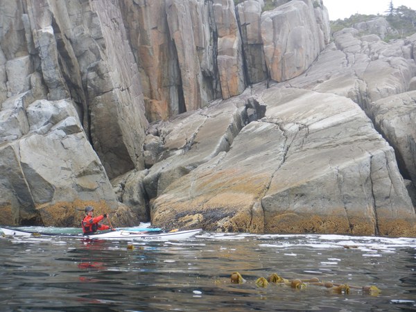
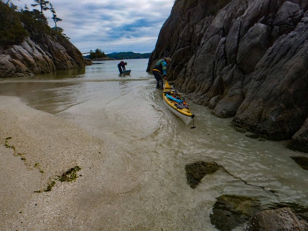
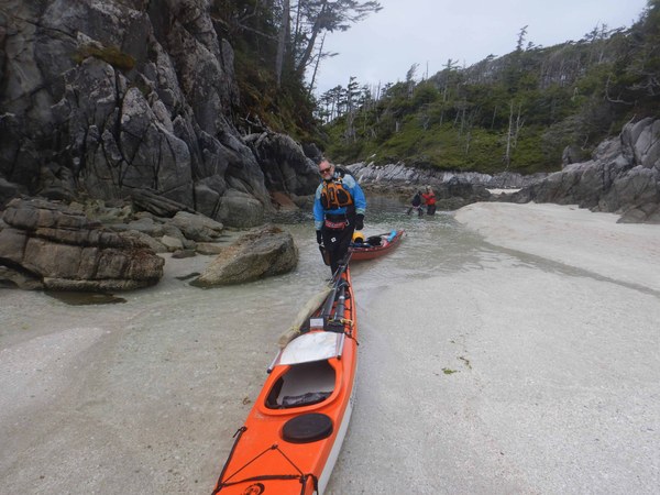
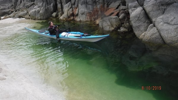
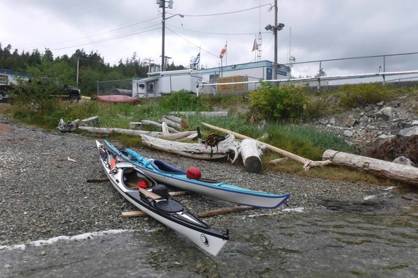
At Serpent, we had difficulties as described by BCMT with the approach. We unloaded boats at the first beach and carried/floated boats to an otherwise 3* campsite. Best to arrive at this site at 11ft or higher (Spider Island tides) for much easier access. First two photos below are from our return (lunch stop) when the tide was indeed higher.
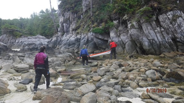
Day 9 Serpent Group to Wolf Beach 10nm 8/12/2019
Lots of crossings. Sailed last 4nm. Breaks were on the water; no place to get out until the third bay past Sand Spit. At this bay we obtained good creek water. Wolf beach 4*. Brackish water creek at east end for bathing. Big sandy beach plenty of campsites. Set up big tent for rain.
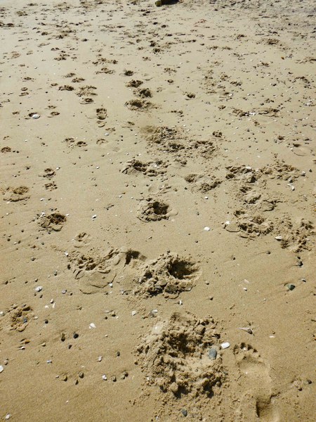
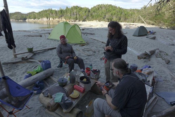
Day 10. Day trip to North Beach 3nm 8/14/2019
Hiked from North Beach to South Beach then east to Hakai Institutes. Water, internet, flush toilet. Hiked back out and hiked south on coastal trail and up-to lookout. David called the wolves and they answered! Rest day otherwise.
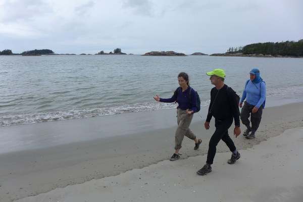
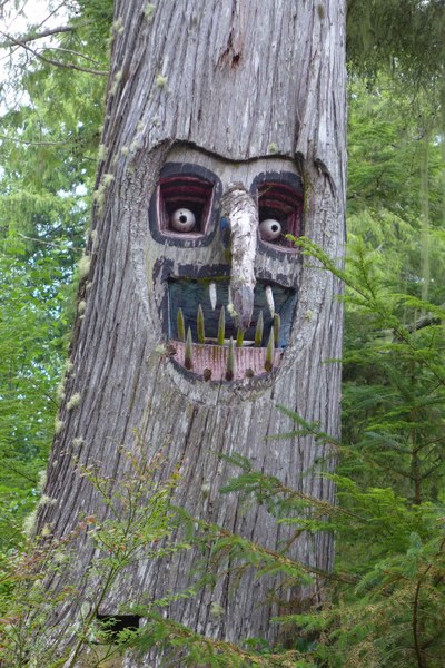
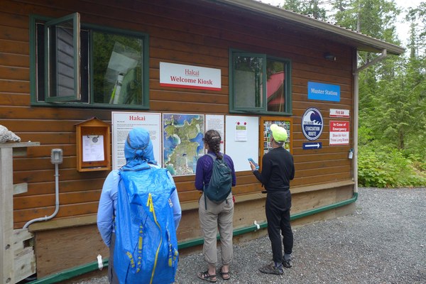
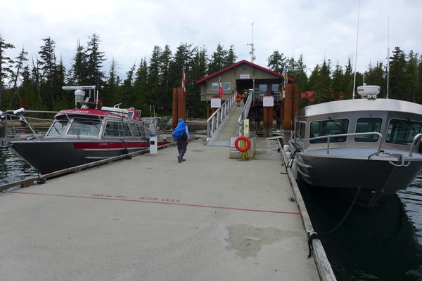
Day 11 Wolf Beach to Cultus Sound 18nm 8/13/2019
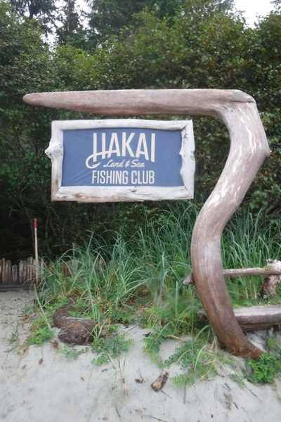
Stopped at Sand Spit (Hakai Fishing Club) about a mile out. Decorative handrail to dock. Visited lodge looking for paintings by Kayak Bill. None.
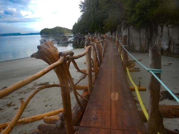
As we departed 7 big power boats left the dock. We stopped next at serpent group just as the location was filling with water for an easy landing The group referred to avoid the difficult launch in the morning, and push onto the preferred campsite at Cultus Sound. Stopped at Spider Island trail. Creek water only a trickle. Trail to abandoned radar site overgrown. Benevolent fisherman gave us half a salmon to eat the next morning for our breakfast!
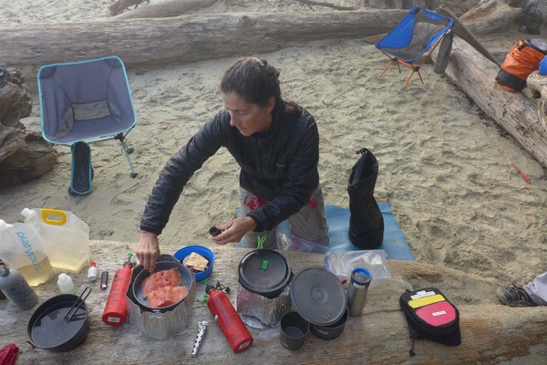
Day 12 Cultus Sound to Island 48 Louise Channel 18nm 8/14/2019
We took more of an inside passage back. Islet hopped to avoid wind that was increasing during the day. Lunched at Roberts Island, Rated as a secondary site on the BCMT site. We found just small boulders and a postage stamp piece of sand that floods at Spring tides. Close reach sailing to island 55 we experienced Yet another disappointment with the BCMT listing. Only the most slender of tent sand spots would work but not at Spring tides. Pushed on to Island 48 Louise Channel. Shared nice campsite with two Canadians. Changed out a kinked skeg cable.
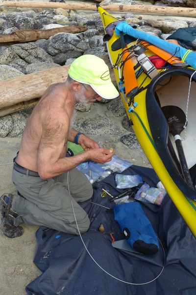
Day 13 Island 48 Louise Channel to Quinoot Cabin 5nm 8/15/2019
Finally the wind was fully behind us. 8 kt push most of the way. Lovely little cabin all to ourselves.
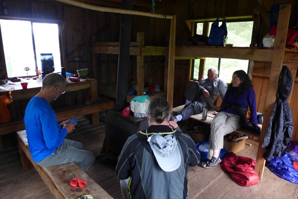
Day 14 Day trip to Cree Point 6nm 8/16/2019
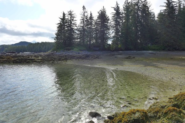
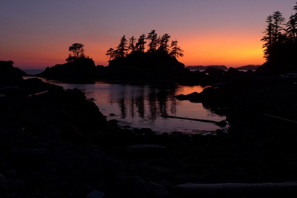
Paddled down Ramon’s Passage to Mathison Bay. Cool water source only accessible from a boat because it trickled waterfall-like into deep salt water. In Raymond Passage about 1nm south of the cabin. Cree Point campsite has one good site hacked out of Salal. North facing. Looked like another Kayak Bill site the way flat boards were lashed together to create a wind break. Room for only one tent. No beach space. 10kt downwind sailing coming home. Note: there are several passages between the cabin and Raymond Passage. Some only work at high tide. South of the actual Quinoot Point works at all tides.
Day 15 Quinoot Point to Rainbow Island 13nm 8/17/2019
A pleasant stroll through a narrow (at times) channel, calm winds, and no current. We left an hour before low tide. Entered Seaforth Channel after low tide but we still experienced a one kt ebb. Current seems to lag the tide. Jeannie and David head for the ferry; the rest of us continue with the trip per our original ferry bookings.
Day 16 day trip circumnavigation of Meadow and Cypress Islands, visit to Shearwater 6nm 8/18/2019
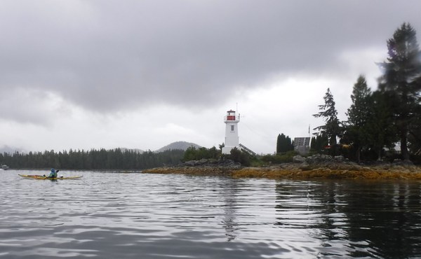
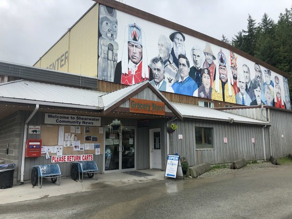
Shearwater is a marine service center. There is a dock system where private and tour groups tie up and get fuel. We came in from the west end and docked by the fish cleaning station in error. We should go further east to our allotted place at the west end of a dilapidated dock adjoining the Harbormaster’s shack. Free camping is available 350m up the road; no power just picnic tables and grass. Borrow a “Radio Flyer” cart from harbormaster to haul gear. Coin op showers are in the same building as the coin op washers and dryers. We dried clothes while showering. Across the street is the modest grocery store and the pub. It appears feasible to take a BC Ferry to Shearwater, unload boats, and launch. The ferry dock is 100m east of town. If staying to camp the night in Shearwater, then leave gear next to the ferry dock, paddle the boats to the harbor, bring the cart to fetch the gear, and haul to the campground.
Day 17 Rainbow Island to Bella-Bella 8/19/2019
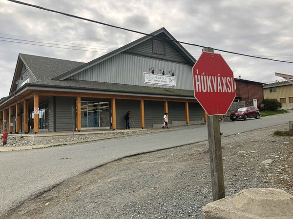
A leisurely paddle back along the Old Bella-Bella (mostly deserted) waterfront and the Coast Guard station. We arrived plenty early for a foray into town. Karen and Charlie hitchhiked to town, and walked back the 3.5 km road. Brian stayed behind and managed to intercept our bags before they went on a boat to Bella Coola! We arrived back in Port Hardy around 11:30pm.
 Charlie Michel