Trip Report
Pre-Trip Skills Practice - Whidbey Island West Shore
Paddle along an beautiful shoreline with expansive views of the San Juans and Olympic Mountains.
- Sat, May 15, 2021
- Pre-Trip Skills Practice - Whidbey Island West Shore
- Whidbey Island West Shore
- Sea Kayaking
- Successful
-

- Road suitable for all vehicles
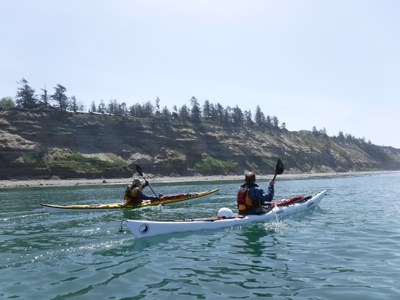
Last Saturday (5/15), 5 of us paddled the west coast of Whidbey island from West Beach of Deception Pass to the Keystone ferry landing. It is a long paddle down a mostly straight coast but for some reason it sticks in my mind as something special. I first lead it 3 years ago but have not been back. We paddle the eastern edge of the Straight of Juan de Fuca. There are vast views of the San Juan islands, the open water of the Straight to our west, and the Olympic mountains ahead of us. The coast is alternately naval air station, dotted with houses, and isolated bluff. The northern half is extensive sand beach and the southern extensive rocky beach.
(photos by David Sohlstrom)
On this day, slack at Admralty Head was at 2:20pm and max food at 6:00pm.
6:00am ferry from Mukilteo or the 6:30 ferry from Port Townsend get us to the boat launch near by the Keystone ferry landing for a 7:00am meetup. (Bathrooms, Discovery pass). We shift boats and shuttle up to West Beach. (Bathrooms, Discovery pass). It is early in the morning and the world is empty of people.

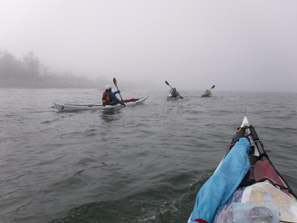
9:10 we launch in fog. We can see a fleet of sailboats organising for a regatta. Today, winds are very light and the sea has a slight swell from overnight winds.
There are several suitable places for breaks. Beach access parks offer alternate launch sites.
Fog clears in the late morning. The sail boats are racing south along our route but in this light wind we are moving far faster than they. At lunch, we watch them ghost past us, sails slack. That is, except for one boat that went well off shore, has found some wind out there, and is pulling ahead of the reset of the fleet. After lunch, we pass the regatta fleet again.
Views are vast. I think this is why I like this route so much.

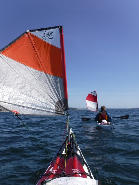
We turn the corner and head into Admiralty Inlet - the last stretch of our trip. We are getting tired but now a light wind comes up and flood current speeds us along. We arrive at Keystone about 3:40pm.
I’ve only done this trip north to south. The advantage of this direction is that you can catch a boost from the flood current in the last miles, when you are most tired. We were fast along the route and arrived early for significant current. Still, I liked the timing of the current: if we were slower, we would have gotten more assist. This is better than timing that would lead to a slow party missing the flood.
On both trips, we picked up a moderate breeze through Admiralty Inlet. I think this is common.
South to north, you can get a current assist from ebb current through Admiralty. After that, I think there will be little current, even as you approach Deception Pass.
 Tom Unger