Trip Report
Basic Glacier Climb - Mount Baker/Easton Glacier
4-person rope team did a single day push for the summit with clear conditions. AllTrails activity: https://www.alltrails.com/explore/recording/whatcom-county-hiking-55a7cf9
- Sat, Jul 29, 2023
- Mount Baker/Easton Glacier
- Day Hiking & Climbing
- Successful
-

- Road suitable for all vehicles
-
9 mile dirt road to the trailhead is reasonably well maintained. Saw a Honda Civic and Tesla sedan at the parking lot. There are a few potholes to watch out for but the majority of the road is in good condition and can be driven on with a low clearance, regular vehicle.
Trail is snow free to a little bit past Sandy Camp. Glacier is bare ice in some spots.
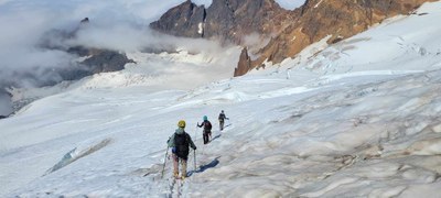
Summit was melted but route still had a significant amount of snow travel. Roping up is still absolutely necessary due to hidden crevasses.
July 29, 2023
Team arrived at trailhead around 8:30pm and slept in parking lot for a couple hours.
12:12am Packed up and ready to go, headed out on the trail in trail runners. Ascended Railroad Grade Trail ridgeline which was quite scary in the darkness since the stream/river on climber's right was very loud but looking down there was a steep dropoff into pitch black. Passed a few tents camped in designated flat camp spots along the trail.
2:25am Arrived at Sandy Camp, several tents visible. Lots of running water, plenty of places to filter. Stopped for sandwich break. We went off route a little bit by staying on the rocky ridge and then descended into the snow pack where there was a visible boot path.
3:55am Small crevasses visible at 6600' (48°44'49.2"N 121°50'16.8"W) which is where we roped up. Brought a 60m 8mm dry rope for my party of 4. Clipped in with alpine butterflies and carried coiled excess rope. Changed into mountaineering boots and crampons.
Continued following obvious boot pack. Snow was already softening despite it being early morning. It never got really cold overnight so snow did not get a chance to form an icy layer. Started seeing larger crevasses around 7600' but boot paths went around them on snow bridges.
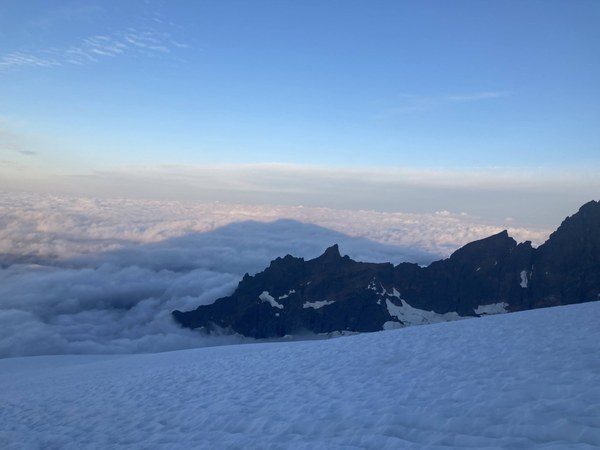
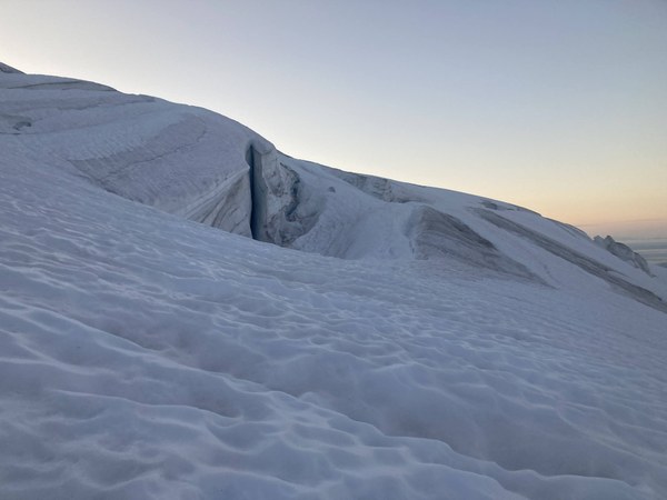
Not sure if we really went up Roman Wall, which I've heard is steep and can be scary. Last uphill push before the flat area right before the dirt hill that is the summit was not super steep. Most of it was melted with some snow here and there. Kept crampons on.
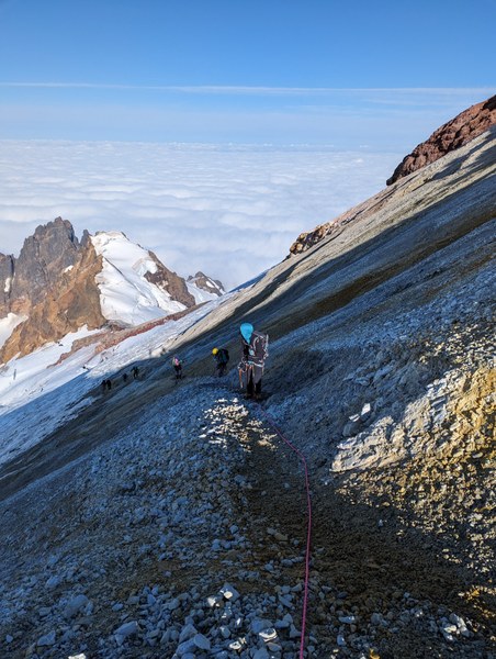
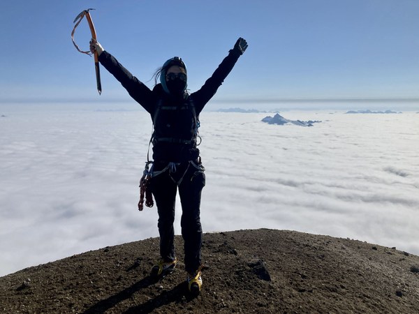
8:45am Reached summit. Took some photos with the group. Big cloud layer below us, could see only the tips of peaks sticking out of the clouds. Blue skies above us. Quite windy but not too cold. Descended back down to the flat spot below the summit hill for a snack break. 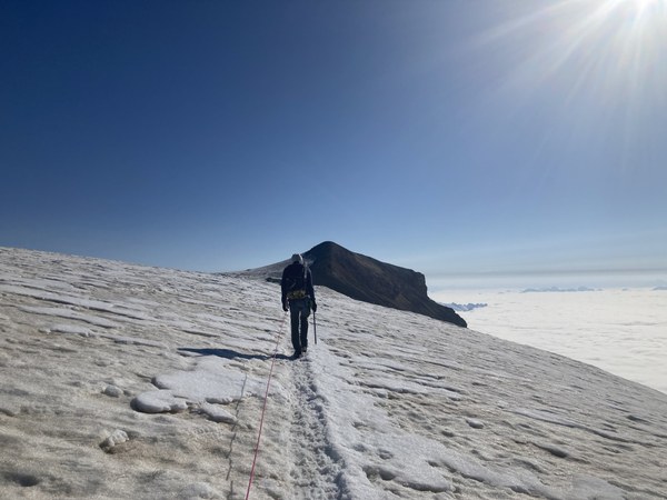
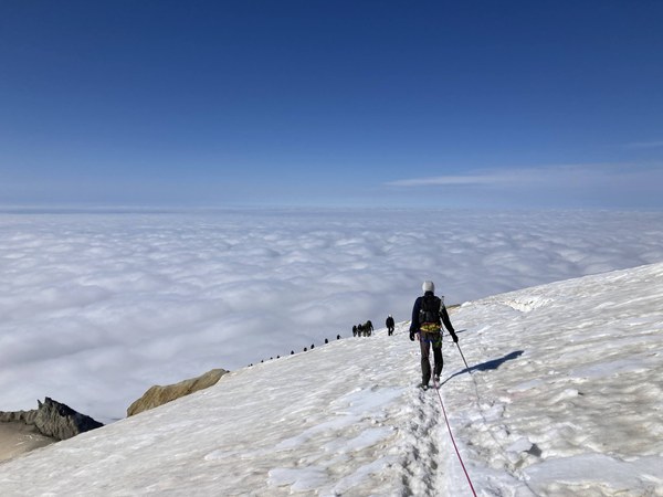
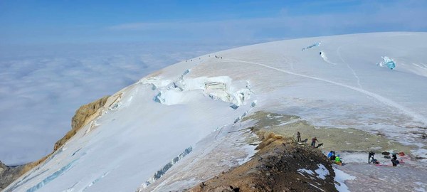 9:22am Started descending. Snow was very soft by now and parties were slipping despite wearing crampons. MANY parties coming up, basically in a conga line of rope parties. Bootpack was widening due to parties going up and descending parties having to pass.
10:14am Decided to stop at the crater at 48.769000, -121.820000. Smelled AWFUL. We had been smelling the sulfur smell on the way up, but poking your head over the crater was 1000x worse. Big plumes of misty sulfur air floating by.

Continued descending. Passed many parties on the way up. Followed boot path and GPX track back to where we roped up and unroped there plus changed into trail runners.
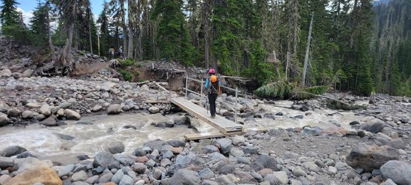
12:47pm Stopped at Sandy Camp to filter some water and take photos of the views at the lookout. Pretty easy hike back to the trailhead. 1 creek crossing over some rocks, 2 creek crossings over bridges. 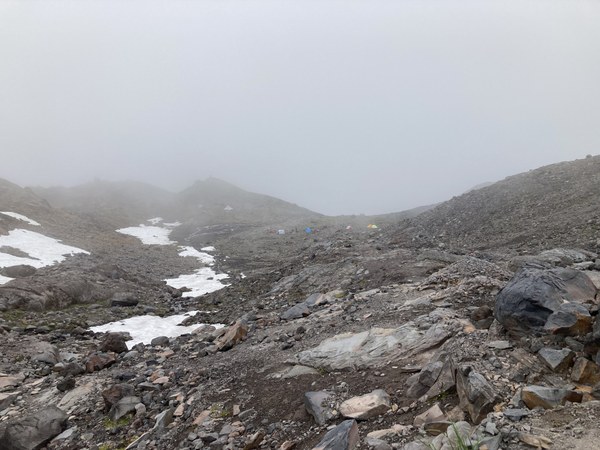
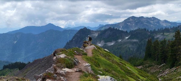
2:24pm Back at car! Drive home.
 Isley Gao