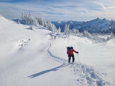
Trip Report
Intermediate Snowshoe - Paradise Area
A great outing requiring intermediate snowshoeing skills along with some route navigation and communications around avalanche concerns and observations.
- Fri, Nov 27, 2020
- Intermediate Snowshoe - Paradise Area (winter)
- Paradise
- Snowshoeing
- Successful
-

- Snow and ice on road
-
1) Valley road is covered with snow, snowshoes were required here soon after 100 yards from the east end of the parking lot at the Paradise visitor center.
2) The snow in the open slope to the south of 4th crossing trail was under the shade and dry snow, stable to go steep and get to mazama for adventure seekers
3) Skyline trail connecting Mazama Ridge to Panorama Point needs good group dynamics and agreement of route with avalanche considerations. The second half of this ridge walk was windy. The snow on the ridge was well consolidated compared to previous sections of the trip.
4) Snow going from Panorama Point to Glacier Vista is scoured currently with west winds. Traction advised.
5) Snow to the parking lot from Glacier Vista on Skyline Trail. The trail is broken up by many snowshoers as this is the popular section of the trail.Tracks of the route taken can be seen below:
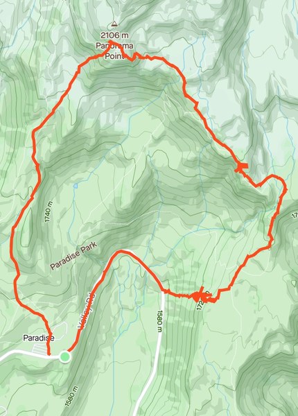
The group met at 8:30 am by the National Park Inn Parking Lot. We did the trip briefing there to save time when the gate opens.
The Longmire Gate opened at approximately 9 am and we quickly lined up as a caravan and drove to Paradise Parking Lot.
We started snowshoeing at 10 am along the valley road.
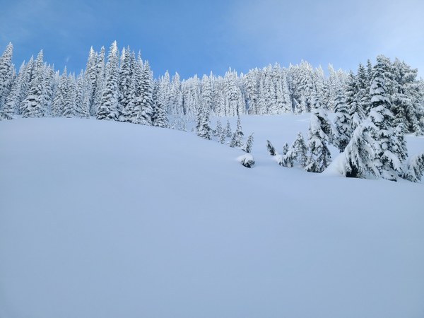
After some snowshoeing and passing the 4th crossing trail, we found an open slope (seen above) and made our way up skirting the trees (to the left of the image).
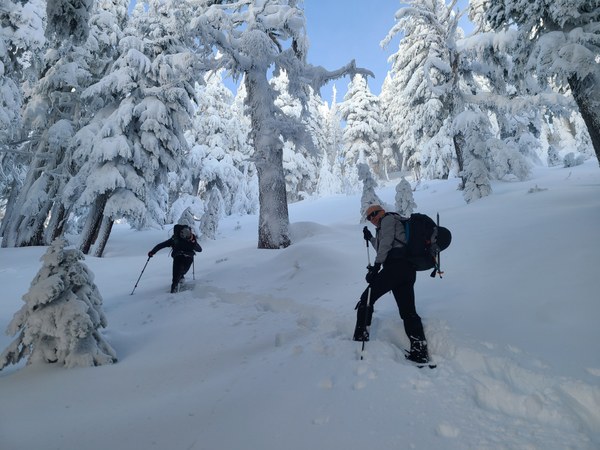
And scrambling our way through the trees at the top to reach Mazama Ridge. A great intermediate skill needed and found to be fun for all.
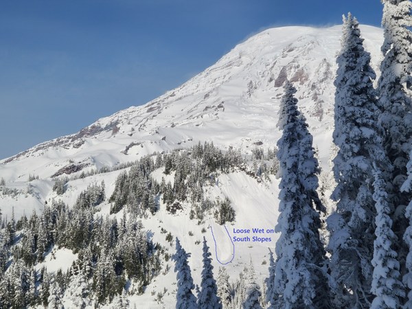
Seen above from the Mazama Ridge looking back at Rainier is some recent wet loose avalanches.
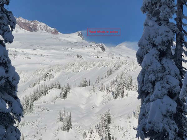
Also some winds of snow being transported by the West winds in play.
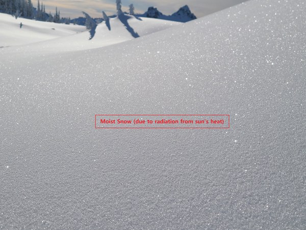
Another sign to consider was rising freezing levels and sunny weather, causing the snow to spark.
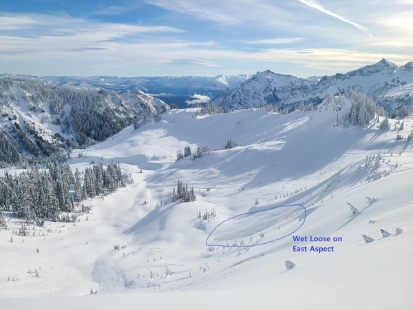
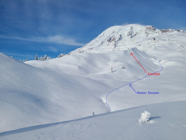
Our route to Panorama Point was roughly along the ski line seen from left down, traversing to the right middle of the image seen above. See the closer view of the drainage (water stream) below.
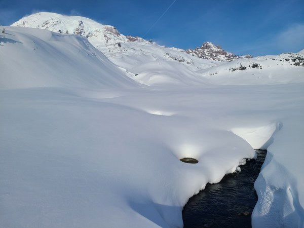
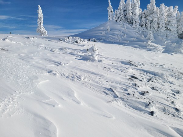
As we moved past that drainage, we took a lunch break on top of the ski line and started our final stretch to Panorama Point. It started to get windy (some signs are seen in the above pic).
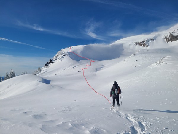
Our route was challenged by terrain and constant evaluation for avalanche hazard. A good group dynamics helped along the way as assuring everyone being on the same page and feel safe was crucial. A red line in the image above was the route chosen to reach Panorama Point above it as the wind was blowing the snow there and it is shaded for the part of the day and while we walked on it.
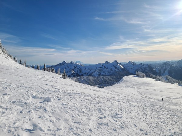
Walk down from Panorama Point is scoured as seen above due to impressive winds in the recent days and on Friday during our trip.
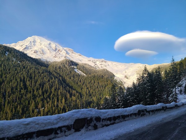
We reached back to the cars by 2:30 pm and we did debrief and started to head back home. We ended our trip with another cool image of Rainier :)
 Krishnarao Dase