Trip Report
Day Hike - Umtanum Creek Canyon
Easy trail with outgrown bushes but needs navigation skills for route finding due to the presence of many tracks/trails diverting from the main trail.
- Sun, Nov 19, 2017
- Day Hike - Umtanum Creek Canyon
- Umtanum Creek Canyon
- Day Hiking
- Successful
-

- Road suitable for all vehicles
-
The trail is on the left after walking below the railroad bridge; which is accessed by the suspension bridge over the Yakima River from the parking lot. Hike towards the large information board located at the fork on the trail within 200 feet from the rail tracks. Take the trail on your right.
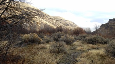
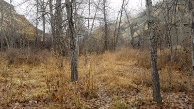
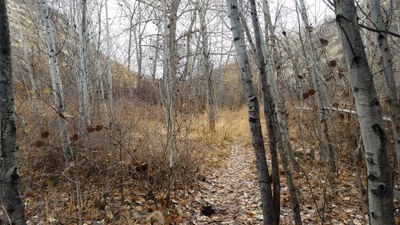
After about 3/4 of a mile, the trail splits with boulders on your left - do not go there. Take the one on your right, which leads you to cross the stream. This stream crossing was easily navigable. This could be different in spring. After crossing the stream, look for the trail heading to the west and avoid other side trails leading to the east. The trail runs through outgrown bushes and woods, so some bushwhacking was mandated.

 After about a mile from the first creek, you will come across a fork, turn to your left to cross the stream again. A small section of the trail after this crossing is through the rocks, traversing a scree slope. Soon after this and about 3 miles into the trail, the trail narrows down further and is a good point to run around for a day hike.
While heading back to the parking lot, be aware of the side trails and avoid them. Between the two crossings, you will come to a fork on a trail just before the last crossing for the day, keep to your left and get to the stream from there.
The parking is $5 for a day use as this area is managed by Bureau of Land Management (BLM).
We started our hike at about 8:45 am. Did our best to find the large information board and remembering the recent trip reports we took the correct trail after evaluating the location and surroundings. In spite of trying our best to stay on the main trail based on the description from WTA and recent trip reports, we found ourselves on side trails near the stream crossings.
We managed to find the main trail and hiked for about 3.1 miles into the canyon; where we found a decent spot for a break before we started to head back.
We were again on side trail just before the last crossing, which is easy to miss as you are looking to cross the stream for the last time on your right. We retraced our steps back to the fork, and we were back on the main trail.
Reached the parking lot by 12:45.
Total miles hiked = 6.5 miles (includes side trails; 6 miles r/t on the main trail)
It was a good day to be out on the east side as it was raining everywhere on the west. It was little chilly but everyone was appropriately layered while sun took its time to shine on us later in the hike. Overall, a fun trip.
 Krishnarao Dase