Trip Report
Day Hike - Soaring Eagle Regional Park
Easy loop hike on multi-use trails. Many options for alternate routes to lengthen or shorten the trip. This park would be good for practice in staying found and/or use of a map.
- Thu, Dec 23, 2021
- Day Hike - Soaring Eagle Regional Park
- Soaring Eagle Regional Park
- Day Hiking
- Successful
-

- Road suitable for all vehicles
-
Although there was no precipitation on the day of this trip, there was heavy rain the previous day. There were several large puddles on the northern part of this loop. While most could be passed along the side while still staying on the trail, there was one
 that appeared more than boot deep and required stepping on vegetation at the edge of the trail. I had scouted this route 3 days prior and these puddles did not exist. Hence, expect this amount of water on the trail only after a heavy rain.
There are laminated trail maps at many intersections. However, there were many other intersections without maps. It's important to have navigation tools for this trip.
This is an easy hike, good for the winter. This trip was on a Thursday and we did not encounter anyone else at Soaring Eagle until we were within 0.25 miles of the E Main Dr TH.
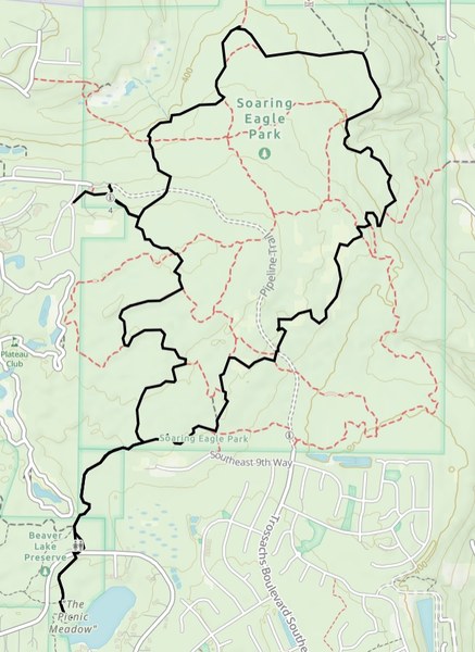
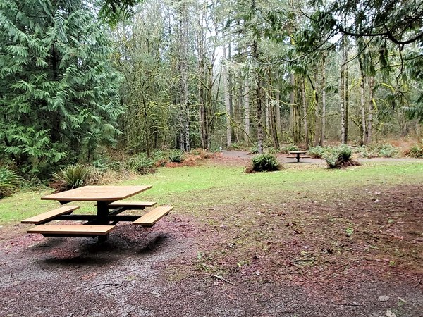
This trip included a 5 mile loop and ~1 mile side trip to Beaver Lake Preserve. My GPS logged 6.3 miles and 489' gain; however, GPS devices amongst the group logged mileage up to 6.7 miles and 300' gain. Because I had the group practice navigation using paper maps, there were a lot of pauses at intersections to discuss & agree as a group which way to go. My GPS tracker indicated moving time of 2.75 hours, and total time of 3.5 hours. The parking lot has room for about 15 vehicles with several spaces reserved for handicap and for horse trailers. There are sani-cans at the E Main Dr TH (26015 E Main Dr) and at the Beaver Lake Preserve TH. There are picnic tables at Picnic Meadow in Beaver Lake Preserve.
 Roseanne Lorenzana