Trip Report
Day Hike - Green Lake (Mount Rainier)
A snowy hike to an alpine lake with some surprising views for the day.
- Sat, Feb 20, 2021
- Day Hike - Green Lake (Mount Rainier)
- Green Lake (Mount Rainier)
- Day Hiking
- Successful
-

- Road suitable for all vehicles
-
The road hike was completely snow covered from the parking area. There are still numerous blow downs completely blocking the trail. The trail to Green Lake had snow drifts that were around three to four feet deep in places.
We arrived just outside the now closed off parking area to the Carbon River entrance to Mt. Rainier just before 7:30 Am. At this time there were no other vehicles parked along the road that is now the parking area. After a quick meet and greet our group started up the now closed Carbon River road by 7:35. By this time a few other vehicles were arriving and parking along the road.
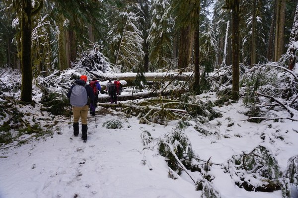
On the drive in the road was clear of snow. We were hopeful that this would be the case for much of the hike up the now decommissioned Carbon River road. This was not the case. Just after the entrance gate the snow started. Fortunately it was easily hiked through all the way to the Green Lake trail turn off. What was not as easy to negotiate were the numerous blow downs from January's storms. Trail reports and Mountaineers that I spoke with stated there were many blocking trees along the first two miles of trails. Lucky for us it appears the park service has been making an attempt to clear the trail/road. There were still a few sections of road that are completely blocked by trees that will require you to go over or under the trees. There are sections where you will be on your hands and knees to go under four or five trees at once. Be prepared to get muddy and wet.
Example of blowdowns blocking trail/road.
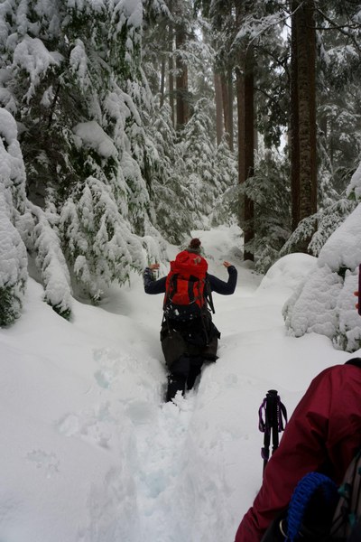
After about an hour and twenty minutes of hiking we reached the Green Lake trail. After a quick break we elected to put on micro spikes and continue up the trail. The snow was getting deeper by this point but was still easily manageable. As we closed in on Ranger falls we did find a snow drift or two that was three or more feet deep but they were not very long. Once through them we were able to continue along with minimal issues.
Deeper section of snow.
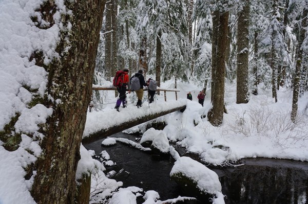
After just under an hour and half on the trail we reached the bridge that led to the lake. The bridge was snow covered but usable.
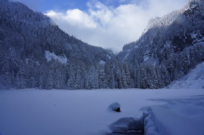
Finally after a total time of around two hours and forty five minutes we arrived at the lake. The lake is frozen over and snow covered. During our visit to the lake we were treated to views of Arthur peak and Gove peak. Tolmie peak remained elusive in the clouds in the distance.
Green Lake with Arthur Peak visible in the blowing snow.
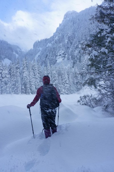
After a break to get photos, eat some snacks we headed back down the trail. On the way down we made a quick stop at Ranger Falls. The falls were running full force today.
Ranger Falls, photo by Jin Kee
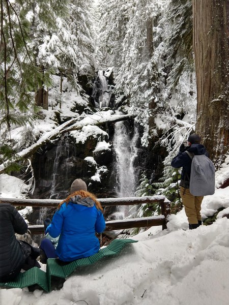
From the falls we made quick time back to the decommissioned Carbon river road. Once on the road we decided to ditch our microspikes since they were hindering our progress due to balling issues. On the return trip we once again had to negotiate our way through the blow downs. Unfortunately with the warming temperatures and other hikers that had come up the trail the snow covered ground that was under the trees was now a muddy mess. What was a fairly pleasant crawl on snow covered ground earlier was now a bit messier.
Upon our arrival back at the parking area we were surprised to find the road nearly full of cars parked on both sides.
Total time for the trip: Five hours forty five minutes.
Trip Length: 10.5 miles according to the tracker.
Elevation gain: 1,400 feet.
 Jerrick Linde