Trip Report
Day Hike - Cedar Butte (Olallie State Park)
Planned hike was Cedar Butte, and our group met at the Cedar Falls trailhead about 10:15am. Winds were very gusty, and some hikers or mountain bikers coming into the parking lot reported trees down on their routes. We decided to stay on the John Wayne Trail for safety reasons (wider and more clear of trees than the Cedar Butte trail would be). We hiked to Ragnar site, had lunch there, and returned, for a 5.5-6 mile roundtrip hike with no elevation gain.
- Sat, Feb 17, 2018
- Day Hike - Cedar Butte (Olallie State Park)
- Cedar Butte (Olallie State Park)
- Day Hiking
- Successful
-

- Road suitable for all vehicles
-
There was a tree down across the John Wayne trail that we were able to step over. We also heard a loud crack off to the north side of the trail but never saw anything fall. I have photos on my camera I can upload later if this app permits that after saving.
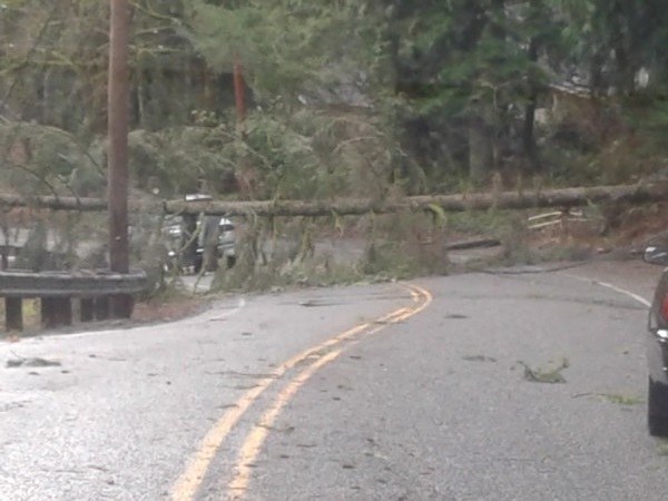
See summary above. On the way out, in our vehicles, we encountered a large tree down across Cedar Falls Rd, low and caught in power lines, photo inserted. Several cars were stopped in front of us, one guy knew an alternate way out and led us out to I-90. Another tree was down on the alternate way out, but suspended higher across the road, such that we all could quickly drive under it.
 Jeff Horne