Trip Report
Bedal Peak
A fun scramble with a strenuous approach.
- Fri, Sep 4, 2020 — Sat, Sep 5, 2020
- Bedal Peak
- Scrambling
- Successful
-

- Road recommended for high clearance only
-
FS 4096 to TH had some rough patches, high clearance recommended. Flagging on the trail is consistent and well spaced, route finding was not as difficult as anticipated. We encountered a hornet's nest in a ground level tree hollow approximately .75 miles in and were stung multiple times--keep a close eye on surroundings. A few small water crossings early on, meltwater ponds above treeline for refilling if necessary.
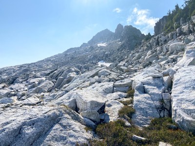
There is a small ramp about 50' long at ~5000' that gives access to the peak above tree line. It runs counter to the slope just below the trees in the center of this picture. Approx location: 48°4'36.32" N 121°21'42.21" W
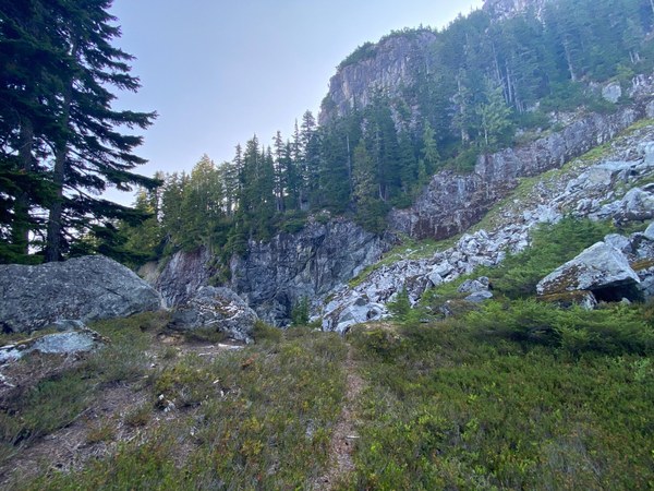
We decided to visit this peak over Labor Day weekend based on its low visitation rate and camped the night before at the end of FS 4096 in our vehicles. There a few flattish turnouts before the end of the road that make decent camping, however there are no services so be advised. After a quick breakfast and load out we started on the trail at 8am, and proceeded to go up, up, and up into the mist.
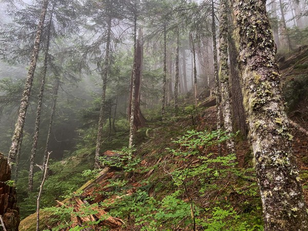 Typical trail grade.
The route finding through the first few miles was non-eventful, the route is flagged every 200' or so. We did get off trail a few times and were rewarded with Yellowjacket stings approximately .75 mile in, do be mindful of your feet if/when bushwhacking. After 1.5 hours we made the first talus field at 3800', a welcome reprieve from the forest. Rock was dry and grippy and made for easy travel.
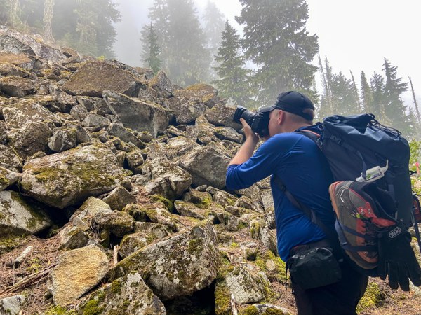
Talus field aka break time.
We followed the trail upward, breaking through the clouds at 4,000' and enjoying peekaboo views though the trees. At 1030am we arrived at a small meadow, with the "can't miss" ramp in front of us. I expected a much larger feature, like an arm or a ridge, but instead it was a short (50'-ish) section of rock running counter to the slope angle of the ridge. After cruising up this bit views began in earnest with Mt. Pugh in the background and Dakobed looming in the distance.
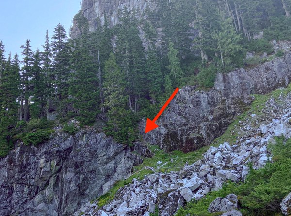
The don't miss ramp.
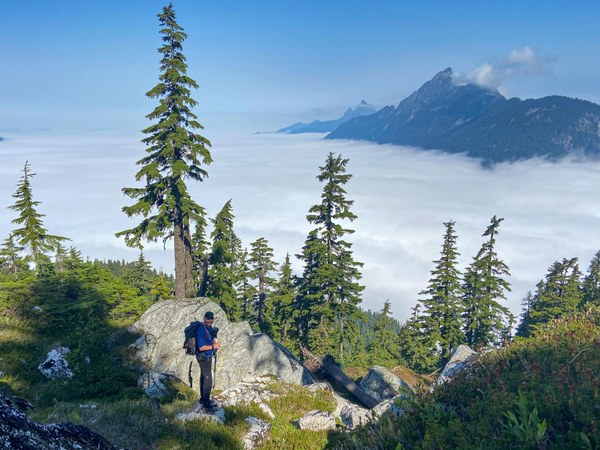
Above the clouds on Mountain Loop. Mt. Pugh in background.
At this point the trail disappears and becomes more a suggestion marked by cairns over a lovely field of granitic orthogneiss that offers multiple class 2-3 lines to the summit. After the slog up the rock was truly like dessert after mushy boiled vegetables--grippy, beautiful, varied, everything a scrambler could want.
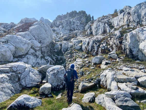
Beginning of the approach, 5600', looking SE.
Our approach followed a SE line about 500' from the summit ridge to approach the peak from the North. Snowfields were minimal, and while we brought spikes, they ended up training weight. Rather than summit from the NE ridge, we opted for some fun class 3 opportunities just North of the summit, which brought us to the standard trail just shy of the top.
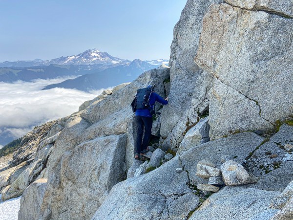
Some great lines @ 6,200', just south of the summit. Dakobed in the distance.
We made the summit at 1230pm, 4.5 hours after starting. The current summit register was dated from 2000 and still had multiple blank pages. After enjoying lunch and amazing views of Sloan Peak we started back down around 130pm. Again, the only thing that matched the views was the quality of the rock. We went a little high on our route back and ended up with veggie-assisted down-climbing to link back up with the trail, try to exit the rock complex back into the forest at 5200' to avoid this. We returned to the forest for a long rocky and rooty return, arriving back at the TH at 5pm. All in all a good scramble with a bumpy start, looking forward to attempting again early season.
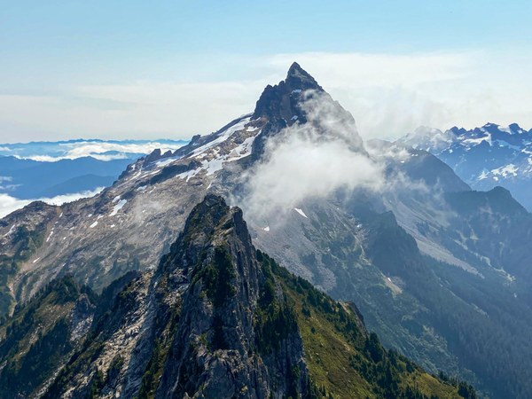
Sloan Peak from Bedal Peak.
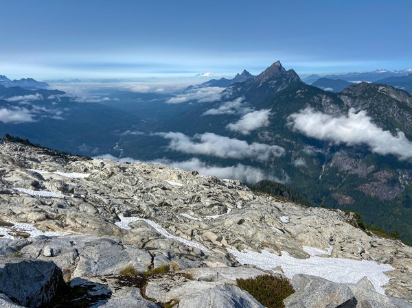
So much amazing rock!
 Ryan Pohanic