Trip Report
Basic Snowshoe - Commonwealth Basin
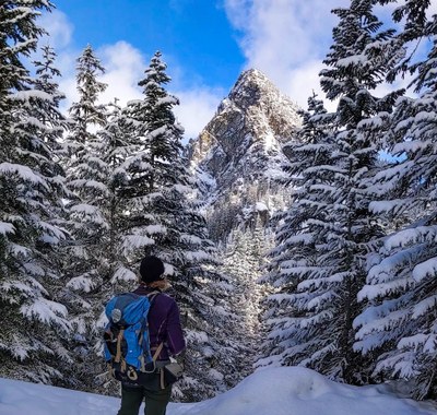
Weather window provided near perfect conditions for a classic winter ramble through the Snoqualmie Pass backcountry.
- Sun, Feb 2, 2020
- Basic Snowshoe - Commonwealth Basin
- Commonwealth Basin
- Snowshoeing
- Successful
-

- Road suitable for all vehicles
-
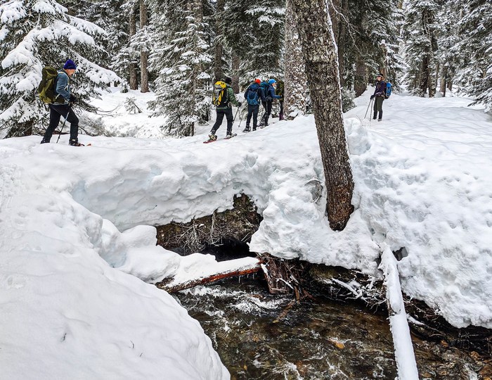
After several days of rain Commonwealth Creek was running too high to cross over at the usual spot, but after some exploration we found a pair of logs further upstream at about (47.4376, -121.4006) that worked very nicely. One crosses over the first log to a small island, then doubles back a short ways before crossing over a second log to reach the main basin. Both logs were wide enough to provide a comfortable, stable crossing. The second log was very wide indeed, providing a stable flat tread about 5' wide over the creek - luxurious. The approach to the first log passes through some snow mounds that are probably covering rocks or brush, but a slightly serpentine route through firm snow was found after a bit of looking but without too much trouble.
Snow on the established snowshoe/ski track was firm but not too hard. Off trail we sunk about 4" - 6" with our snowshoes, typical. SE aspects were scoured with a hard crust, but our shoes were able to dig in and grip without issues. NW aspects were covered in 1' - 2' of powder, which made for pleasant plunge stepping on the descents.
We left the Issaquah P&R (SR-900) at 7:45, which we thought would be early enough to avoid the worst of the traffic at the ski area, whose lifts open at 9am. Though the 7:45am departure time worked well for a similar trip to Commonwealth in early January, it did not this time. Leaders of future trips may want to consider leaving about a half our earlier than we did.
After what was reported to be the gloomiest January in Seattle history (literally!) we were fortunate to have a perfect weather window on Sunday for a long-scheduled snowshoe at popular Commonwealth Basin. In spite of what we though would be an early-enough departure, and it being Superbowl Sunday, we still found ourselves caught up in ski area traffic and crowds along I-90 and the ski area parking lot, but that delayed us only about 20 minutes or so, and the crowds quickly fell away as we left the trailhead. We saw only a few other groups along the trail (most with very happy dogs), and after we crossed the creek we had the entire Basin to ourselves.
Because the forecast was for a very wet and warm Saturday followed by a cold Sunday in the low 20s, we anticipated that the road, parking lot, and route itself might be icy, so we came prepared. We brought microspikes (mainly for the walk over pavement from the cars to the trailhead), were ready to carry our shoes on our packs if necessary, and made sure to take only capable cars. We also had a plan to monitor I-90 driving conditions early in the morning via WSDOT. The icy conditions never materialized though, but we were still glad of our preparation.
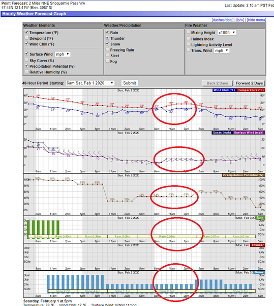
The first indication that something good might be coming our way came from monitoring the NOAA pinpoint forecast on Friday evening and Saturday morning. After a month of grey gloom, all indications were pointing toward a cold but clear day on Sunday.
We realized we had won the weather lottery when we arrived at the ski area parking lot and were greeted by blue skies and wide open views of Denny, Snoqualmie, and Guye (a trio very familiar to those who frequent the Pass).
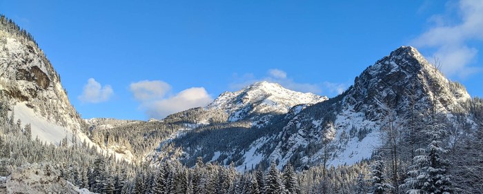
Though the icy conditions that we had anticipated did not show up at ground level, Guye Peak sparkled in the morning light, suggesting that the ice may have materialized at higher elevations.
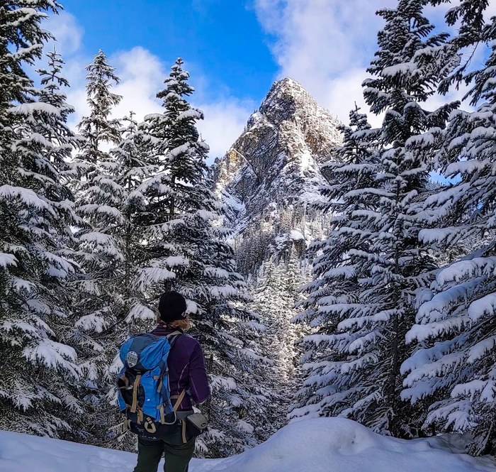
As we went deeper into the valley in our quest for a crossing point over Commonwealth Creek our route started to lead us up and away from the creek. Even though we were now heading away from our ultimate goal, the day was still young so we decided to keep going anyway just to see what we could see. We knew we were gaining elevation and approaching the runout area for any slides that might come off the west face of Kendall, so we kept a watchful eye for any signs of snow instability above us. Seeing none, we continued until we came to an obvious avalanche chute under Kendall Knob #2. Even though we still saw no signs of instability, the NWAC forecast was Moderate at/above treeline so we made this the turnaround point for the high leg of our day. We lingered a while to enjoy the views created by the absence of trees in the avy chute.
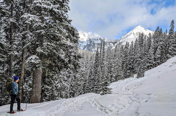
Returning down toward the creek we saw an area that looked like it might afford a way over, so we headed down to try to suss out a route. Intrepid coleader LK solved the puzzle by piecing together the "two logs and an island" combo described in the Route Conditions section above.
Once over the creek we were in the heart of the Basin, and spent about an hour and a half wandering about and lunching before backtracking our route (more or less) back over the logs and eventually to the trailhead.
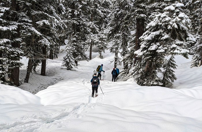
Except for a bit of traffic at the start, it was about as perfect a day as one could ask for: temperatures in the upper 20s, no wind, clear skies with just enough clouds to create some drama, a low risk (green) avy forecast below treeline, and good snow conditions (though a bit scoured and crusty on SE aspects). In short, a classic winter ramble through the Snoqualmie Pass backcountry.
 David Bradley
 Trevor Dickie