Trip Report
Basic Alpine Climb - Mount Persis & Mount Index Traverse
Ascent of Mt Index, prominent peak off of Highway 2, via Persis traverse along horseshoe shaped ridge, camping midway south of Mt Perse Index.
- Fri, Sep 24, 2021 — Sat, Sep 25, 2021
- Basic Alpine Climb - Mount Persis & Mount Index Traverse
- Mount Persis
- Climbing
- Successful
-

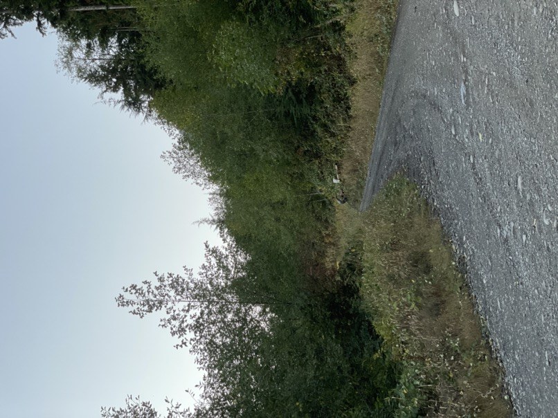
- Road rough but passable
-

Conditions good, beautiful blue skies. But lots of bushwacking.
Forest road is on private land, no pass needed. The gate was open. If it is closed it is 3.89miles to the TH.
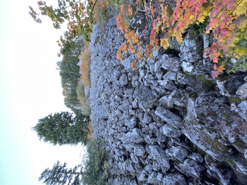
The route starts on the west ascent of Persis, optional ascent of Persis and Perse-Index. The route traverses the horseshoe shaped ridge south with plenty of water supply all along the way. It is still water, no streams until you near Index, and then it is minimal running water. The Summit Push is visible from the west, and is awe inspiring. There is a lot of bushwacking on this trail and talus. Although it hard to navigate through the brush, the route is very obvious the entire way. Careful of numerous area with loose rocks. Even in the forested area, we had basketball sized boulders let loose.
We used gaia maps to find the trailhead. Note that on some versions of Gaia, there are missing turn offs and also missing lakes.
We parked in a shallow turn off.
Unmarked but obvious trail starts off steep to the right.
There are numerous logs to cross. Some have exposed roots. There are a dozen logs that have been prepped so they are easier to cross.
At 3860ft is a short talus.

At 4779ft there is a north facing viewpoint toward the index walls.
At 4852ft there is a framed view of west face of index.
At 5042ft is another short talus.
At 5190 is the first water source. Water on this trail is almost exclusively still water off ponds. Decently clear.
Here we diverged to the mt persis summit to the east.
There is steady incline up to mt persis at 5463 ft. Successful summit. Space at the top for brunch by the register. Excellent 360 degree views.
Mt Baker and Shuksan are partially obstructed, but different points along the trail are unobstructed. Baring Mtn in front of Glacier peak. Index walls, Sloan seen to North. To the west, the Olympics, Everett and Bellevue. To the South, Mt Rainier, Kaleetan, and to the east Mt Stuart looks like a small bell to the left of Index.
We headed back to the pond and then south to mt perse index.
The path along the cliff is sheltered by the trees and relatively steady elevation until you get to a pond, a third decent water source. There are two obvious gullies to the east. We took the right because the left would require back tracking to the south to rejoin the trail.
Then there is a steady decline to mt perse index.

East of persis is a prominence leading to a cliff. On map appears to be a good descent, but it is a steep cliff. 100 feet prior and to the right is an opening in the trees to a steep talus that is easier to descend. When you look back it is the obvious route to avoid bushwacking as it is likely the apex to the initial talus rockfall.
Traverse the right/west side of the ridge, wrapping around steep buttes. Cliffs are not clearly shaded on map. Not advised to ride the ridge.
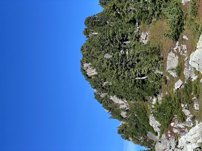
As you traverse, perse index will be a rocky prominence to the left. There is an obvious steep direct ascent through trees, west face.
Alternate Wrapping to the north is a more stable talus for ascent. West face is a faster descent.
Coming back to the trail we descended into
two beautiful ponds sheltered from the wind on both sides by rock with an excellent view of mt rainier to the south and the Olympics to the right and also bellevue if you are into that.
Just southe of pi are some lakes that made good camp. Some dirt to pit stakes in and some flat rock for a bivy. Great views over the south lip of the lake.
Next day we had an alpine start furthering the traverse. We scouted the ridge and noted 35 min is a downclimb. We planned our start 30 prior to sunrise to allow the downclimb to be lit.
6am start. There was a near full moon but we used our headlamps because of rocky terrain. The trail has numerous variations and often Peter’s out. There is a lot of loose rock even in brush covered areas. The topo appears very obvious but the path hugs several buttes along the traverse, spirals to either side to find the path of least resistance, and can drop up to 40 feet, 2 contour lines and regain it quickly. There are many side routes to viewpoints do not mistake them to continue the traverse. The viewpoints of the west face of index are unobstructed allowing clear visualization of the summit push.
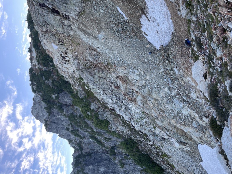
Coming off the horseshoe ridge line there is an open flat plateau of white rock with a mixture of conglomerate and tuff unclear where this may have come from since it is not known to be volcanic. Then there is s sharp drop off into a rockslide with two snow patches. We hiked between the snow patches by two manners. You can downclimb an easy rock scramble or you can shimmy down scree. I recommend the rock. Climbers went one at s time to avoid rockfall and injury.

After this is s straight forward Summit push, up through rock into a meadows and to a small mound to the right. The summit is pleasant like a small park. Gorges 360 views. Summit register in the rock pile. Wind was perfect. No mosquitoes. The east face is s sharp cliff and i did not visualize lake serene, but you can see the middle peak.
 John Dinh