Trip Report
Backpack - Wonderland Trail: Westside Road to Longmire
Building skills with team work and tapping into our strengths was essential during this trip when we encountered water challenges, hot, steep terrain, biting insects and high places. The pay-off was panoramic views and feeling safe both emotionally and physically which was paramount to our success and friendship.
- Tue, Jul 30, 2024 — Thu, Aug 1, 2024
- Backpack - Wonderland Trail: Westside Road to Longmire
- Wonderland Trail: Longmire to Westside Road
- Outdoor Leadership & Backpacking
- Successful
-

- Road suitable for all vehicles
-
RESERVATION: 3 Months in Advance on Recreation.gov
TIMED ENTRY TO MT RAINIER NATIONAL PARK (Included in reservation)
Day #1 HAZARDS: Wasps, swift moving deep glacial creek ford, footbridge out, swarming mosquitos
Day #2 HAZARDS: Biting insects, a missing suspension bridge board, heat
Day #3 HAZARDS: NONE
More pictures Here
HAZARDS: Wasps, swift moving creek, footbridge out, mosquitos
We met at Whittaker's Bunkhouse for casual introductions. For this trip it was important for me to have everyone get to know each other better since we would need to make decisions if the course we had planned was too hazardous. We were able to hear about each other's experiences and goals for the trip. Right away it was apparent everyone on this backpack had exemplary, if not outstanding skills. Three were a part of the backpacking course through Tacoma Mountaineers but had previously backpacked prior to taking the course and had parallel experiences through their jobs in both the fire department and military. I had also used leader permission as an early way to help screen participants and decided on only 6 total.
Day #1- 7/30/24 Longmire to Devil's Dream Camp. 6.38 miles, +2713 elevation gain. After starting at Longmire we encountered a large wasp nest about 2 miles on trail. Luckily it was a drizzly day in the low 60's which kept the wasps quiet but there had been reports of stings. Two of our participants had prior reactions to bees and one carried an epi-pen. There were just a few drones on sentry as we quickly passed. The nest is located between the junction of Rampart Ridge and just before heading down the hill to Kautz Creek.
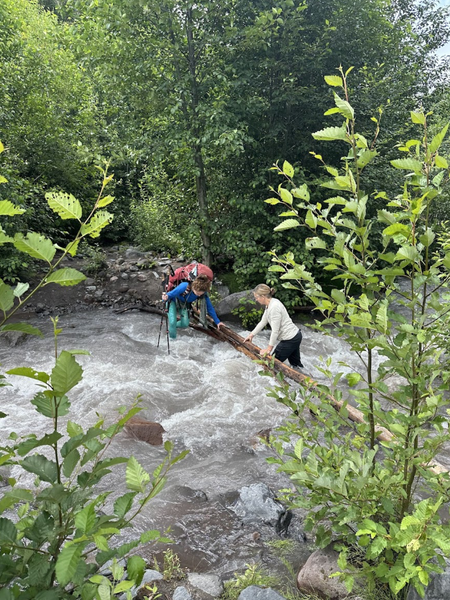
After eluding the wasps, we scurried down the hill and approached the Kautz Creek area. The footbridge was out on the major part of the creek. On this morning, the water was moving swiftly and impossible to keep a trekking pole stable for three points of contact in the water and the water was muddy and deep. Earlier, someone had placed two long limbs across the water but the water was already up to the limbs and had become slippery so it wasn't an option to walk on it. We watched a solo person first try to walk across the limbs, taking one step out and then came back. I then walked up and down the creek looking for a more suitable spot and then decided to cross with our tallest person first fording the stream. We all took our boots off, put our crocs on and unbuckled our backpacks. The first person went across and was able to keep her backpack out of the water and hold onto the limbs. The water was very cold and up past her knees. She left her backpack and came back for another backpack. We then all proceeded across. I was probably the shortest 5'1" and was up mid/high-thigh in water at the crossing. 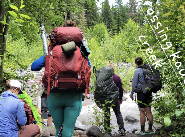
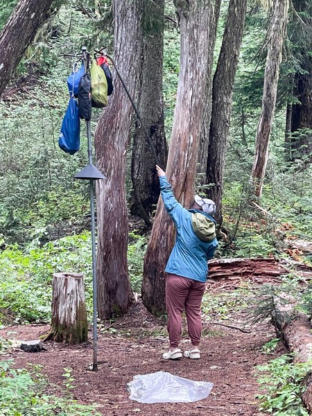
Making camp at Devil's Dream we took a nice walk up the trail to search for water and found a lovely creek with many wildflowers. After dinner we reflected on the day and every one of us was ready for bed early, leaving mosquitos and all from camp, as dusk approached and took over the evening.
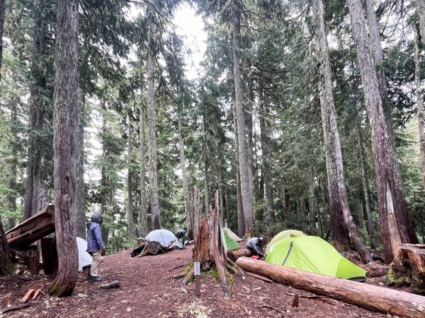
Day #2- Indian Henry's, Mirror Lake, Tahoma Suspension Bridge, Emerald Ridge, to South Puyallup Camp. 8.63 miles, +2106' elevation gain.
HAZARDS: Biting insects, a missing suspension bridge board.
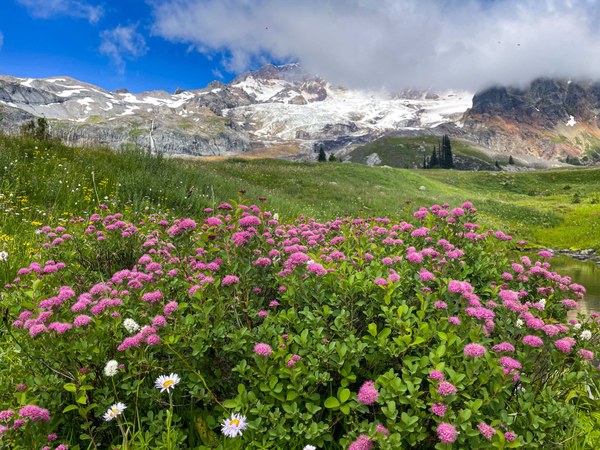
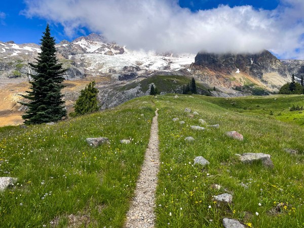
Leaving the mosquitos early in the morning, we made our way towards Indian Henry's Hunting Ground and enjoyed the scenic beauty of Tahoma in the background and the massive amount of wildflowers along the trail. It was everything an iconic Rainier hike should be.
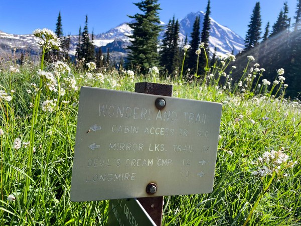
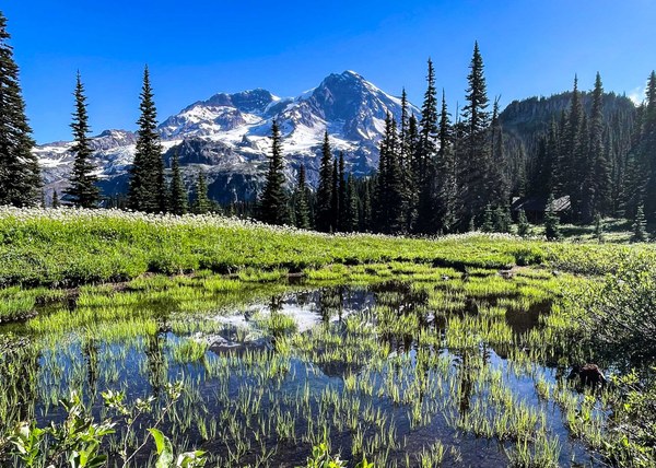
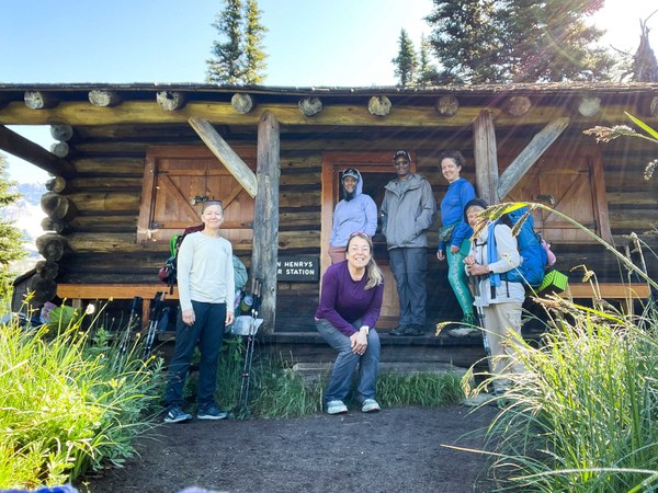
We ventured across to Mirror Lake then and headed toward the Tahoma Suspension bridge. First to go across, I enjoyed the long view below at the Tahoma Creek. The rest of our party mentioned the missing plank made it even more scenic!
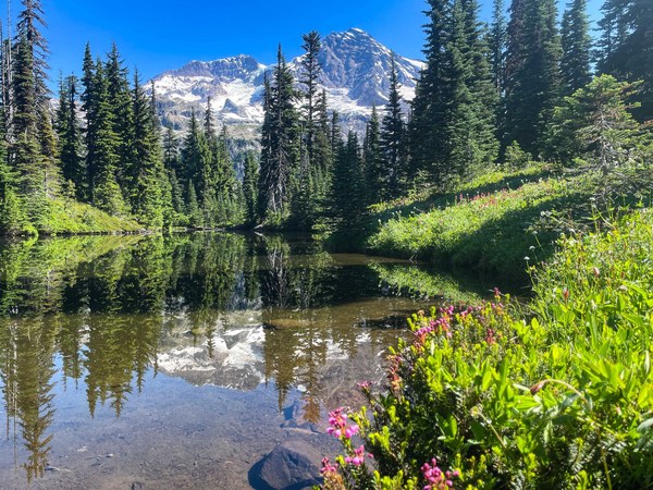
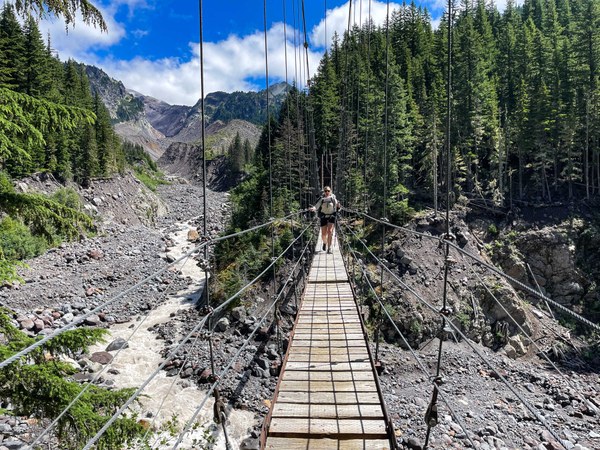
After lunch we made our way up to Emerald Ridge. The heat in the afternoon was made slightly better with the minor clouds that formed from rain the day before. The views were absolutely stunning. Words really cannot describe the various landscapes of Rainier.
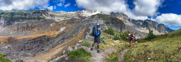
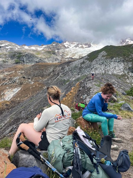
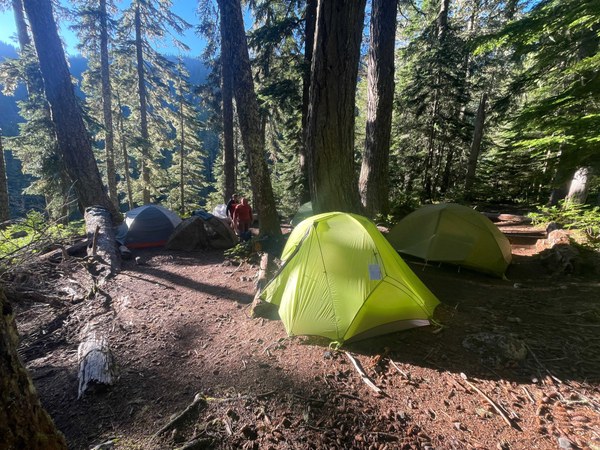
At South Puyallup Camp we found a shady spot to put up our tents and called it home for the evening.
Day #3- 6.38 miles +374 elevation gain.
Slowly making our way out of the lovely South Puyallup Camp we found the trail easy and fast. At two miles the trail then meets back with the Westside Road, an easy walk home from here.
My thoughts and reflections over the last three days kept circling back to how important it is to build rapport with your group participants and to encourage open dialogue and that is open to feeling safe enough to question leader decisions as well. Building skills with team work and tapping into our strengths was necessary when we encountered water challenges, hot steep terrain, insects and high places. The pay-off was panoramic views and feeling safe both emotionally and physically. These were paramount to our success that led to a strong bond of friendship.
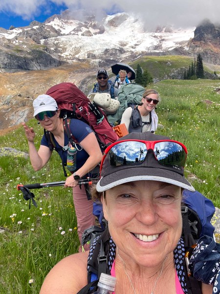
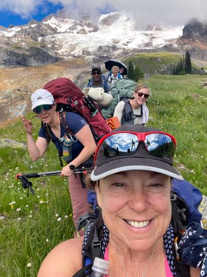
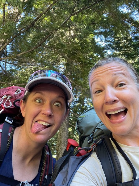
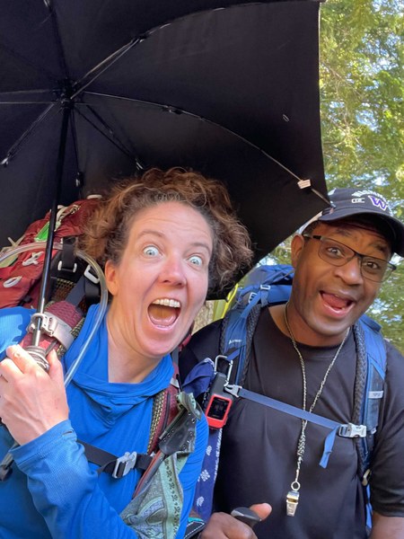
Even if your friends hack into your phone and take selfies!
21.44 miles, 5200' elevation gain.
 Lisa Elliott