Trip Report
Alpine Scramble - Wapenayo Peak
A great Scramble of Wahpenayo and Chutla peaks in an uncrowded area of Mt. Rainier national park.
- Sat, Sep 5, 2020
- Alpine Scramble - Wahpenayo Peak
- Chutla, Eagle & Wahpenayo Peaks
- Scrambling
- Successful
-

- Road suitable for all vehicles
-
The trail up to Eagle Saddle is in great condition. We encountered no snow on the route. We did encounter a black bear in the area but it was more concerned with eating the abundant berries and avoiding us.
For today's trip we made an early start out of Longmire. Much to our surprise even with the early start the Longmire parking area was over half full. I guess this was to be expected on Labor day weekend. From the main parking lot we elected to hike the road over to the Eagle peak trail instead of taking our cars to it. This parking area is small and we did not want to crowd it with just our vehicles. Once at the trail we took it on up to around 5,000 feet where we acquired the climbers trail to Wahpenayo peak. This trail is obvious if you look for it at the switchback in the large clearing that you come out into at this elevation.
Once on the climbers path we followed it to the saddle located between Chutla and Eagle. On our way to the saddle we did have to cross through a talus field or two. There is no obvious trail through the field so we just choose best terrain and kept heading in the direction of the saddle.
A talus field with the saddle in the distance 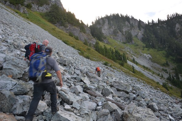
Once we got closer to the saddle we noticed that we were no longer alone in the area. Just off our approach path to the saddle was a Black bear in the area. It was in the distance and hard to pick out but it was heading up the ridge we were going to head up. Not to be deterred and figuring that it was already departing the area due to our arrival we kept on our path up to the saddle. Once we arrived at the saddle we were greeted with some of the best views I have seen in the park.
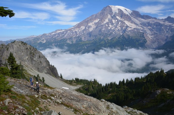
After a short break we started up the ridge to Wahpenayo peak. There is a very good boot path that you can follow all the way to the peak along the ridge. You may lose it in a few places but when in doubt look up since that is where you need to go. We made quick time to the actual peak, stopping here and there to enjoy the views of the other Tatoosh peaks as well as Rainier which was behind us at this time.
Ridge on the way to Wahpenayo
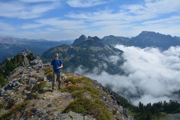
Once we attained the final ridge to Wahpenayo we proceeded over the false summits before dropping down and working our way around to gain the actual summit. There are reports of exposure and possibly needing a hand line for this section but we all found it fairly easy to do and the exposure not as bad as we thought it might be. Once through this section you can easily scramble to the top of Wahpenayo and enjoy the views. While working our way over the false summits and this ridge we did once again see our black bear buddy in the meadows below us. He/she appeared to be having a grand time eating all the berries in the area.
The View from the top of Wahpenayo. Tatoosh range in view.
After a quick break at the top we worked our way back down Wahpenayo and back to the saddle. At the saddle we once again took a break before starting down and heading for Chutla peak. From the saddle we proceeded down just far enough to work our way around the imposing rock outcroppings that are part of Chutla peak. We attempted to stay high as possible on the ridge to avoid any elevation loss but we once again had to negotiate the talus fields.
Talus field on way to Chutla.
Ascent gully to Chutla located after rock outcroppings visible climbers right.

Once through the talus field we headed for the ascent gully to Chutla peak. The gully we choose to head up was very steep but easily done due to the plentiful vegi belays offered. Once up the gully we hopped on a well established boot path that lead to the top of Chutla. Having done the ridge run from the Eagle saddle to Chutla in the past I have to say the gully approach is much easier and a far safer way to do Chutla. The views from Chutla were also well worth the effort put in.
Top of Chutla
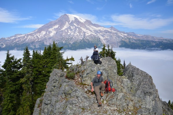 Wahpenayo from Chutla
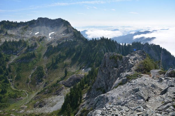
Once we got our fill of photos and snacks in we proceeded back to our ascent gully and departed Chutla. From the gully we worked our way back to the Eagle peak trail. Once on the trail we headed back to Longmire and our vehicles.
Much to our surprise we did not encounter any other hikers on the trail on our way up and only five other hikers on our way down. We did observe two hikers headed up to the Eagle saddle bringing our total number of hikers we encountered/observed to seven for the day while on the trail.
Total mileage for the day was 9.54 miles
Elevation gain 4,370 feet.
Total time was 8 hours 50 minutes.
 Jerrick Linde