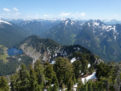
Trip Report
Alpine Scramble - The Ark
A scramble up a variety of terrain to the summit of an Alpine Lakes Home Court peak
- Fri, Jun 2, 2023
- Alpine Scramble - The Ark
- Quartz Creek, Blethen Lake & Rooster Mountain
- Scrambling
- Successful
-

- Road recommended for high clearance only
-
Quartz Creek Trail almost all snow free up into southern basin. The south route we used for our ascent is melting out fast with only some brief areas of snow, but now mainly grassy or talus open slopes with areas of thick timber and brush to navigate around. South ridge between Ark and Cockerel Point very brushy, forcing us to stay climber's left of ridgeline uptime things opened up. More constant snow leading up to summit block, then a class 3 rock summit.
Descent route on west ridge had a boot path all the way down the ridge. Western basin still filled with lots of snow up high but got brushy lower down.
Lots of water sources to filter water at
GPS TRACK: https://www.gaiagps.com/datasummary/track/5614dcdc-a6af-4f1f-9d77-612a290e3f9c/
We started out at the Taylor River trailhead at 8:10, following the road-trail 1/2 mile to the Quartz Creek junction. We then hiked the Quartz Creek road-trail 4 miles up the mountain, making for a very nice approach. No blowdowns but there were several large creek ditches across the trail to cross through, but was not too much of a problem.
At 4.5 miles up as the trail enters the southern basin of the mountain is a split. We knew there were two main routes up: the west ridge or the south ridge. We decided on going up the south route, so we picked the right fork and continued up the trail, which had some snow on it. At about 3800 feet we came to an open meadow area where we left the trail and ascended open grassy and dirt slopes NW, trying to aim just left of Cockerel Point ahead of us. There were areas we came to of thick trees and brush that we were able to go around to the right side up some talus fields until things opened up more where we could work our way more left.
We reached the saddle to the north of Cockerel Point, but the ridgeline was very brushy. This forced us to drop a bit to stay west/climbers left of the ridgeline where we traversed dirt and talus slopes, doing our best to avoid any brushy areas.

At about 4600 feet we re-entered older forest with less brush and began to ascend straight up steep dirt clopes to regain the south ridge and reach more constant snow and much more pleasant travel on the ridge at 4900 feet, soon finding ourselves up near the western summit ridge which led to the base of the summit block. The summit rock scramble is solid class 3 with lots of holds and only moderate exposure, but the issue was an infestation of red ants all over the rocks, biting our hands as we gripped the rock. Having some work gloves is a good idea here to protect your hands from the ants.
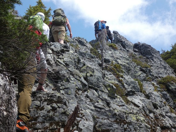

We reached the summit in 5 hours, around 1:10pm. The views sure were grand of nearly the entire western half of the Alpine Lakes Wilderness! I enjoyed soaking in the scenery as the ants were crawling up my pants!
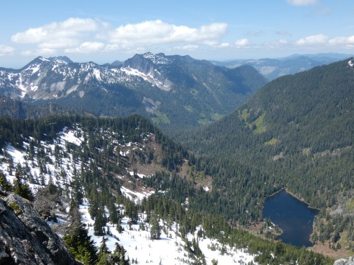
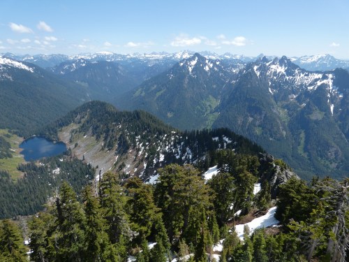
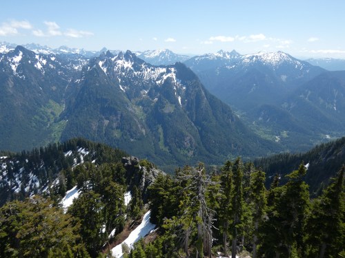

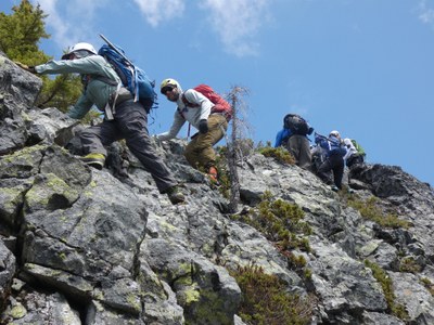
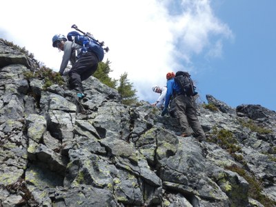
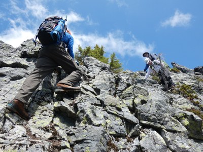
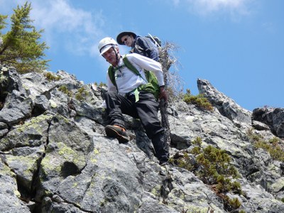
On our descent we opted to take the west ridge, which proved to be the right choice, as there was an actual boot path to follow! If only we knew that on the way up, though we still did not mind the adventurous ascent route we took. We took the west ridge down to about 4500 feet, then dropped south off the ridge down snowy forest which led us into a large open snowy basin. We headed to the outlet creek of this basin then descended along the outlet creek into forest, then descended forest, keeping the creek to our right. We found a boot path we were able to follow down for a while aiming for the top of the Quartz Creek trail, but we encountered thick brush before we could reach the trail. When we did reach the trail we found it to be heavily overgrown. We continued bushwhacking parallel to the road until we again found a boot path, and followed that down to 3600 feet where it again met up with the overgrown road, but this time there was a path along the road bed through the brush. This trail led us back to the junction to finish our loop. Then it was a matter of the long 4.5 mile hike out to the trailhead around 5:15, 3 hr 45 min from the summit and a a 9 hour day.
 Chris Pribbernow