Trip Report
Alpine Scramble - Songbird Peak
Short, steep, pleasant, and pretty legit scramble within a short driving distance.
- Fri, Jul 21, 2023
- Alpine Scramble - Songbird Peak
- Songbird Peak, Machu Picchu & Greenway Mountain
- Scrambling
- Successful
-

- Road suitable for all vehicles
-
Aside from passing the climbers and bikers on the short segment Iron Horse trail, we encountered no other people the whole day.
Meeting set to 9am at 47.43759, -121.66037. Google Maps doesn't understand that you can just make a left turn, and tries to do something strange. One participant drove past the location, ended on I-90, and then on some rogue Olalie state park trailhead. Beware!

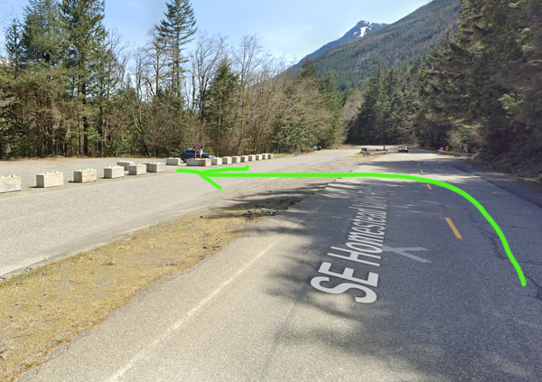
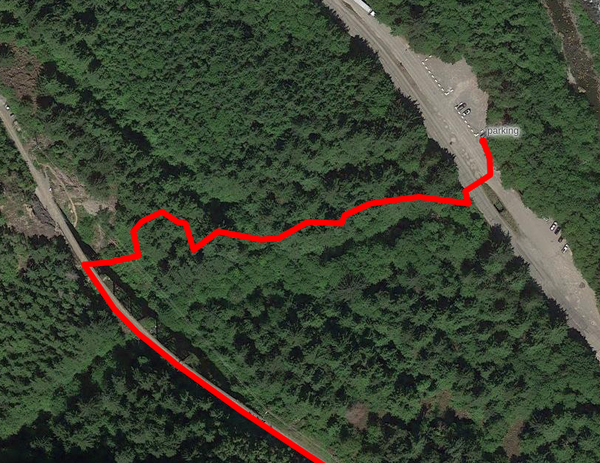
After some problem solving, we reunited and hit the trail at about 9:30am. The first part of the route crosses the forested area on a boot path that runs along Change Creek, and deposits you right under a "bridge" (old railway) that is the Iron Horse trail. You get on top of that and end up next to the "Write off Rock" climber's crag, then walk for a short distance SouthEast next to the rope climbing crags, as follows.
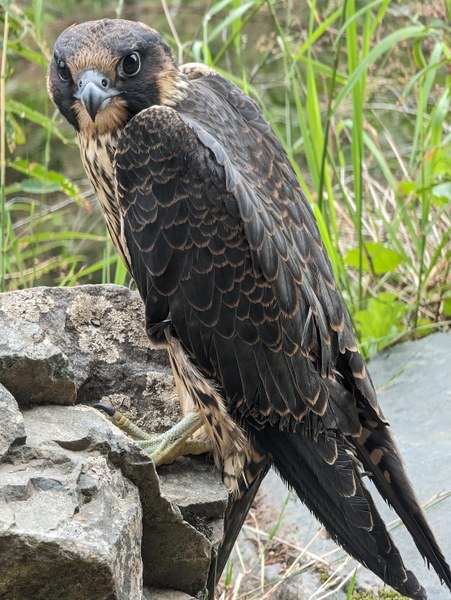
We found an orphaned baby of some sort of a fancy predator bird that Google Lens thinks might be a peregrine falcon. What was left of the parents nearby looked like this was personal. Someone speculated it could have been the rock climbers feeling protective of their crag.
We only stayed on the Iron Horse for about 1200 feet, then shortly before reachign the "Deception Wall" crag we entered a trail on the right side (47.43506, -121.65965), then started ascending.
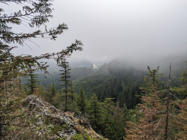
Nice foggy views on the way up.
After 45 minutes or so, at around 10:15am we reached a turnoff point (47.43219, -121.66461) to the Olalie Knob (47.43383, -121.66374), a short and sweet detour that offers a bit of exposure and adds some scramble points to your trip. Afer a short discussion, we decided that everyone was up for it. We dropped packs, grabbed snacks, and went for it. It was a worthwhile addition, with just a few narrowish ridge sections that looked like on the picture below. It adds about 10 minutes or so in each direction, so 20 min. total plus whatever time you want to spend up there.
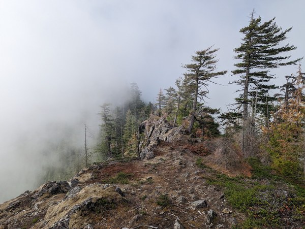
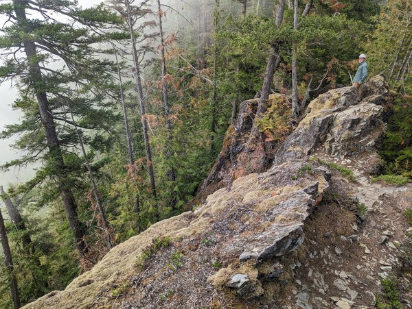
Amazing views at the top.
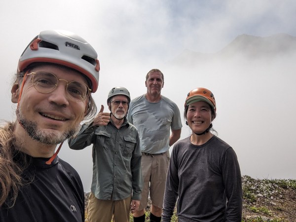
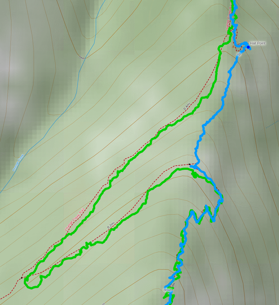
Back on the main trail and resuming the course by around 10:35am or so. After another 10 minutes walking up the ridge, we turned at 47.43031, -121.66484 to reach the "Hall Point" (47.42999, -121.66451), another small side trip to enjoy the views. From there, we decided to just plow ahead along a climber's trail up the ridge that wasn't too bad (blue line below). On the descent, we just followed the trail (green line).
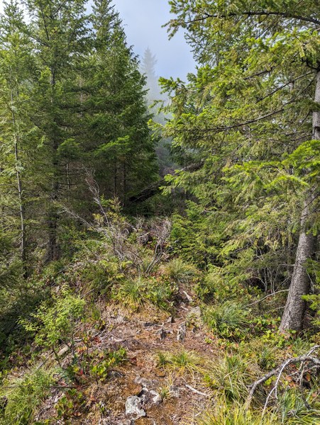
Much of the way up looked like this:
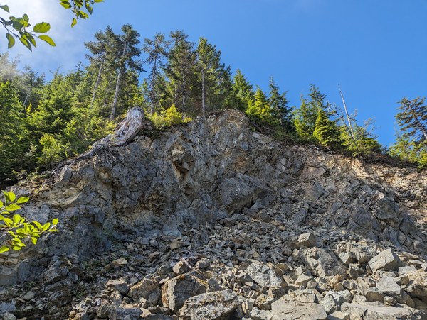
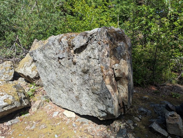
At around 11am, we reached J's Landing (47.42836, -121.66555), marked by a big boulder under a wall of rock. This is where we rejoined the trail (and rested on the way back).
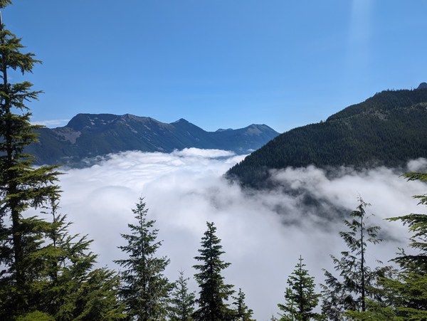
Not long after that, we started getting some nice views over the clouds that previously obstructed the view.
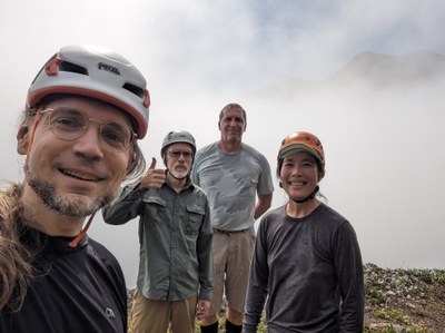
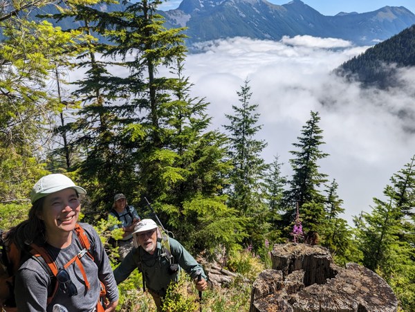
Happy participants soaking in the views and enjoying a nice pleasant shade for most of it until this point (that didn't last all the way to the summit).
By around 11:30am, so 30 minutes from J's Landing we reached a place where we get out of the bushes and where the actual scramble begins (47.42366, -121.66827).
Participants putting helmets on:
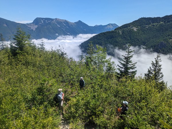
Cruising along the ridge looked like this:
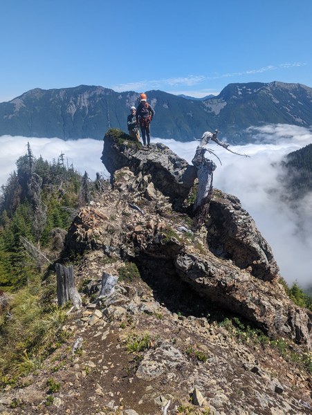
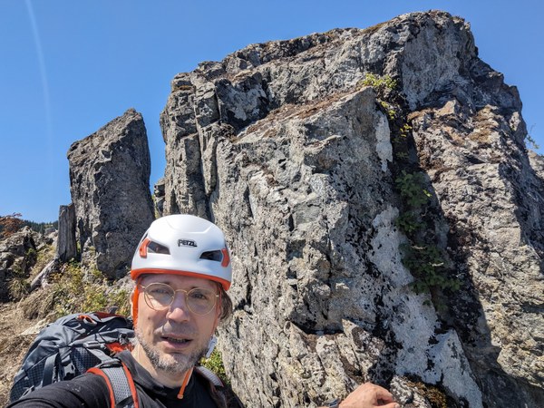
By around 12pm we reached the Eastern Island (47.42138, -121.67098), an object that some have described as "bunny ears" (two narrow blocks of stone standing next to each other). I think it may have been right before that when we crossed the "challenging rock traverse", a narrow section of the ridge where there was some exposure on both sides and you had to take some care where and how you step, but walking on good rock. Due to a bit of exposure, it could be in the upper half of the T3 range, perhaps, or marginally more challenging than an average T3 scramble? I'm not an expert on that, though. It sounds like maybe this depends on one's comfort with exposure. There wasn't anything particularly technical, and the rock was good, dry, and grippy.
Standing next to the bunny ears (somehow they looked less bunny upclose and more bunny from a distance):
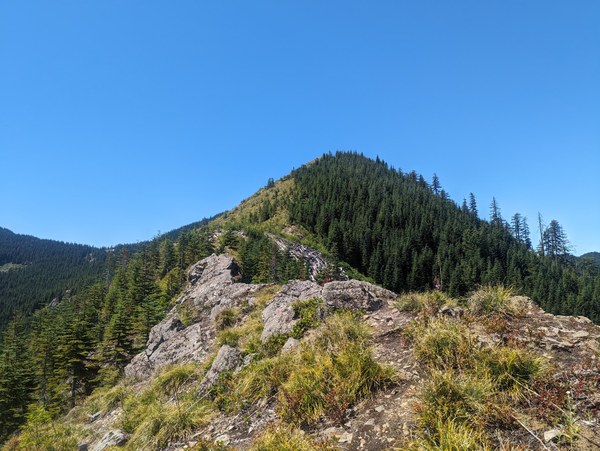
The final section on "grassy slopes":
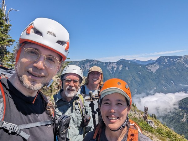
Topped out at 12:30pm, so after about 3 hours of walking uphill:
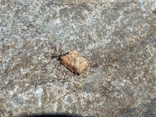
We took a 30-minute break there to eat and rest, during which we admired the strength of an ant hauling a crouton 100 times its own size. The small ant was at some point attacked by a bigger ant trying to steal the crouton, but we chased the bully away. Find your own crouton.
Started descending at 1pm, aiming for the bunny ears again as a nice landmark for orientation:
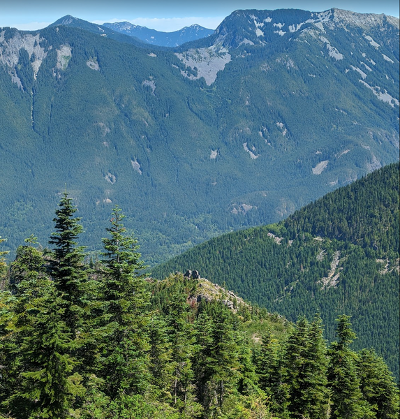
Approaching the bunny ears again on the descent:
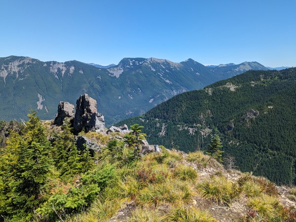
By the way, this is what I think the Machu Picchu was, just that so you know what it looks like. It sounds like the route doesn't go all the way to the top of it, but perhaps one day in the future, an ambitious scrambler will find a way.

Descending some of the more exposed bits:
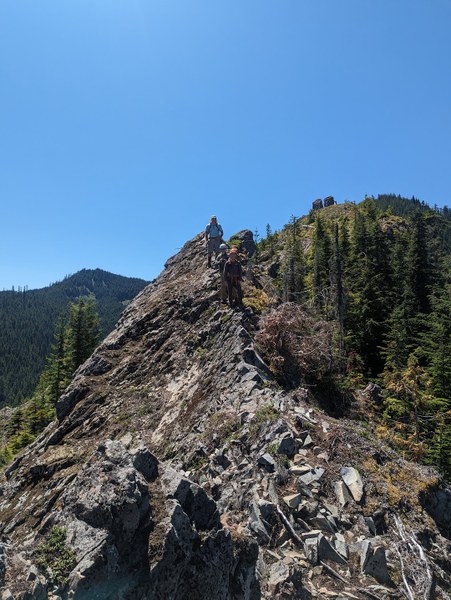
Back to the cars by around 3pm, so it took about 2 hours to go down. There's a creek right next to the parking lot where we greatly enjoyed a nice splash of cold creek water on the face. Some have even dunked their entire balloon in the water for an extra cooling effect.
Overall, this felt like a pretty good ROI for a 45-minute drive and 5.5 hours roundtrip time (3h up, 0.5h at the summit, 2h down), with the recorded 3200 feet of elevation gain, 6 miles distance, and some nice ridge walks with a little bit of exposure that place this scramble I'd say above average in the T3 category, at least for someone who hasn't practiced much on this type of terrain. All of the side trips were indeed well worth it. Another one to the box with scrambles worth repeating.
 Krzysztof Ostrowski