
Trip Report
Alpine Scramble - Pigeon Peak
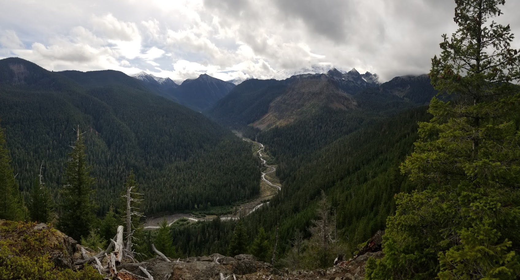
We had near ideal conditions for our Pigeon Peak scramble, if those words can be used in the same context.
 David Judish
- Sat, Oct 9, 2021
- Alpine Scramble - Pigeon Peak
- Pigeon Peak
- Scrambling
- Successful
-

- Road suitable for all vehicles
-
Road 75 is in very good shape, with helpful signage in several locations.
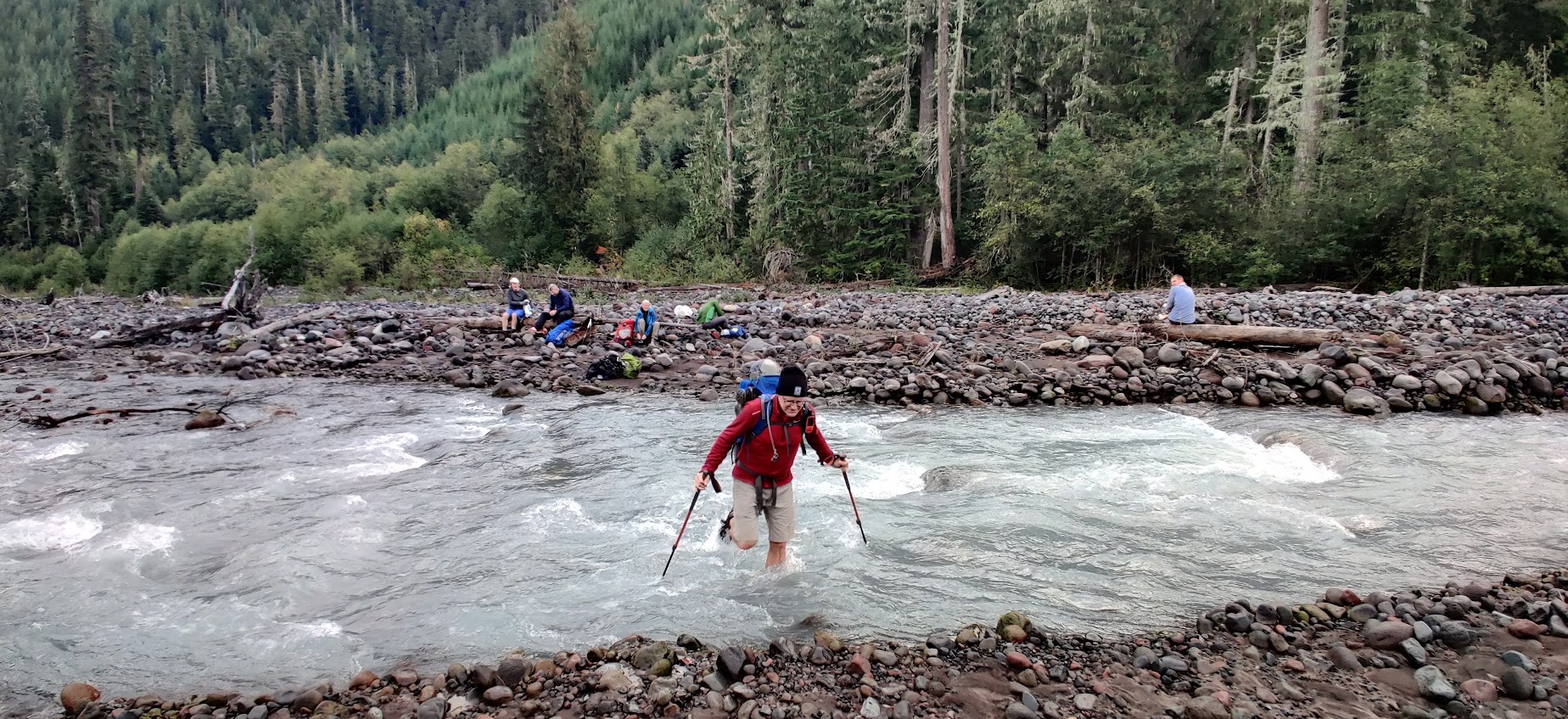
With the previously used log crossing of the West Fork White River no longer in existence, we managed to time this trip perfectly. The USGS streamflow gauge for the White River below Clearwater River was at 450 cfs, a 6-month low. At this flow level, the river was fordable without much difficulty.
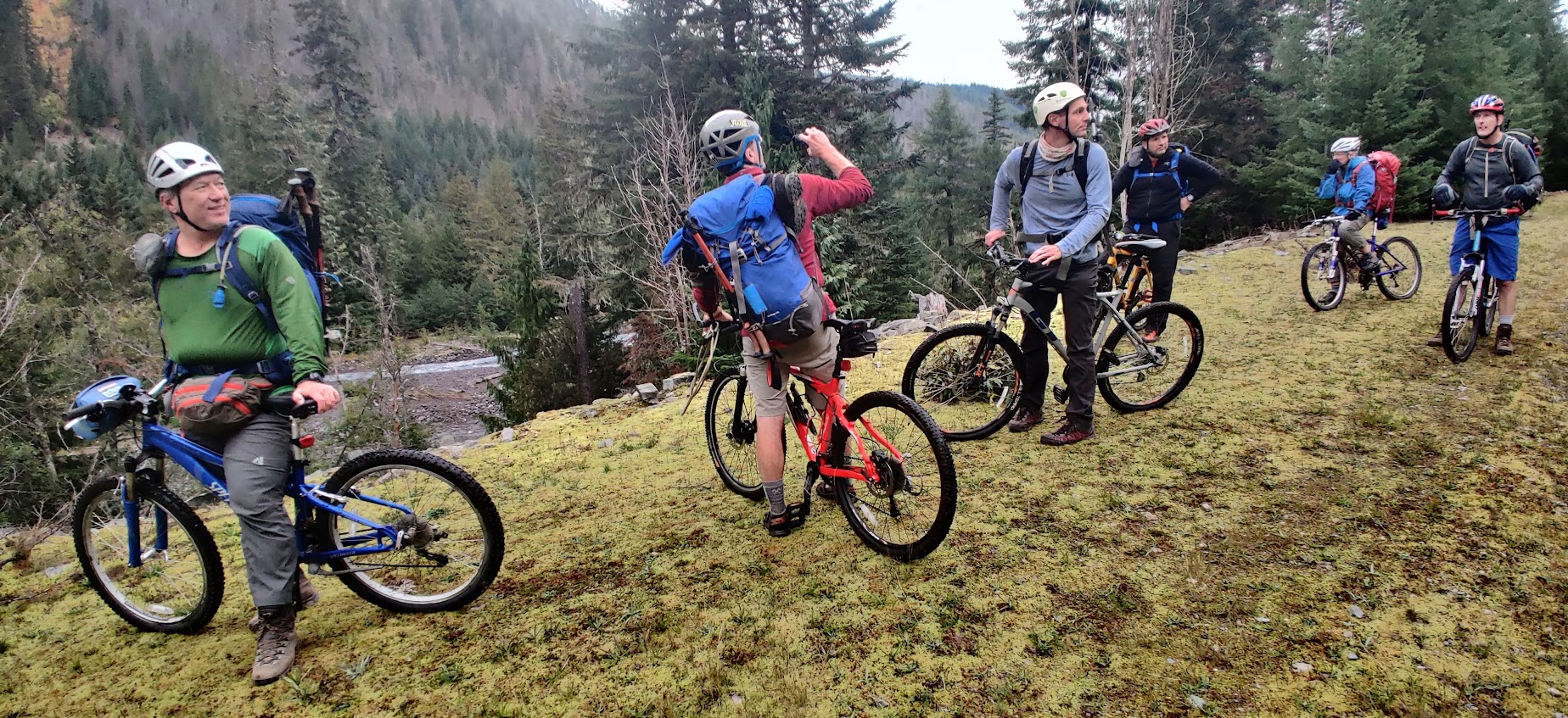
We biked 3+ miles from the (open) gate to where it became impractical, followed the evident boot path on foot to the MRNP boundary.
We changed to water shoes for the 30 second crossing of the chilly river.
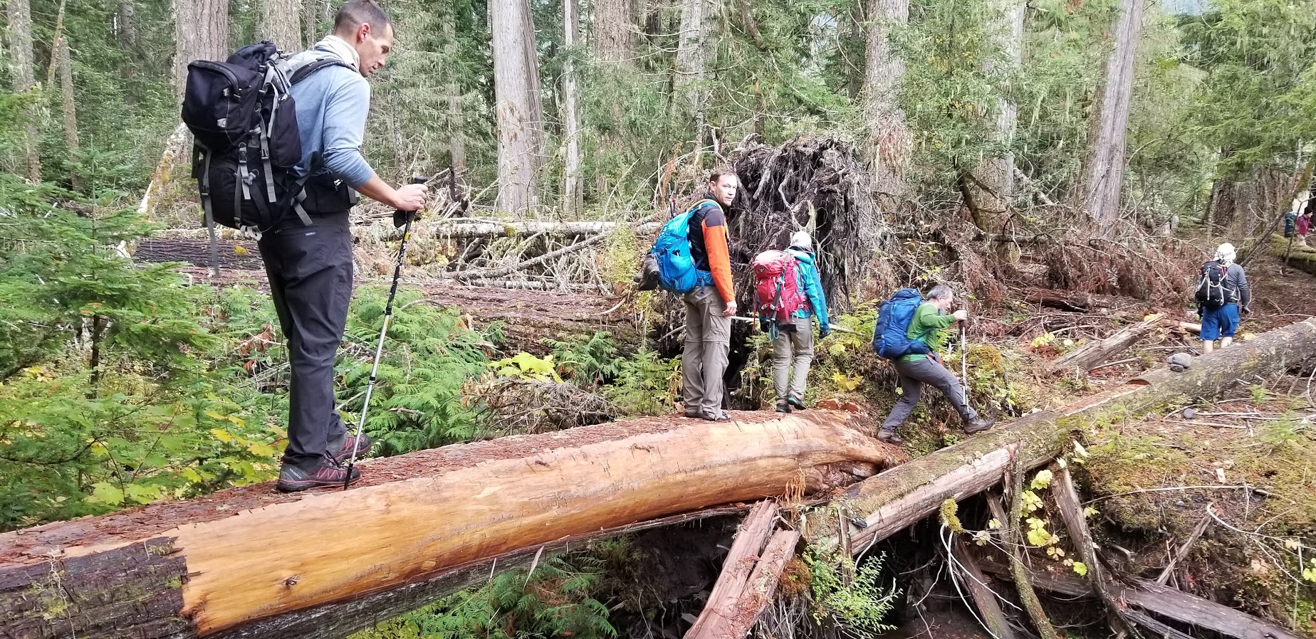
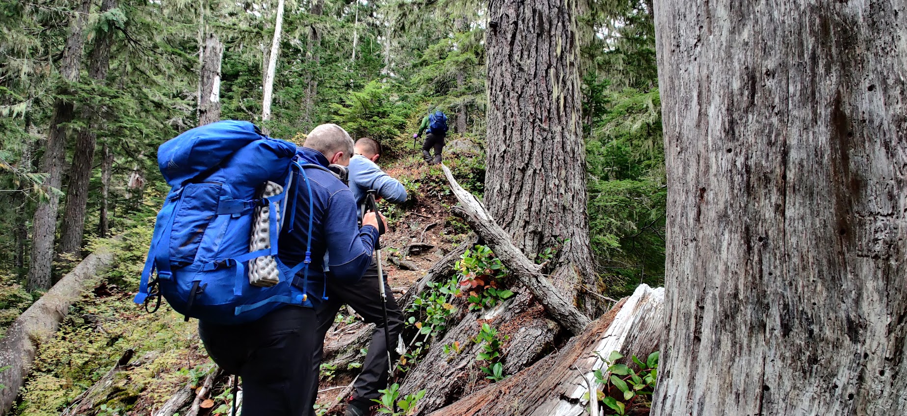
Then we worked our way around deadfall across the putative course of the creek draining Pigeon, which was not evident until we could hear water flowing above 3800'. The lower steeper section of the ridge was somewhat tedious due to obstructions. There is a game trail higher up where the ridge becomes more defined. The approach to the summit is less brushy if you circle around to the west.
Nice views from the top.
At a moderate pace we took 3:50 on the ascent, and 3 hours on return.

We drove road 73 back back past the Lake Ellinor/Grand Park access on the return; this road is more potholed than 75.