Trip Report
Alpine Scramble - Mount McLoughlin
Wonderful Scramble to one of the Tallest volcanoes in the Southern Oregon Belt
- Wed, Aug 3, 2022
- Alpine Scramble - Mount McLoughlin
- Mount McLoughlin
- Scrambling
- Successful
-

- Road suitable for all vehicles
-
Well maintained road - to the PCT junction. Parking lot has spots for 15-20 cars. Its a PCT restoration point as well
After laying low for a couple of days to avoid thunderstorms and rain in Klamath falls, we set out to climb Mount Mcloughlin (9,495ft) on Wednesday 3rd August.
Mcloughlin is the southern most volcano in Oregon, which also turned out to be my 15th Cascade volcano.
We had stayed in Bend the night before, as we had previously driven down to California to climb Mount Lassen and neighbouring peaks. McLoughlin itself is not super technical - but some way finding skills come in very handy
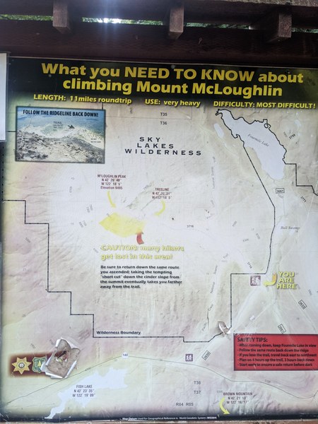
Once at the trailhead- you'll see signs about how people might get lost on the way down, as its very easy to lose trail along the east facing ridges
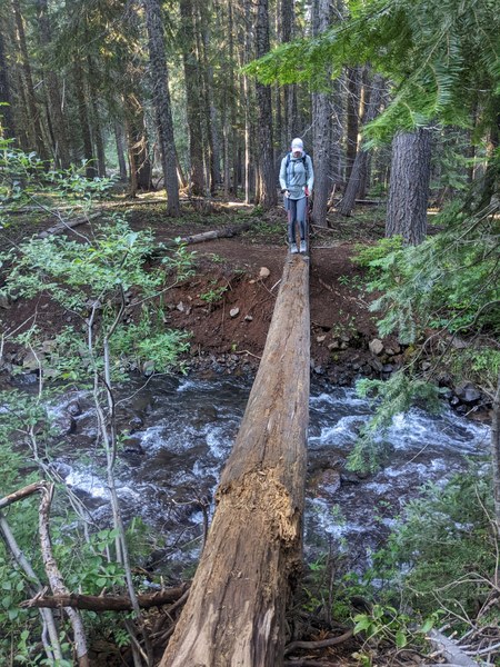
Once past the trailhead - you'll need to cross the creek named "CANAL" in the topo maps. There were crossings for Equine a little higher up on the stream and some solid logs to cross for humans a little lower on the stream. When we did it, the water levels were low
Picture of Jackie - crossing the logs
Once past the Bridge, we officially enter the Sky lakes wilderness area - In about a mile this connects to the PCT junction - Once at the PCT junction - follow right and look for another trail junction in 0.2 miles which goes to "Freye Lake" . Its a beautiful camping spot, but we were doing a day hike and we had a lot of mosquitoes to keep company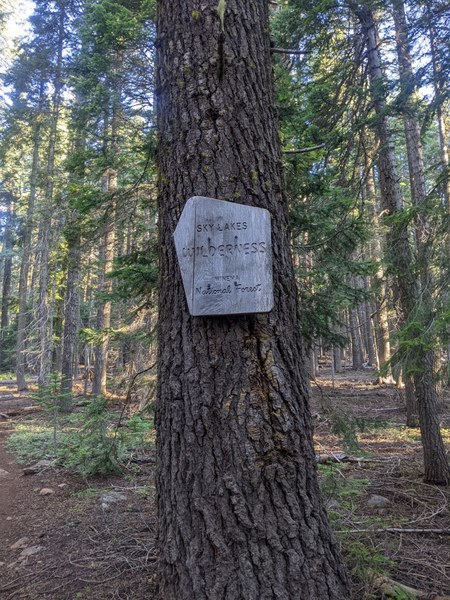
A little past the junction, keep following the trail that leans left gains gradually past the tree cover - The tree cover gradually breaks at about 2.5 miles in at 6500 feet. From here the trail becomes more rocky/ bouldery with hollow volcanic rock. It is advised that folks start very early on this trail, as there are no water sources and it gets really hot on sunny days. Lucky for us there was a gentle breeze keeping us company
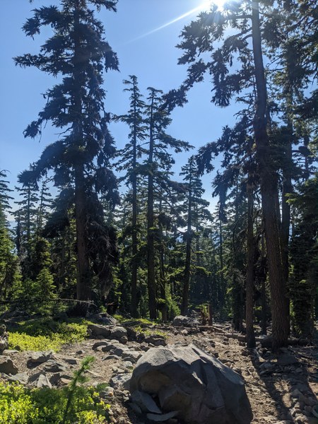
First views of the smoke from McKinney fire near Mount Shasta
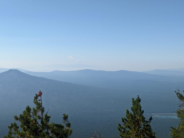
Looking at Fourmile lake - from 7000 feet - the views get better and better- with very little tree cover - at this point, we were smelling a little bit of smoke in the air as well
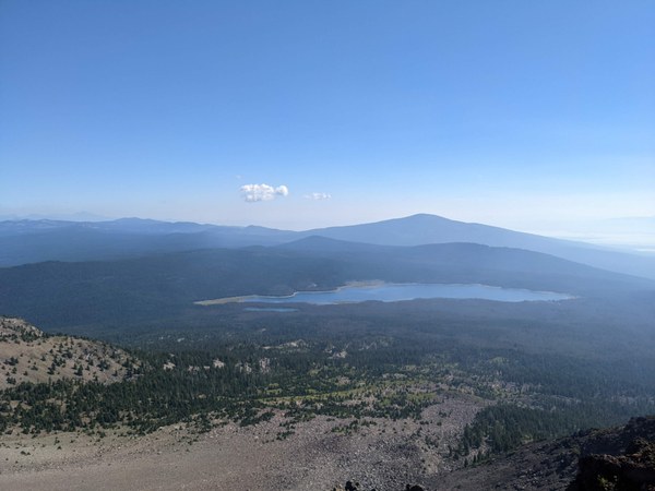
As you keep gaining the ridge - you'll hit first of the many sub peaks (as it appeared) - you'll notice geological evidence of quick glacial melt in these slopes, which have exposed the volcanic rock and remenents exposed to extreme temperatures. The rock here was particularly hollow - a little different from when we had climbed Thielsen a couple of days ago.
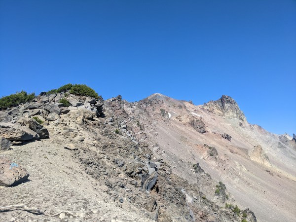
At the rock outcroppings - you'll start noticing white painted arrows pointing the direction of the trail - as it dissapears in the volcanic gravel. This is a reminder of the trail head warning that people do get lost on the way down- as there are no clear trail signs
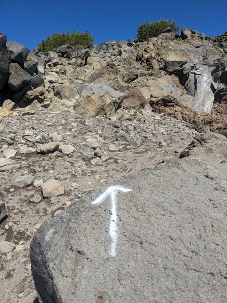
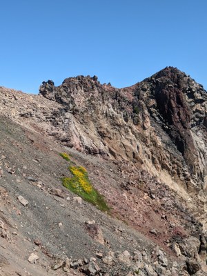
The last pockets of snow melt might have occured a few days ago ( a sad reminder of glacier which existed on the Eastern slopes 50-60 years ago). The bright green volcanic lichen and plants made a stark contrast to the rather monotonous geological terrain we were seeing till now
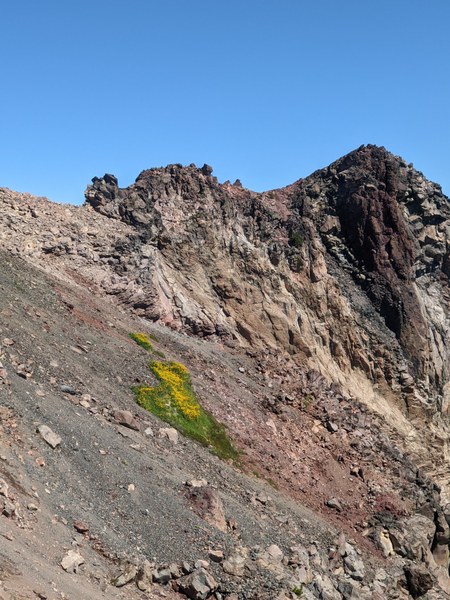
There are no technical sections on this route, except for tredmill type scree for the last 200 feet on the trail. A few summit pictures and we were quickly on our way down
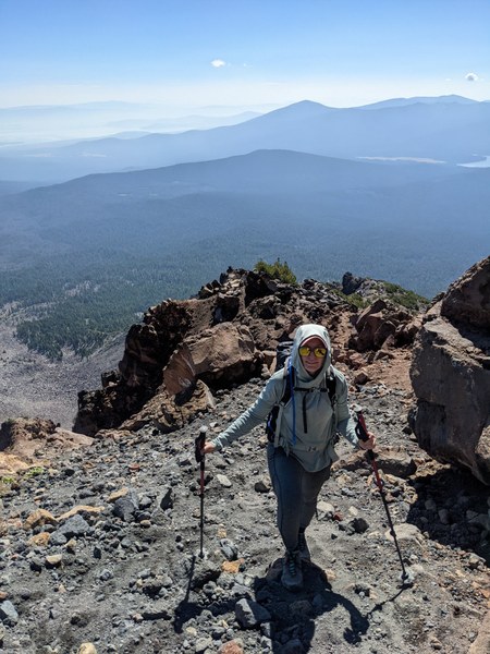
Summit Pictures
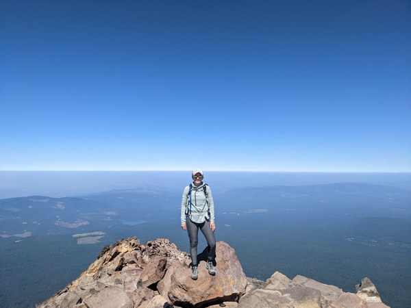
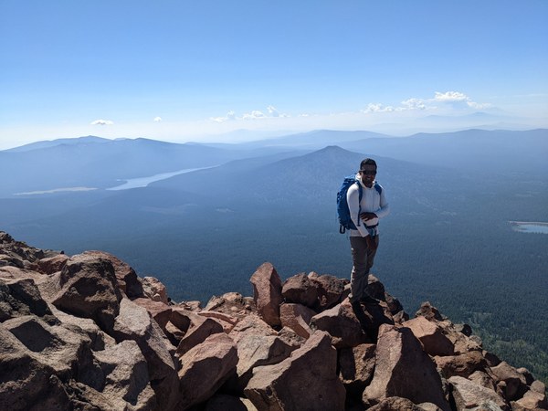
It took us about 5.45 hours for 10.5 miles and 4000 feet gain
Peak bagger link for GPS track : https://www.peakbagger.com/climber/ascent.aspx?aid=1984972
 Ananth Maniam (ஆனந்த் மணியம்)
