Trip Report
Alpine Scramble - Mount Deception, Gray Wolf Ridge, Baldy Traverse
A gorgeous and immersive alpine traverse to the summit of Mount Deception (2nd highest peak in the Olympic Mountains). Miles of ridge running as well as many tarns/basins bereft of other humans.
- Sat, Jul 29, 2023 — Tue, Aug 1, 2023
- Alpine Scramble - Baldy—Gray Wolf Ridge—Mount Deception Traverse
- Baldy & Tyler Peak
- Scrambling
- Successful
-

- Road suitable for all vehicles
-
Route is in great shape. As expected, crampons were needed for several snowfields as well as the stagnant Deception Glacier on Mount Deception’s northern aspect. The snow and ice in Surprise Basin seems even more melted out than in 2018 (lots of boulder hopping on the descent into Royal Basin from Surprise Col).
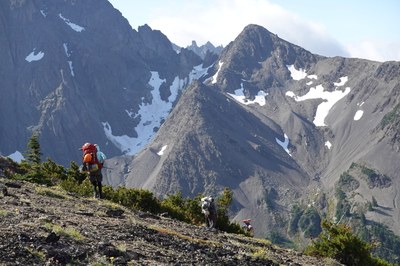
Our first day (one of the harder days at ~6000’ gain, made even more so by no running water until camp) was mitigated by using the upper trailhead at ~3200’ [47.88283°N 123.14274°W]. Here we take a break before tackling the ~7200’ high point on Gray Wolf Ridge (via a reasonable boot track near the ridge crest).
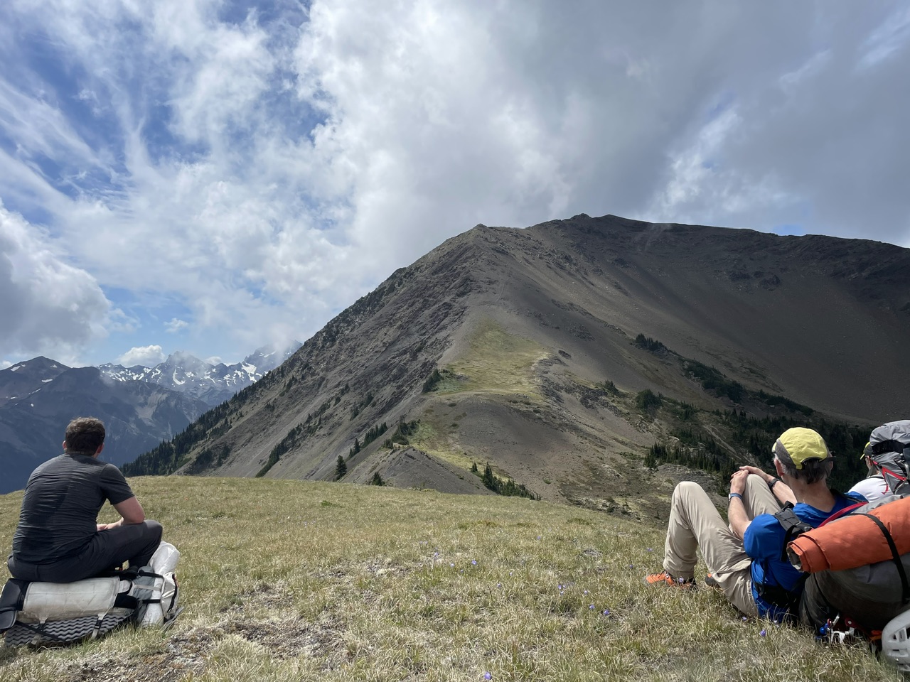
By Jesse Bengtsson)
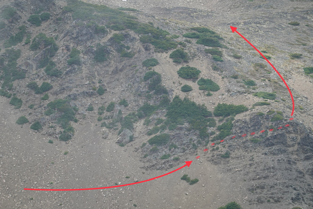
The lower Gray Wolf Ridge ‘summit’ (just under 7100’) is the more difficult to circumvent, with a key traverse at ~6500’ allowing easy access to it’s broad NW shoulder.
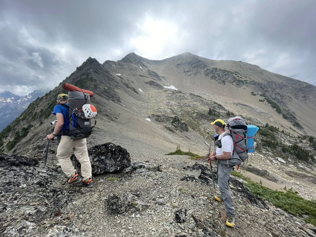 (By Jesse Bengtsson)
… a close up of this traverse near [47.86722°N 123.22166°W].
(By Leaf Petersen)
The final descent towards our first night’s camp. Mount Walkinshaw in the clouds with our campsite’s tarn on the far side of the forested ridge to scramblers right in this photo.
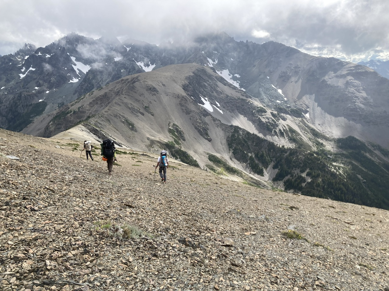
Almost there, one more ridgelet to cross…
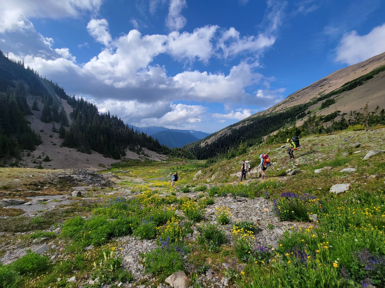 (By Leaf Petersen)
Finally, a well deserved meal after a tough first day (just under 11 hours).
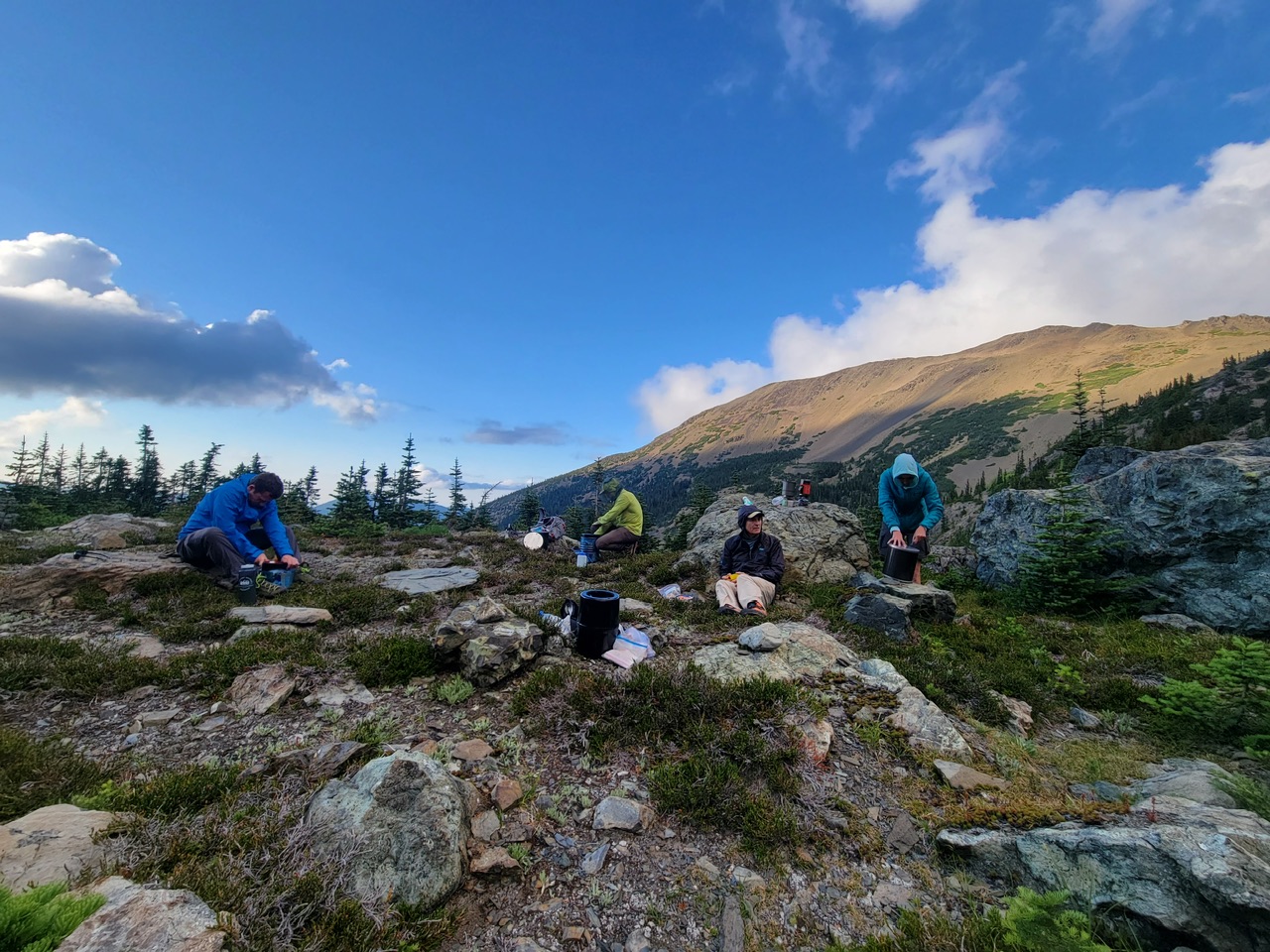
(By Leaf Petersen)
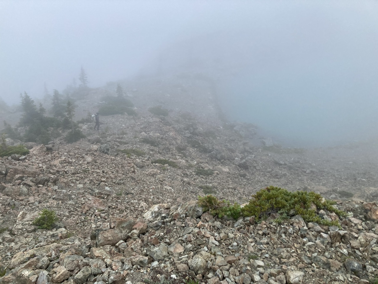
A foggy start to our 2nd day. The game trails seem to be fading a bit, possibly due to the absence of goats? This photo looks back towards our campsite tarn from the start of another key traverse [47°51.590'N 123°14.534'W].
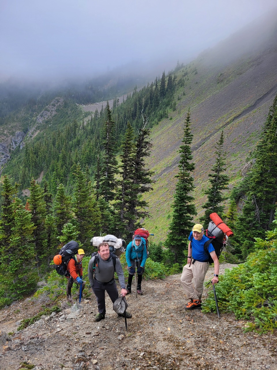 (By Leaf Petersen)
… leading to this choice point near [47°51.528'N 123°14.702'W]. Our consensus for future trips was to use the 2018 route (not as much exposure as 2021, but shorter and with less brush that this year’s 2023 choice).
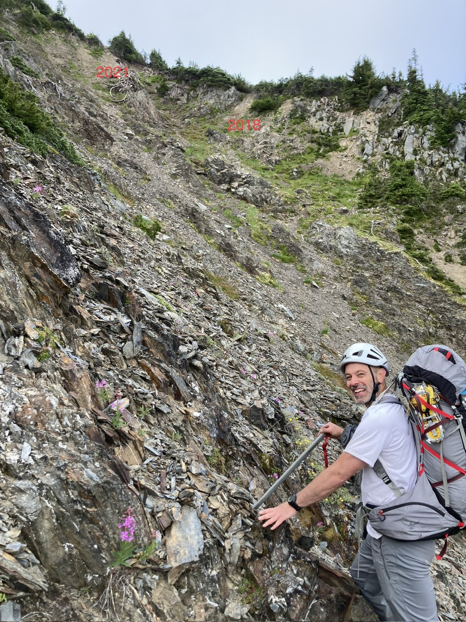
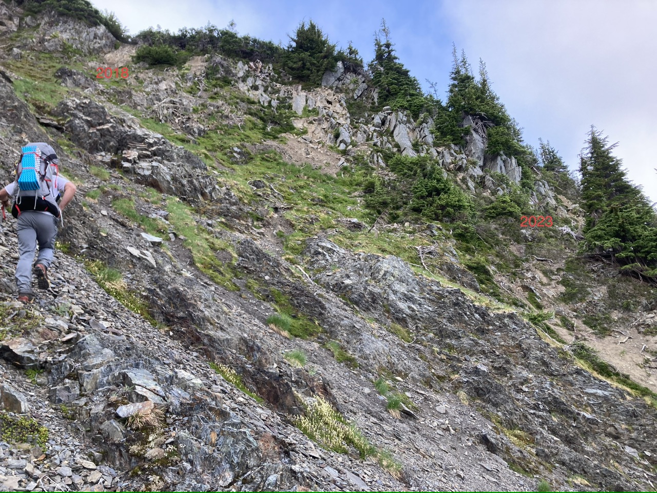
Looking back from this year’s route (2023) to the choice point
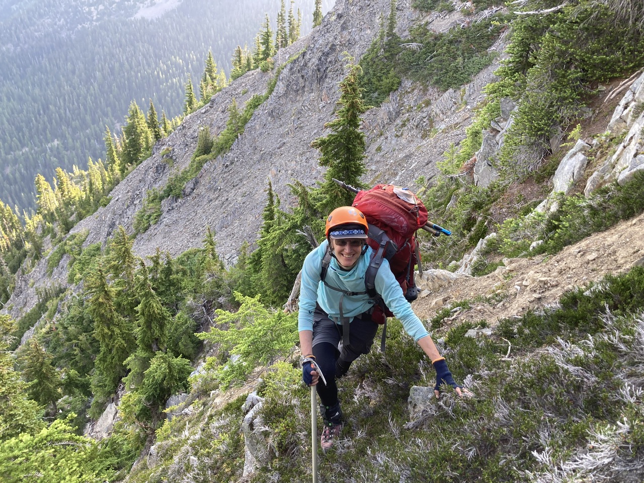
As we cross Walkinshaw’s NW ridge, Gilhooley Tower comes into view in the distance (where we’ll be 7 hours from now).
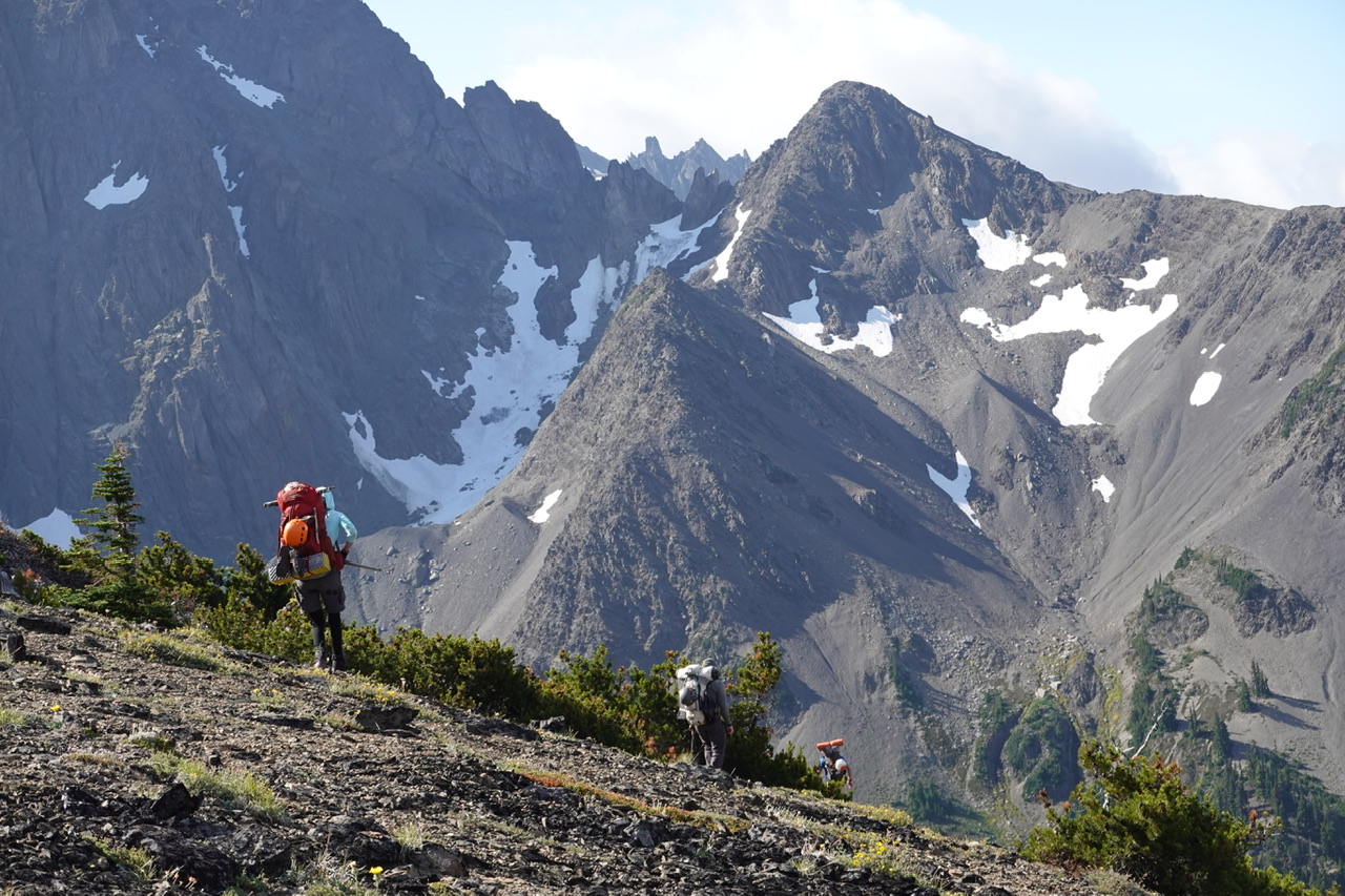 (By Leaf Petersen)
Tonight’s camp is the tarn just below the right ridge crest, with Surprise Col on the left (tomorrow’s exit route to Royal Basin).
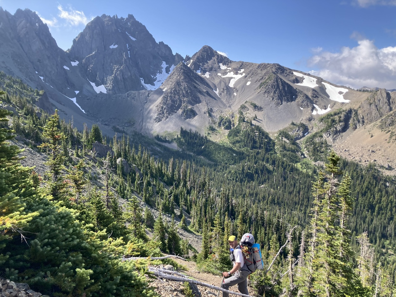
With overnight gear deposited near the tarn, we cross the ridge and get our first glimpse of Mount Deception [tarn + 0.5 hour].
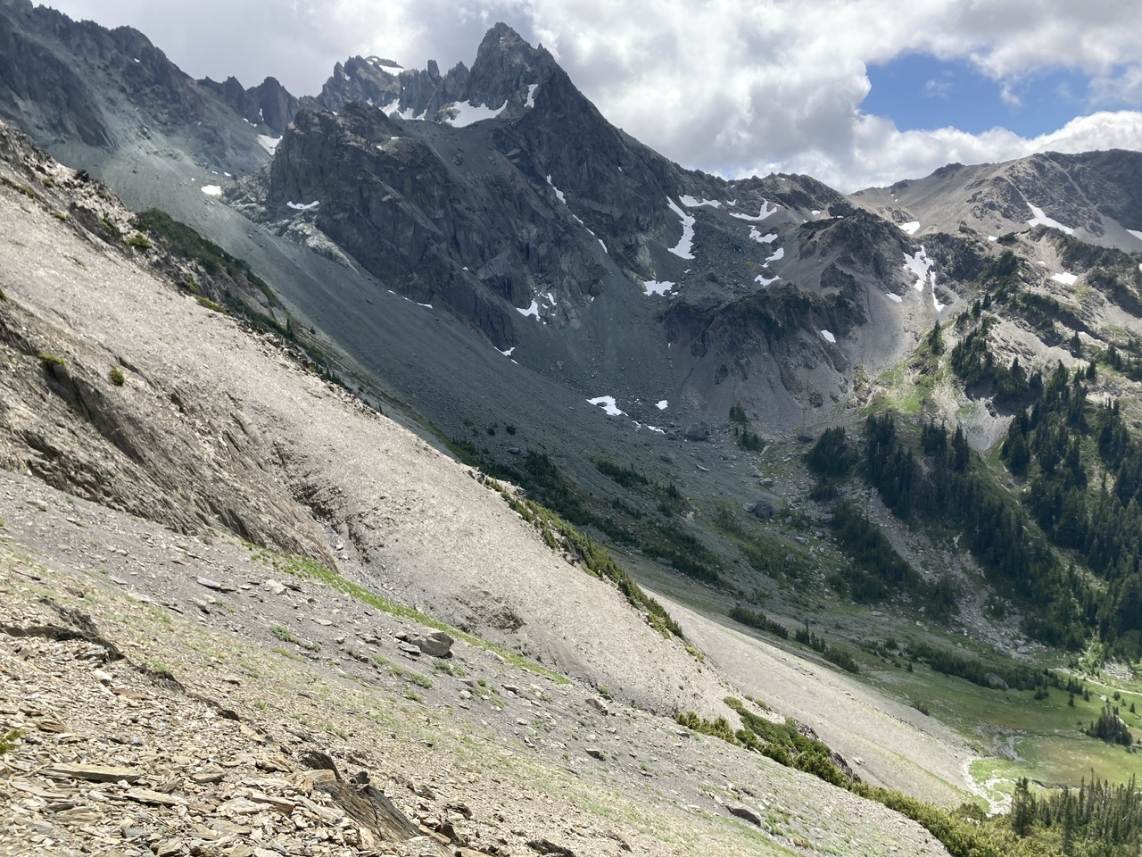
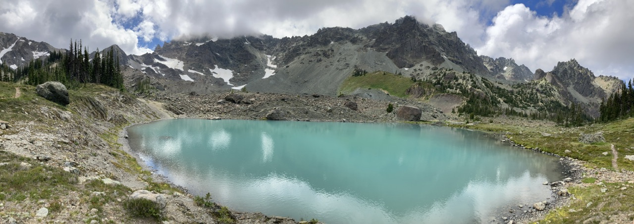
Gorgeous meadows in the valley leading to Deception Glacier (today’s low point of ~5400’) [tarn + 1 hour]
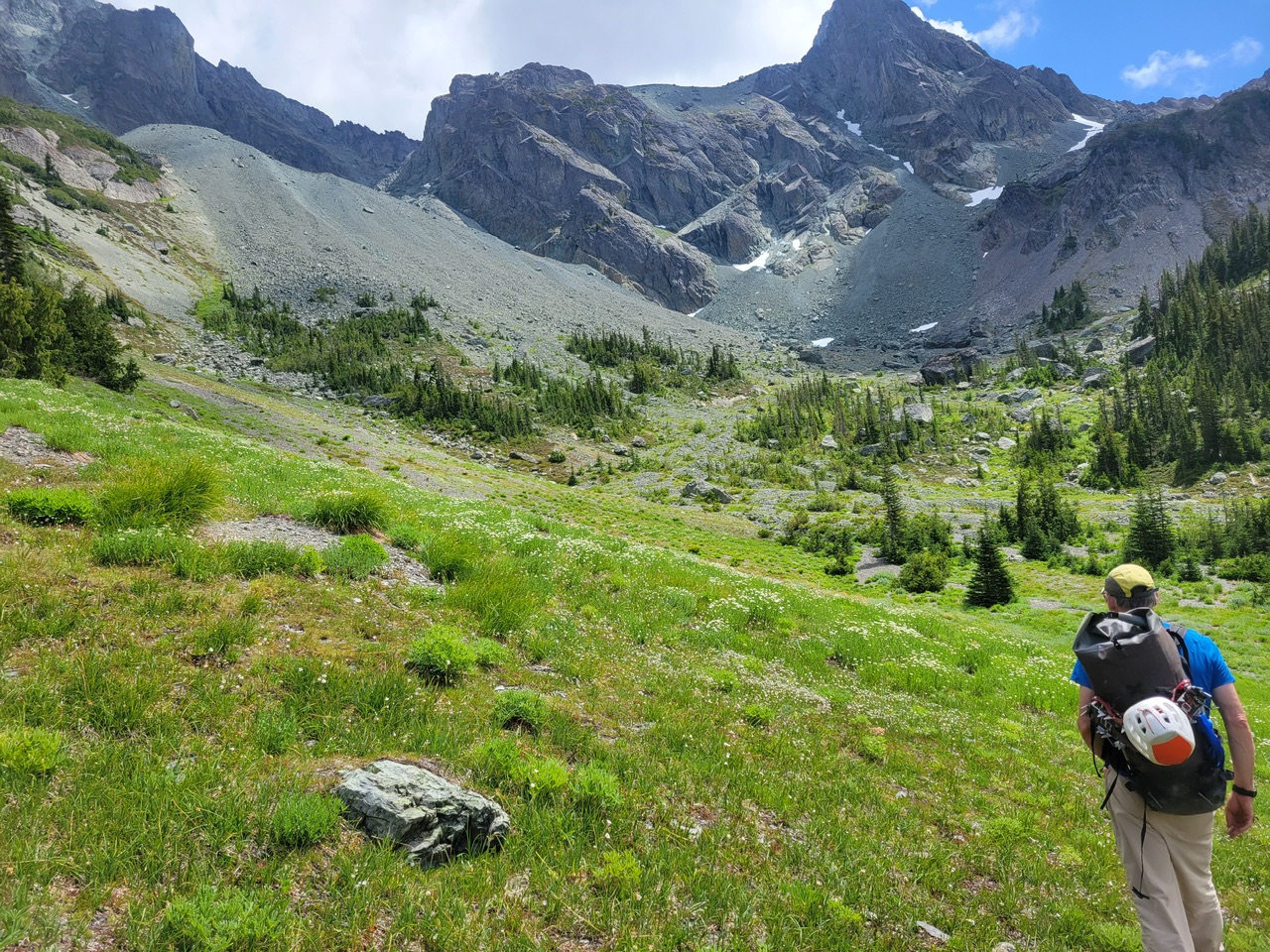 (By Leaf Petersen)
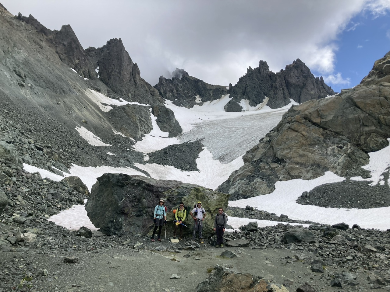
Deception Glacier, with the col leading to the upper slopes of Mount Deception on the upper right [tarn + 2 hours]
A short section of rock encrusted water ice [tarn + 2.5 hours].
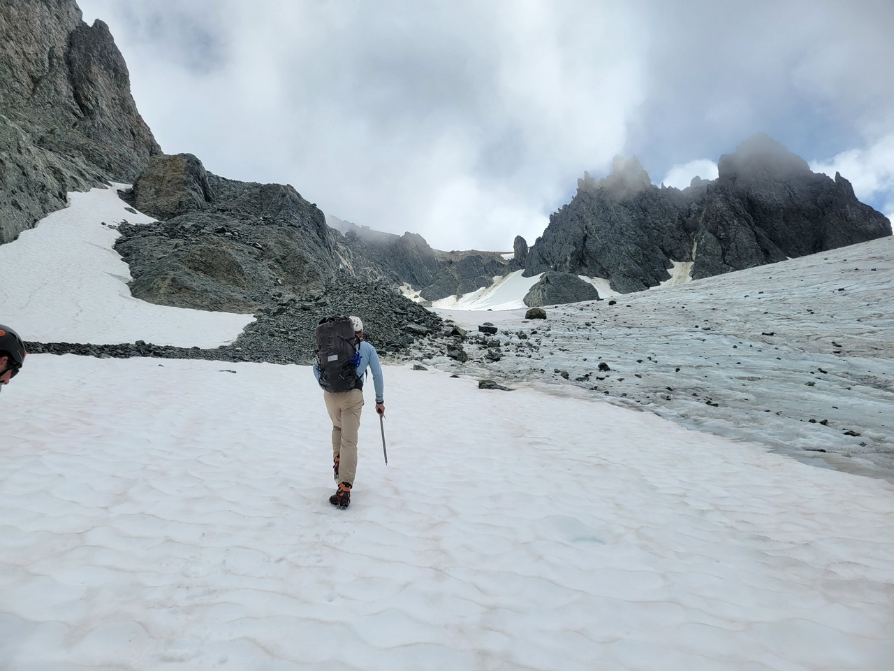
(By Leaf Petersen)
Almost to the col…
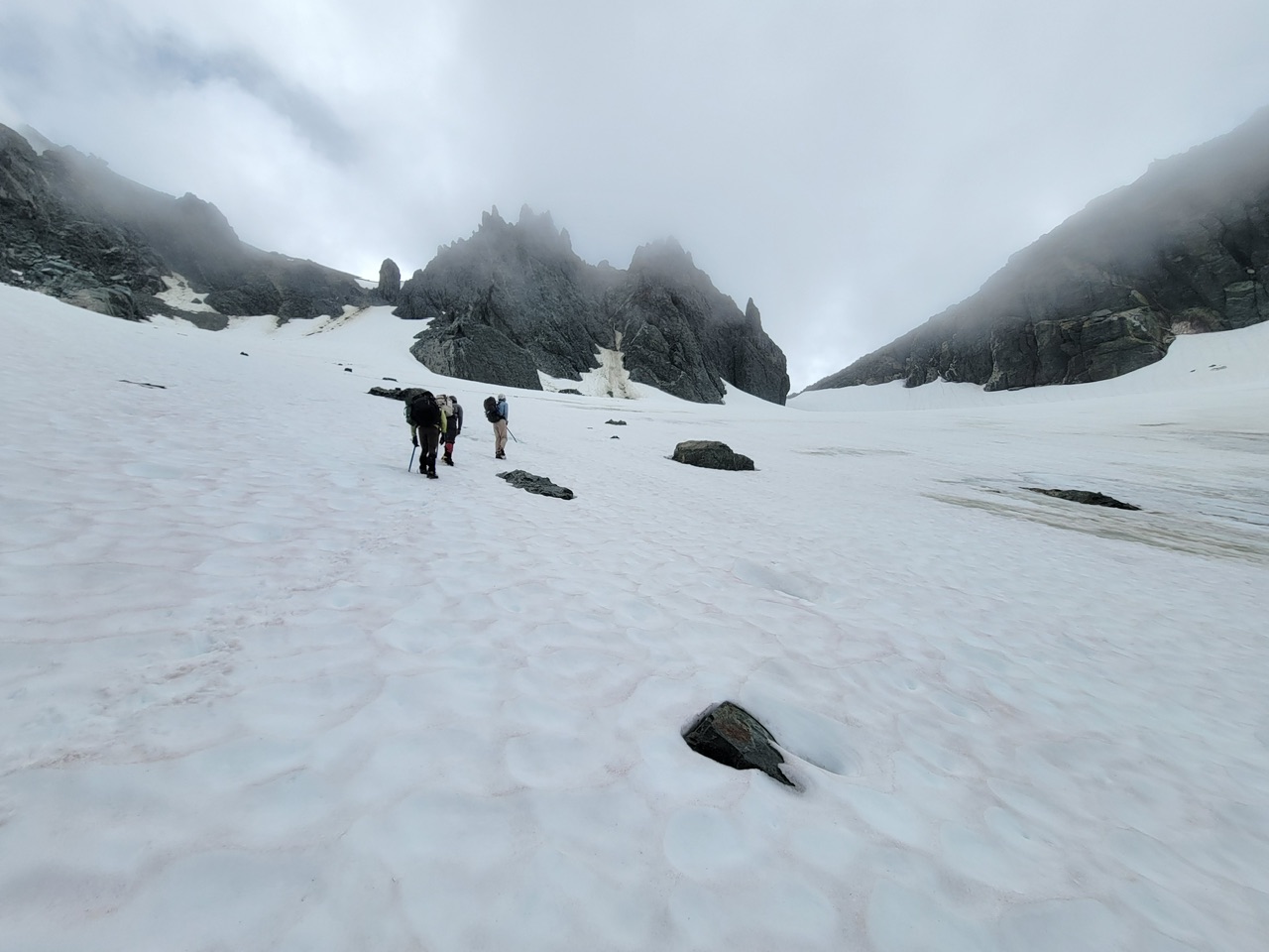 (By Leaf Petersen)
Mount Andersen and West Peak from Gilhooley Col [tarn + 3 hours].
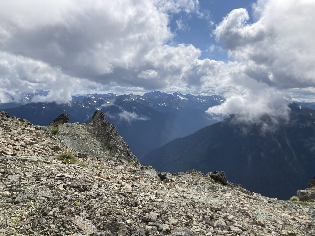
Summit of Mount Deception [tarn + 4 hours].
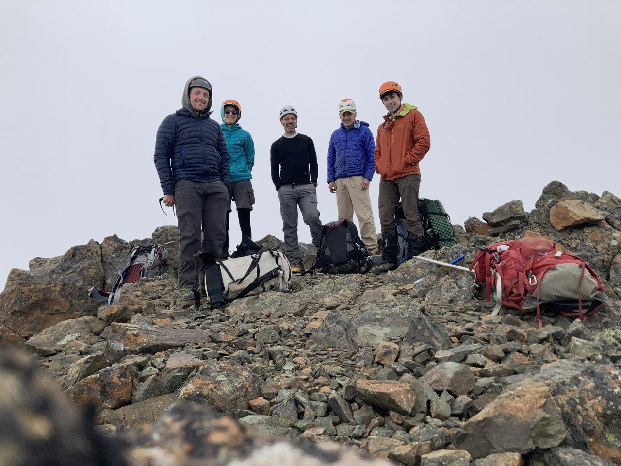
Gilhooley Tower from above.
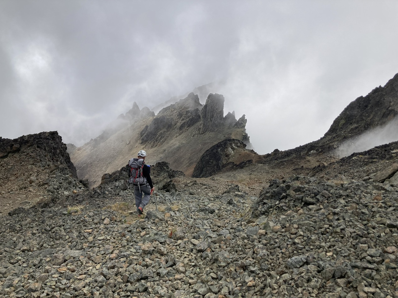
Just below Gilhooley Tower with a last glimpse of Mount Deception’s summit [tarn + 4.5 hours].
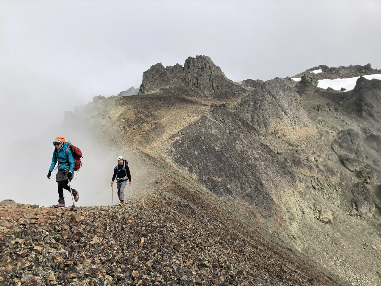
Access to Gilhooley Col from Deception Glacier was very reasonable (shown here on descent). Not sure how long this will continue in future years (depends on terrain under the glacier).
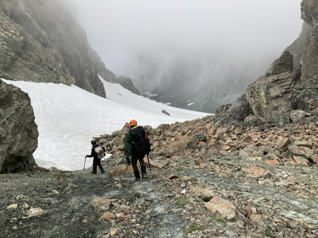
A glimpse of Needles peaks as we leave the Deception Glacier basin [tarn + 5 hours].
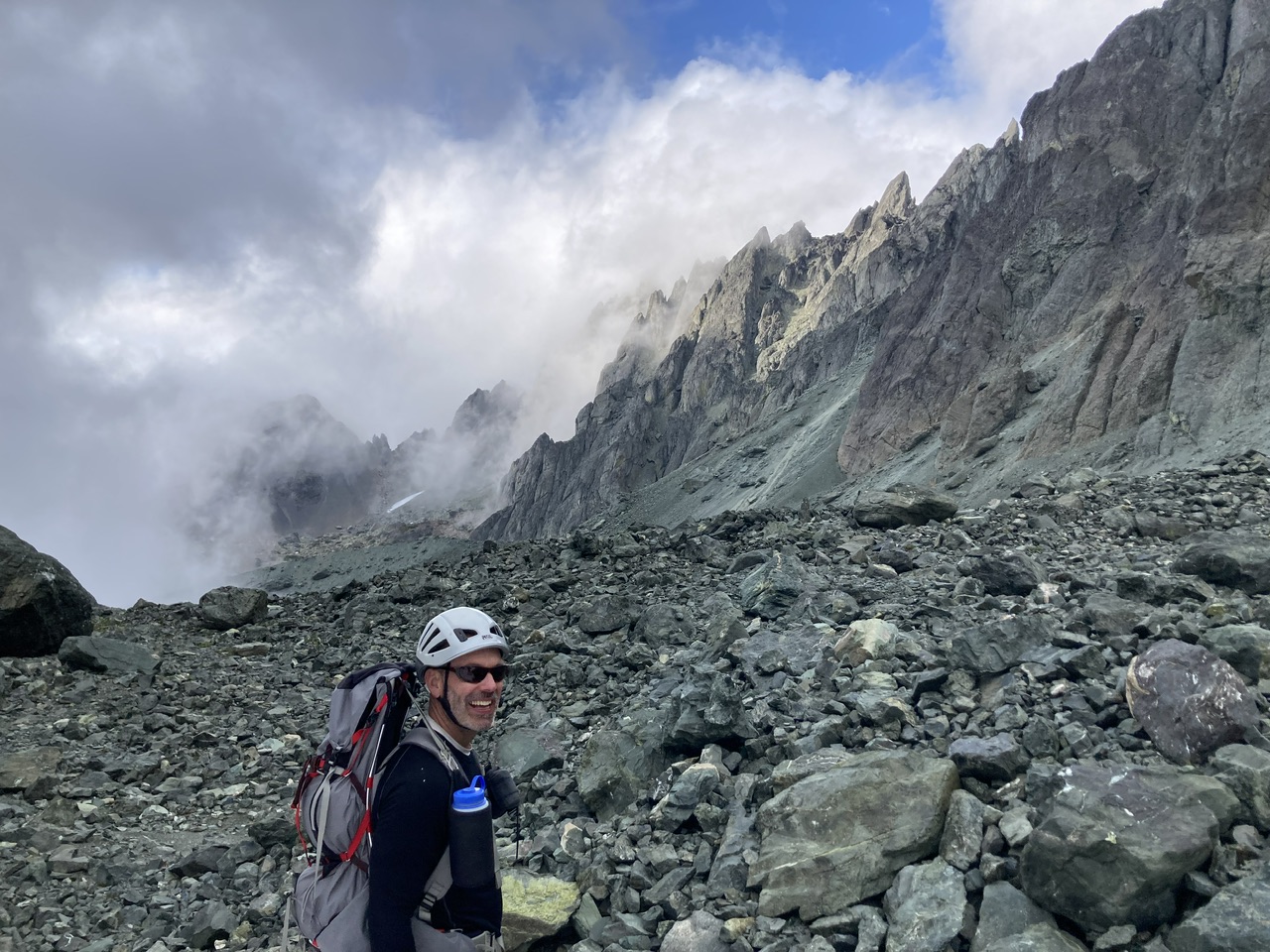
After slow going on descent through very loose rock (plus our last 900’ of gain on a 12 hour day) we finally reach camp [tarn + 8 hours].
… for a well deserved night’s rest.
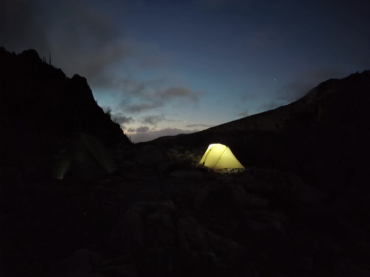
(By Leaf Petersen)
A great start to our 3rd day.
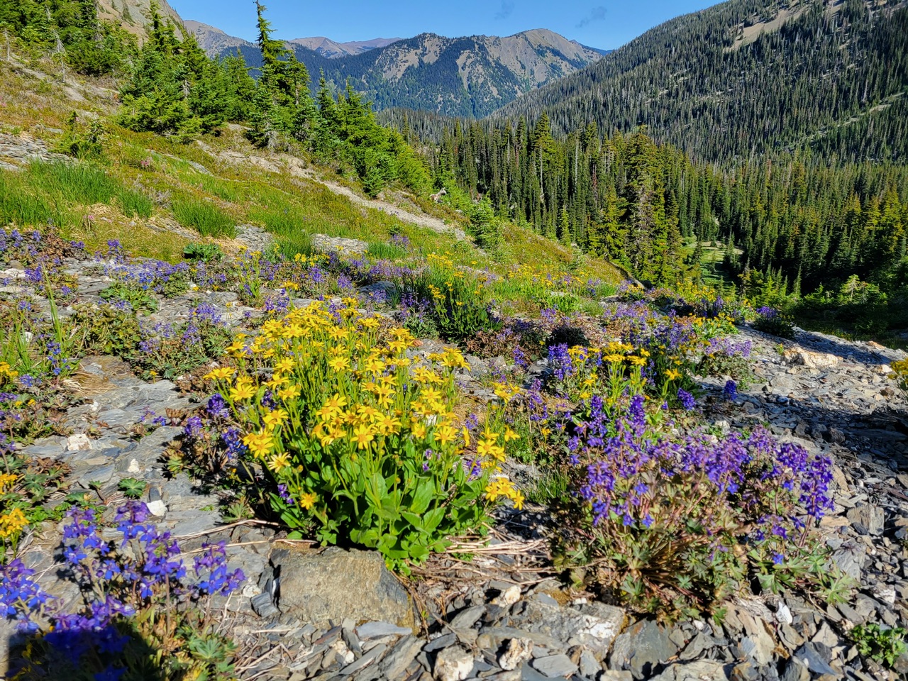 (By Leaf Petersen)
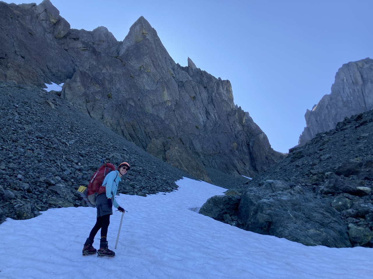
A short time later, crampons (plus the cool shade) made fast work of a convenient snow finger.
The final slope on the NW side of Surprise Col was quite challenging with copious amounts of small (and not so small) rocks just at the angle of repose. We were extremely glad to have our small party size of 5. For this last part we split into left side and right side groups, with frequent zig-zagging to stay out of one another’s fall line.
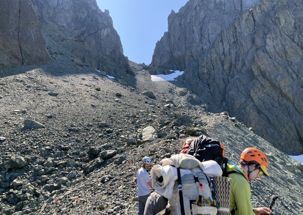
Over the col and descending towards Royal Basin.
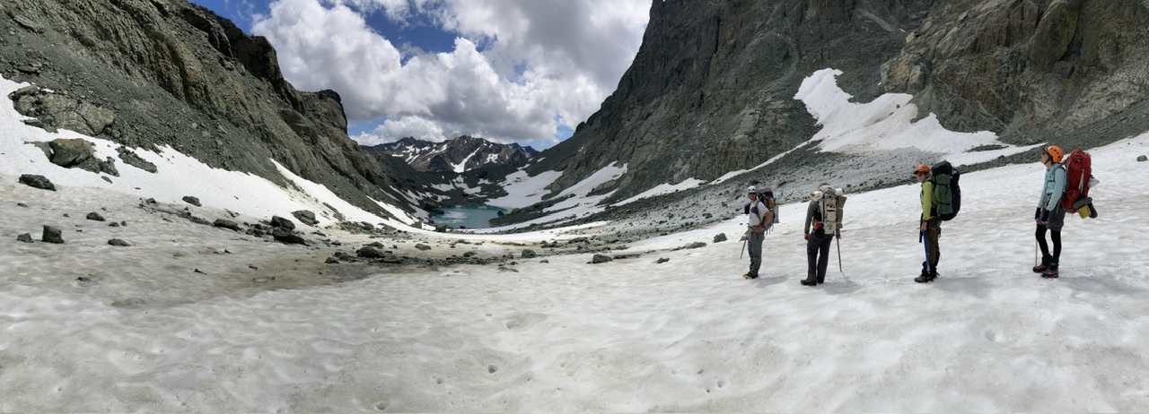
Looking back at Surprise Col with much less snow than 2018.
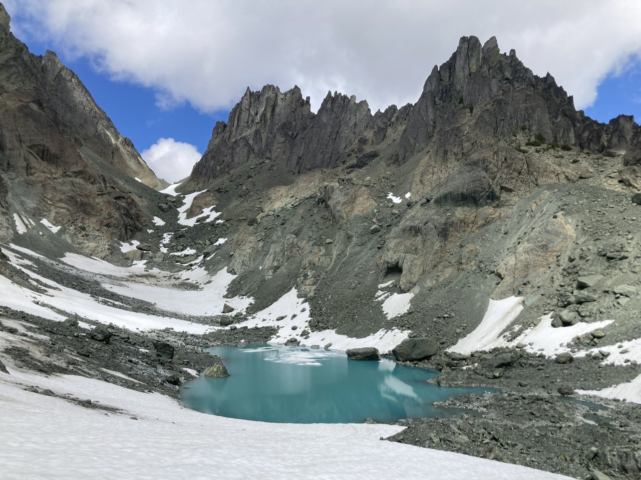
With the number of terminal moraines from the glacier that occupied Surprise Basin at one time (from the successive advances and retreats), the descent into Royal Basin is not trivial. We all felt that the best way to negotiate the last and most significant moraine is at its southern end with a descending traverse to the south (just above the scrambler in the left side of this photo).
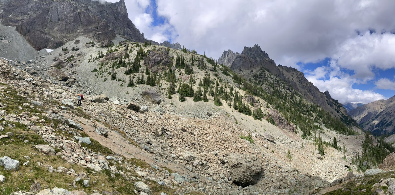
Upper Royal Basin.
The summits of Gray Wolf Ridge in the distance, our prior line of travel just 2 days ago.
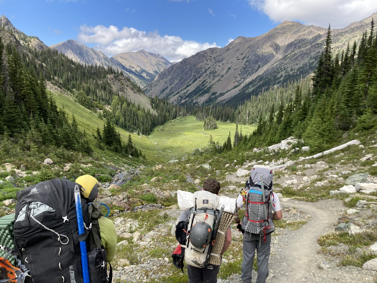
Time for a snack in the meadows below Royal Lake.
 (By Leaf Petersen)
An incredible trip for well trained and conditioned parties, made even better this year by cooler temperatures (at the cost of some reduced views but with added drama in the photos ;). The total was ~14000’ of elevation gain spread over ~30 miles. Originally we’d planned on an extra day allowing an exit via Petunia Peaks and Goat Lake, but a bit of tendinitis on my part suggested a shortening from 4 days to 3 days which our party members graciously acceded to. With the reduced snow pack/extra boulder hopping in Surprise Basin the 3 day version of this trip (with exit via the Royal Basin and Lower Maynard trails on day 3) is probably the best way to do this trip. Photos from this and other trips to this venue can be seen here.
 Dave Morgan