Trip Report
Alpine Scramble - Lux Peak & Sopwith Camel Mountain
Two seldom-climbed peaks above the PCT near Hope & Mig Lakes
- Tue, Jun 21, 2022
- Alpine Scramble - Sopwith Camel Mountain
- K9 (Point 6242)
- Scrambling
- Successful
-

- Road rough but passable
-
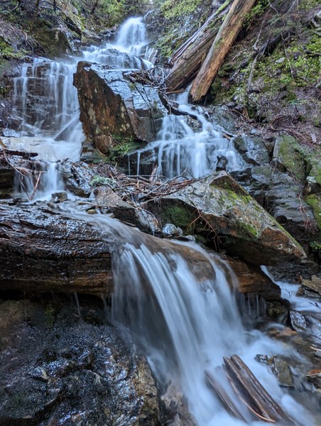
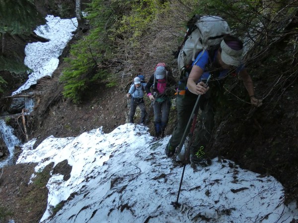
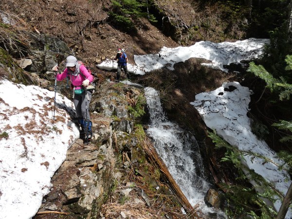
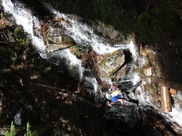
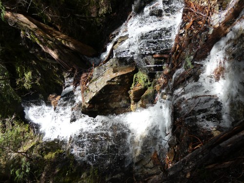
The snow begins on the Tunnel Creek Trail at about 3600 feet. The trail crosses two waterfalls and just past the second waterfall, there is a steep snow bank blocking the trail with a drop-off, which requires ice axes to safely cross this brief section.
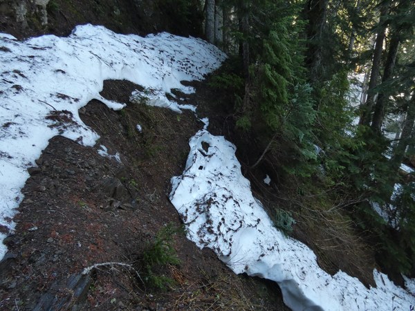
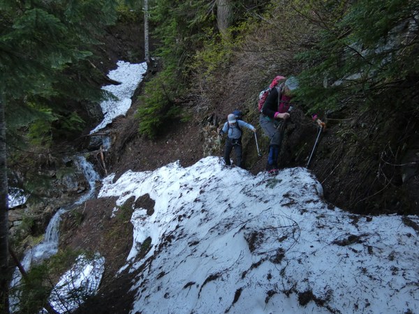
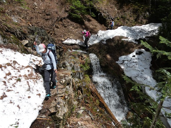
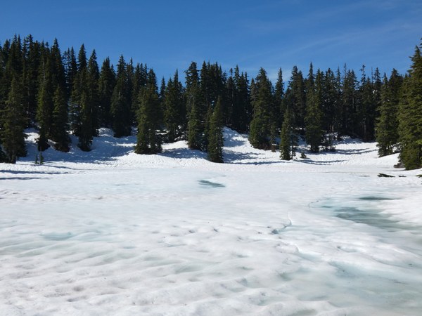
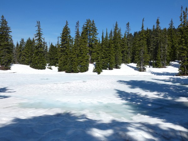
About 1/4 mile from the PCT the trail is completely lost under snow and on the way in we went too high above the trail but still fairly easily reached the PCT. The entire Hope/Mig Lakes basin is still 100% snow covered with both lakes still mostly covered in snow and ice. The PCT from Hope Lake to Lux Peak is completely lost under snow and while we used the trail as a guide, we often cut the trail in many places. Route up Lux Peak is straightforward steep open snowy forest.
GPX Track: https://www.peakbagger.com/climber/ascent.aspx?aid=1946609
Gear: Ice ax, microspikes, poles
Road to Tunnel Creek TH has a giant deep puddle just off the highway, but otherwise pretty good shape. We set out at 7:35 and reached snow about halfway up the trail at around 3600 feet. As the trail gets closer to the PCT, the snow becomes more consistent and requires some routefinding at a point where the trail is completely lost. Microspikes are helpful.
We reached the PCT near Hope Lake at 8:55 and were surprised to see the lake still mostly covered in snow and ice! We proceeded northbound on the PCT, which was completely snow covered with no trail markers. On the way up to Mig Lake, there were many places where we just used the trail as a guide as we cut up the fairly easy forest slopes. We reached Mig Lake at 9:25, which was also covered in snow and ice.
We continued east along the general route of the PCT through an open snowy basin, passing the north side of Point 4733. We lost about 200 feet to a big flat area at the west base of Lux Peak to the north of a pond. From here we ascended the west slope of the peak, generally following the county line up steep but open snowy forest. The snow is firm and a little icy in places, so micospikes are helpful.
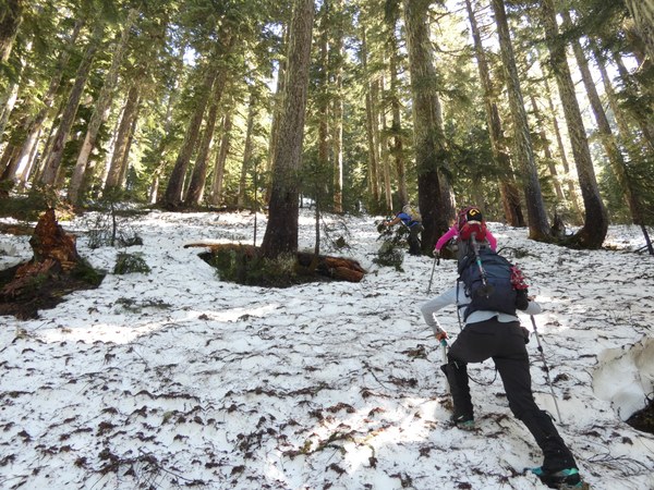
At 5400 feet we gained the steep west ridge which we followed steeply up for the final 250 feet to the summit, arriving at 11:20.
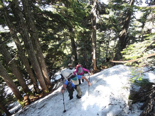
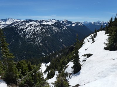
The views are actually best a little to the south along the summit ridge, with views north toward Glacier Peak, east toward Jim Hill Mountain and Bulls Tooth, south toward Mt. Stuart, The Cradle, and Mt. Daniel, and SW toward the Thunder Mountain group.
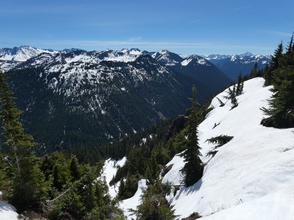
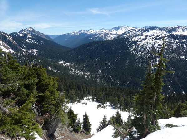
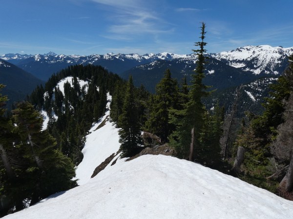
We carefully made our way back down the west ridge, downclimbing some from brief steeper slopes and retraced our route back to Mig Lake, returning to the lake at 1:30.
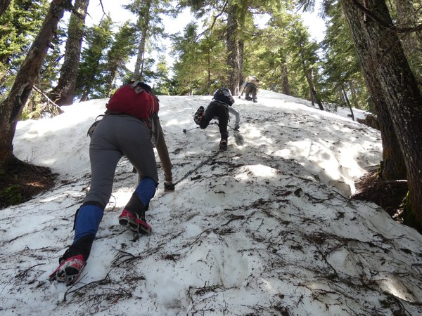
We headed north to gain the east ridge of Sopwith Camel Mountain, then ascended the east ridge to the forested summit to arrive at 2pm. We had a small view back toward Lux Peak.
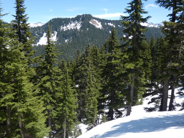
We briefly descended the west ridge, then turned due south to descend open broad forest slopes to return to the PCT to the west of Mig Lake. We returned to Hope Lake at 2:40 for one last short break.
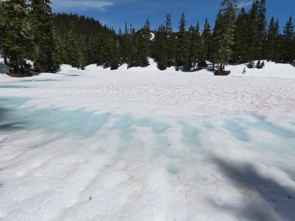
We hiked back out the Tunnel Creek Trail to return to the trailhead at 4:50.
 Chris Pribbernow