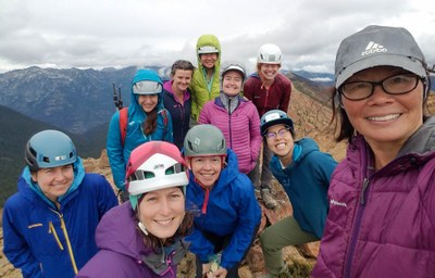
Trip Report
Alpine Scramble - Highchair Mountain & Bootjack Mountain
Plan B when Sahale wasn't possible due to weather/conditions. A lovely, fun ridge run between these 2 peaks.
- Sat, Sep 8, 2018
- Alpine Scramble - Highchair & Bootjack Mountains
- Highchair & Bootjack Mountains
- Scrambling
- Successful
-

- Road suitable for all vehicles
-
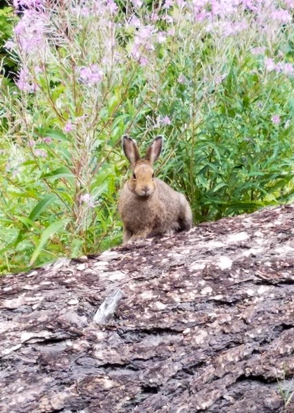
Plenty or parking. NW Forest Pass required. Last 4 miles on well graded gravel. The bunny that welcomed us when we arrived at the TH. Two people got stung while on the switchback so the wasps are now.
The Blackjack Ridge Trail #1565 was in good shape. Many, many switchbacks till finally arriving at the ridge. Views open up on the ridge and the trail goes between old, silver snags.
Make sure to stay on the trail and not the spur (about 6200') that will take you downhill. Follow the trail and then the short bootpath to the summit of Bootjack Mtn which is very close to the main trail. First view of Bootjack. Trail follows the ridge.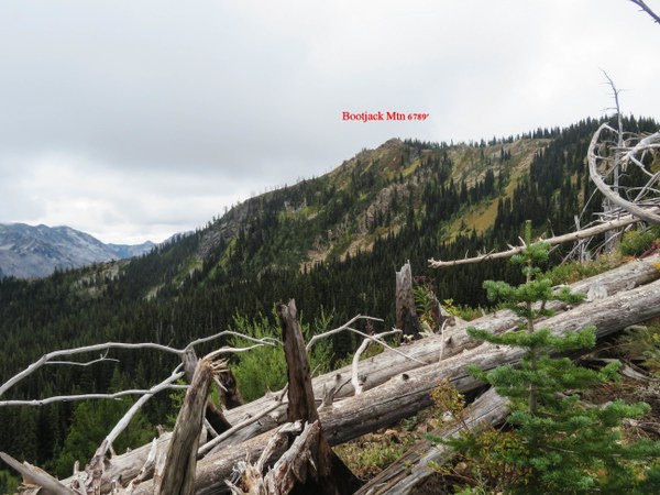 Photo below is Bootjack's easy to access summit.
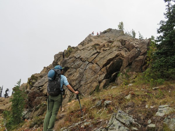 From the summit to Highchair Mtn is an easy and fun class 3 scramble on a ridge. Descending Bootjack and heading for Highchair.
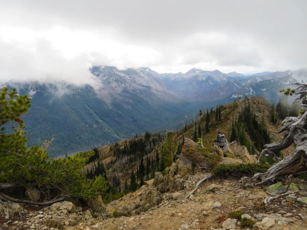 View from just below the summit.
 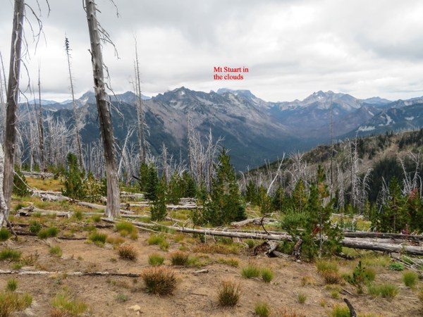 Looking back at Bootjack.
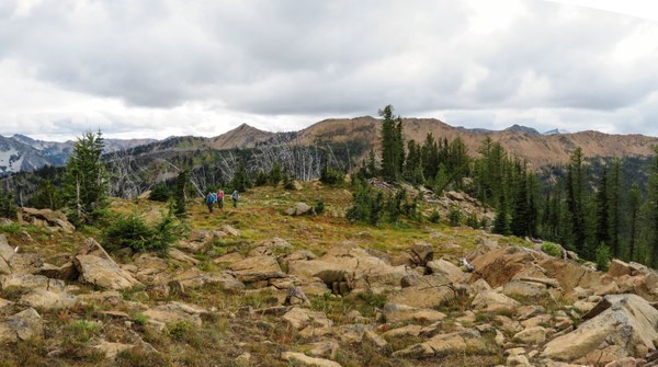
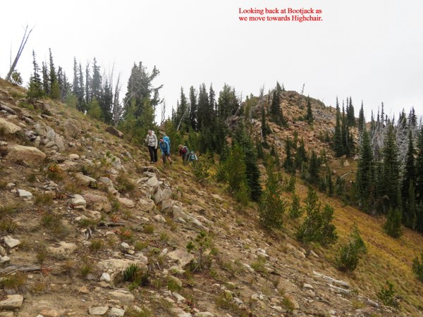 On the ridge with Highchair partially obscured in the clouds. Larch trees appearing and becoming more abundant as we continue.
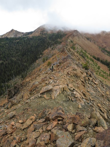
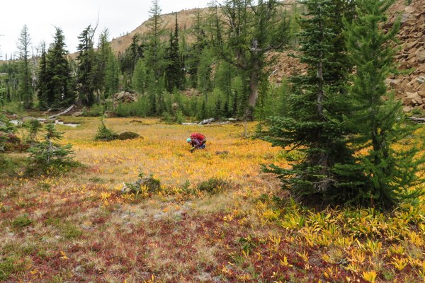
Another look back at the ridge. 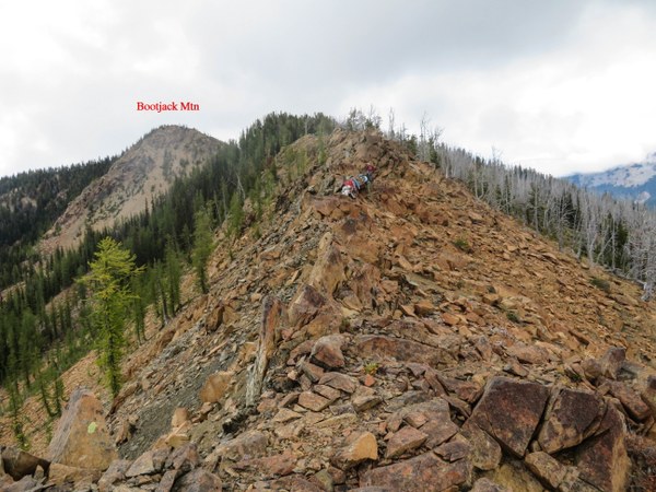 Dried tarn at the basin (around 6400') below Highchair Mtn where there is water in early season. We encountered no water on the trip except very close to the trailhead.Some beautiful color although the larch have not started to turn color at all.
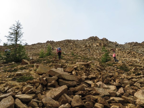
  From the basin start heading up on the talus towards the summit, around 600' gain to Highchair's summit (7016'.)
 On the summit looking south.
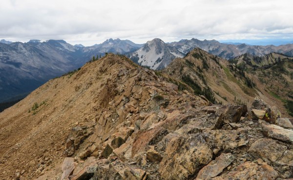 Looking east.
 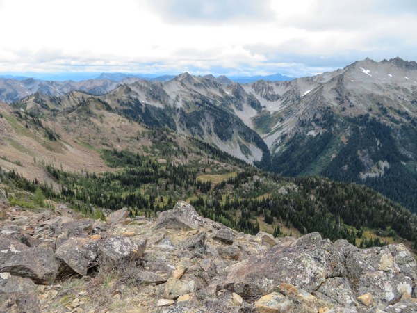 Looking northerly at our route.
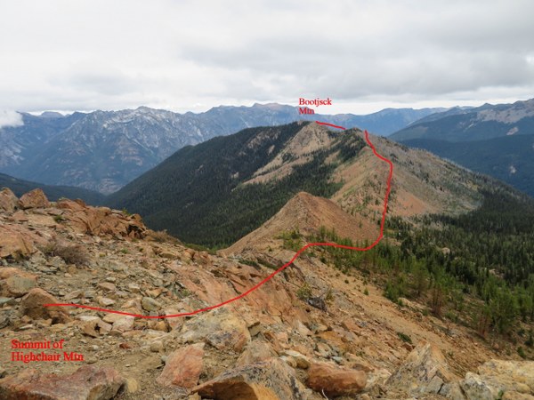 Heading back.
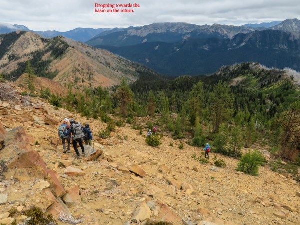 Another ridge shot while looking back.
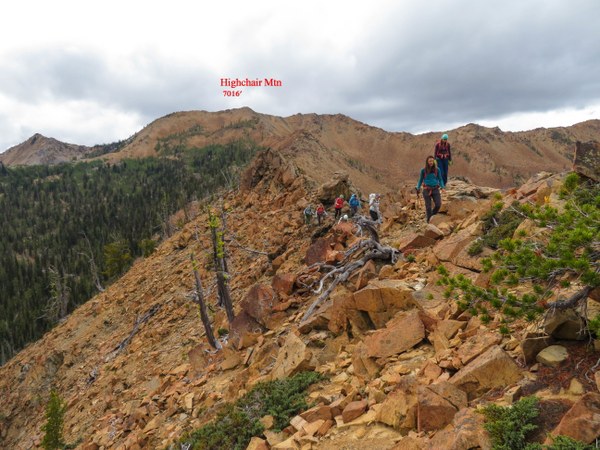 A last photo.
Depart TH 9:40am
Stops at 2 summits and basin about 1 hour total
Return TH 6:20pm
11+ miles/5100' gain
 Susan Shih