Trip Report
Alpine Scramble - Double Peak
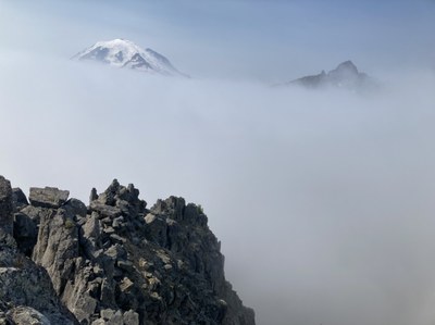
A very strenuous/pristine trip (~14 miles, ~5400’ gain), and unlike the usual Double Peak outing, it had zero bugs, zero devils club, and zero avalanche hazards. This new route required all the game-trail-following/brushcraft skills in our respective toolsets, made even more challenging by persistent clouds that added a bit of mystery…
- Sat, Sep 3, 2022
- Alpine Scramble - Double Peak
- Double Peak
- Scrambling
- Successful
-

- Road suitable for all vehicles
-
Other than clouds obscuring our views (the reason for 4 stars versus 5), conditions were absolutely perfect. The rest room repairs at the White River entrance station have been completed (no more porta-potties).
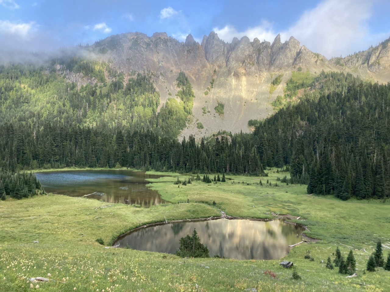
We made good time from the cars and took a quick break near Owyhigh Lakes…
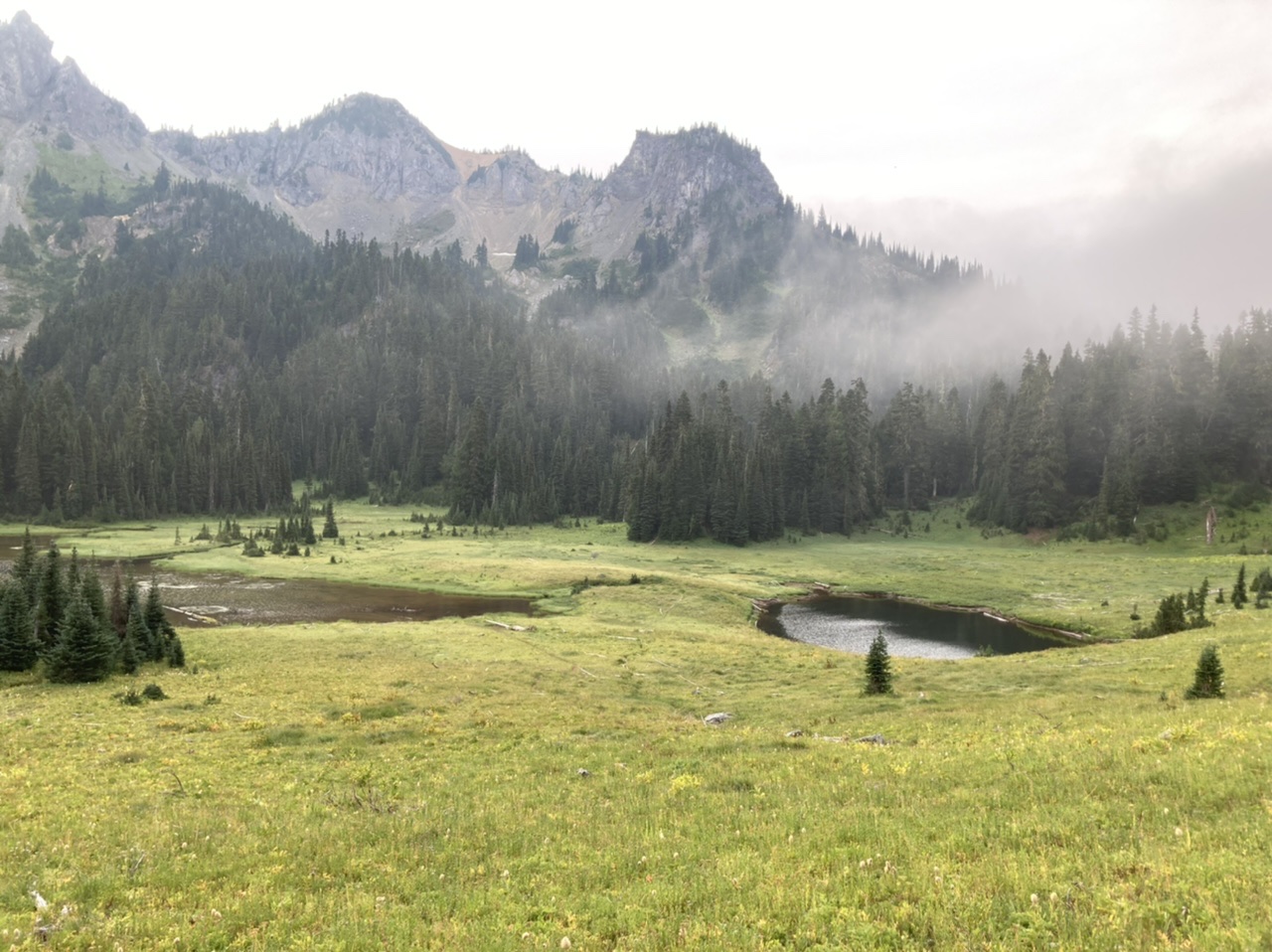
… before continuing on the trail to just below ~5200 for the cross country portion of our journey. Although our morning ascent followed the western extent of this flat area (thinking higher would be drier ;), it was actually very boggy and on our return we used the eastern/lower edge (it was much drier).
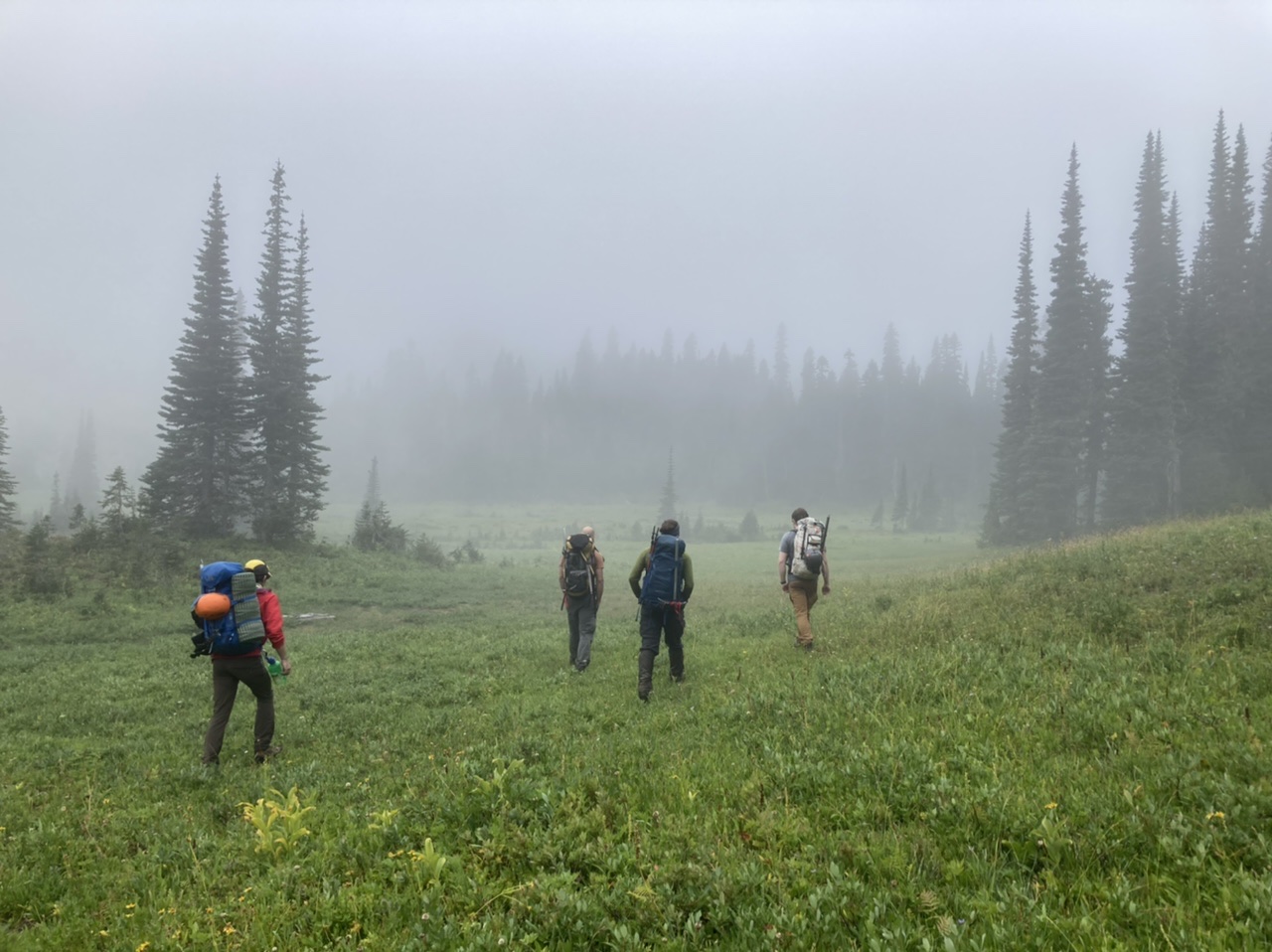
After continuing south towards the ridge separating Kotsuck Creek from the Needle Creek Basin we intersected a most excellent east trending game trail (intermittent, aren’t they all?) that ultimately crossed the ridge at ~5400’. Surprisingly the game trail continued ascending on the south side of the ridge to ~5500’ before traversing/descending to cross Needle Creek at ~5000’. Along this traverse is an opportunity to see our future route up Double Peak (unfortunately hidden by clouds during our ascent, but partially visible on our return in the afternoon, making this photo possible).
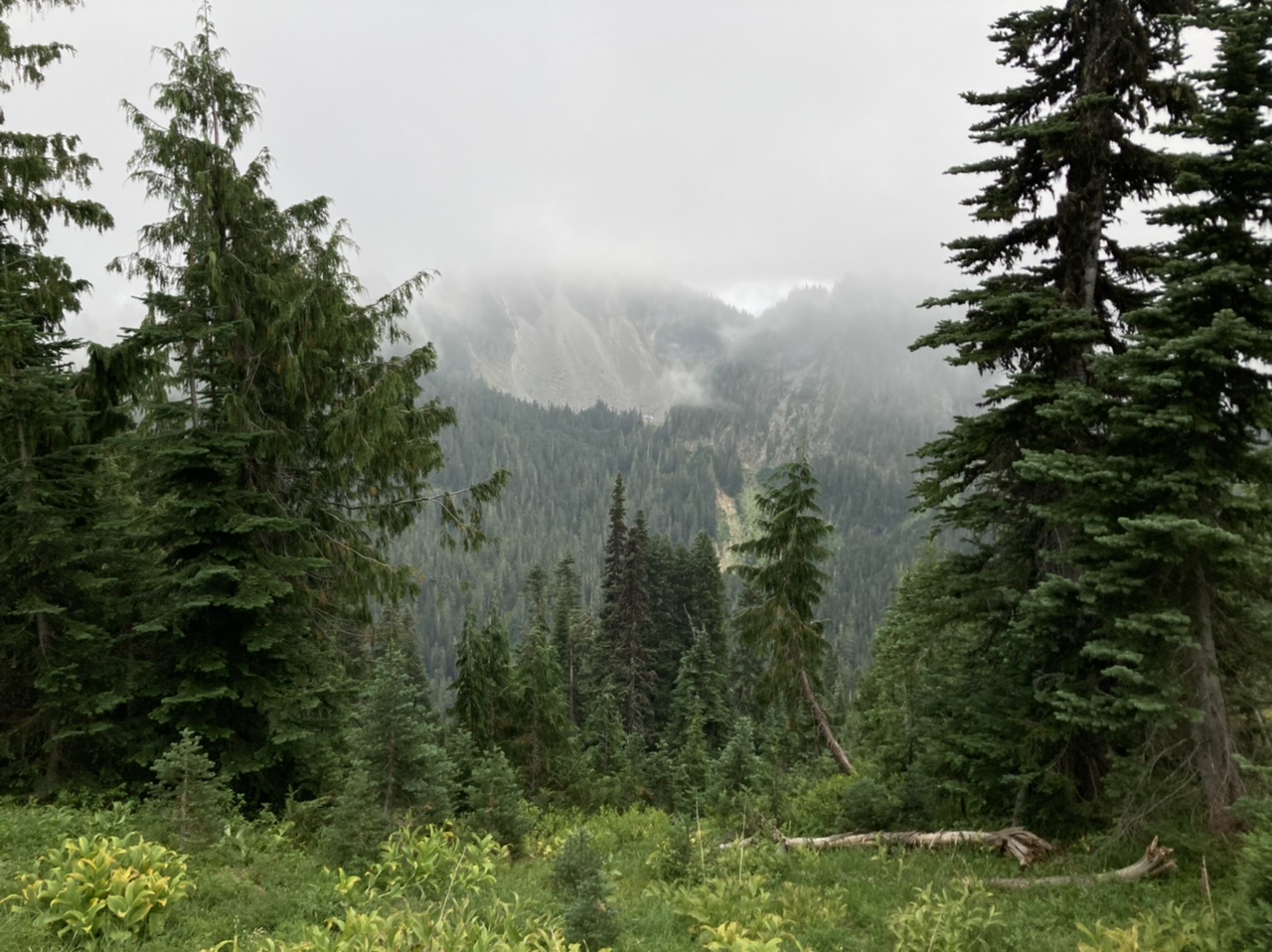
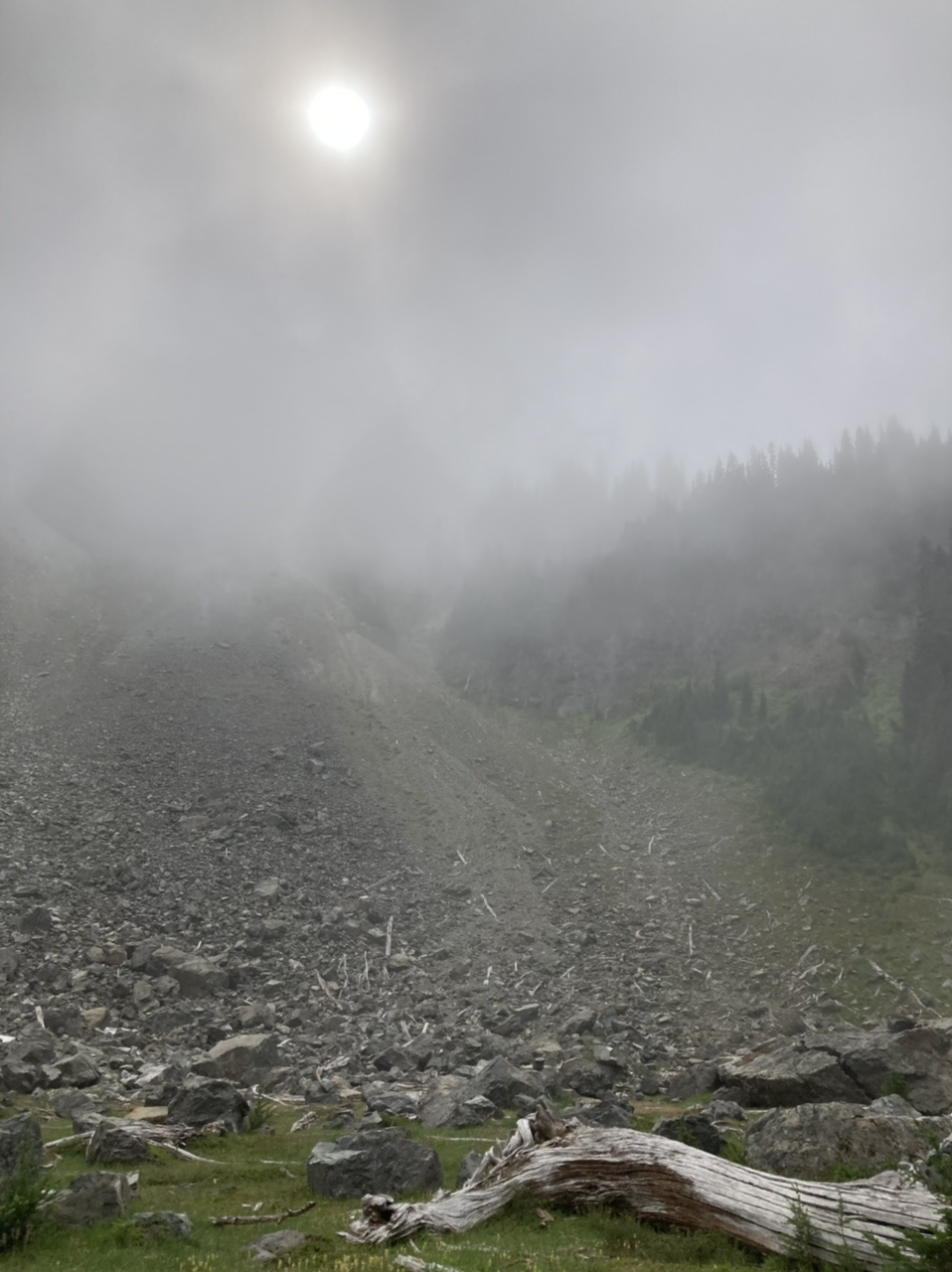
The Needle Creek basin is quite beautiful, we even heard some elk bugling. Past periodic avalanches and outflows were apparent from the tumbled material strewn about…
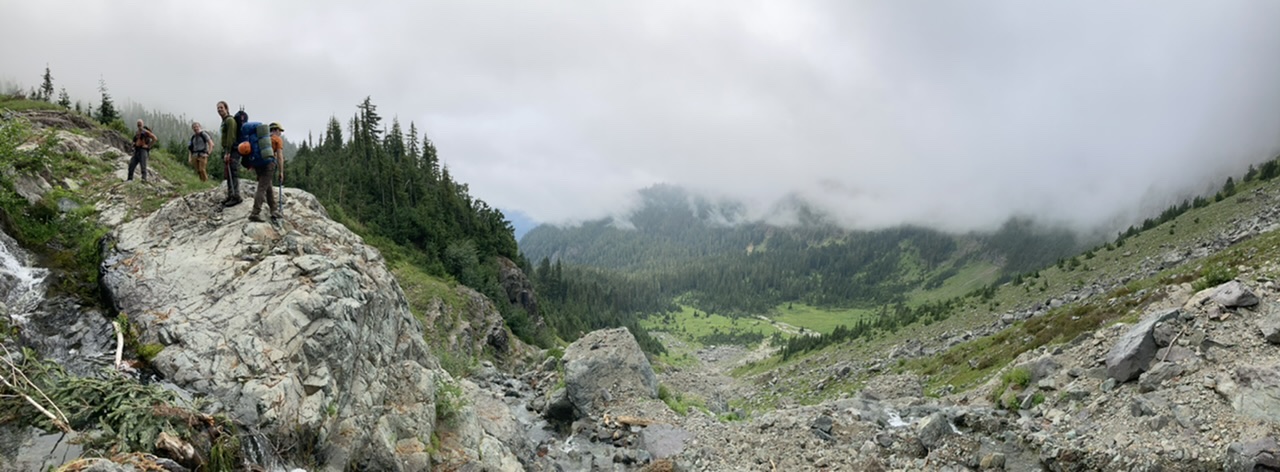
… with some spots more dramatic/recent than others.
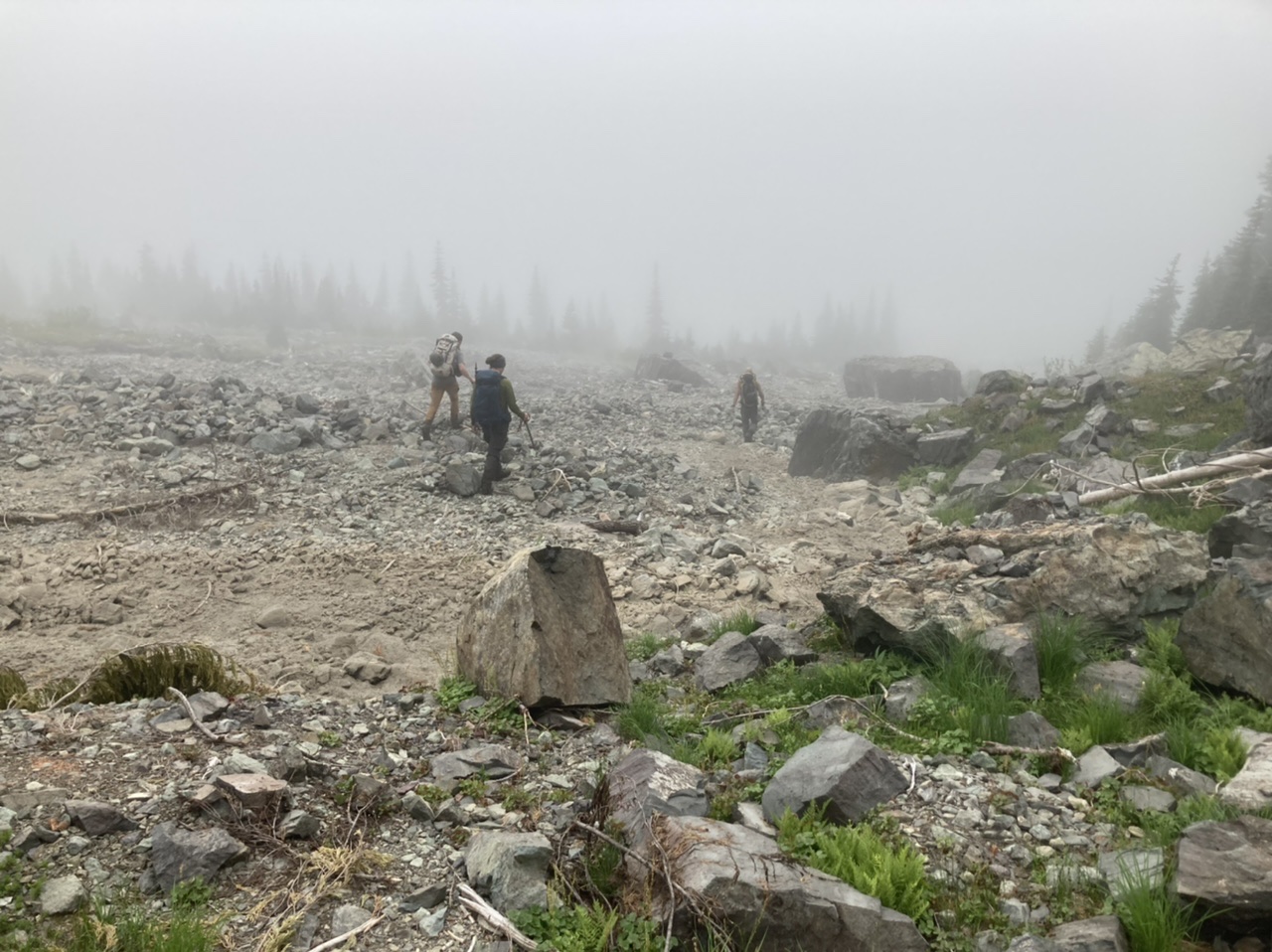
After descending in the general proximity of Needle Creek we crossed an intervening ridge (at a rough elevation of 4600’, lots of game trails in the mature timber on this crossing) to reach the stream draining Lake 4928 at ~4500’. We ascended the ridgelet just west of this stream to reach the lake (albeit with a few bee stings, on our return we stayed closer to the stream and had no stings). Upon reaching the lake the visibility was nil, making route choices difficult, so what do you do? Have something to eat and wait a bit…
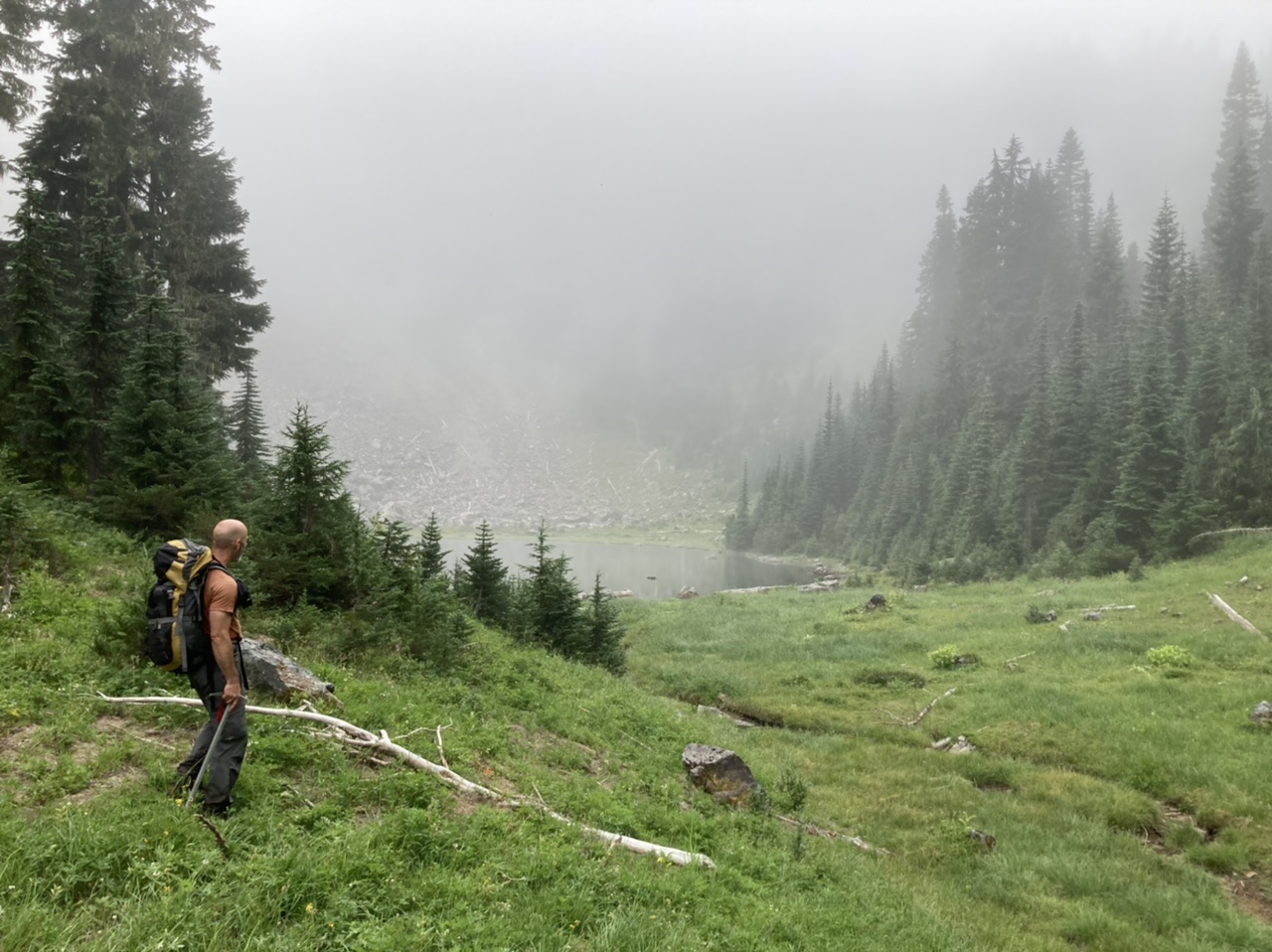
… and after a few minutes we could see this to the SW (towards the lowest spot on the ridge, with a brushy/time consuming possibility just right of center)…
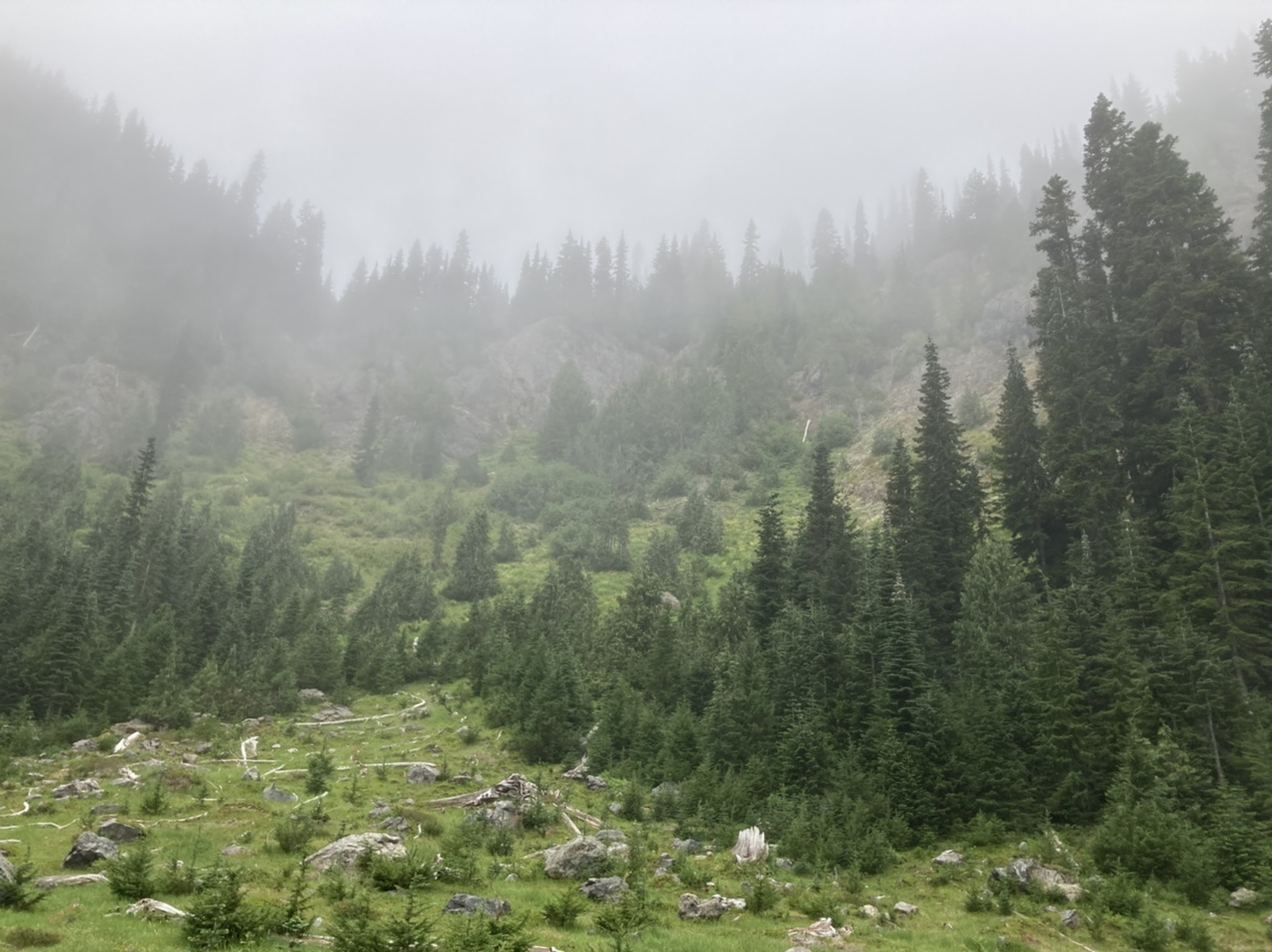
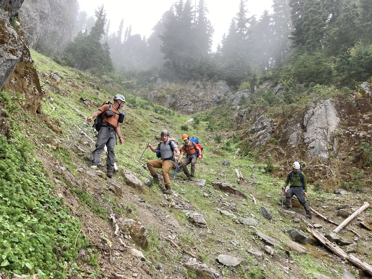
… and this gulley to the south (the one immediately adjacent to cliffs on ascender’s right).
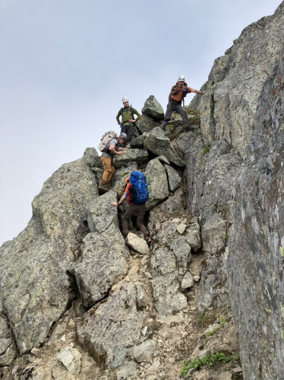
After everyone cogitated a bit we arrived at a unanimous consensus to take the gulley. This gulley was consistently quite steep and not super stable, however the greenery on its ascender’s right margin seemed the best line (we experimented with different lines on ascent/descent, and I’d say this right margin is probably the best route). A choice point arrives at ~5500’, with two possibilities to move right towards the ridge crest shown in the following photo: a) just below the center tree (along the dirt and above the cliffy spot), or b) above the center tree. We opted for b), above the tree…
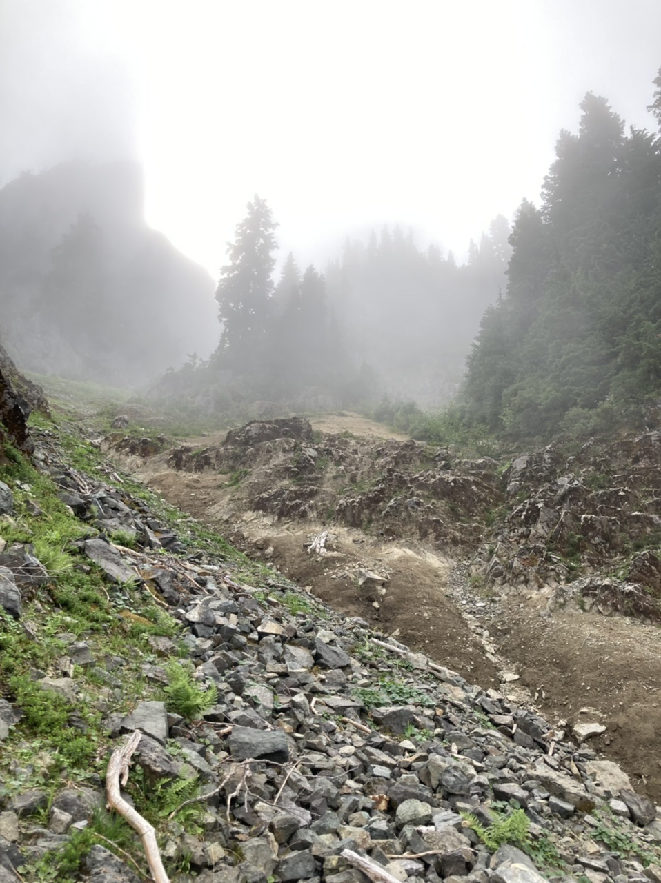
… shown here on our descent with the exit towards the ridge evident to the right and just above the two center people. You can vicariously experience this spot yourself by viewing this video. This exit puts you on the ridge crest at ~5600’ (near a tarn) with ~600’ vertical to Double Peak’s summit.
Still cloudy at the summit, with snaffle hounds (a.k.a. rats/mice) chewing the partially protected register (missing end cap), so what do you do?
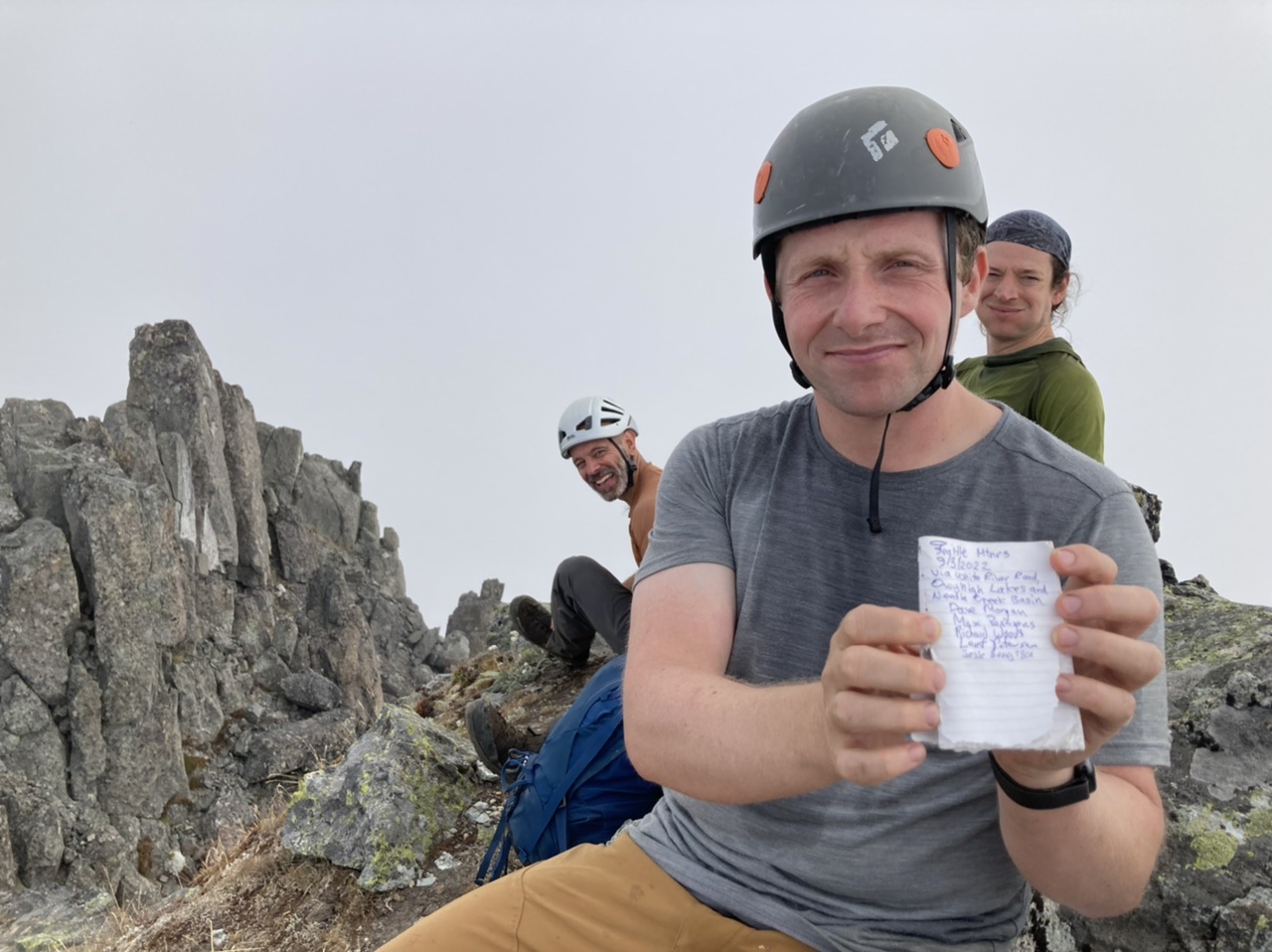
Have something to eat…
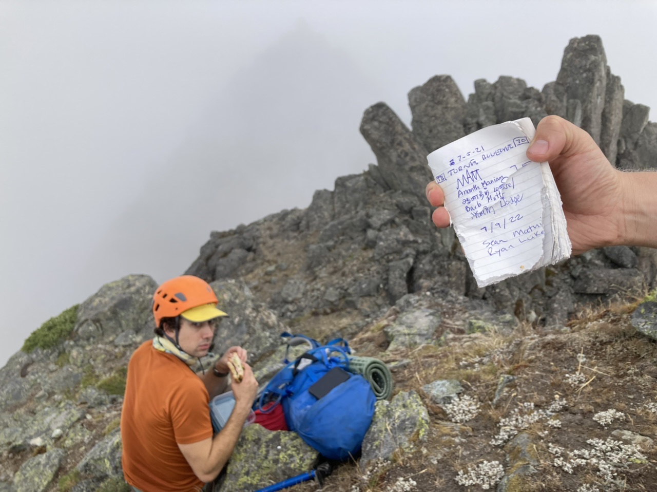
… and wait for the views to show up.
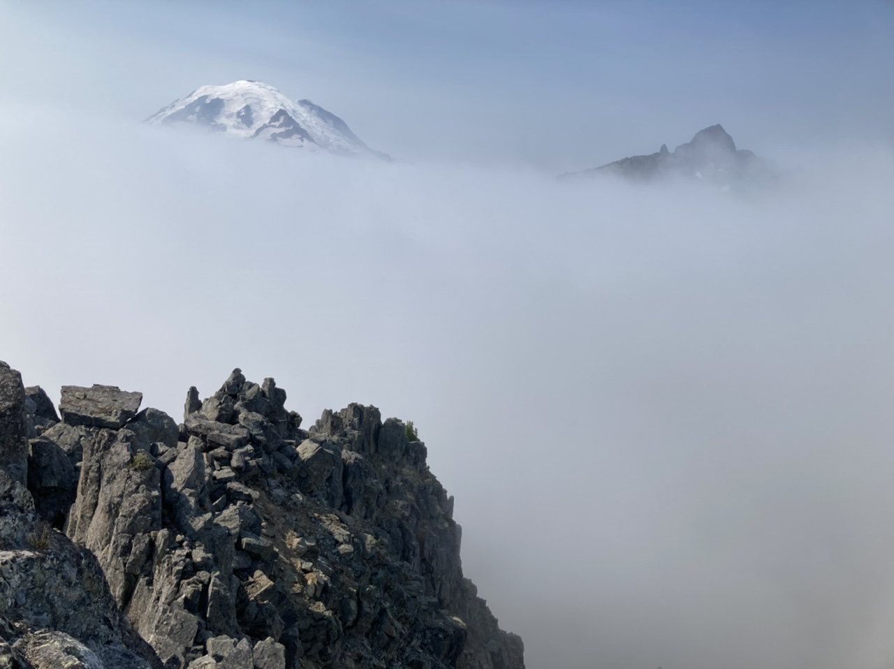
After a slow and steady descent via our ascent route…
… we finally reach Owyhigh Lakes for some beautiful evening lighting.
A great trip, although with it’s unique demands probably only best for extremely fit (and small) parties with recent experience on similar trips. Of particular note, the section from Lake 4928 to the ridge crest is especially tricky. This section, with its very compacted dirt (and overlying loose rocks) is like friction climbing on rock slabs covered with dry dust and small rocks ready to cut loose for ~400’ vertical. Although really only T4+ or T5–, with the need for party members to stay frosty through this area (especially after already covering tiring terrain with many miles to go) I’d call this trip S5, T5 to be on the safe side. Total time, cars to cars was ~12 hours, with 6.5 hours for the ascent and 5.5 hours on the descent. Photos from this and other trips to this venue can be seen here.
 Dave Morgan