Trip Report
Alpine Scramble - Big Craggy & West Craggy Peaks
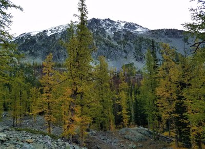
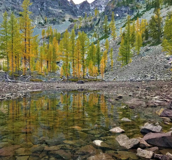
Beautiful views and nice larch trees at the small lake camp.
- Thu, Sep 19, 2019 — Fri, Sep 20, 2019
- Alpine Scramble - Big Craggy & West Craggy Peaks
- Big Craggy & West Craggy Peaks
- Scrambling
- Successful
-

- Road suitable for all vehicles
-
Roads to the Copper Glance Creek TH were not difficult, it's just a long ways away.
Our orginal plan was to do the Chelan Slam consisting of 4 peaks, but due to heavy snowfall and too few good weather days, I resorted to Plan B yet again.
These 2 peaks are often done in 1 long day (with overnight at TH) for very fast scramblers and 2 days for most of us. I had even allocated 3 just in case we wanted to make it more leisurely, but we ended up returning on day 2 since we were back to camp early enough.
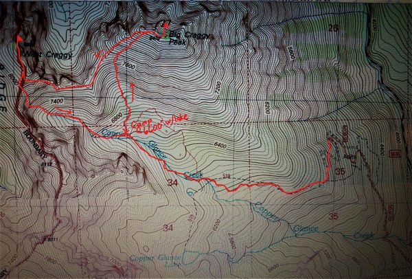
After a long drive and a meal in Winthrop, we arrived at the Copper Glance Creek TH where there is a small parking area. The 3 of us started up the trail at about 12:45pm, heading for a small lake (@ 6600') where we will make camp for the night. We noticed right away all the burned areas on the hillside across from us.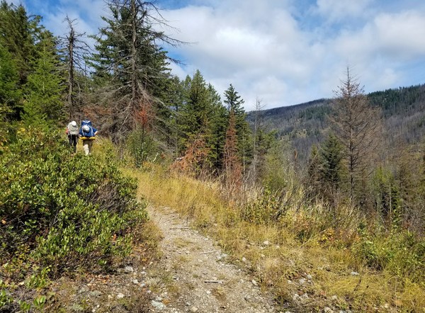 The first 1.5 miles is actually an old and somewhat grown in mining road so was in good shape and not too steep. The real trail begins after this and continues up some switchbacks to a meadow with our first views of Isabella Ridge. Soon we're hiking through major burned areas with more views of Isabella Ridge.
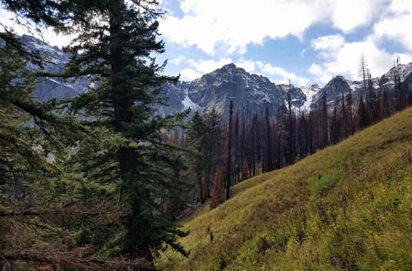
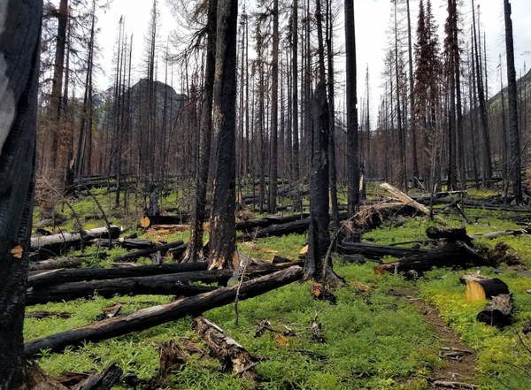 The best way to reach the 6600' lake is to stay on the trail as long as possible. Cross Copper Glance Creek and and then stay fairly near the stream. We left the trail too early (you can see the light red track line where we went up and then down to our camp) which cost us at least 1/2 hour if not more searching for this small lake. GPS track (which I've darkened) of the good route to our campsite. We made it to camp at about 4:20pm.
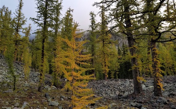
 The campsite was lovely, with larch starting to turn and some flat areas. The heavy rains the past 2 days probably filled the lake some which was good.
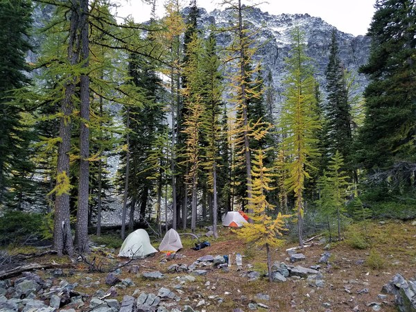 Summit of Big Craggy and our hanging food as seen from our campsite. Our route the next day was to head to the saddle (climber's left that can't really be seen) of Big Craggy, gain the ridge and hike to the summit.
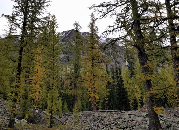 At 7am we woke to clouds obscuring our summit. How disappointing. The below photo is similar to the above.
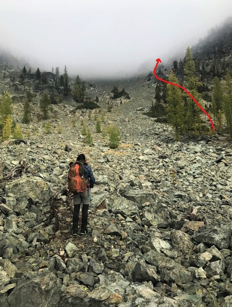
 Frank led us out and we made our way to near the base of the scree. Looking up at the cloud covered saddle.
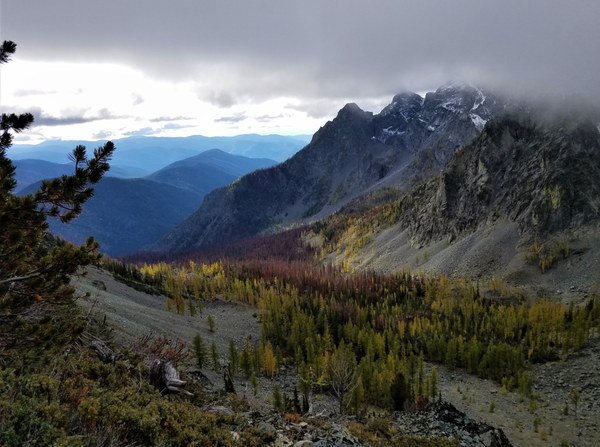
  Looking back. Sad to see the pine beetle infestation making the trees turn red.
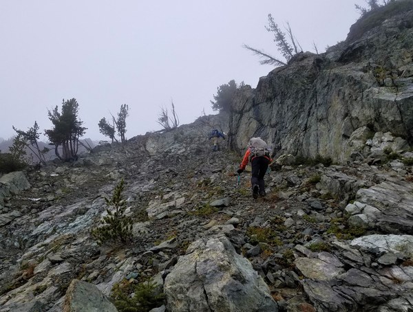
  Into the clouds we go.
 Hitting significant snow by 7000'. Frank has gained the ridge while Shirley and I do an upward traverse to gain the ridge as shown on the GPS track. It's probably better just to go straight up and gain the ridge right away. I am in approach shoes which doesn't seem to be a problem and the snow is actually holding the loose rock together.
 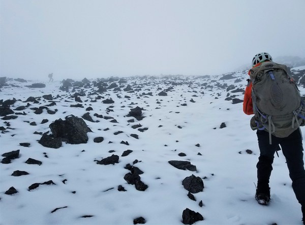 Once on ridge it's an easy hike to the summit. Almost to the false summit with no views.
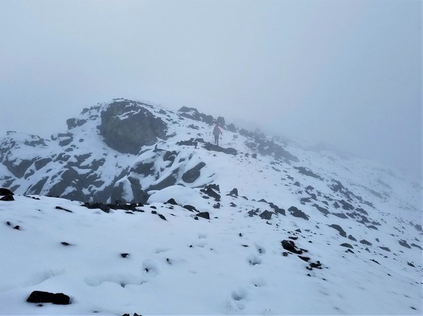 10:15am and Frank's on the summit with Shirley close behind. The sun is trying so hard to break through.
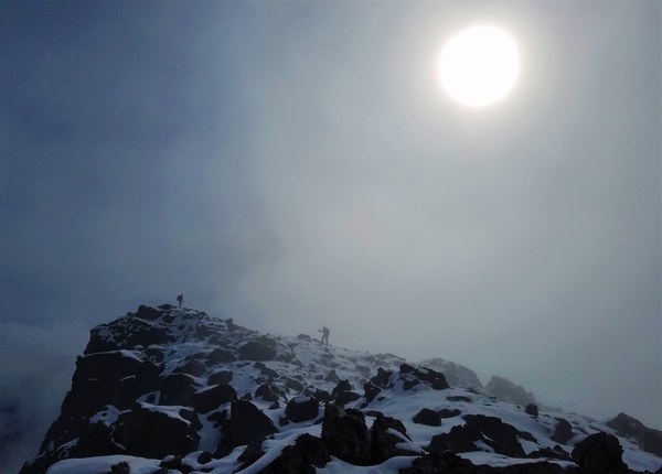 We spend very little time here as there's a breeze and we have nothing to see. But we take our obligatory summit photo and continue for West Craggy.
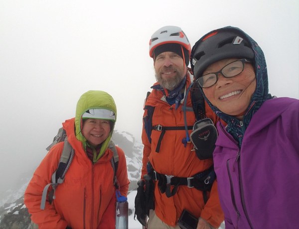 As we head for the saddle, the sun begins breaking through occasionally. East face of W Craggy is in the clouds.
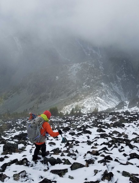 The clouds begin lifting more as we get closer to the saddle. Happy to be able to see where we're going.
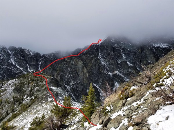 Continuing down Big Craggy's ridge.
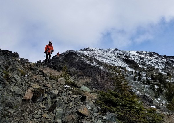 No Dice Lake as seen from the saddle.
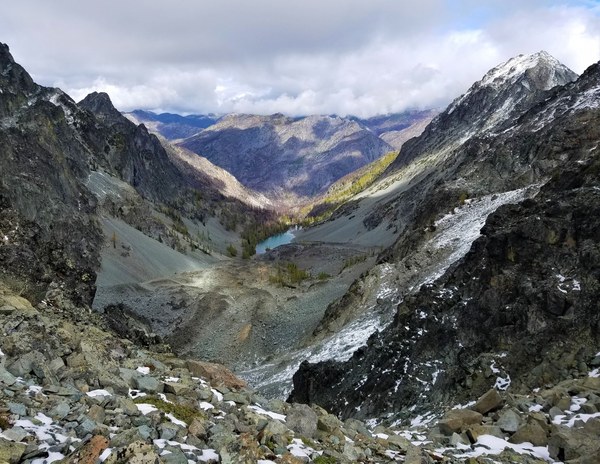 Looking back at Big Craggy.
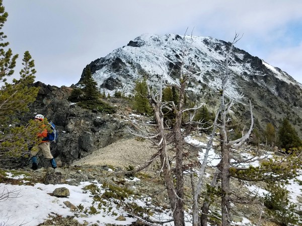 Getting to W Craggy is less straight forward than Big Craggy so we're really happy the weather is getting better and better and we can see where we're going. While traversing around it is imperative to stay around 7500' to avoid the gendarmes that will force you to drop lower if you're too high. There is a slight bootpath off and on and a very occasional cairn for guidance. The distance between the 2 peaks is about a mile. Photo below of the traverse.
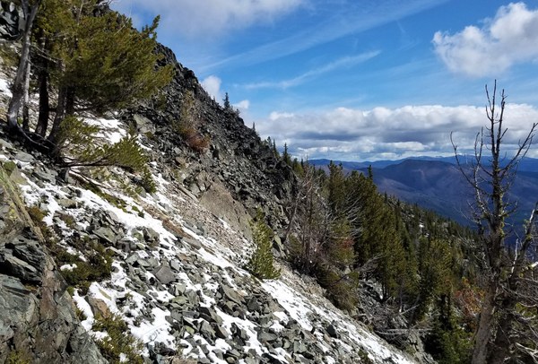 Heading up 3rd class gully after traversing. Easy to stay on solid rock off and on as well.
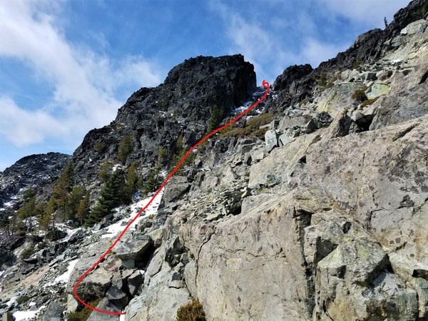 Once on the other side of the notch (as seen above) we drop down a little and continue to another notch in order to get to the other side. There is a cairn at this notch.
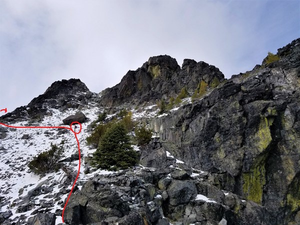 Once around, it's an easy slog to the summit of W Craggy.
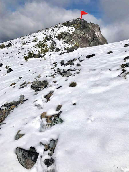 Views from the summit are amazing! N Craggy and Big Craggy.
 Looking SW. Silverstar is out there.
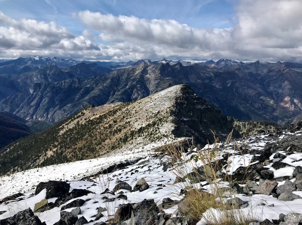 Signing the register.
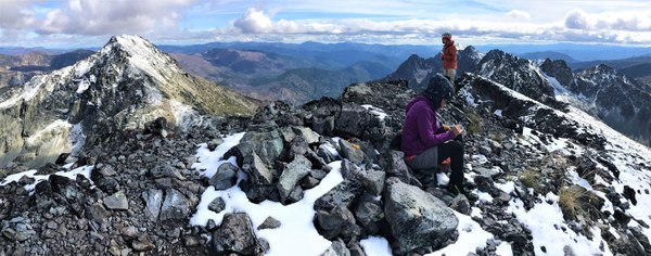 After enjoying the views, we head back, retracing our steps for part of the way.
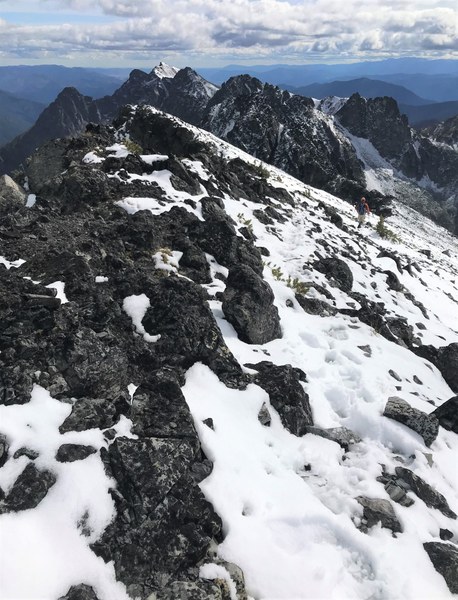 Another view of Big Craggy and the ridge we traversed.
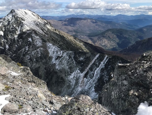 Instead of heading back to the saddle, we head further south before heading SE down another gully that will take us straight to our campsite.
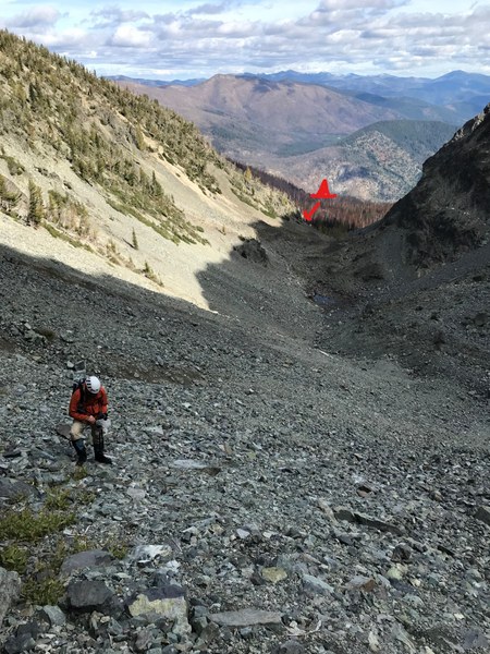
 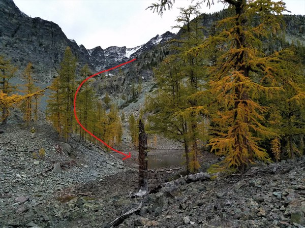 Loose rock/choss/talus down the gully.
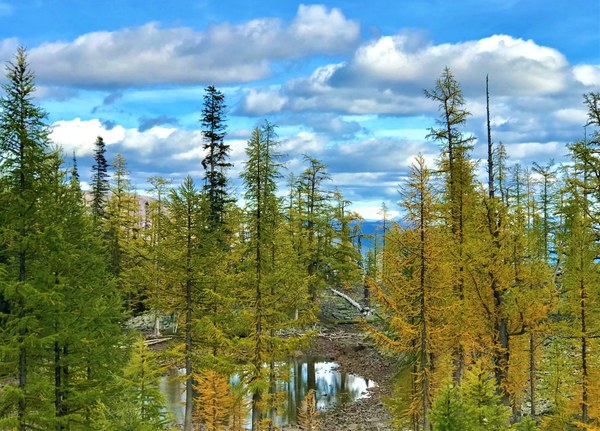
 Another look at our little lake and golden larch as we reach our camp at 4pm.
Packed and back on the trail at about 5pm and back at the TH at about 7pm. Many thanks to Frank for making the long drive back to Seattle in the dark and to Shirley for her many beautiful photos, esp after my camera died right before reaching W Craggy. Such a nice 2 days with these 2 wonderful Mountaineers!
 Susan Shih