Trip Report
Alpine Scramble - Bedal Peak via Merry Brook
Enjoyable scramble with beautiful views and some good glissade opportunities this time of the year. The only crux is making sure you find the "key ramp."
- Wed, Jun 16, 2021
- Alpine Scramble - Bedal Peak via Merry Brook
- Bedal Peak
- Scrambling
- Successful
-

- Road rough but passable
-
The parking place is just a pull off area on NF-4096. There's room for about 5 cars at the most.
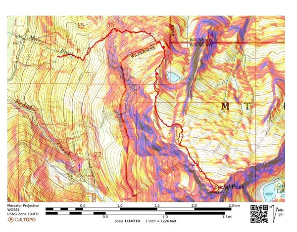
Several of us spent the night at Bedal Campground (really nice campground,) a few miles from the trailhead (2100'.) We all met at the entrance to the campground at 8am the next morning and caravaned to the TH. We were off at 8:45am. The steep and well flagged (pink & blue) trail that follows Merry Brook was in much better shape than anticipated. 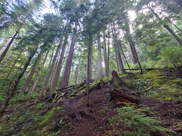 At about 2500' we start doing a rising traverse. During this time we run into an area with many downed trees. This is the only place we had to crawl over numerous logs at once. Didn't take very long to pass this, but wonder what caused it.
 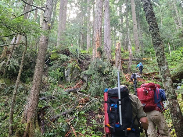 At 2800' the trail is steeper again. We encounter our first mossy boulderfield at 3700' and move through it quickly. The moss is wet from yesterday's heavy rains.
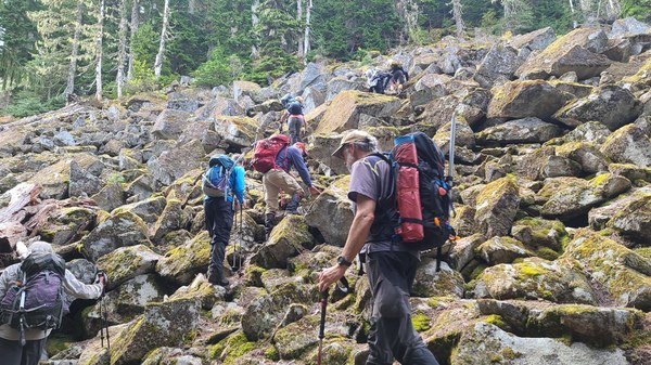 At 4200' we encounter snow in our 2nd boulderfield. We move through it carefully as to not punch through.
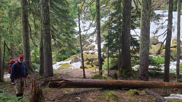
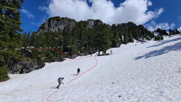
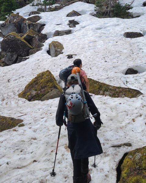 From here we're on good snow for the rest of the trip. At 5000' we're out of the trees and have arrived at the entrance to the "key ramp." Do not go straight up the basin. Amelia is heading for the "key ramp" in the photo below.
 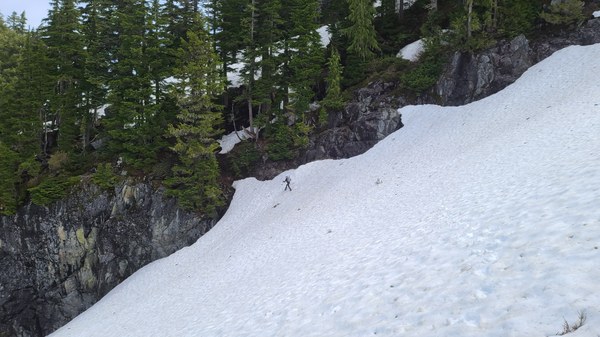 Photo taken on the return as we get off the "key ramp."
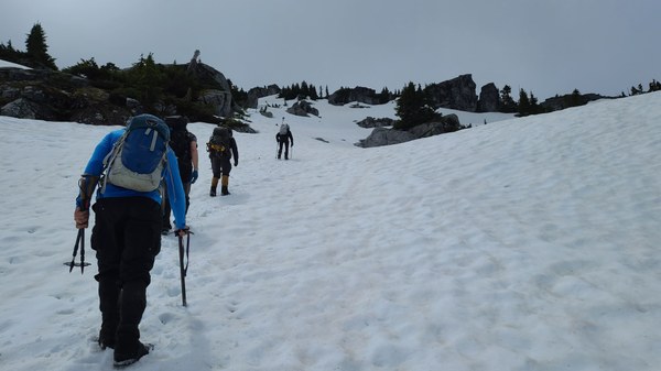
 Once around the other side of the rock in the photo above, it's straight up again on open slopes. There are some melted out footprints to follow.
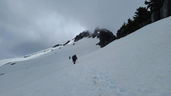
 Some of our first views of Bedal Peak as we start to traverse.
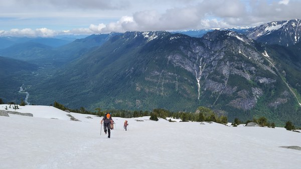
 Looking back at Mt Pugh whose summit is in the clouds and the Sauk River below.
 As we near Bedal Peak, we notice footprints going both ways and I've read reports on both options. The higher route, I read is only viable with snow as otherwise there's supposedly a cliff band.
 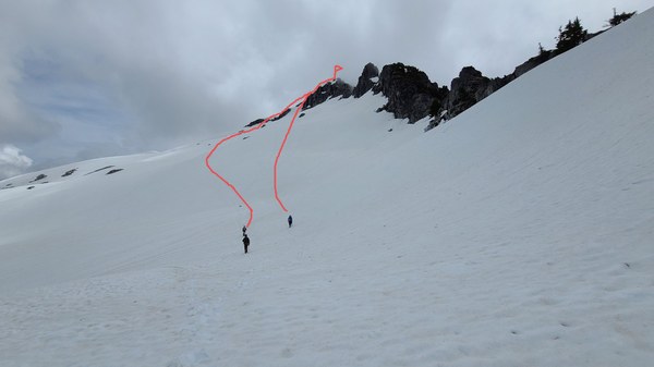 A closer look.
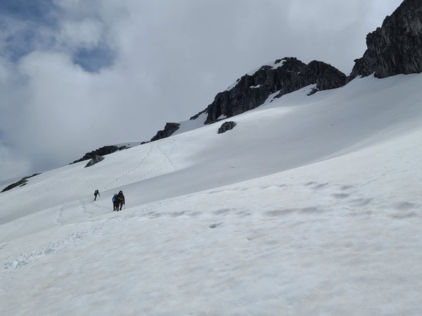 An even closer look.
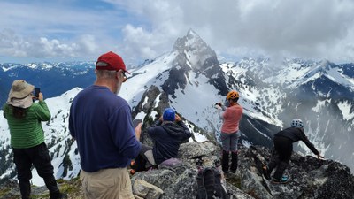
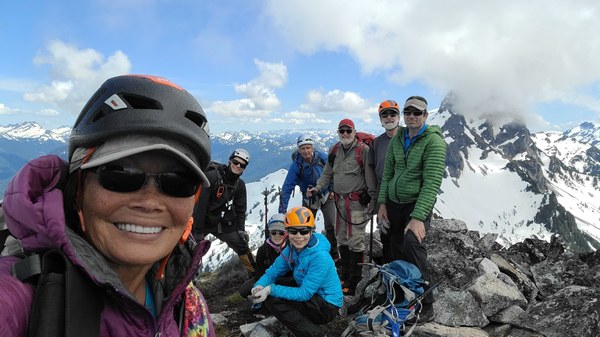
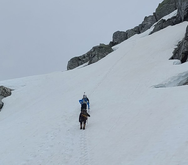 Negotiating over that rock wasn't very easy, but we made it work. A couple others took the easier route and went around. I would recommend that way over what most did even though it's a bit longer. On the descent, we all went around. Views from the summit are beautiful with Sloan being particularly dramatic.
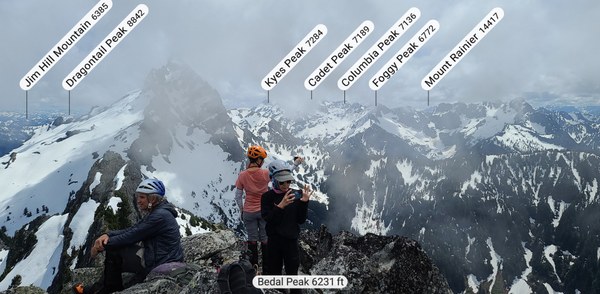
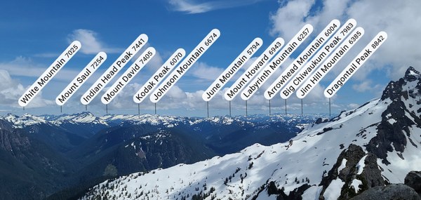
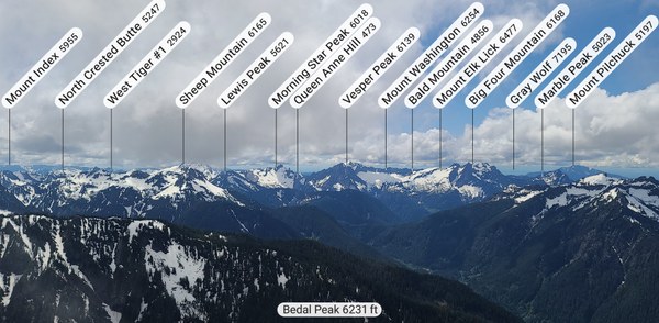
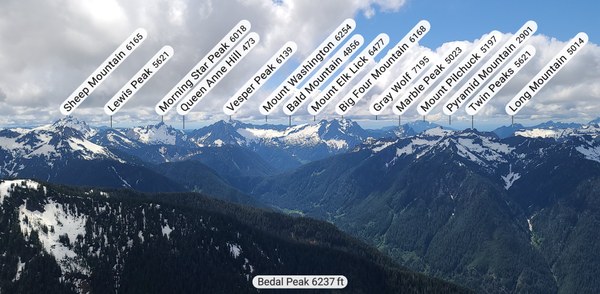
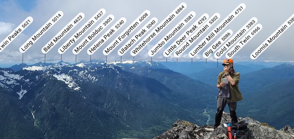 Unfortunately, Glacier Peak is in the clouds.
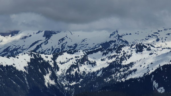 After a hour on the summit, we head down the easier route and get some glissades in along the way.
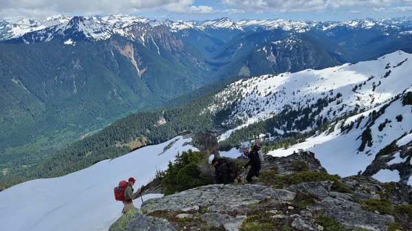 Looking back at the summit via the easier way. Whitehorse and Jumbo are in the distance.
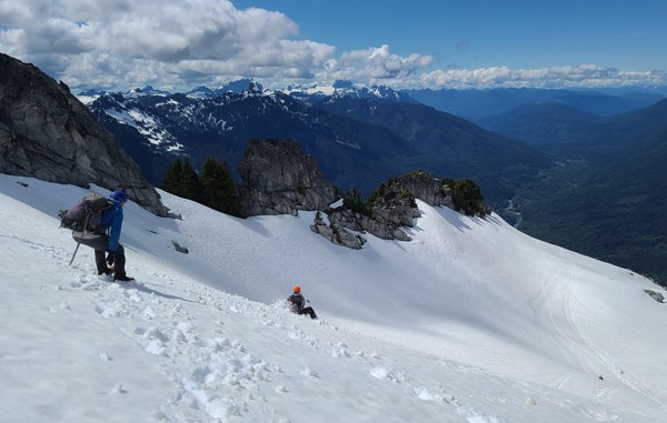 And yet another glissade. Mt Pugh in full view now.
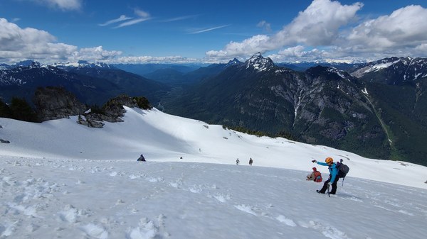 We retrace our route exactly as we came up with no problems and are back at our cars 9 hours later. Although steep, it was a fairly leisurely trip with numerous stops. What a fun group to have on a scramble!
Stats per my GAIA: 6.1 miles/4300' gain
Great little scramble for this time of the year. Luckily the mosquitoes weren't biting, but they are definitely out in the lower elevations now.
 Susan Shih