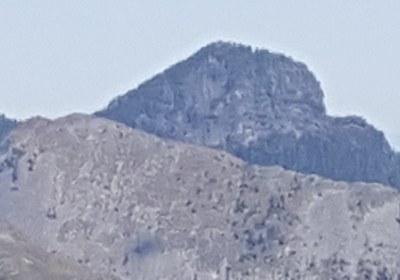
Pitcher Mountain
Pitcher Mountain, near the Carbon River and northwest corner or Mount Rainier National Park, is a scramble moderate in elevation gain and distance......but challenging in navigation. Most of the trip is off-trail, with brush and swamp and steep forested slopes, to an impressive rocky summit.
Ascent Route
From cars follow spur road (this old road is now an overgrown trail) northwest till you come to open meadow with lots of logging debris. Cross this swampy meadow passing remains of an old cabin and ascend a steep brushy gully at the north-northwest end of meadow. From the notch at top of gully drop only 20-50 ft or so just enough to get around the rocky outcropping. Contour to the right through steep timbered slopes until you can see a gully going up. Recognizing the right gully is critical as several minor gullies are very steep and slippery. Ascend until you attain the ridge and follow to the summit.
Early season may not be able to drive to start of trip. Gully is very brushy and filled with slide alder. It is best done in snow. The swampy area can be a challenge. Late May or early June are good times.
Alternative
Can be combined with a trip up old Baldy by running the Carbon Ridge between the two summits, a strenuous trip.
Notes
This peak is not often climbed. When damp, the difficulty is more like a Technical 5.
- Suitable Activities: Scrambling
- Seasons: May, June, July, August, September
- Weather: View weather forecast
- Difficulty: Technical 3, Strenuous 3
- Length: 4.0 mi
- Elevation Gain: 2,000 ft
- 5,933 ft
-
Land Manager:
Mount Baker-Snoqualmie National Forest
Clearwater Wilderness
- Parking Permit Required: Northwest Forest Pass
- Recommended Party Size: 12
- Maximum Party Size: 12
- Maximum Route/Place Capacity: 12
- USGS Bearhead Mtn
There are no resources for this route/place. Log in and send us updates, images, or resources.
