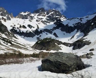
Trip Report
Basic Alpine Climb - Monte Cristo/North Col
Need a variety of skills and some luck with conditions to tag this one. Stunning views.
- Sat, Jun 1, 2019 — Sun, Jun 2, 2019
- Basic Alpine Climb - Monte Cristo/North Col
- Monte Cristo/North Col
- Climbing
- Successful
-

- Road suitable for all vehicles
-
We were lucky with the route conditions. Otherwise, we would not have made it to the summit.
The 4 of us met at Barlow Pass at 1pm on Saturday. This was going to be a leisurely trip although I posted it as challenging due to the steep snow we were to encounter.
From the TH, we biked the 4.5 miles to the Monte Cristo townsite where we took a break, filtered some water and left our bikes. The creek crossing was not a problem.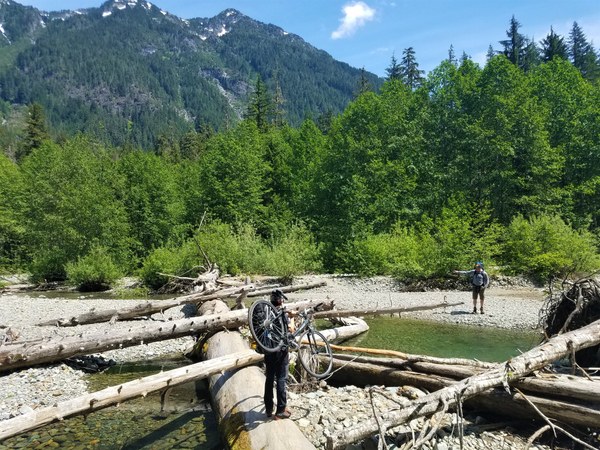 From the townsite (2762') we backpacked the 2.5 miles of trail (sometimes very rocky) to Glacier Basin and set up camp on 2 dry and established campsites on top of Ray's Knoll (4700'.) We hit snow at about 4100.' It took us about 4 hours to get here from the TH.
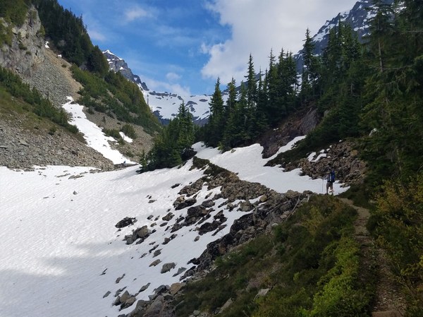
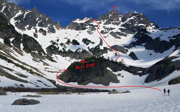 What a lovely place without another soul here on this beautiful weekend. We looked for avalanche activity and discussed our route choice for the next day.
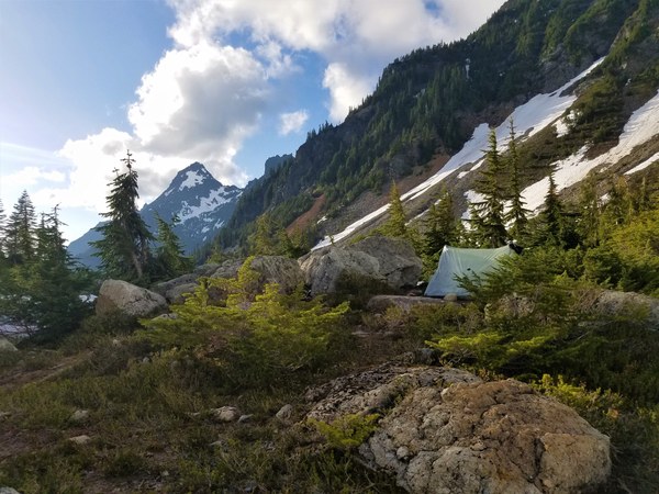 We departed camp a little after 7am with Dan in front. He ended up kicking steps almost all the way to the N Col before Scott finished up.
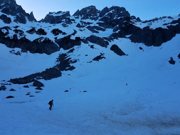 It gets steeper and steeper with the top few hundred feet at 45 degrees. It never froze the night before so the snow was soft enough for good step kicking, but luckily hard enough for a good self belay too.
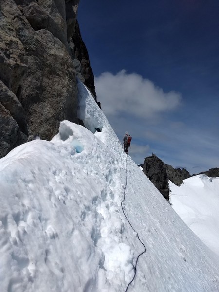
 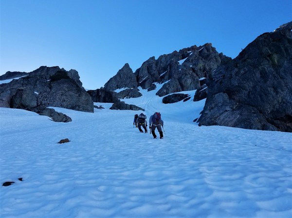 We reached the N col (also referred to as the V-notch @ 6860') and sunshine around 9am where we roped up for the 200' of steep traversing we needed to do.
 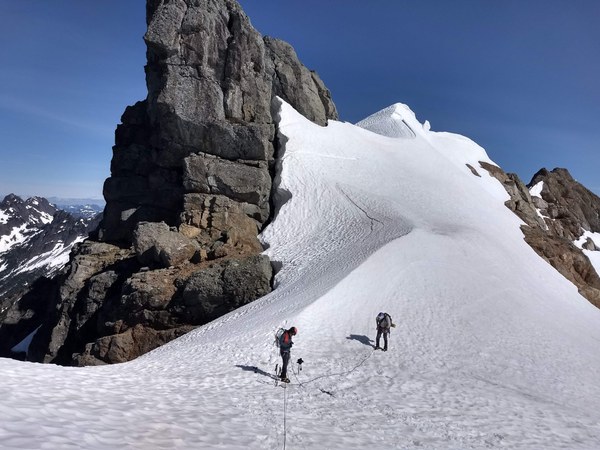 We had 2 - 30m glacier ropes. Scott led out with me tied into both ropes and each of us 15m apart. Mark, being last had the extra length coiled on him.
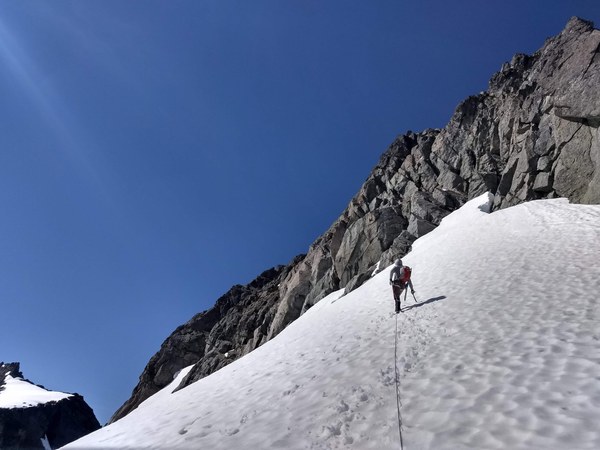 Looking back at Mark.
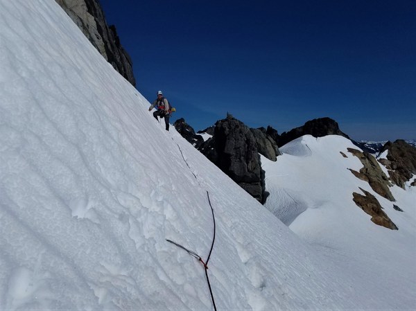 Scott sets 4 pickets with the last one at the base of our rock pitch and belays everyone in. He's just rounded the bulge in this photo, where we start our rock pitch.
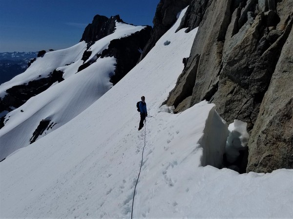 We are lucky to have no problems getting on to the rock. There is even a large, flat rock I can sit on to change into my rock shoes. I knew I was going to lead the 30 feet or so of rock so brought my rock shoes. After reading some trip reports, I decided this was the most prudent thing for me to do although good rock climbers could do in their boots. The start of the rock pitch where Scott belays me using both ropes.
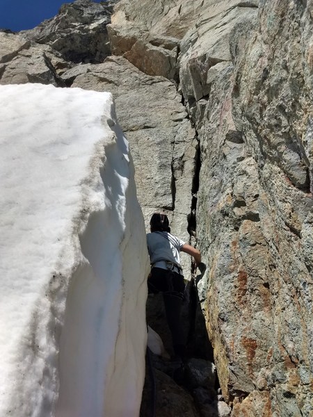 The bulge to get over. Thankfully there are several slings to pull on which really help. They're looking pretty ratty so I really yank on them before committing my weight to them. I end up placing only 1 .5 link cam and clipping into 1 sling.
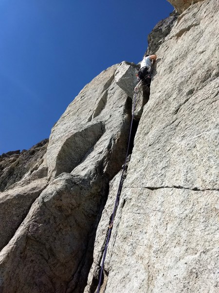 About 20' from the end of the pitch is the anchor with lots of old and faded webbing. I sling my cordellette around it and belay each person up.
 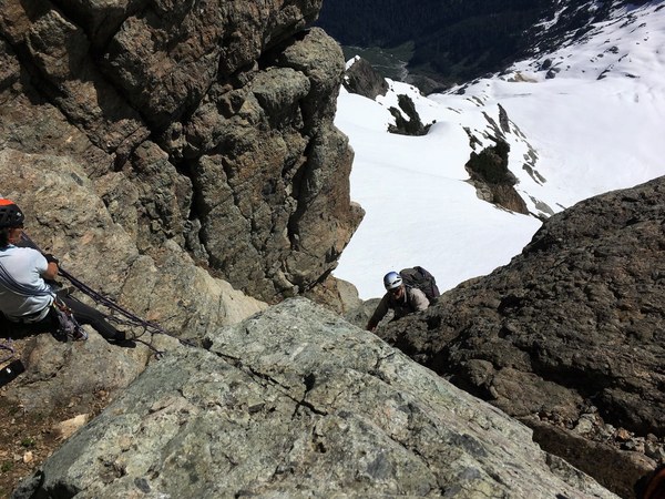 From here the few hundred feet of scrambling starts to the summit . Up a slab that's still partially covered in snow we go. Dan coming up the slab.
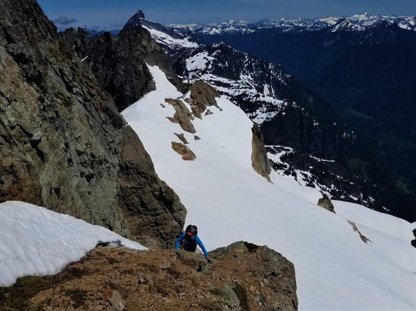 Then the loose, crappy Breccia where we can't trust the feet or hand holds. It's awful.
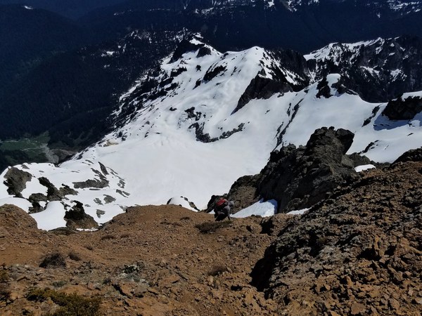
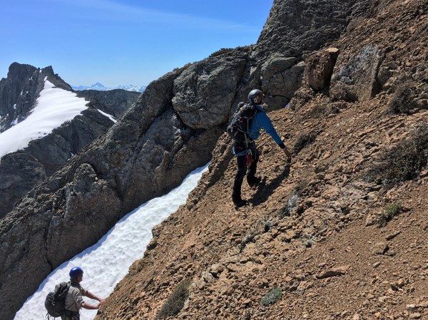 Then into a couple different gullies. There are a few areas of solid rock which we try to stay on when possible. Below is a photo of us on the descent.
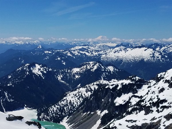
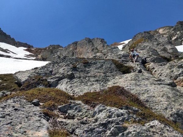 On the summit are amazing views of the Monte Cristo range and others. Kyes Peak towards the SE and Blanca Lake below to the south.
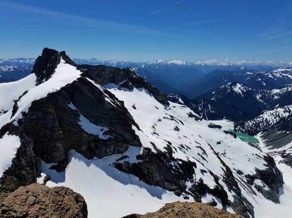 Columbia Peak to the SW
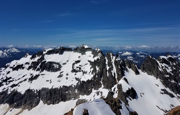 I got these peak names off Summitpost.org. F=Forgotten, C=Cadet (main peak,) W=White Chuck, P= Pugh, S= Sloan, SN= Snowking and E=Eldorado
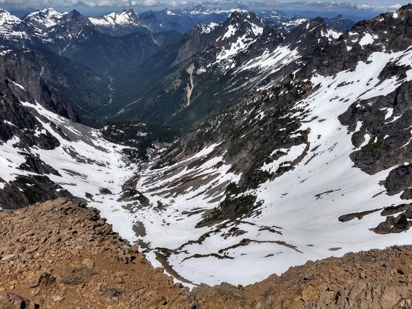
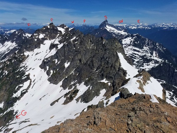 Looking down at Glacier Basin and our campsite. The distant peaks include Del Campo, Vesper, 3 Fingers, Pilchuck and many more.
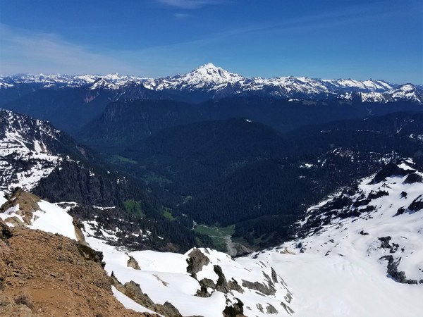
 Looking northerly at stunning Glacier Peak and the Pride Basin and Cadet Creek below.
 Rainier and Blanca Lake.
 Carefully down we go.
 We leave new anchor materials for our rap back to the base of the rock. Scott leads out again to the col.
 We're back at the col around noon. This is where things really slow down. For people who are really comfortable on steep snow they can make it down in not much more than a hour probably. Scott plunged step almost all the way down I think. But I need to face in to back down at least 300 feet. This took me hours and my hands got so cold doing a high dagger belay or sore from a regular belay, driving the spike in for so long. I would have preferred rappelling.
Anyways, we all got down safely. Scott and Dan had been waiting quite a while for Mark and I so I suggested we separate and they go ahead and leave. It was close to 3:30pm by then. After they left, Mark and I finished packing up and left about 4:30pm. Tired and sore, we make the trek and bike ride back to our car. It was 8pm for us by then where as Scott and Dan had made it back closer to 6pm.
Challenging, but a rewarding peak to climb. I doubt people go back for seconds on this one. Thanks to this great team, I got my 97th Jeff Smoot peak.
Scott: Assistant leader extraordinaire and amazing on snow!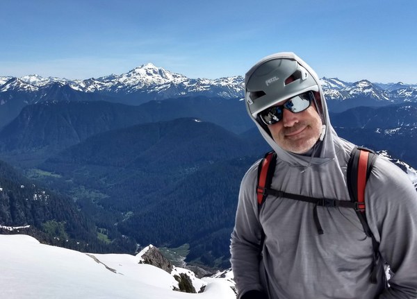 Dan: The step kicking machine!
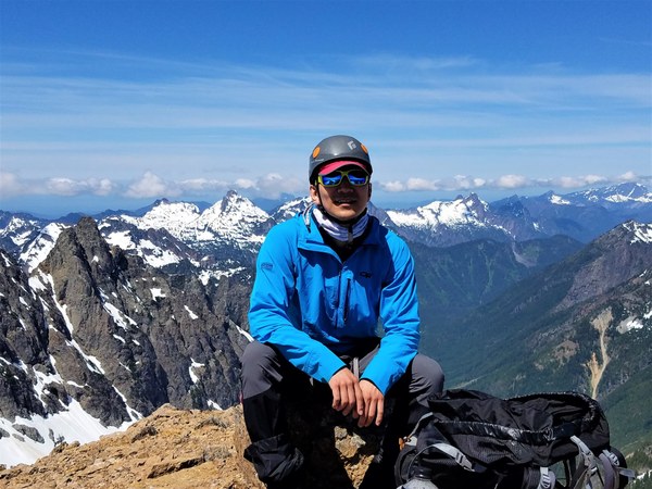 Mark: Hubby supreme and supporter of all I do.
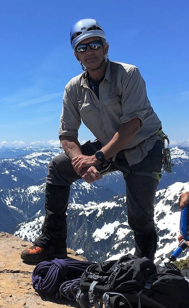 Thanks to all for sharing your photos so I could use them to help tell our story.
 Susan Shih