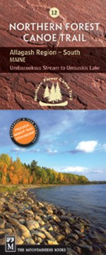
Northern Forest Canoe Trail #12 - Allagash Region, South: Maine
Umbazooksus Stream to Umsaskis Lake

Mountaineers Members Discount
Log in to access the promo code and receive 20% off your order.
Description
* The official Northern Forest Canoe Trail maps, produced by the organization that conceived, coordinated and developed it
* NFCT flows through New York, Vermont, Quebec, New Hampshire, and Maine
* Maps include put-in points, portages, campsites, local contact information, and permit guidelines
* Water- and tear-resistent color contour maps offer detailed route descriptions
Allagash Region: South Maine (Trail Section 12).
The 740-mile water trail links the watersheds of northern New York, Vermont, Qu̩bec, New Hampshire, and Maine, following Native American travel routes through the rivers of this region. The route on this map is nearly to the end of the Trail's eastern-most terminus.


