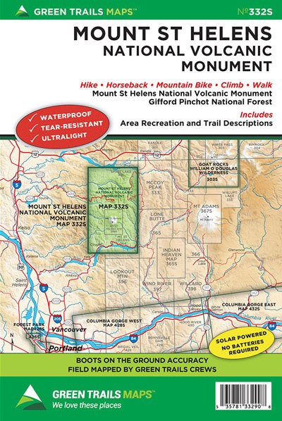
Mount St. Helens National Volcanic Monument No. 332S
Green Trails Maps

Mountaineers Members Discount
Log in to access the promo code and receive 20% off your order.
Description
Have a blast using this map to explore America’s most famous volcano. It’s the most comprehensive, accurate and trusted map for the entire Mount St Helens National Volcanic Monument. Our boots-on-the-ground mapping crew scoured the mountain and region to make sure trails are accurately portrayed. Reroutes on the round-the-mountain Loowit Trail are shown to make sure you stay the course and know the true distance and elevation gain and loss along the way on this demanding but scenically spectacular trail. This map includes every trail within the monument including the Mount Margaret Lakes Backcountry, Tumwater Mountain, Green River valley Strawberry Mountain, Castle Ridge, Smith Creek and Fossil Creek. Climbing routes are also shown as well as the monument’s winter ski, snowshoe and snowmobile trails.
Original Edition 2015, Current Edition 2016
Map Scale 1:63,360
Original Edition 2015, Current Edition 2016
Map Scale 1:63,360


