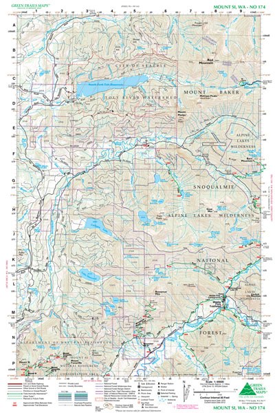
Mount Si, WA No. 174
Green Trails Maps
Mountaineers Members Discount
Log in to access the promo code and receive 20% off your order.
Description
Original Issue Date 1976; Latest Revision 2012
Green Trails Maps show the most current trail, road, and access information to national forests, national parks, state and local parks and other public lands.
Flat: 12" x 18", 15-minute map, paper
Green Trails Maps show the most current trail, road, and access information to national forests, national parks, state and local parks and other public lands.
- Mount Baker-Snoqualmie National Forest
- Alpine Lakes Wilderness
- Tolt River Watershed
- South Fork Tolt Reservoir
- Mount Si Natural Resources Conservation Area
- Middle Fork Snoqualmie River
Flat: 12" x 18", 15-minute map, paper
