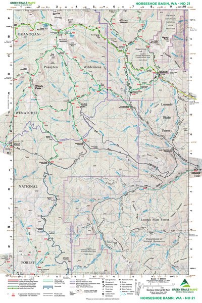
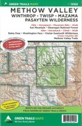
Horseshoe Basin, WA No. 21
Green Trails Maps

Mountaineers Members Discount
Log in to access the promo code and receive 20% off your order.
Description
Original Issue Date 1980; Latest Revision 2018
Green Trails Maps show the most current trail, road, and access information to national forests, national parks, state and local parks and other public lands.
Flat: 12" x 18", 15-minute map, paper
Green Trails Maps show the most current trail, road, and access information to national forests, national parks, state and local parks and other public lands.
- Okanogan-Wenatchee National Forest
- Loomis State Forest
- Chopaka Mountain Natural Area Preserve
- Pasayten Wilderness
- Horseshoe Basin
- Windy Peak
- Armstrong Mountain
Flat: 12" x 18", 15-minute map, paper


